LOCATION & SIZE
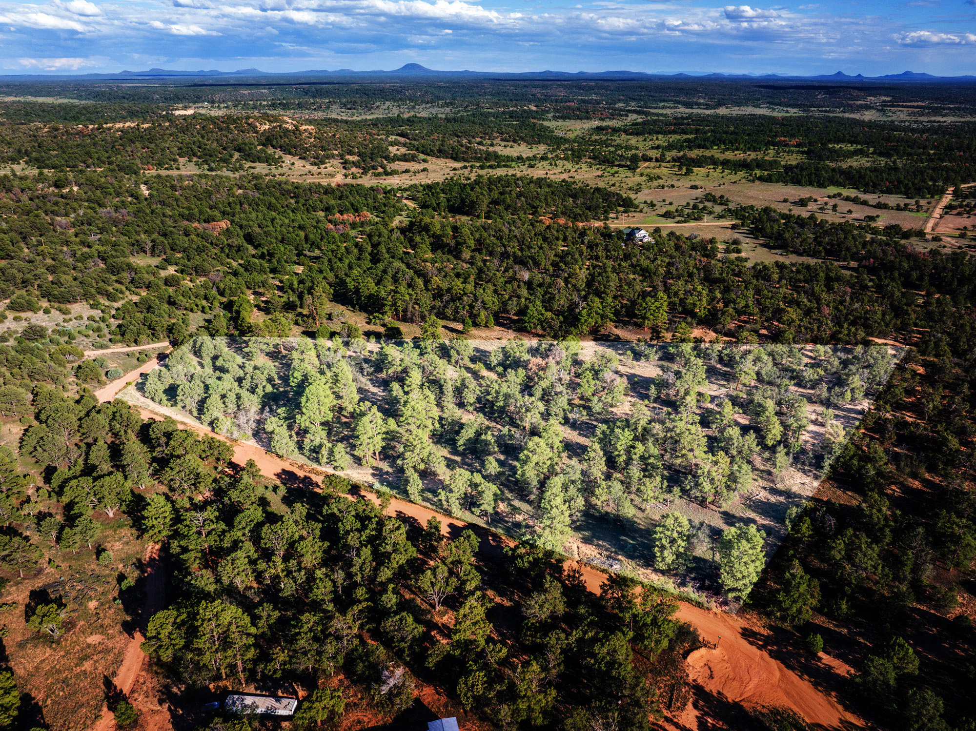
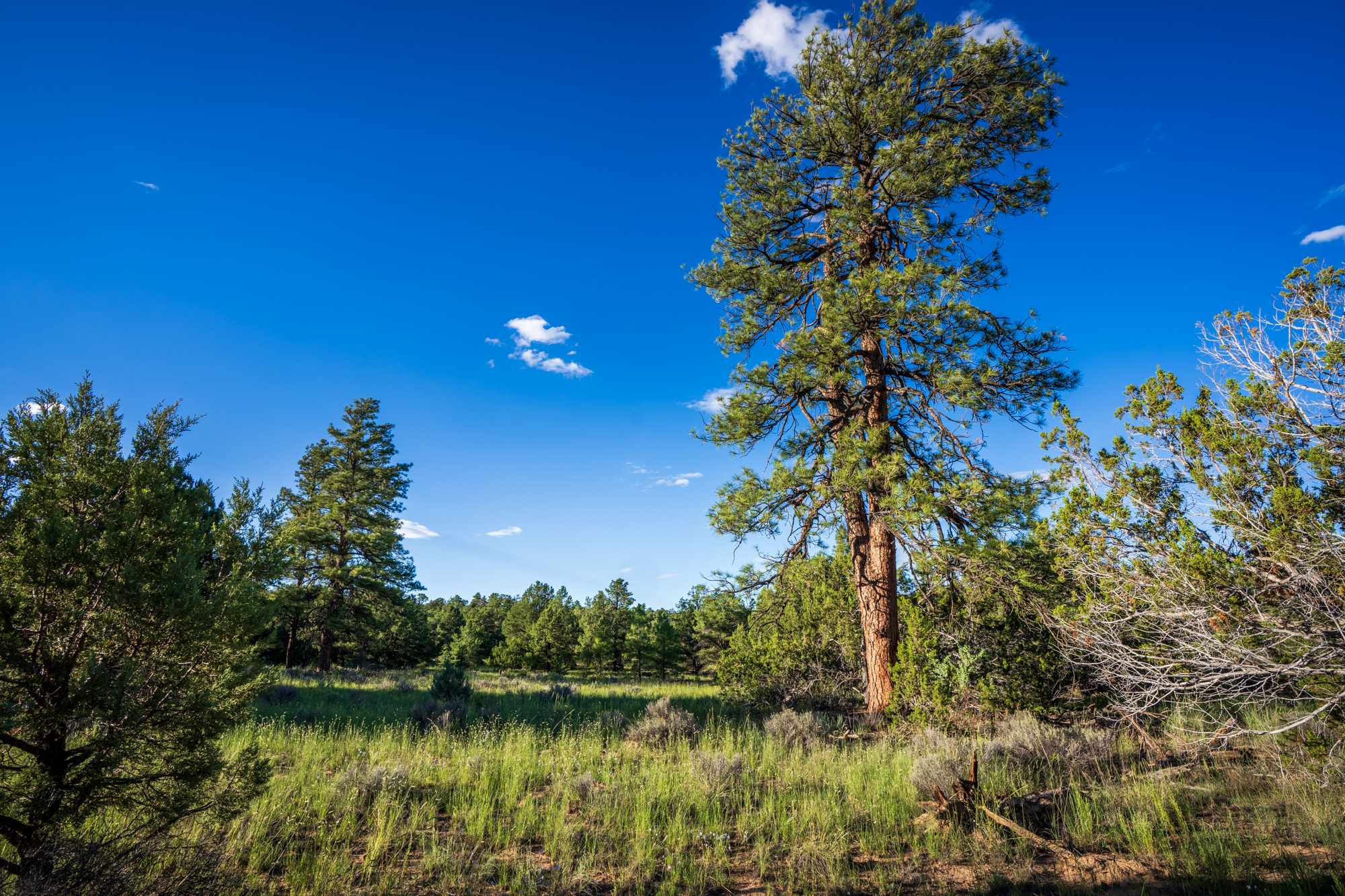
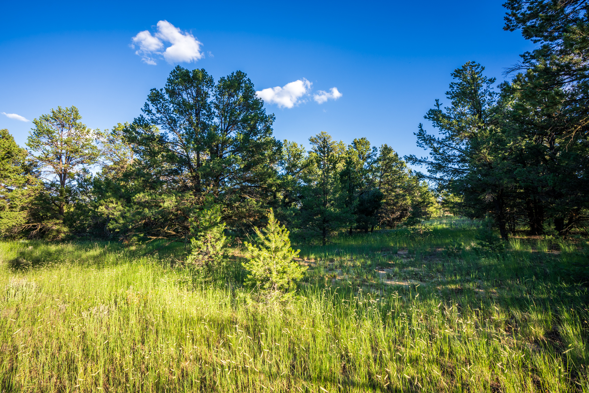
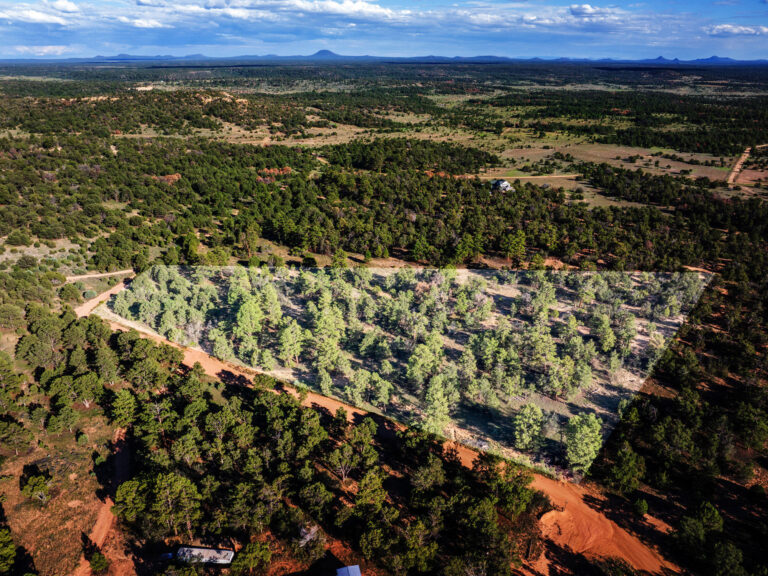
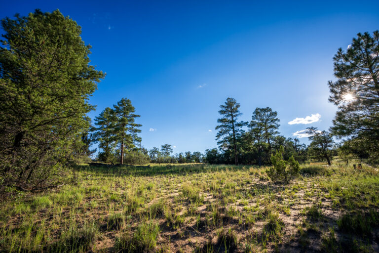
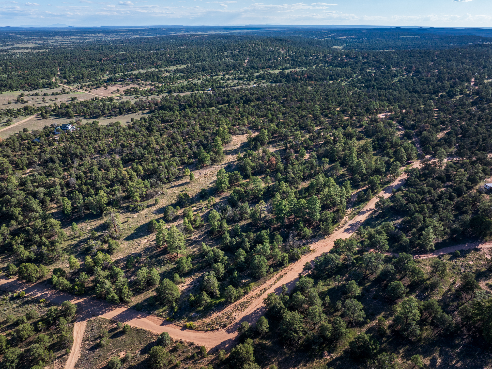
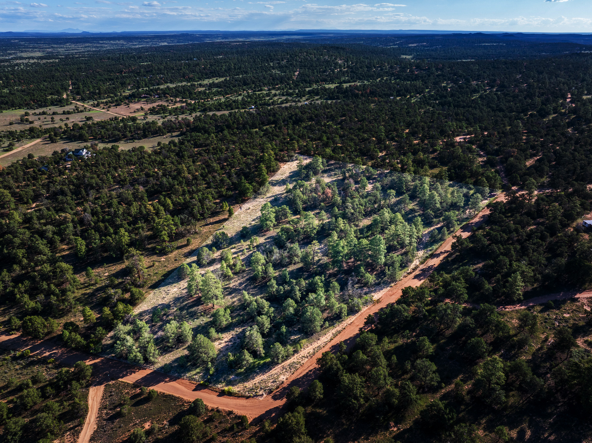
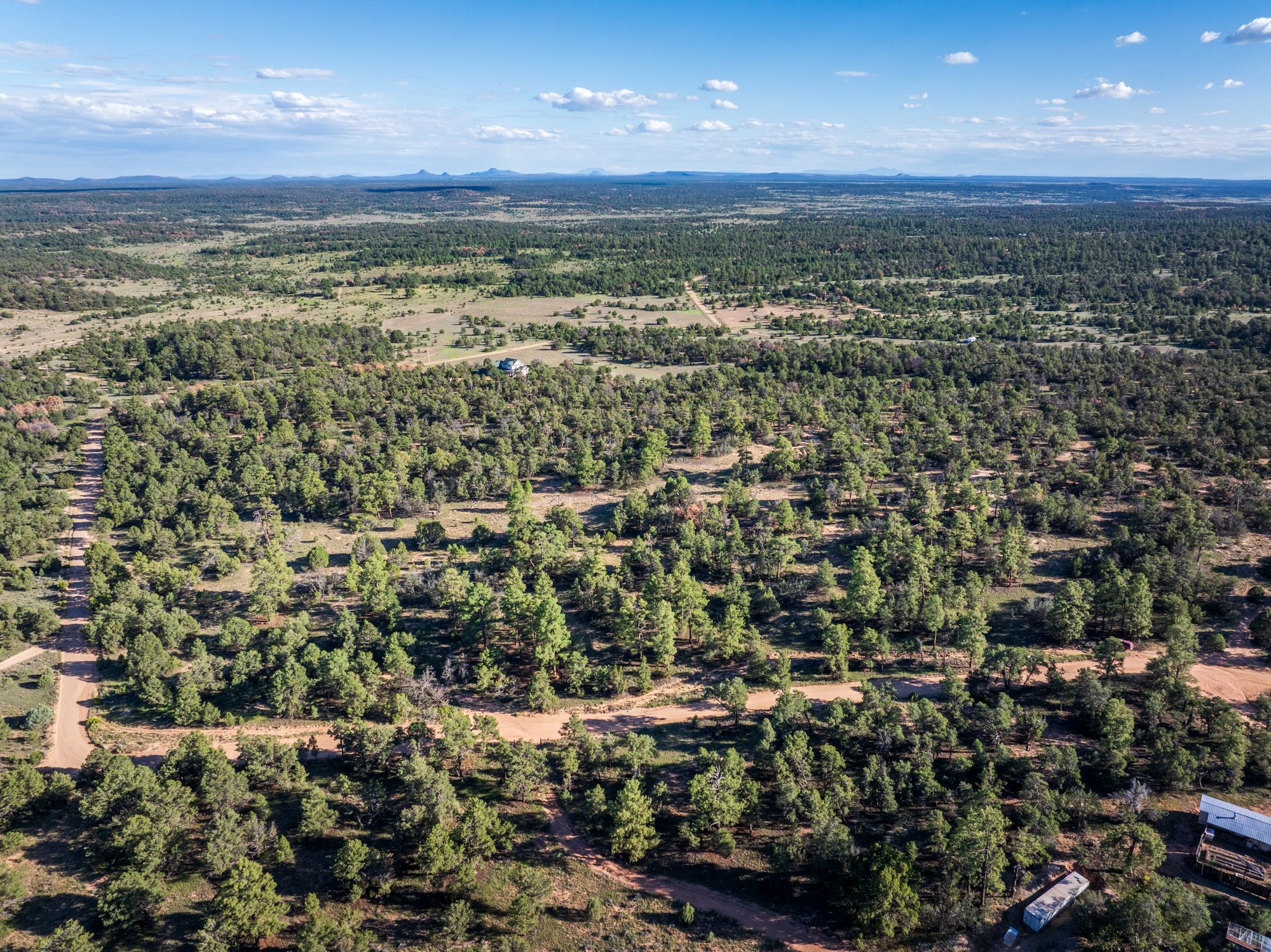
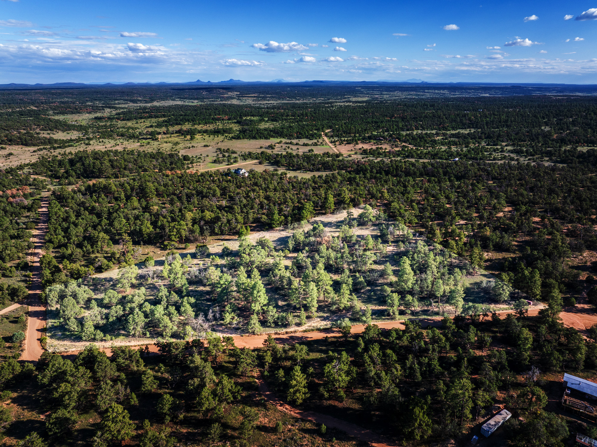
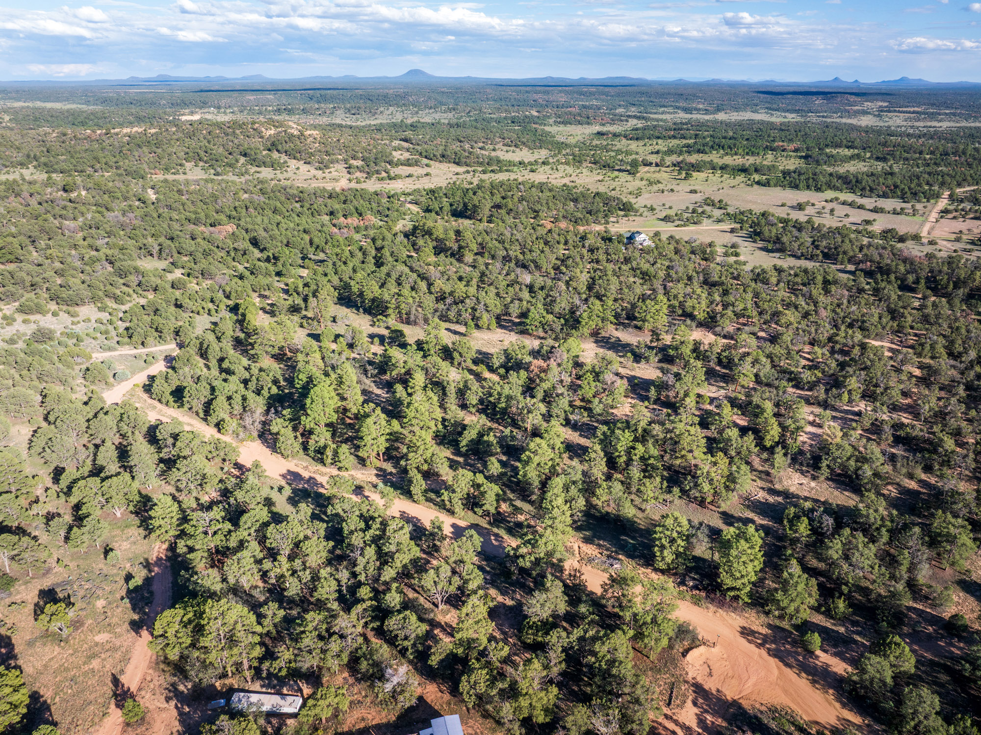
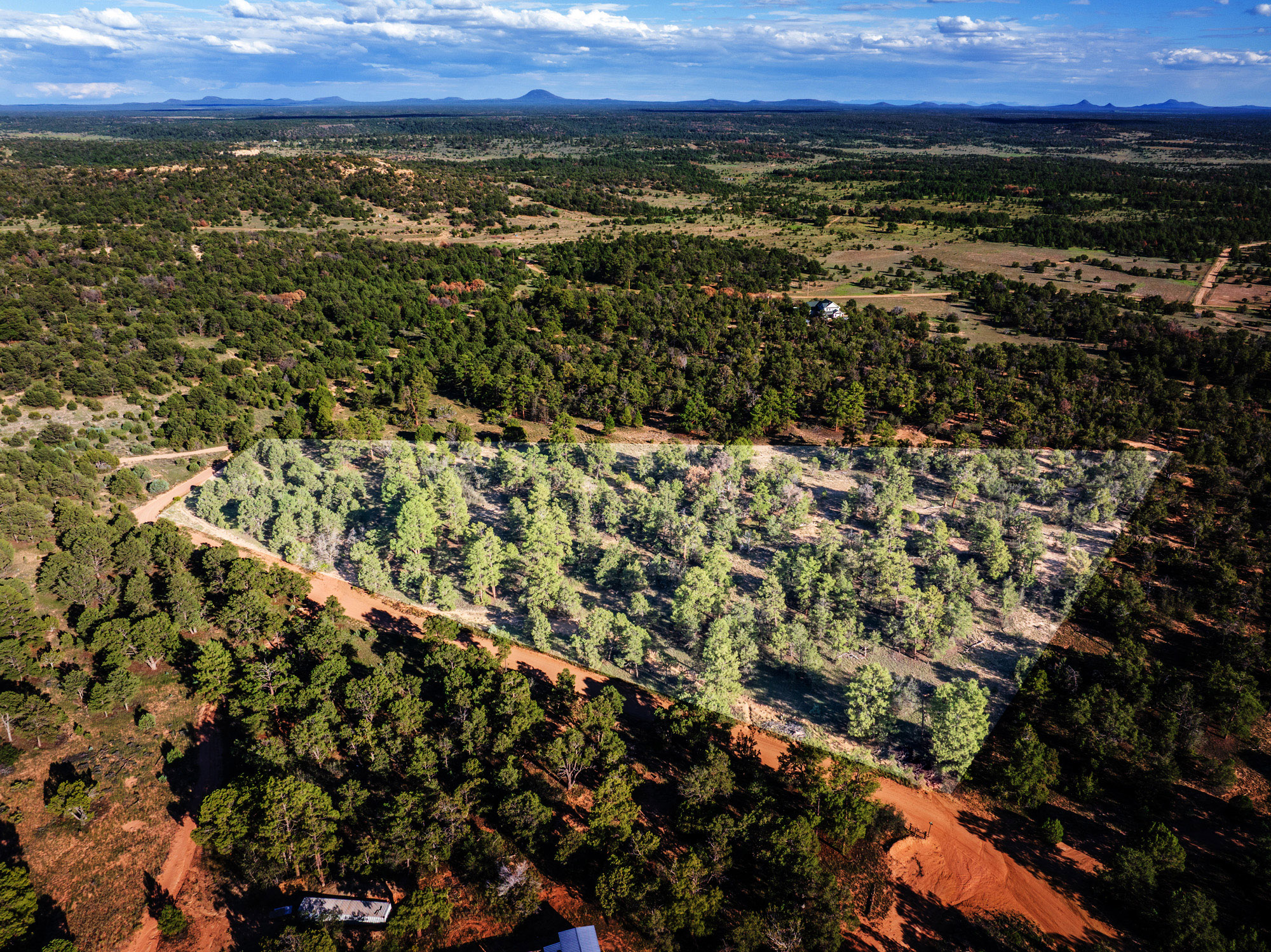
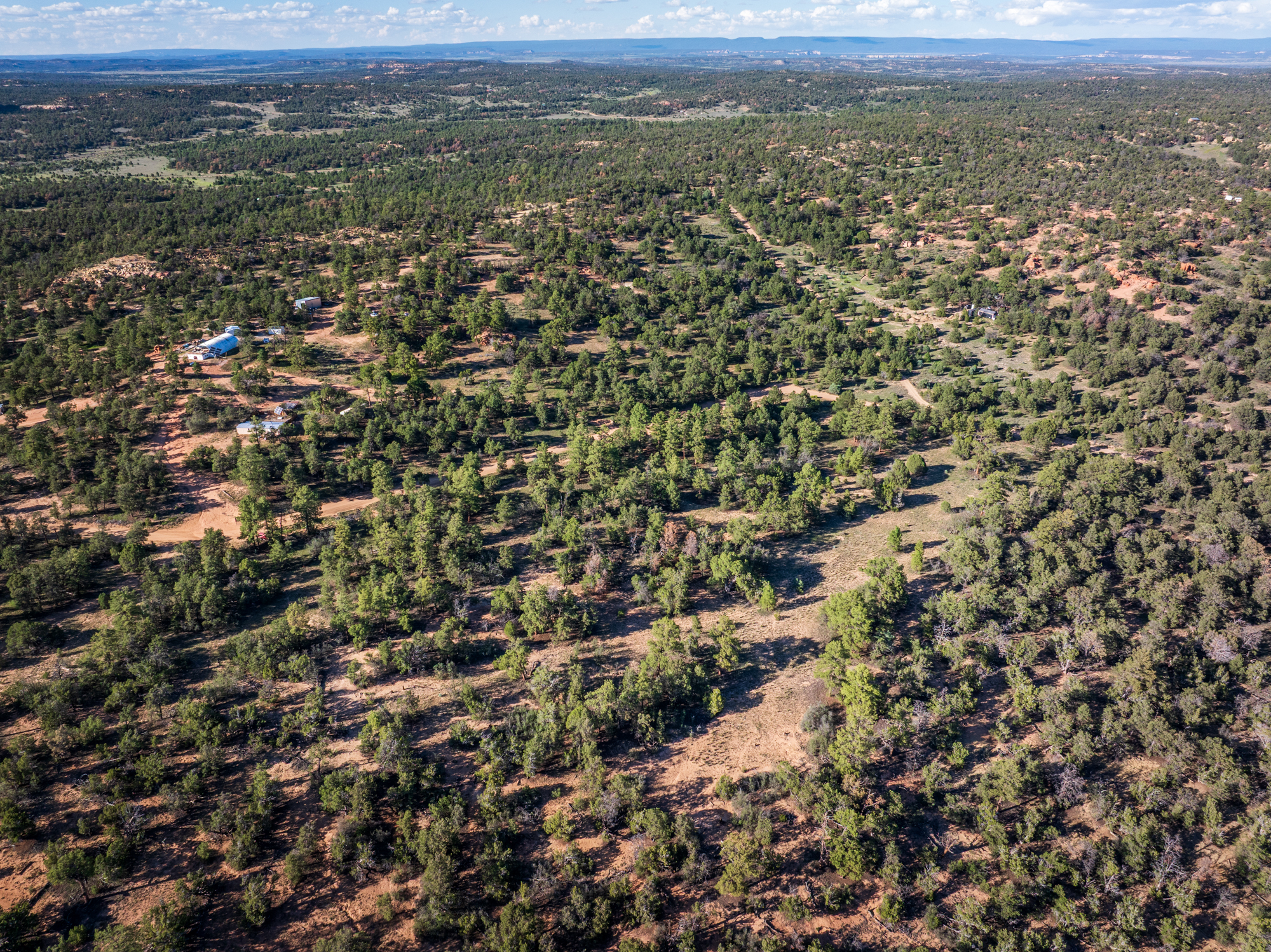
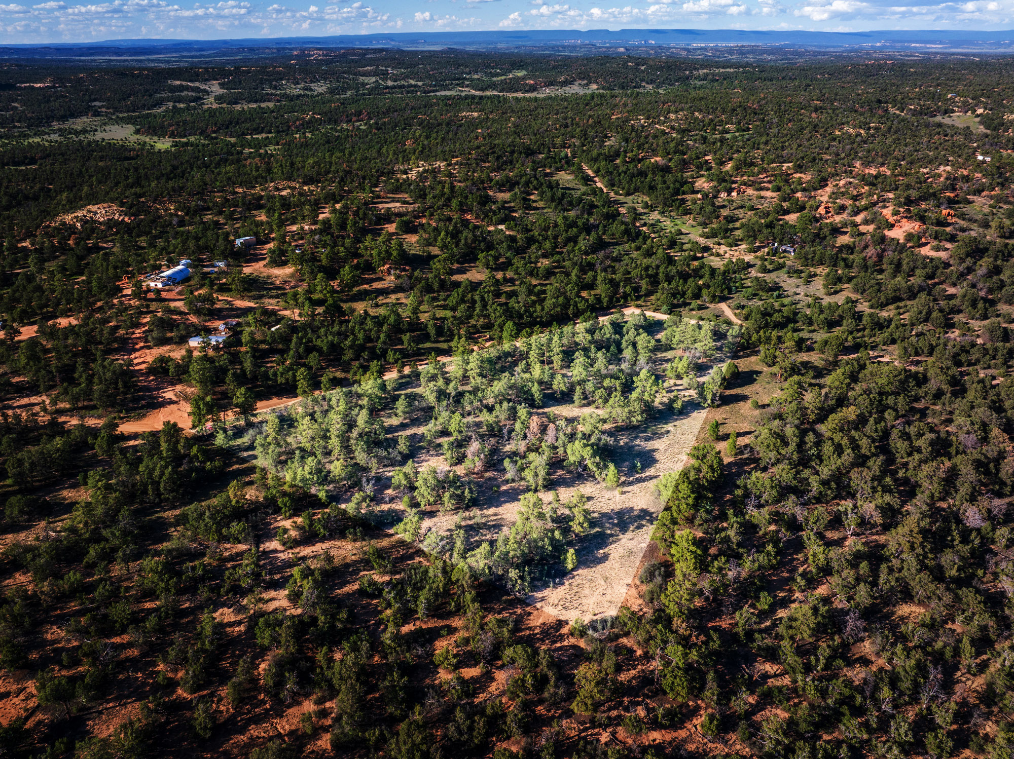
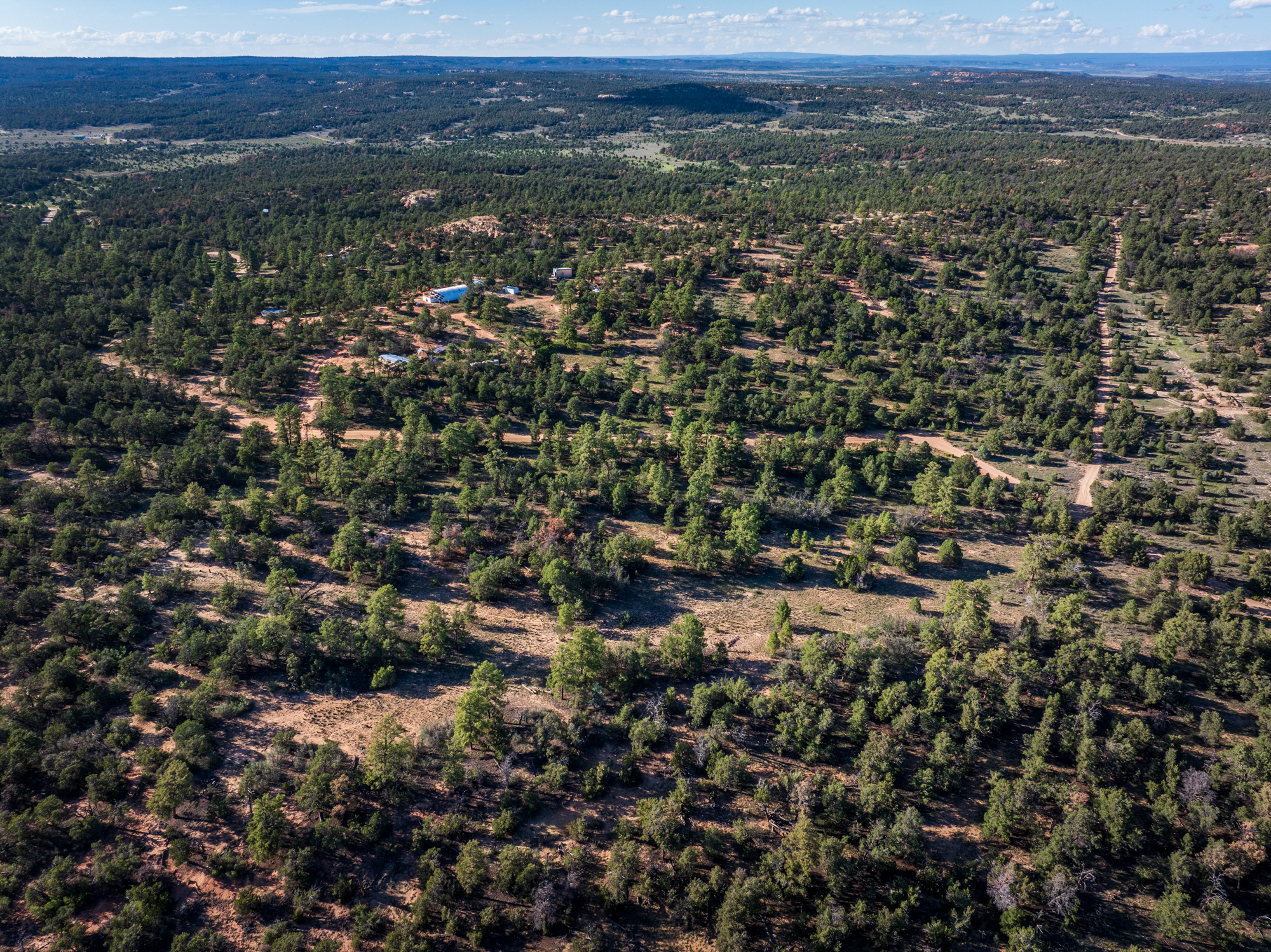
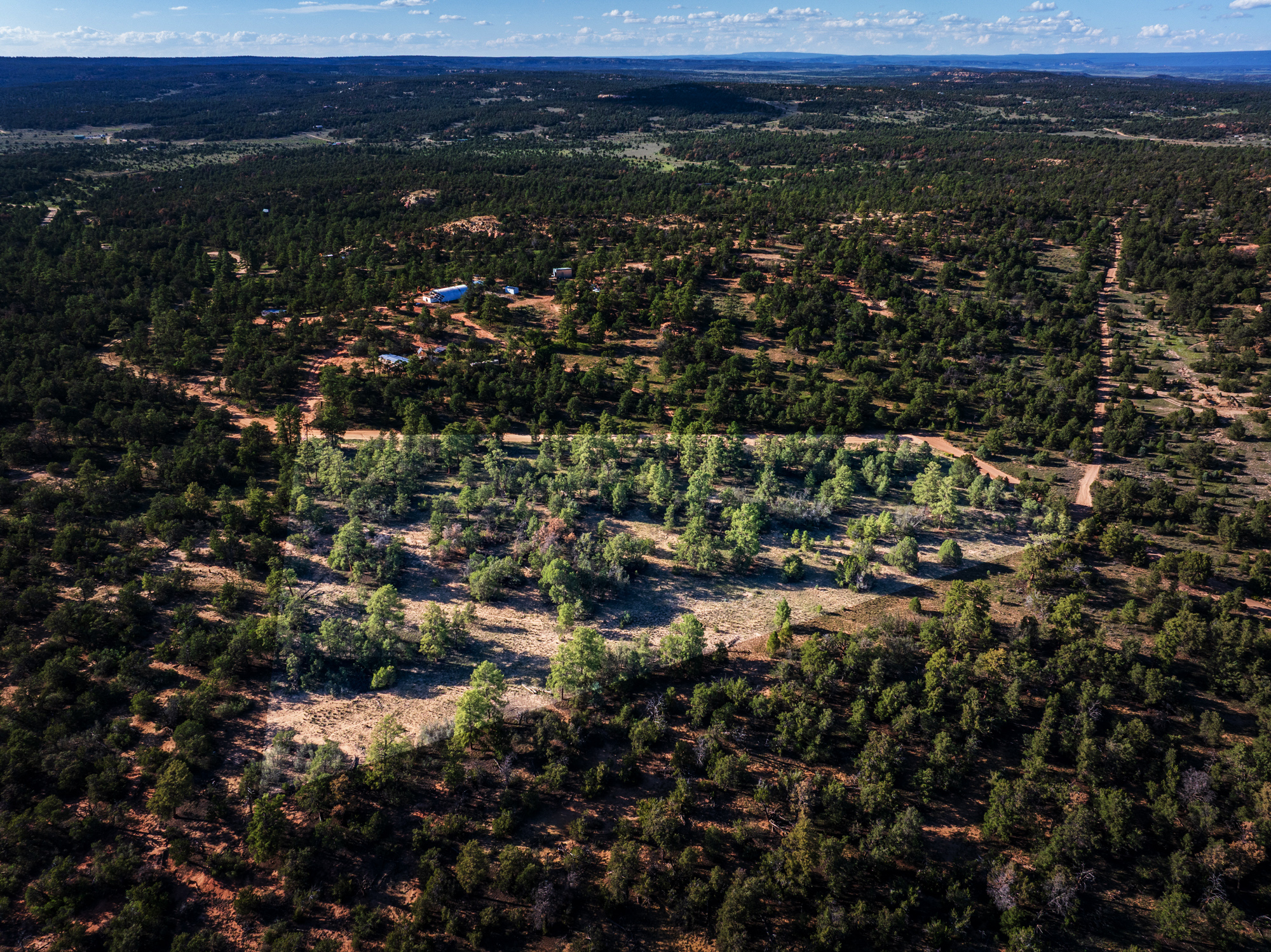
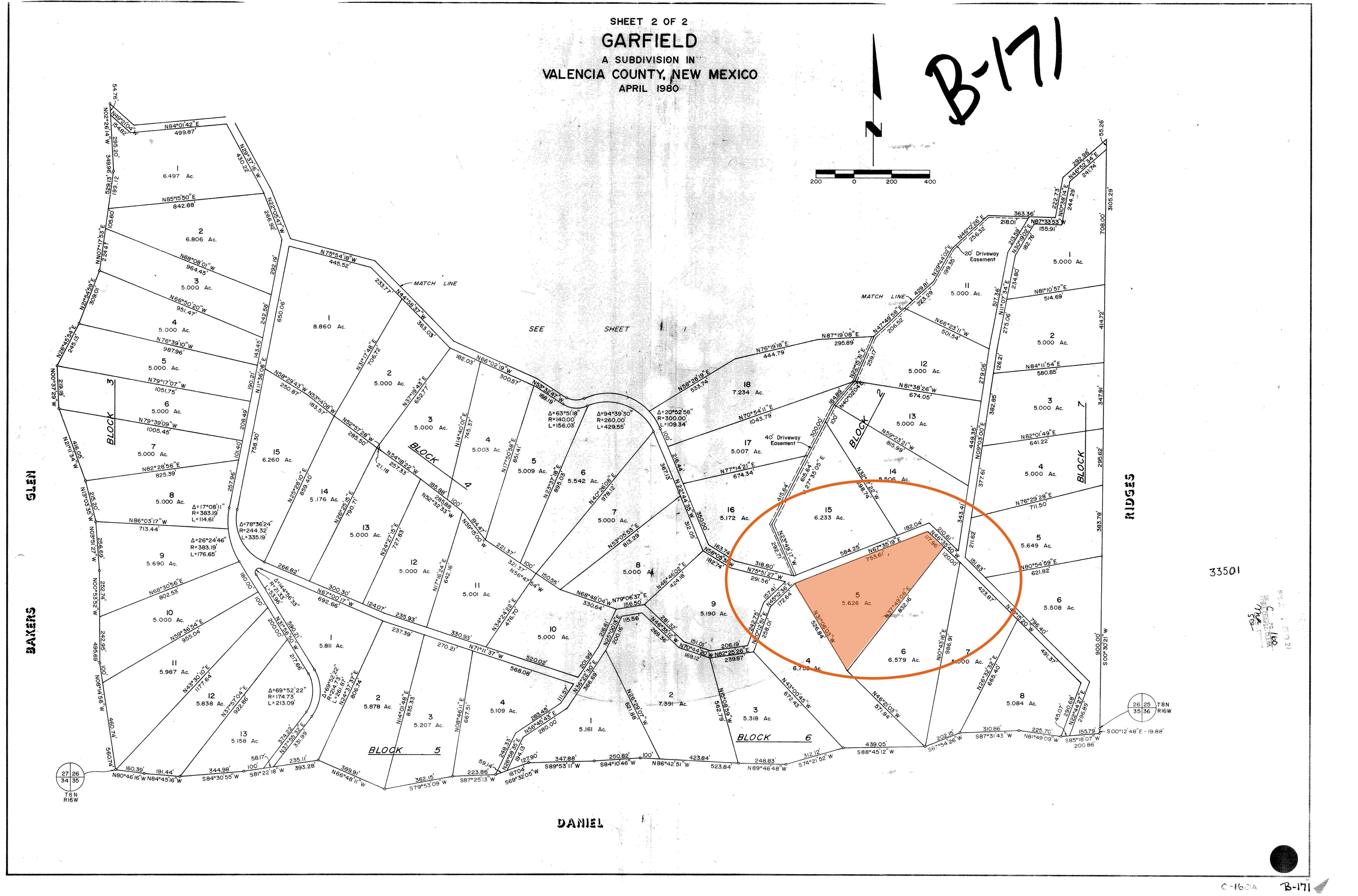
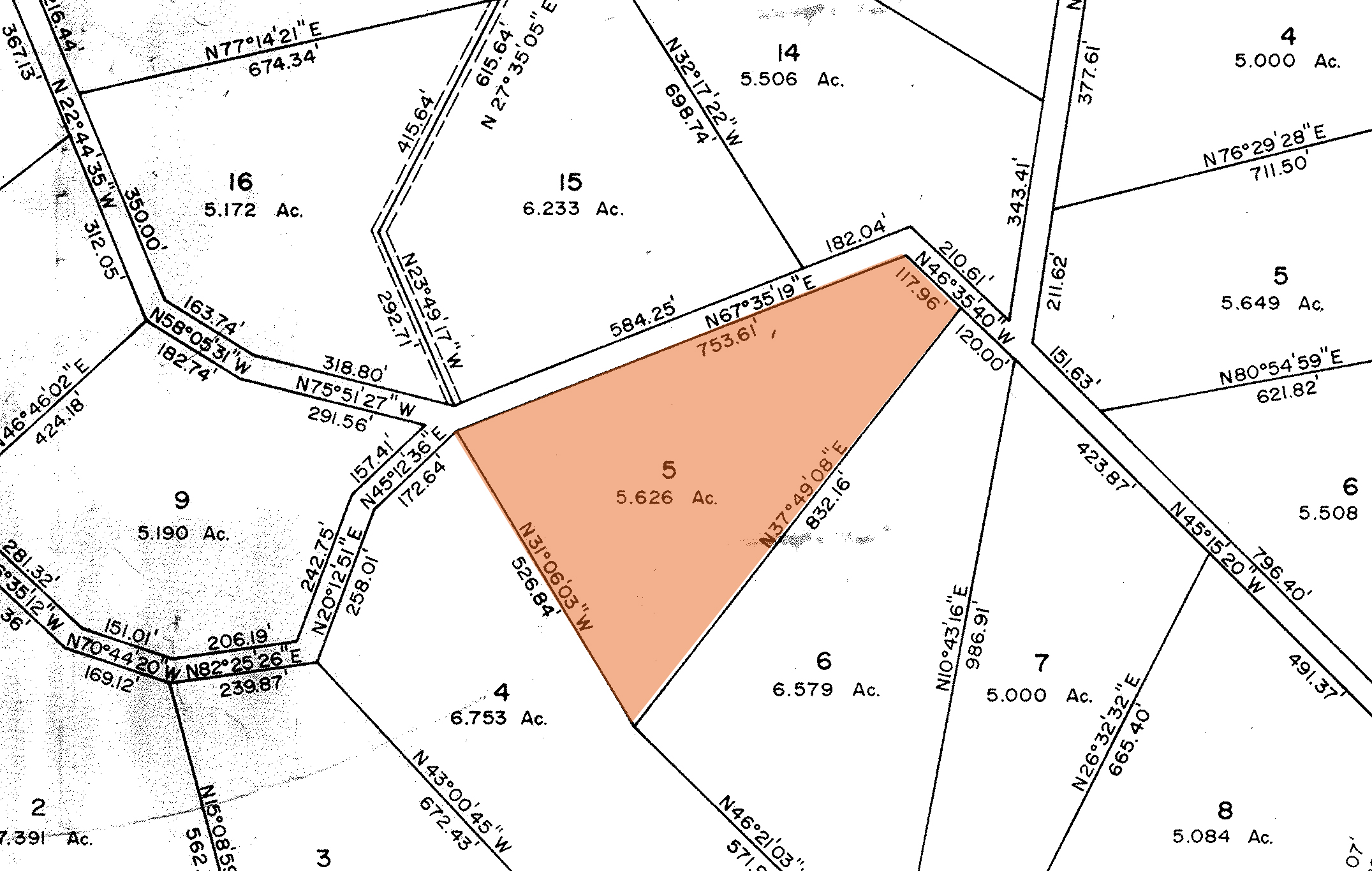
The subject property is a 5.63 acre lot located in the Garfield subdivision in Candy Kitchen, a forested rural area found halfway between Gallup and Grants and within easy driving distance of the Cibola National Forest.
LEGAL INFORMATION
When we speak of property we typically use an address — 123 Main Street for instance.
As most vacant land does not have a physical address, however, county governments will identify it in other ways, such as a “legal description”, a parcel number or a tax code. The information provided in the table above are the ways in which the various state and county agencies will identify this specific parcel of land. These signifiers are important to have when speaking with these agencies – whether they be the assessor, the zoning office, or even the local utilities – and may prove invaluable when initiating conversations about whatever research a buyer intends to do.
Whenever one exists or has been assigned to the land, the physical address will be included in this table.
ACCESS & UTILITIES
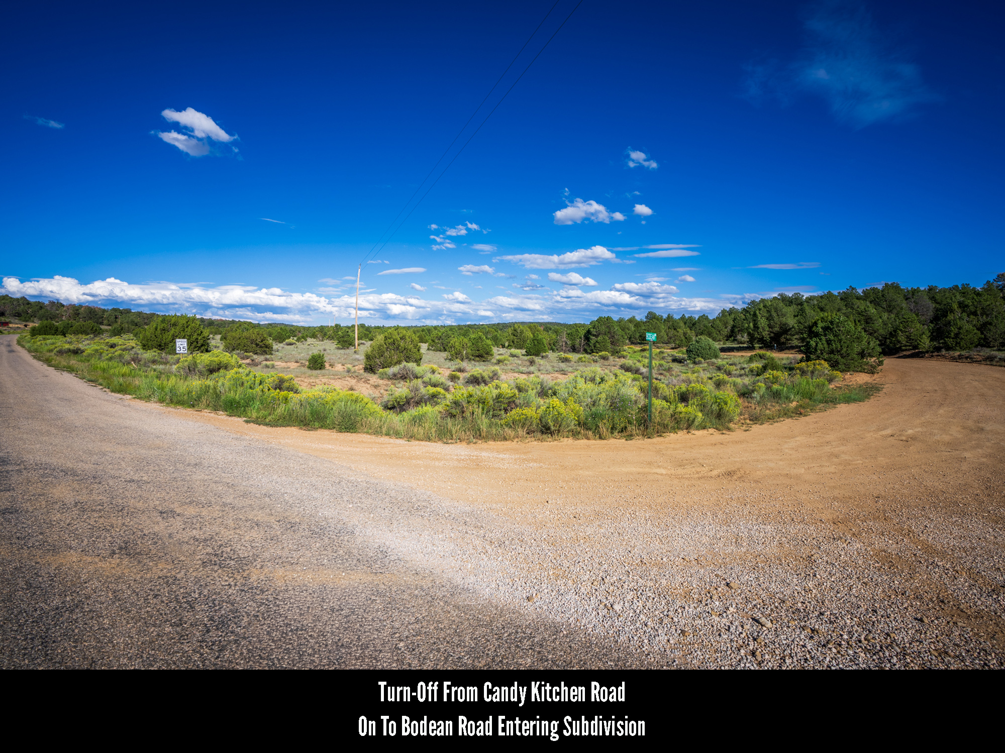
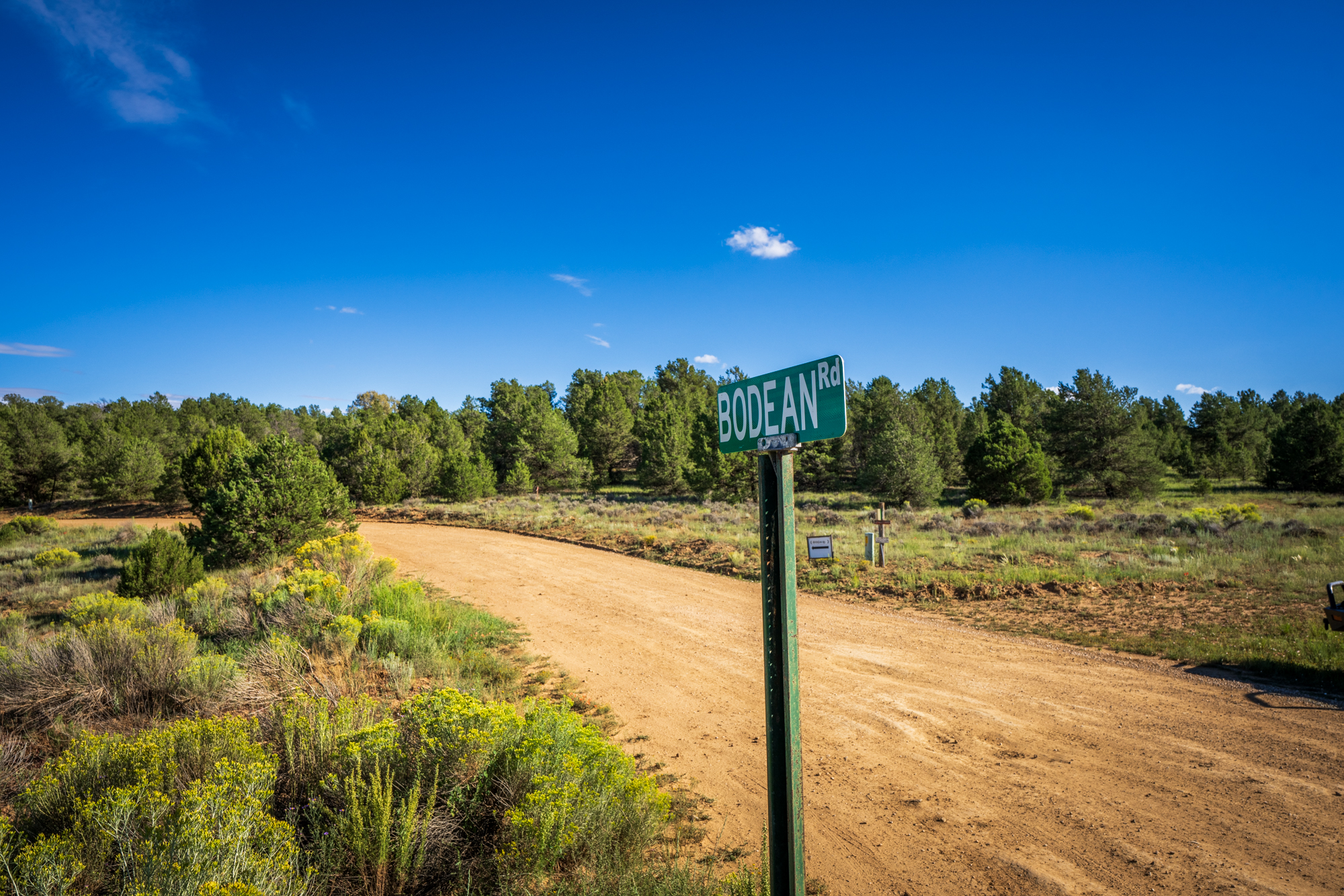
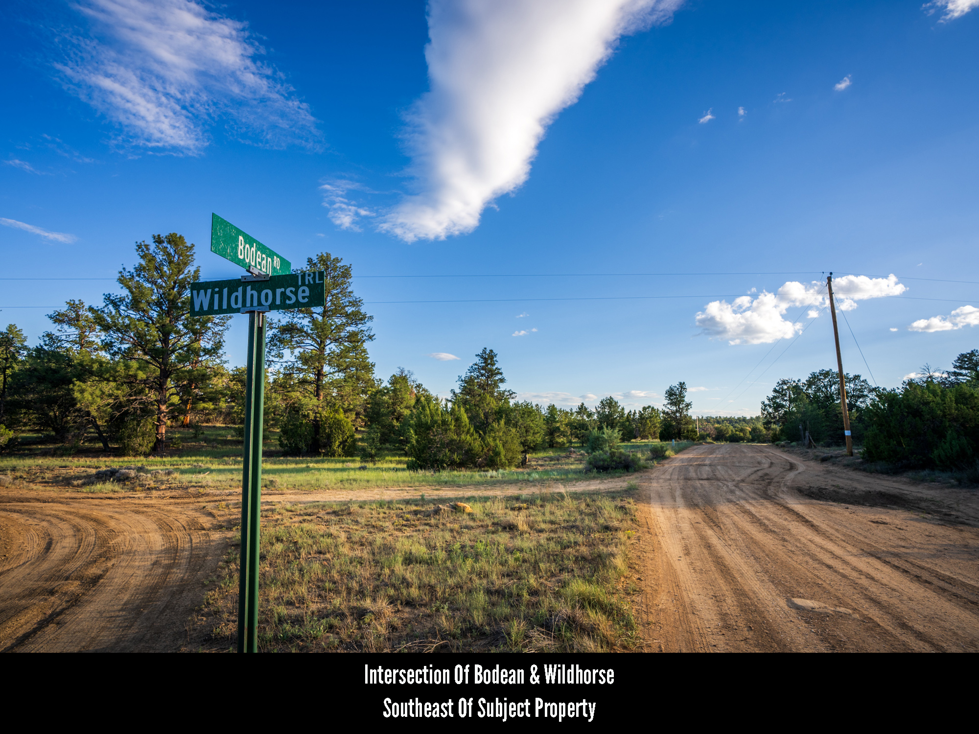
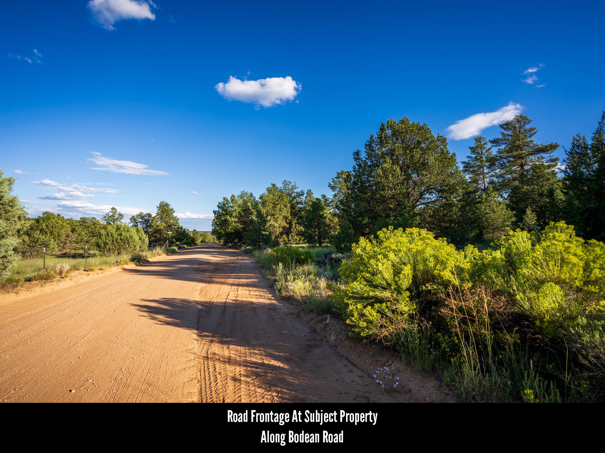
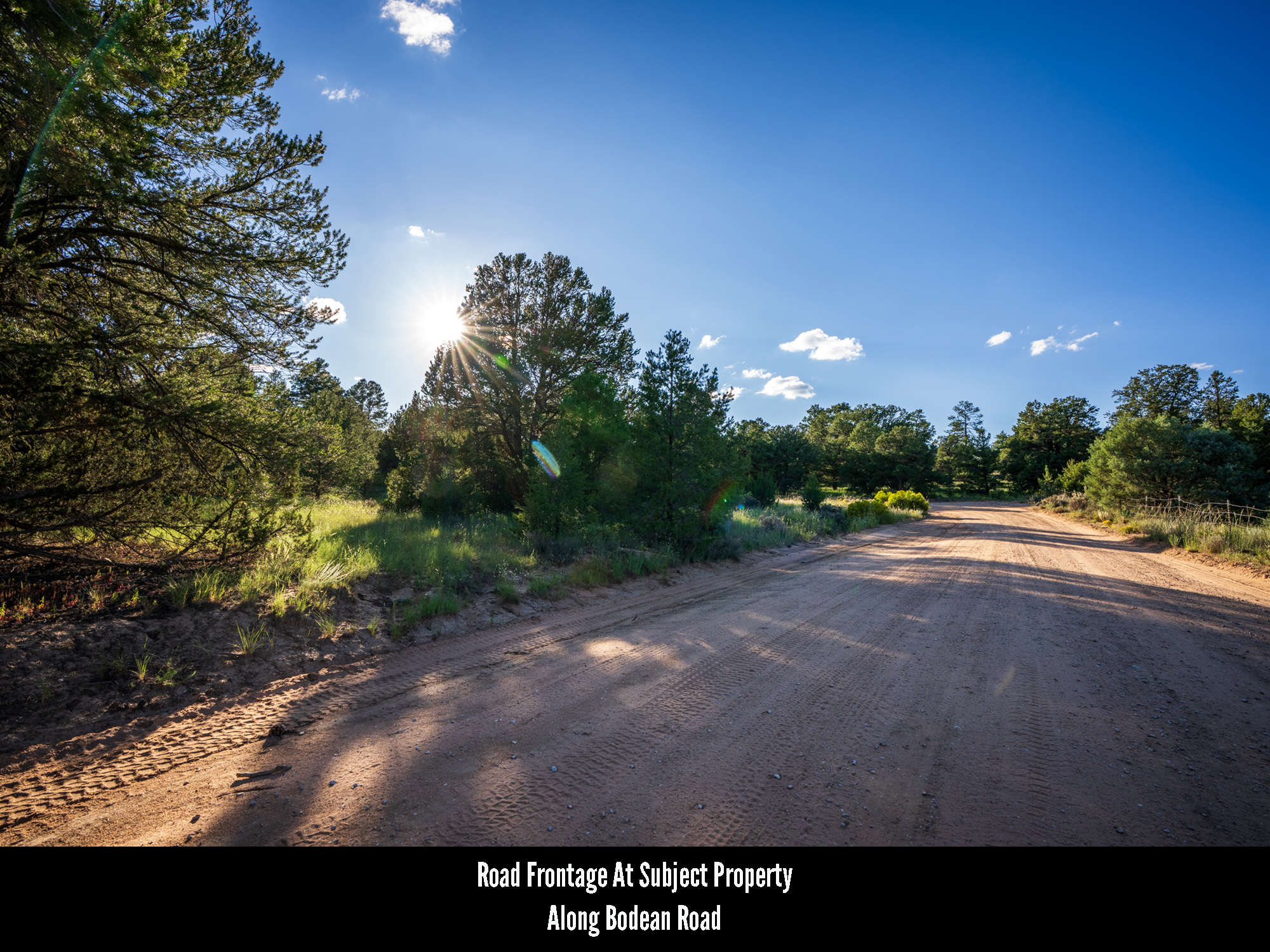
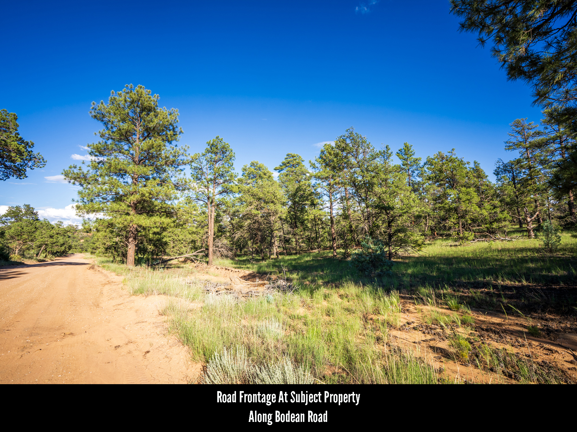
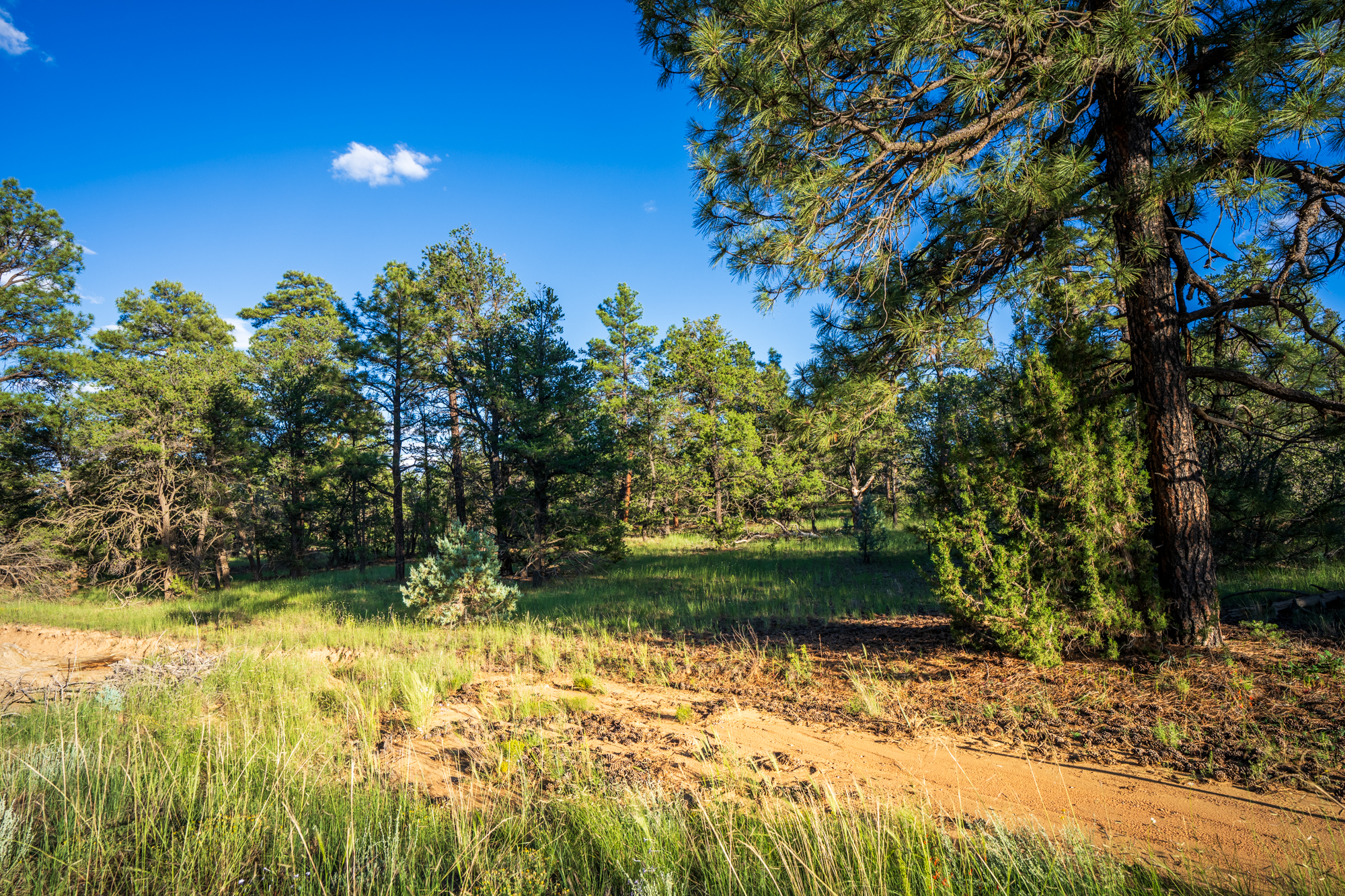
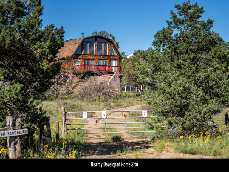
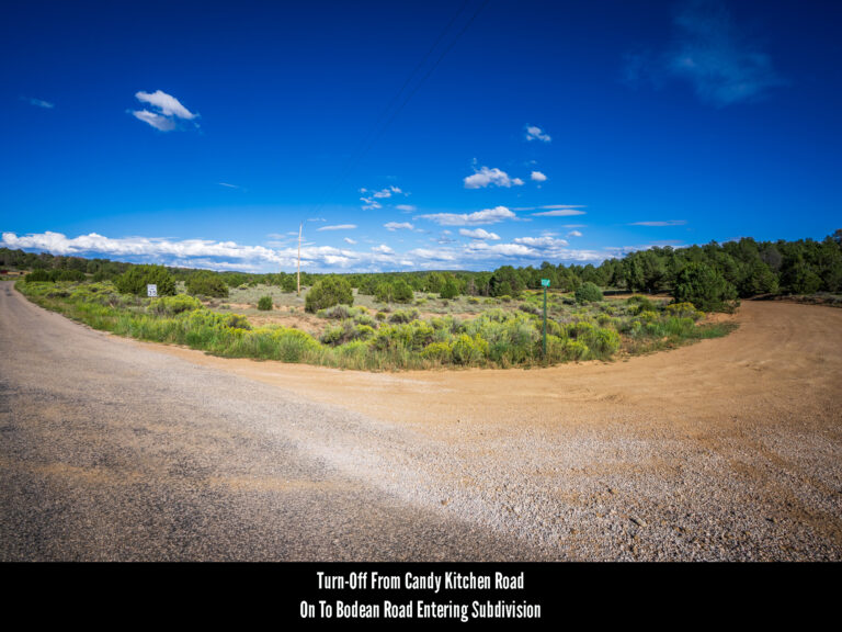
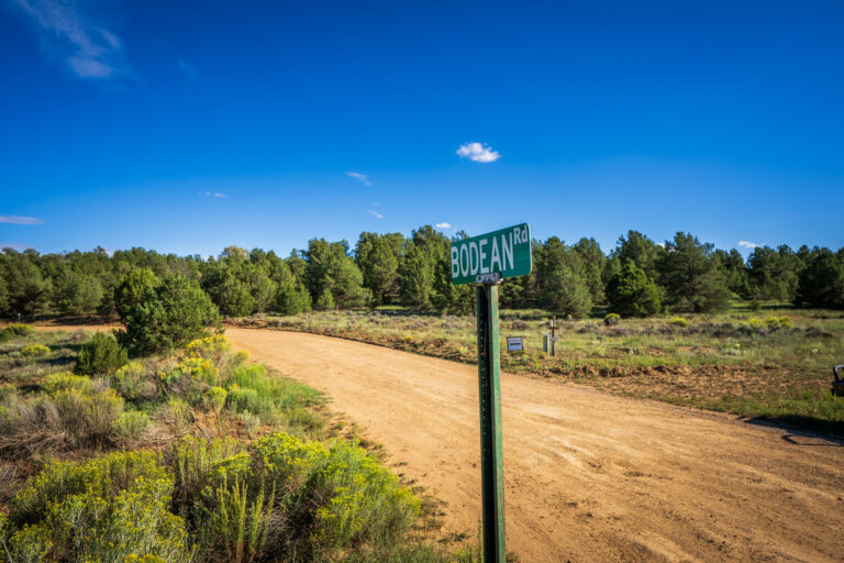
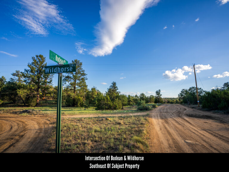
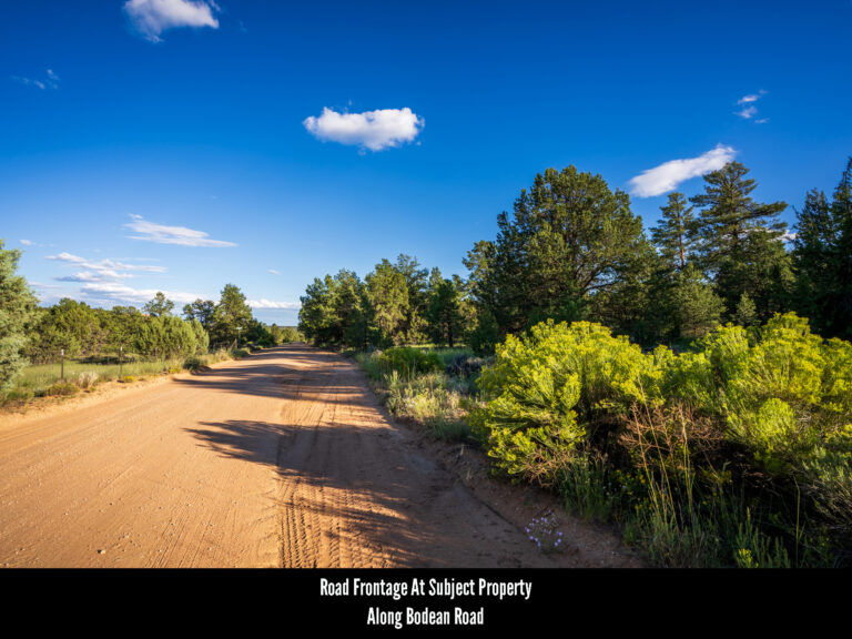
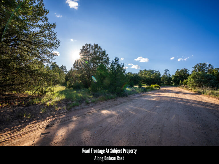
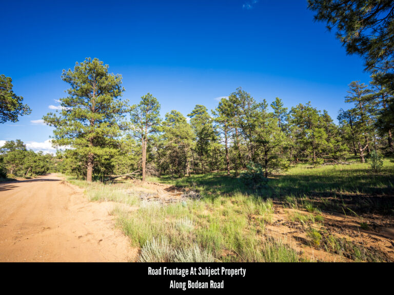
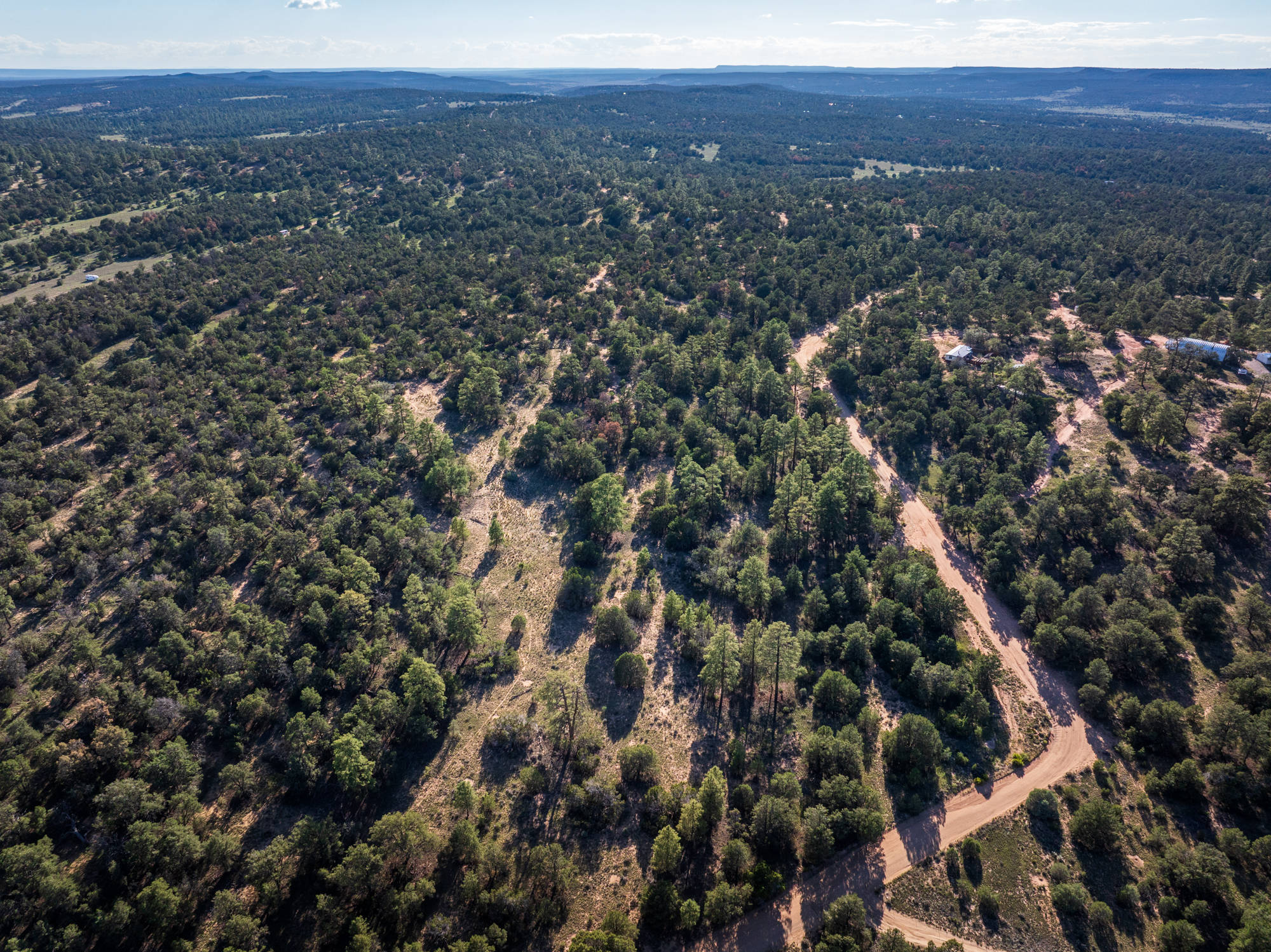
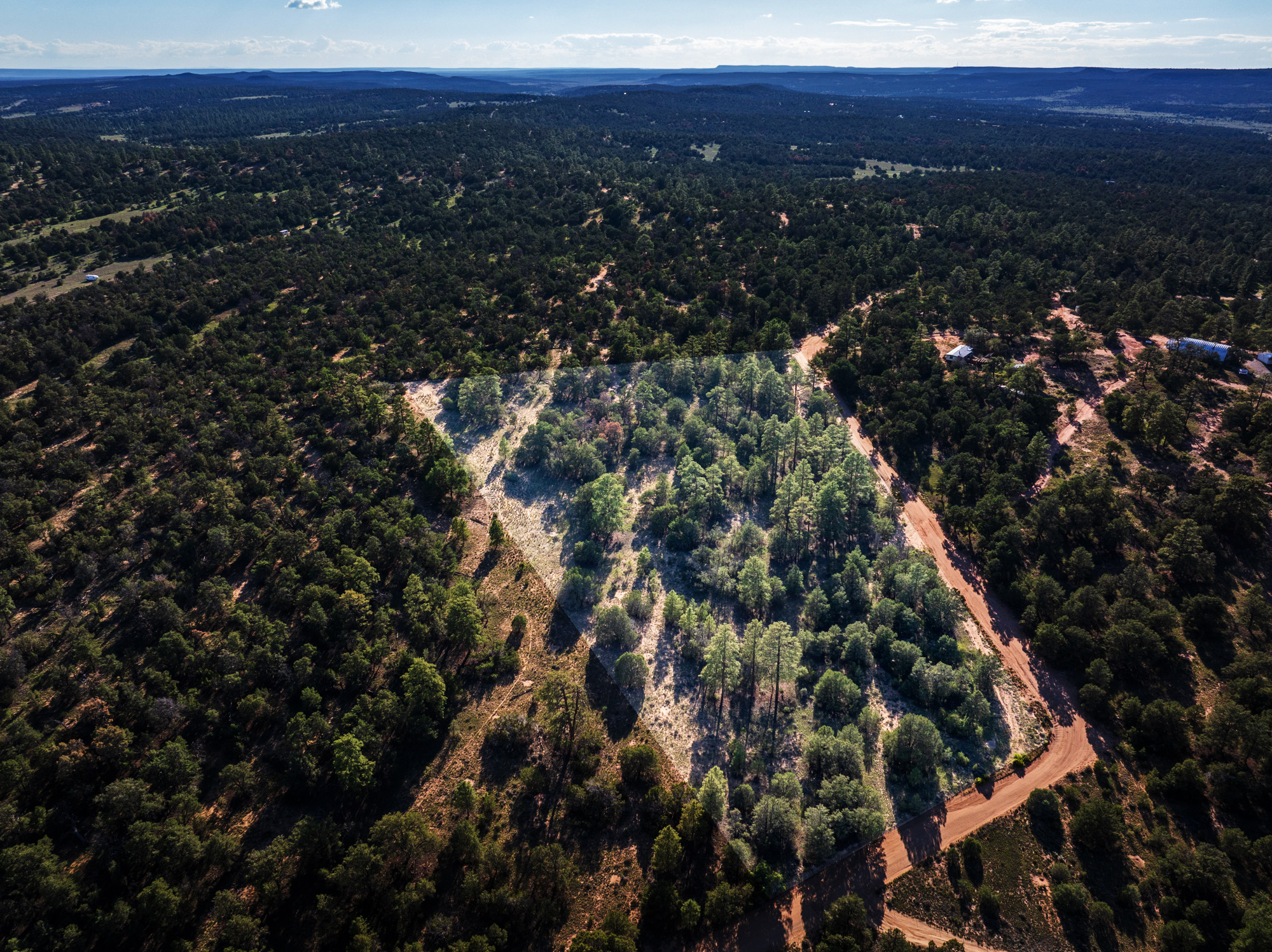
Roads & Access: The subject property is a corner lot located roughly 1.2 miles south of Candy Kitchen Road and is accessed along Bodean Road. Bodean runs from Candy Kitchen Road directly to the subject property and is, for the length of that drive, a well-maintained dirt road which can be navigated by any vehicle type.
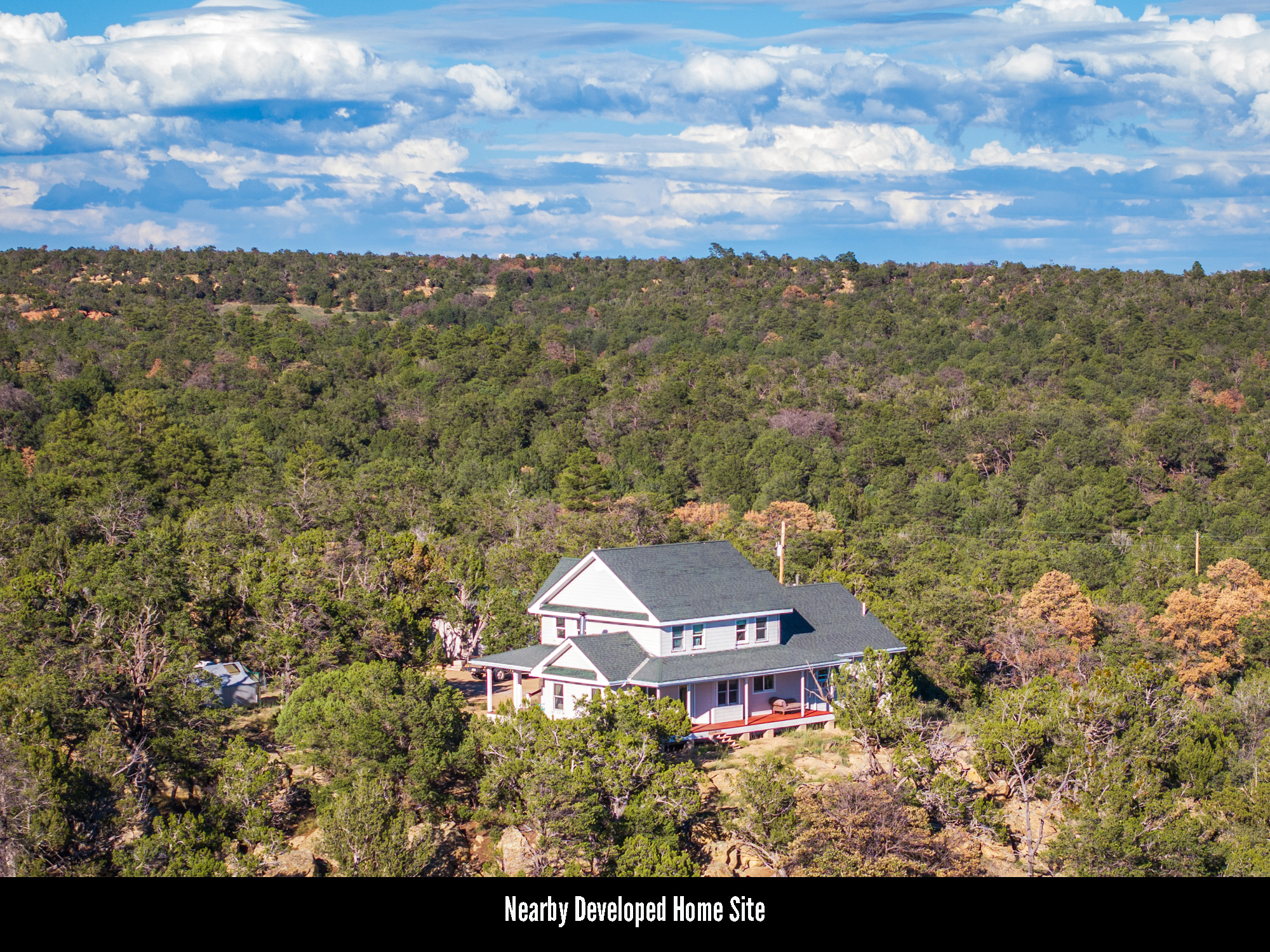
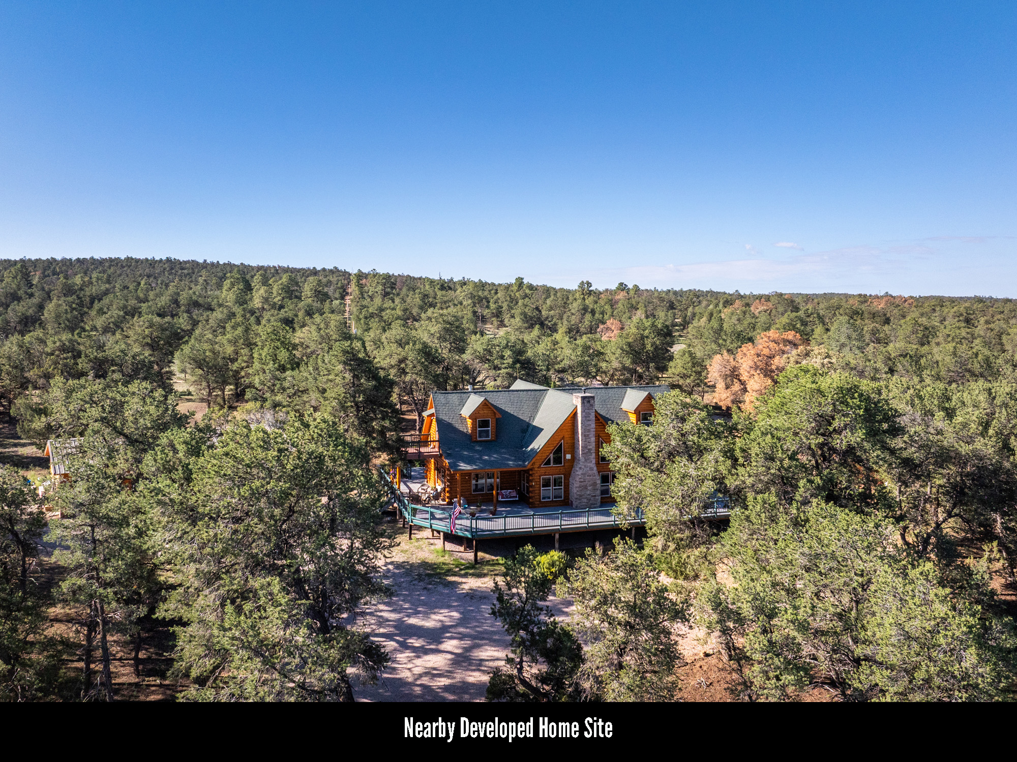
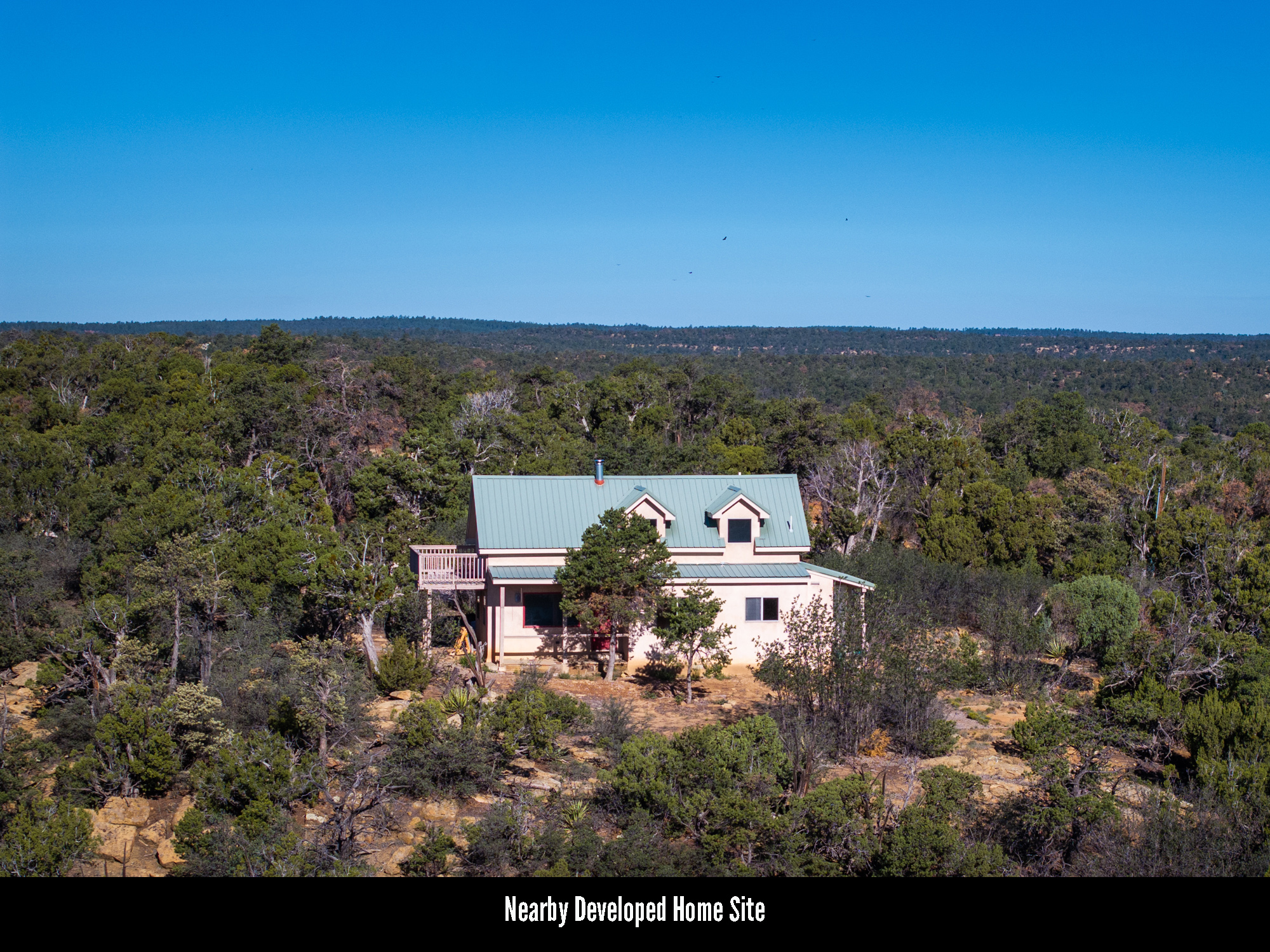
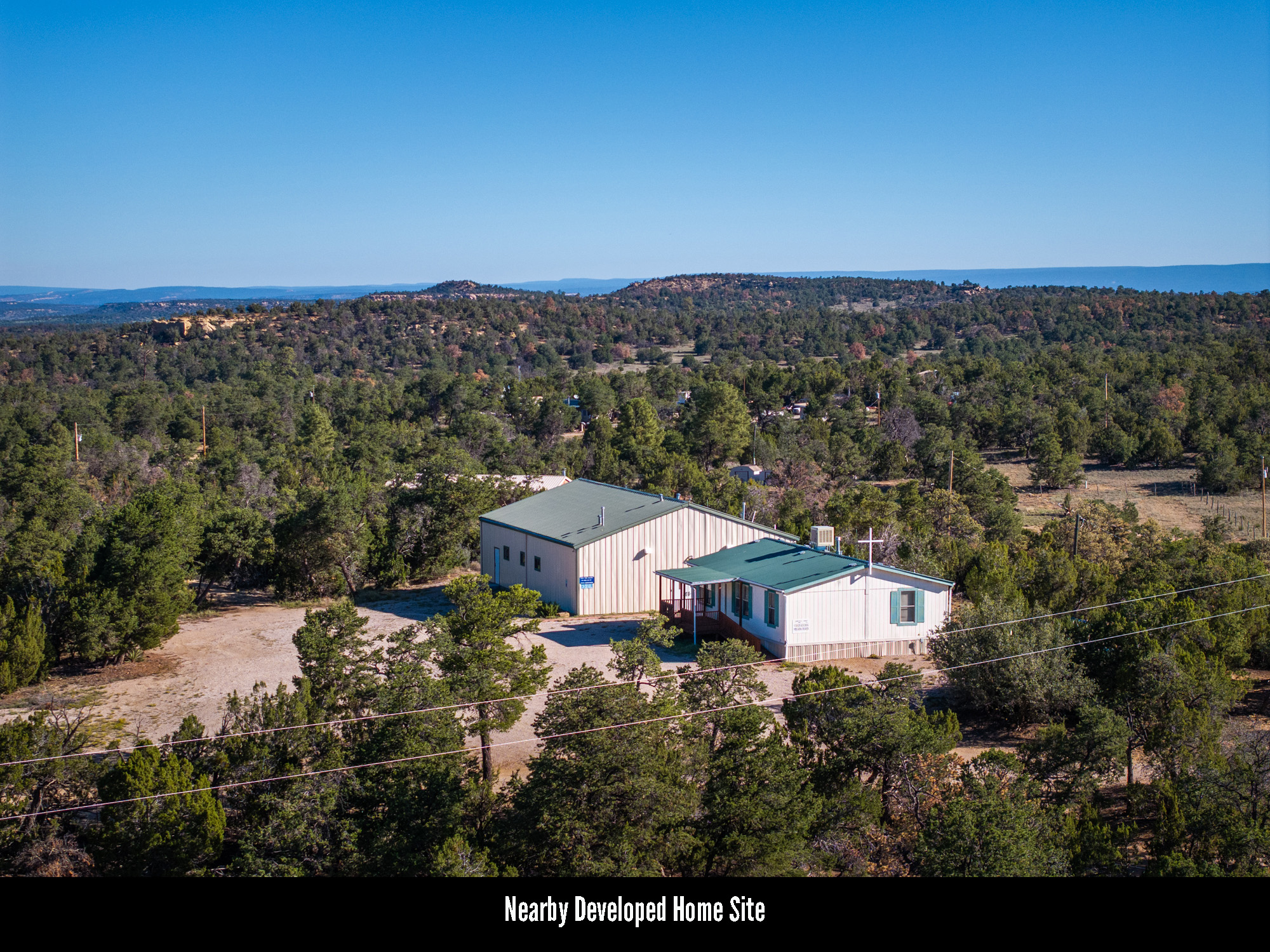
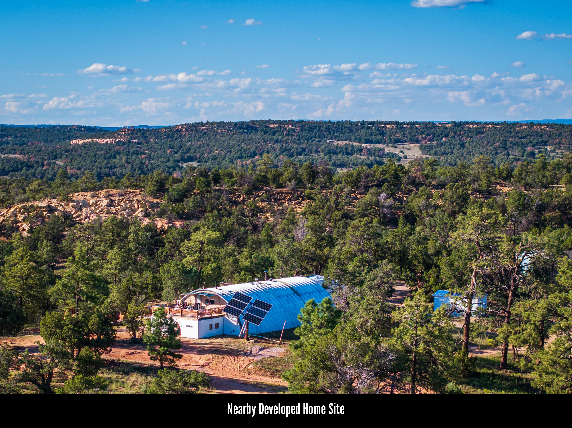
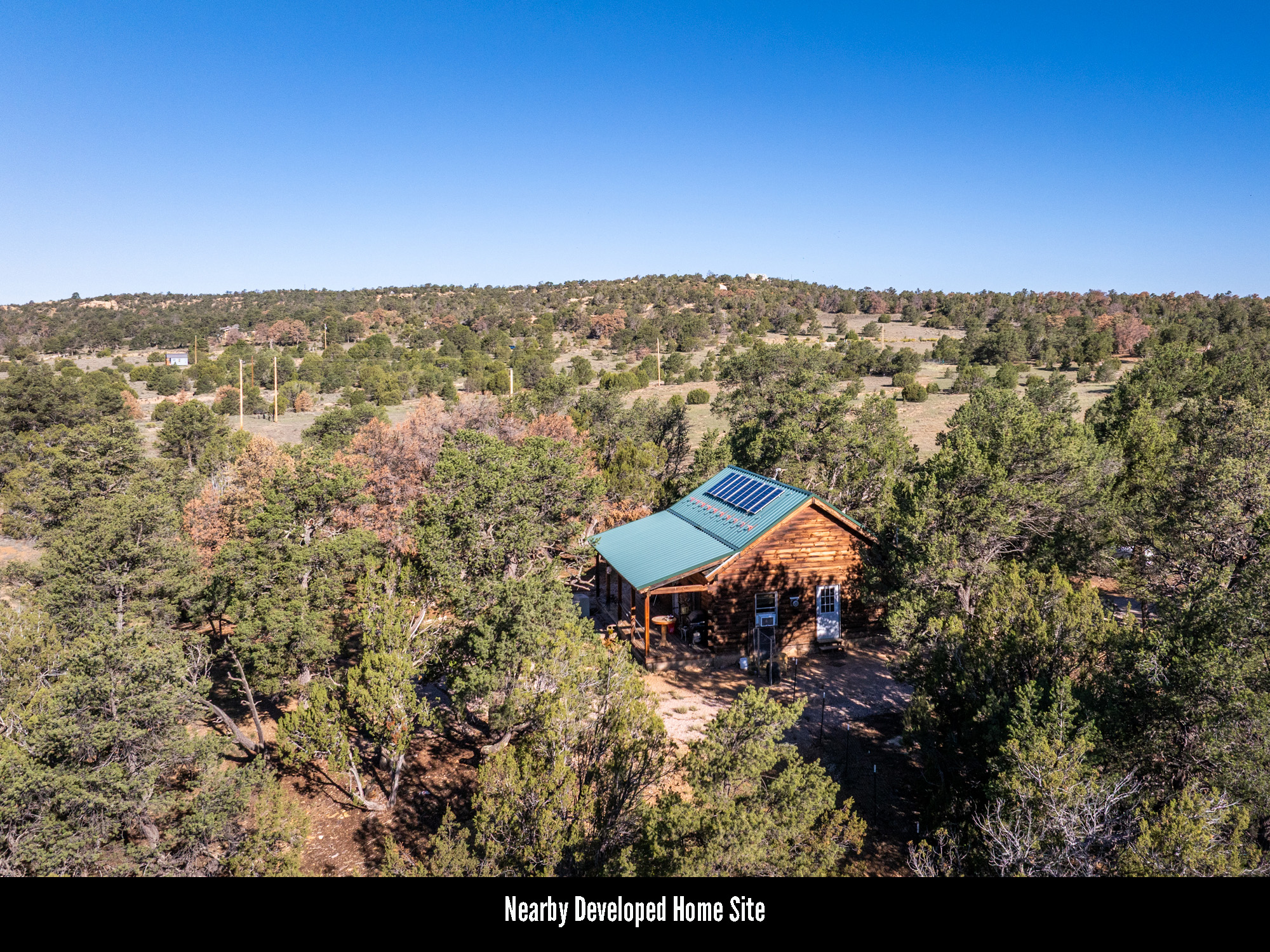
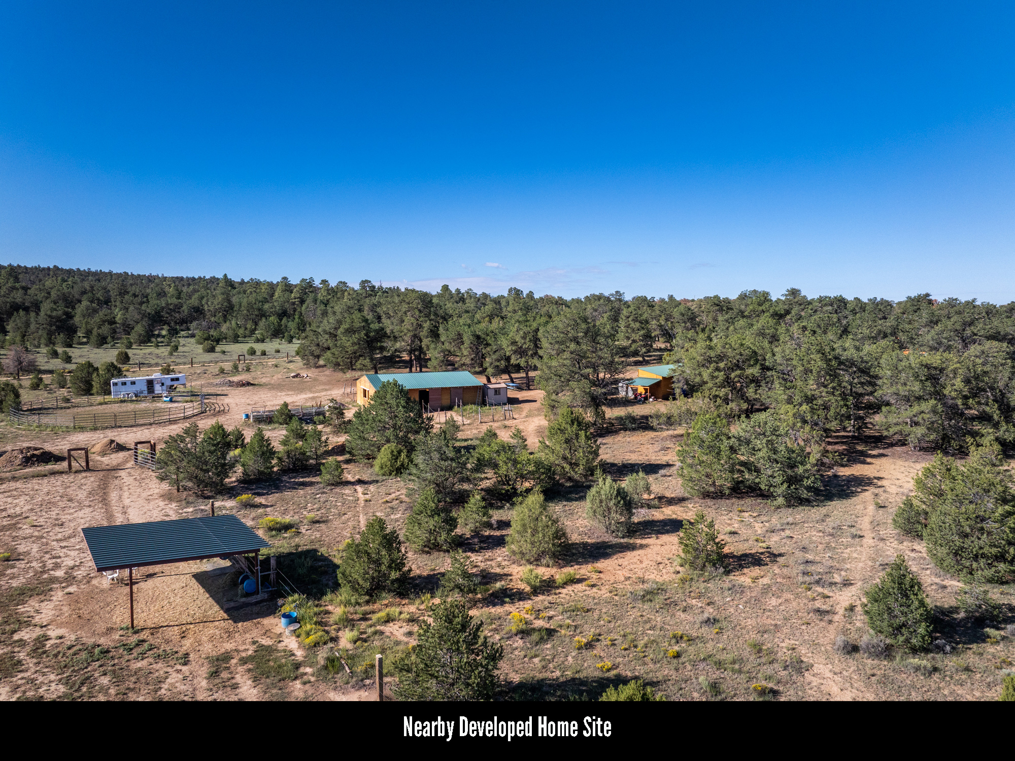
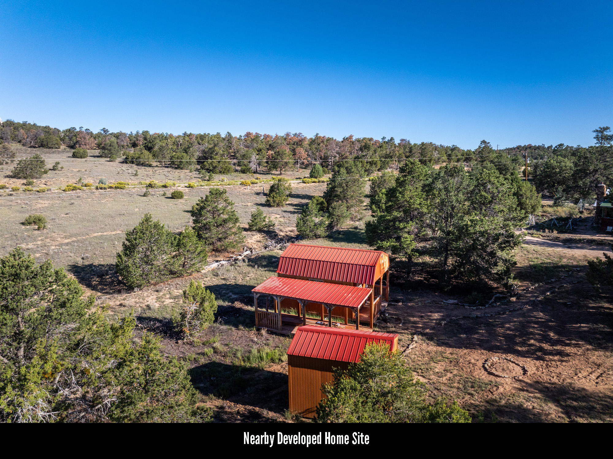
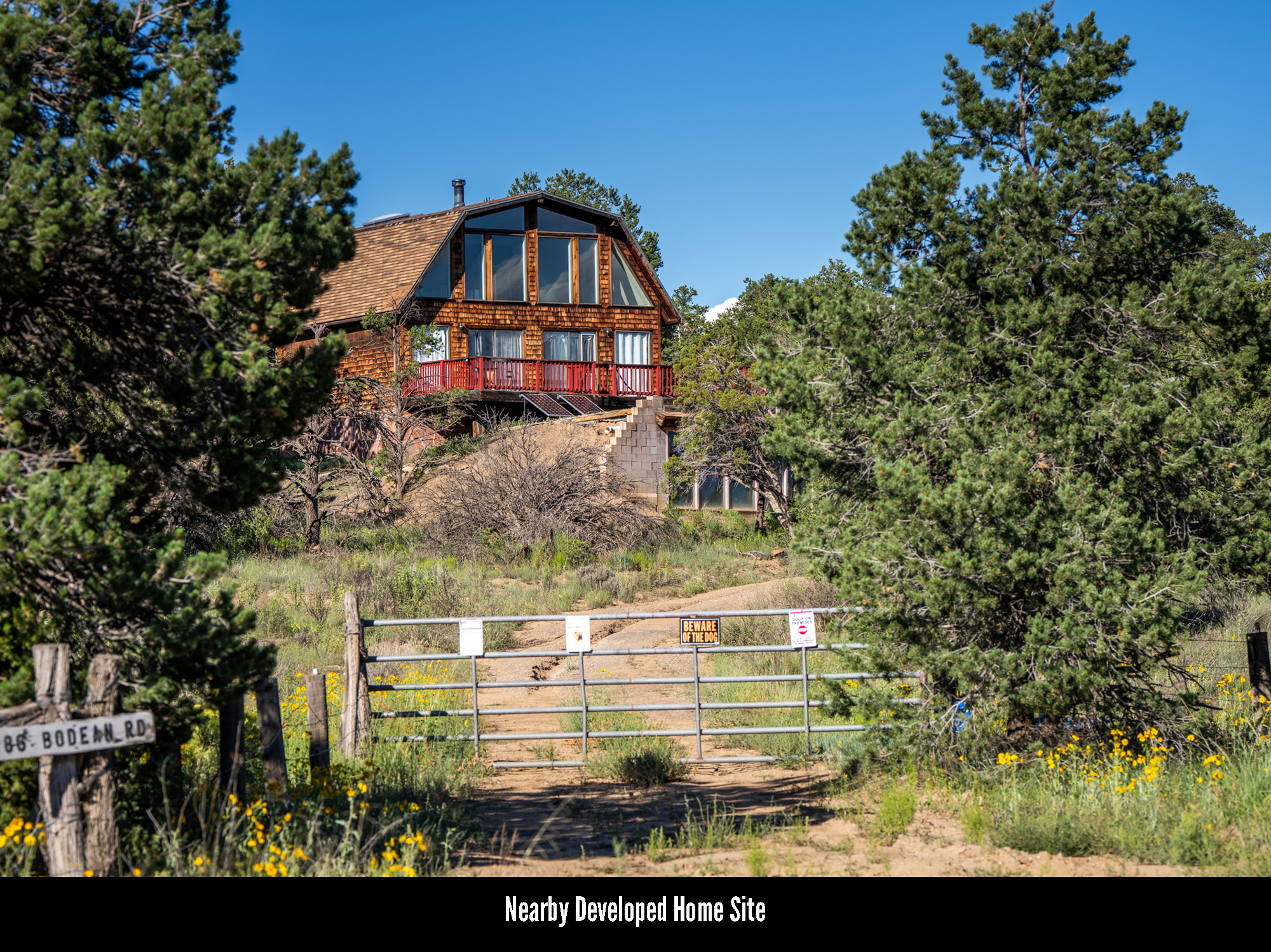
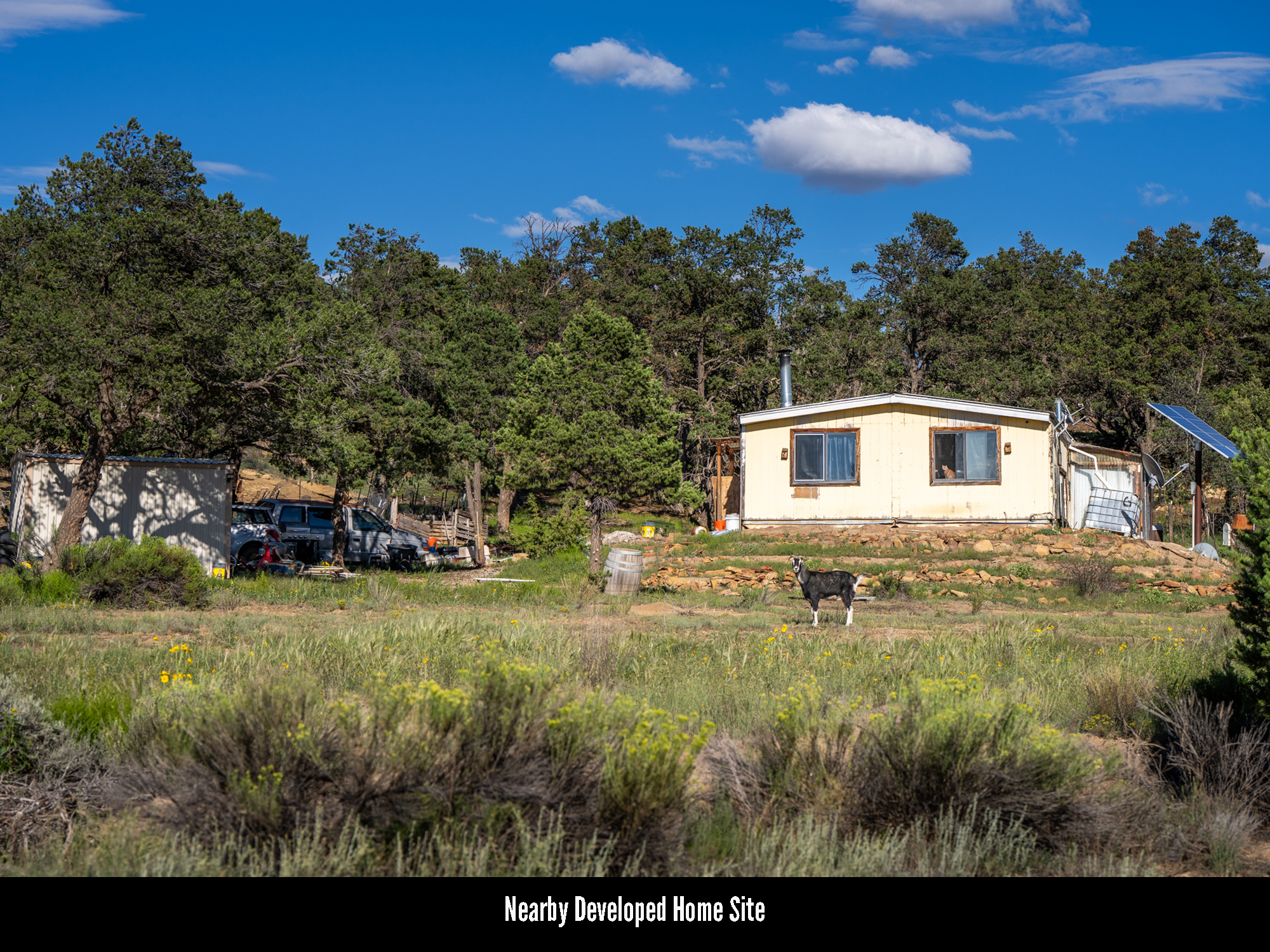
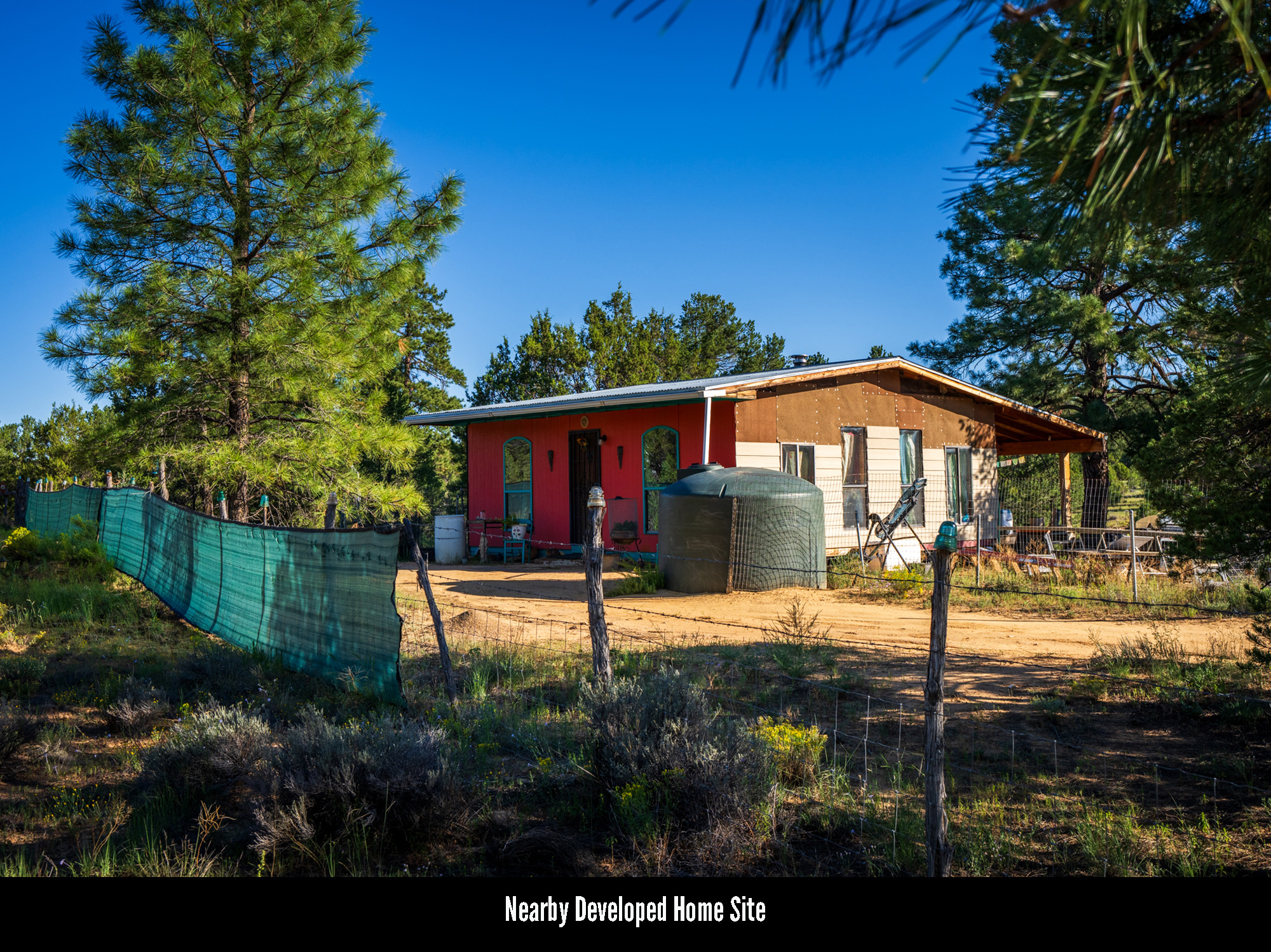
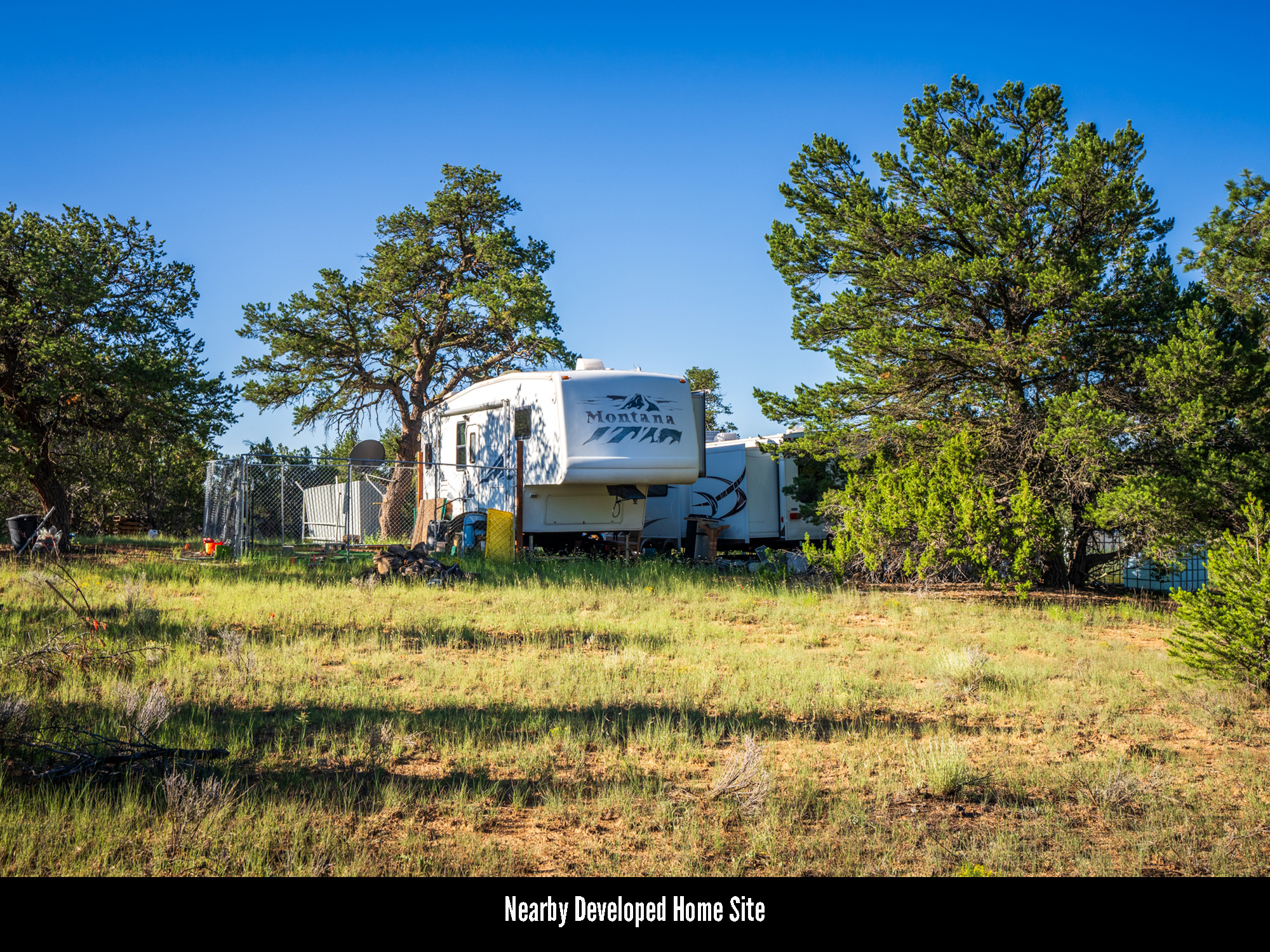
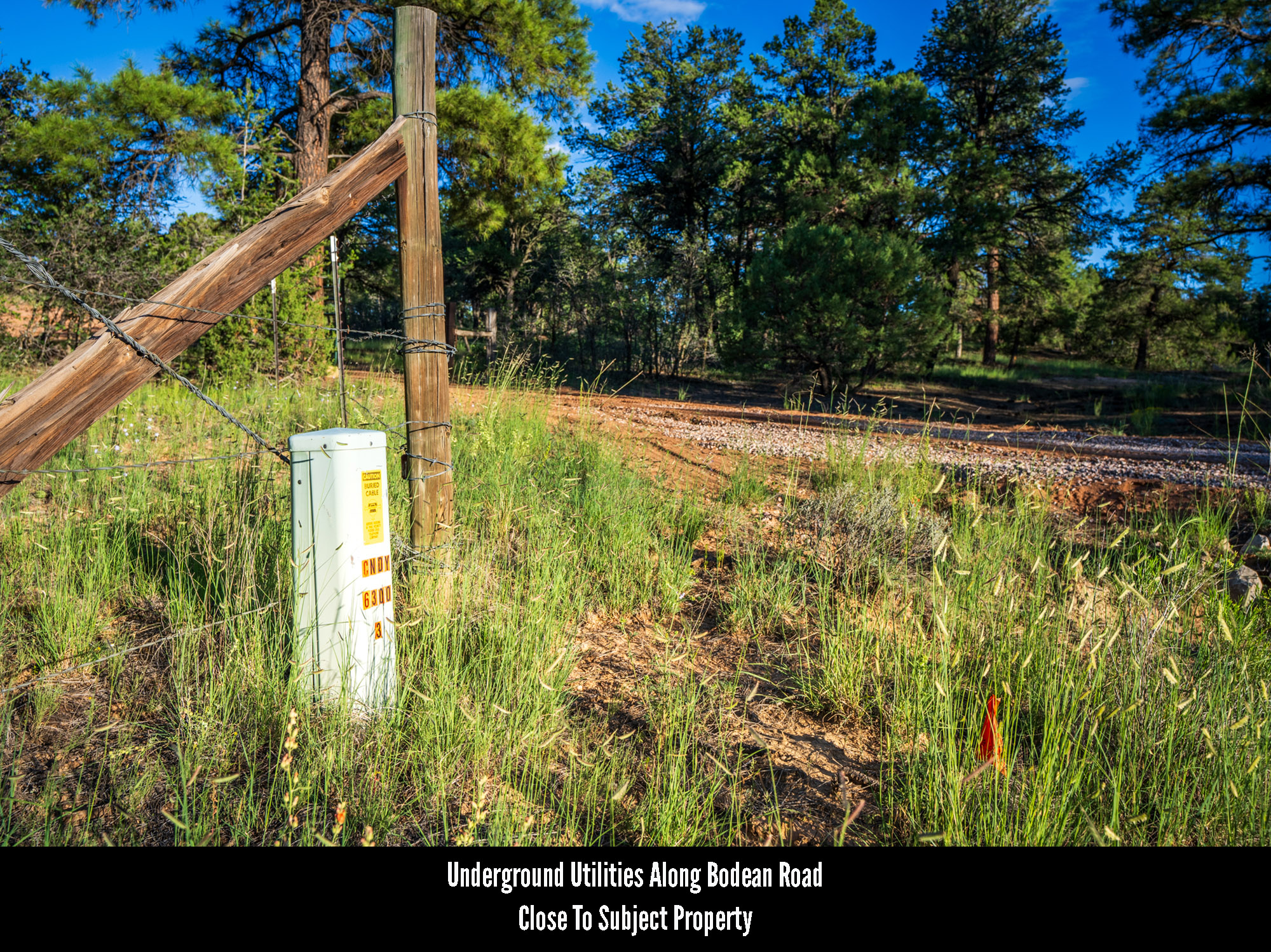
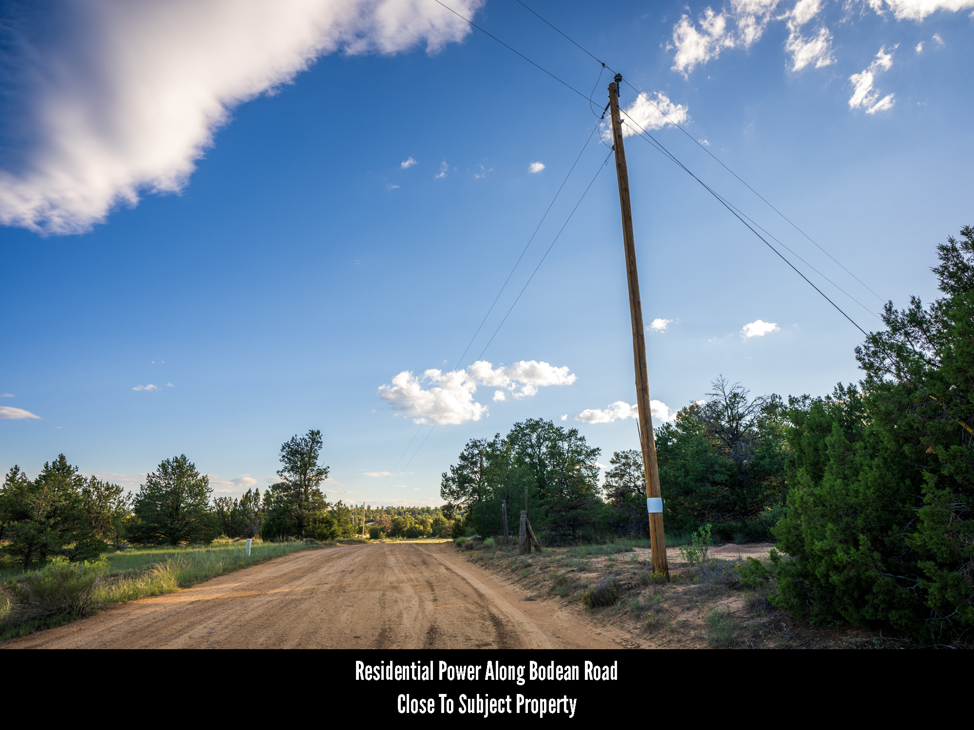
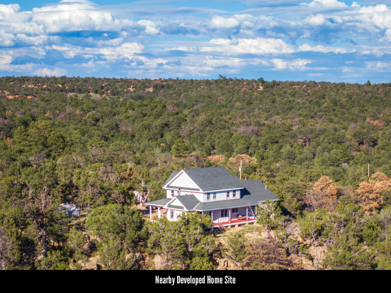
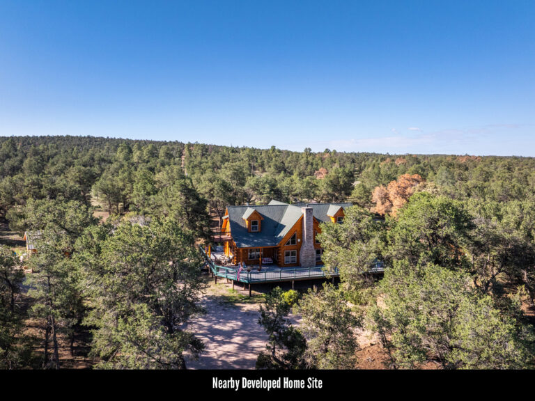
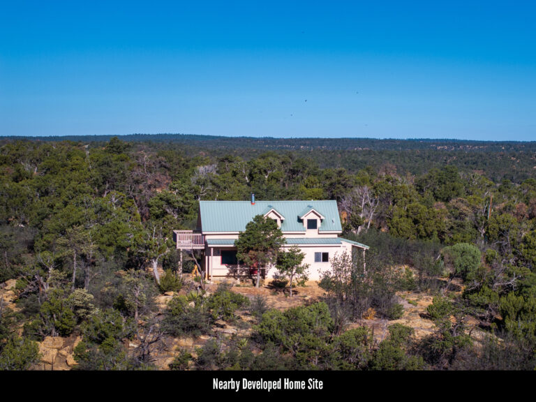
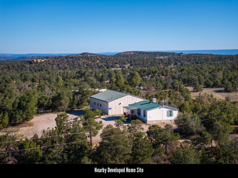
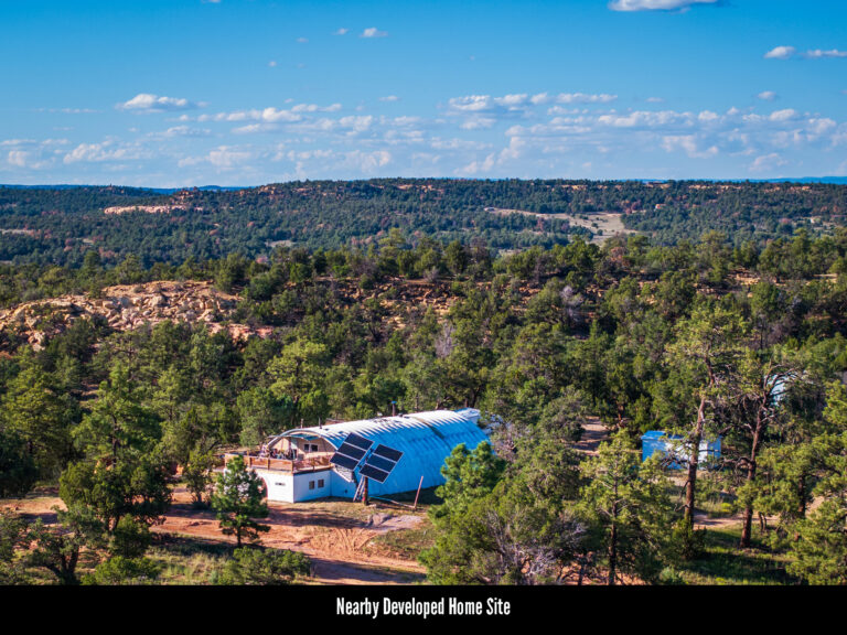
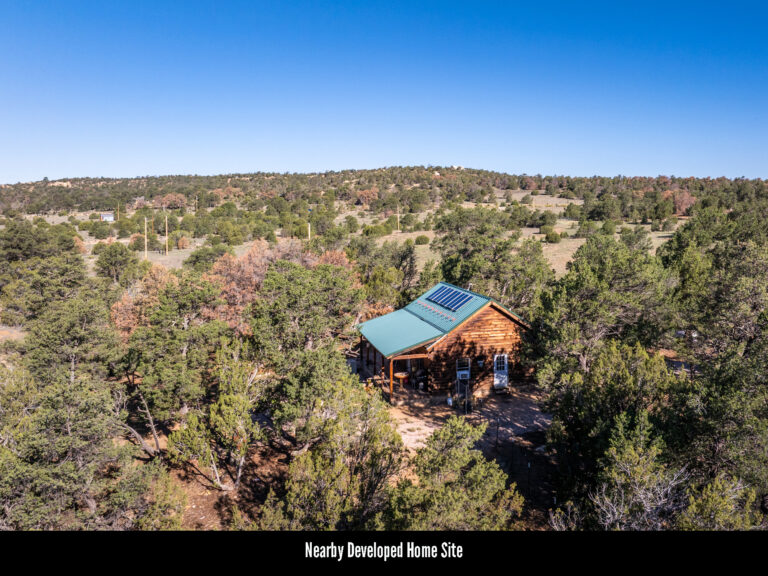
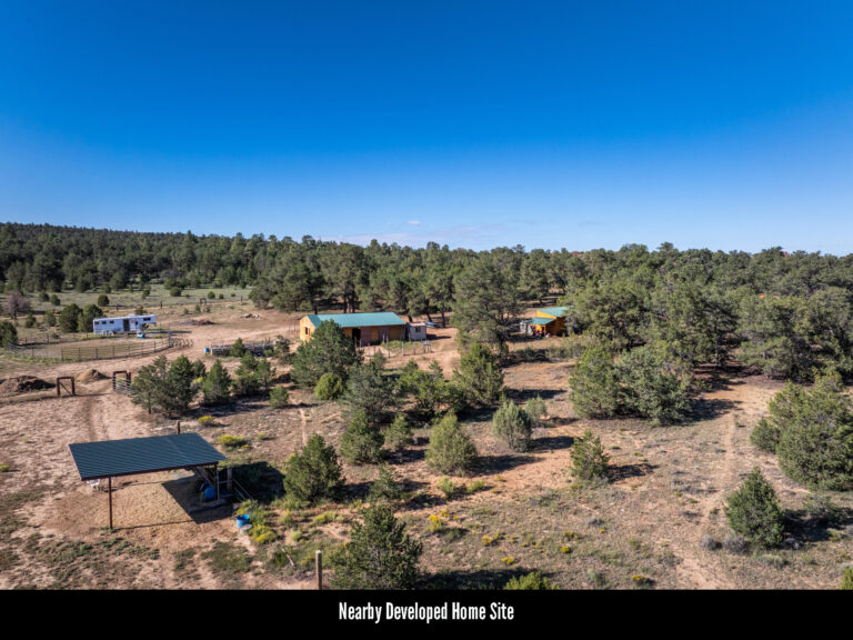
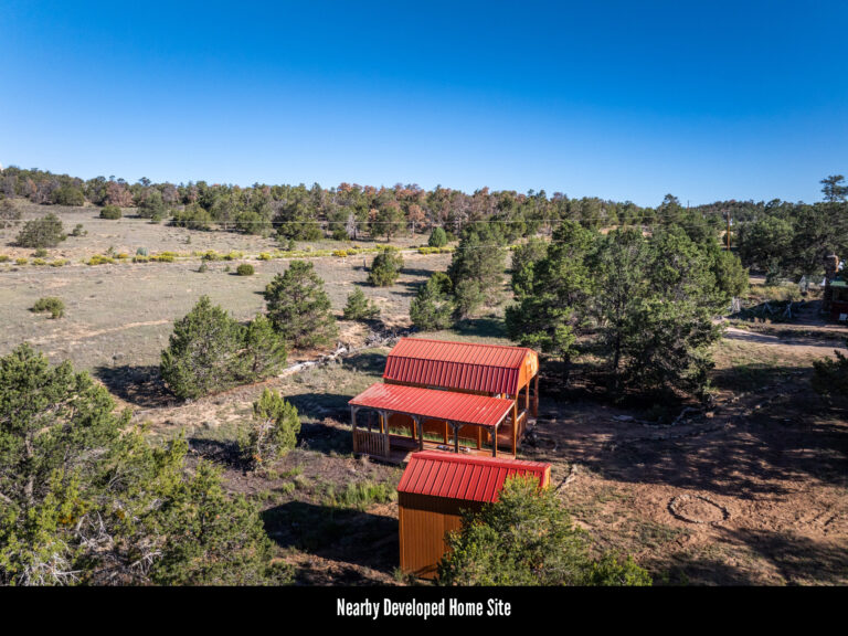
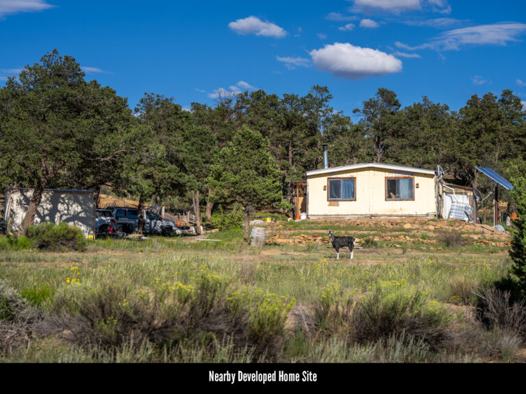
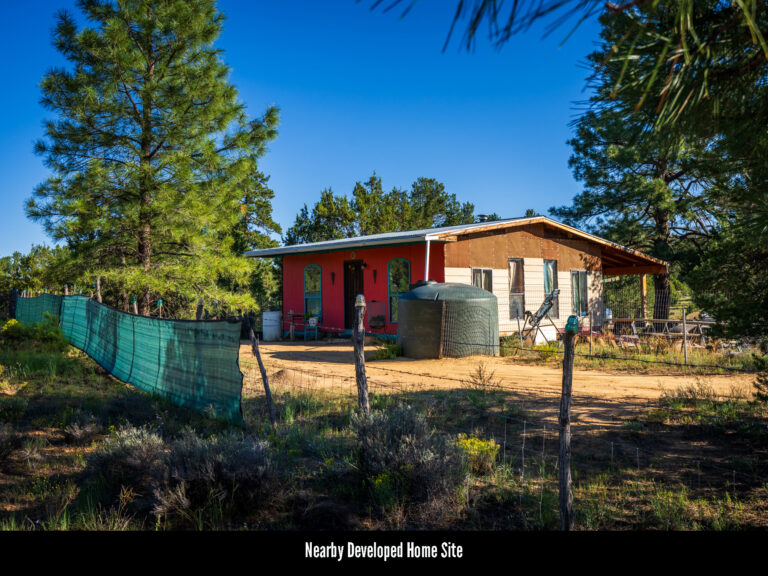
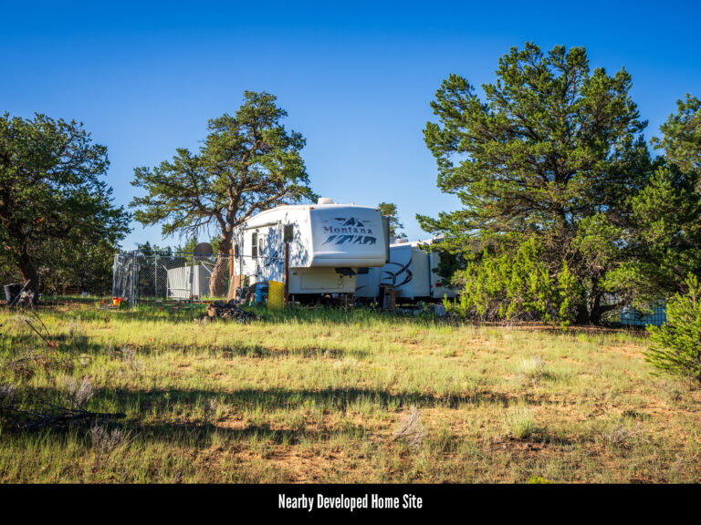
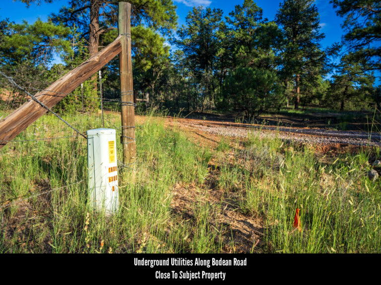
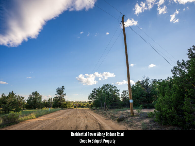
Power & Utilities: Underground power and telecom lines can be found throughout this part of the Candy Kitchen region servicing a number of nearby developed home sites. Despite this fact, neither are present at the subject property. That said, both are close by with the nearest residential power lines found 800 feet southwest where Bodean meets Wildhorse Trail and the nearest underground telecom roughly 1,200 feet north of the subject property along Bodean. Because of this, getting connected to the grid may not be as difficult or expensive as one might assume. Anyone looking to investigate the costs associated with getting power extended to the subject property is encouraged to contact Continental Divide Electric Cooperative, the utility company servicing this region.
Wells & Water Service: As with most of the rural land we list, city water service does not exist in this region and anyone electing to develop the land will need to either utilize holding tanks or install a well. Applications for well drilling permits and water rights are handled by the Office of the State Engineer. Anyone curious to learn more about this process is encouraged to visit their website here. Anyone looking to investigate the water table depth common to this region is encouraged to contact well drillers local to the area.
ZONING & RESTRICTIONS
Zoning: Cibola County is one of the few New Mexico counties that has no formal county-wide zoning ordinance and defers instead to towns, municipalities and owners’ associations within its borders to make and enforce their own rules. Because of this, the only “local” regulations specific to this region would come either from an Association or from the covenants and restrictions on file for the subdivision.
Subdivision: When the subject property was first created, it was part of a much larger effort by the developer to subdivide and re-plat a rural region in the heart of Candy Kitchen into residential land. For some reason that developer elected to assign legal descriptions to every handful of properties as if they were part of a different subdivision, instead of all being part of one larger community. So while most all the land in this region was created at the same time by the same developer, roughly every twenty parcels are part of a different subdivision and thus, are named and identified differently. The subject property is located in the Garfield Subdivision, a fact which seems to be the only thing that distinguishes it from any of the other formally named subdivisions that surround it.
No HOA: The Garfield subdivision, like most all the surrounding communities, is not part of an HOA and there are no annual dues associated with land ownership here.
Covenants, Conditions & Restrictions: When the subject property was first subdivided, the developer drew up a set of covenants and restrictions to run with the land. While most of these are what we like to refer to as “reasonable, good neighbor restrictions” dealing primarily with the disposal of trash and prohibitions on excess noise, there are a few covenants that deal with setbacks and limitations on subdivision of the land. Because of this, anyone considering purchasing the property is encouraged to review the Hastings Subdivision Covenants and Restrictions document linked here. NOTE: The County could not provide a legible CCR document for the Garfield sub. Hastings, however, is a sister sub and the CCRs for all the subdivisions in this region are identical. This document is being substituted merely because it’s the easiest to read.
Camping & RV Use: Per Cibola County, camping and RV living are acceptable for thirty days at a time or up to a year with a building permit.
Editor’s Note: The above-linked covenants and restrictions document is one of the least detailed we here at Hemingway Land have ever encountered. Documents like this will typically enumerate acceptable types of structures, minimum square footage for those structures, timelines for building as well as how long, if at all, a property can be used recreationally. This document only stipulates that structures be “pleasing to the eye.” Additionally, this document neither addresses nor prohibits any of those things as most covenant and restrictions would. This, in combination with the relaxed County zoning, suggests that few restrictions exist or are being enforced here. This further suggests that the land would be ideal for unconventional structures difficult to get permitted elsewhere such as tiny homes, shipping containers, earthships and yurts. In addition, one can also conclude that RV camping for prolonged periods of time would not be met with serious opposition.
HELPFUL LINKS
The Hemingway Land Company does our best to represent the properties we list as accurately as possible. Our research, however, will always be limited.
Because of this, included in the table to the right is a list of the relevant state and county governments, agencies and authorities as well as local utilities (and all their respective websites and contact information) which should help to answer any questions a buyer may have about developing this specific property.
Whenever possible it is best to speak with these agencies first as they will always be a far greater source of information about the local region and the regulations which govern it.
Cibola County Assessor’s Office (505) 285-2566 (Click Here)
Cibola County Planning & Zoning (505) 285-2555 (Click Here)
Continental Divide Electric Cooperative (505) 863-3641 (Click Here)
New Mexico State Engineer (505) 827-6091 (Click Here)
Well Drilling Info (Click Here)
Well Drilling Permit Application (Click Here)
MISCELLANEOUS
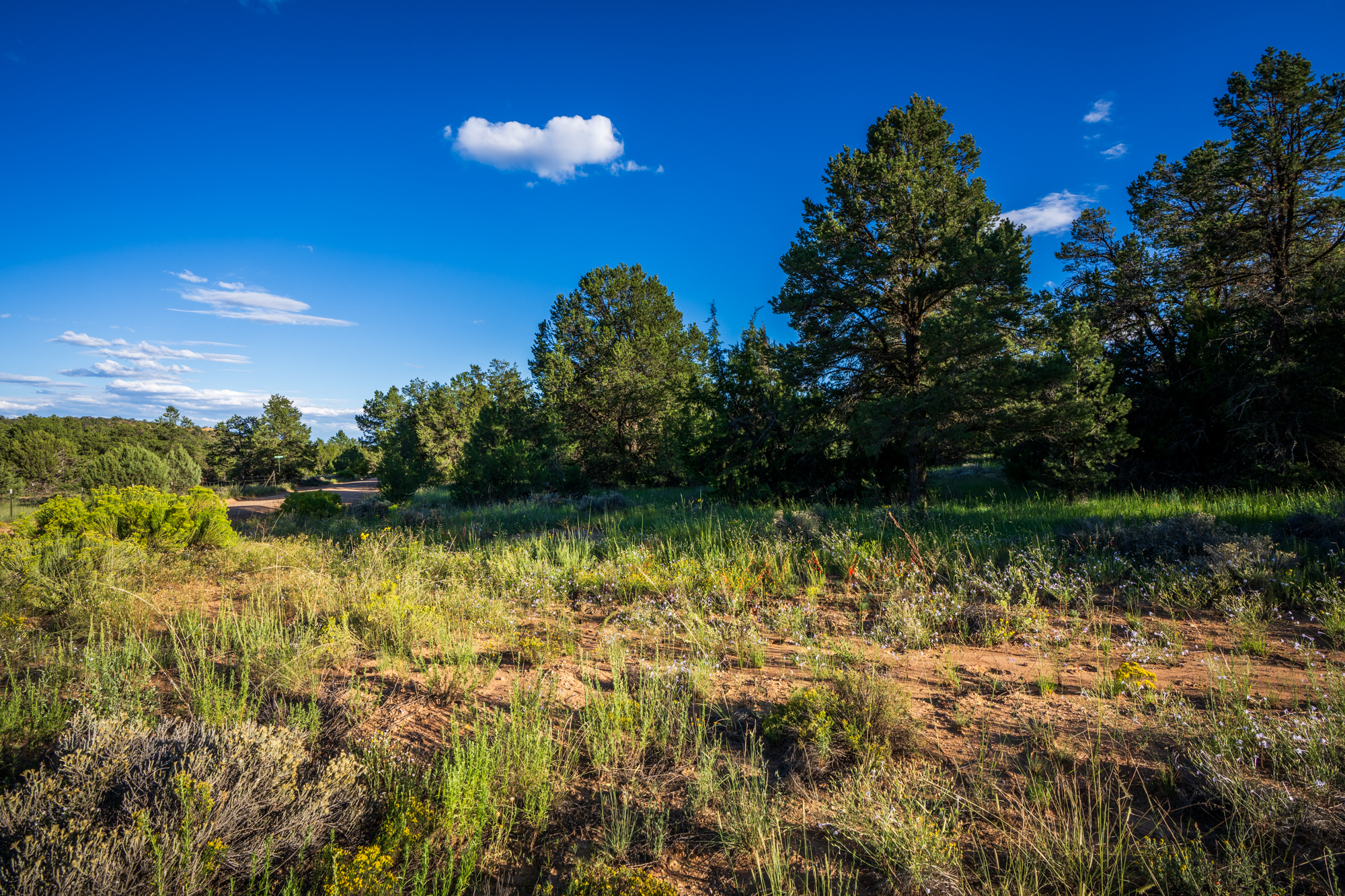
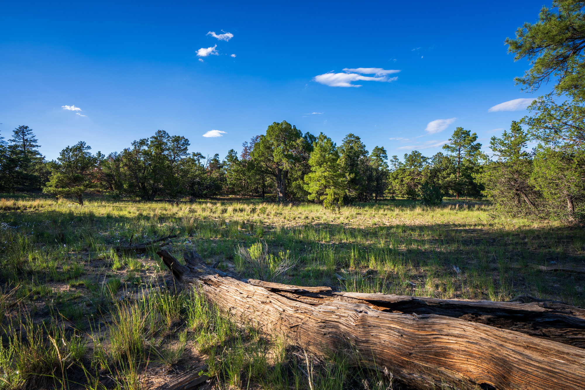
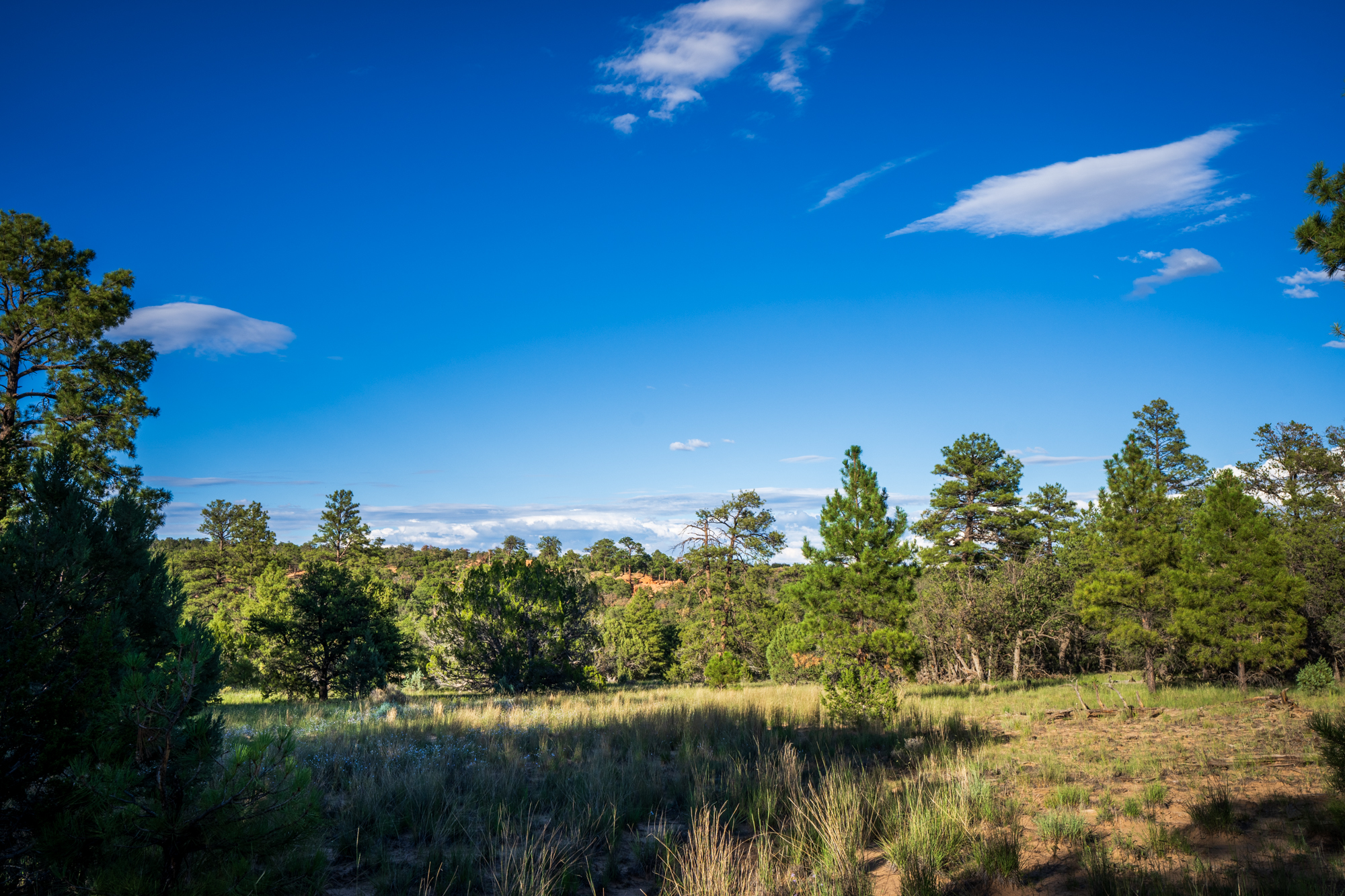
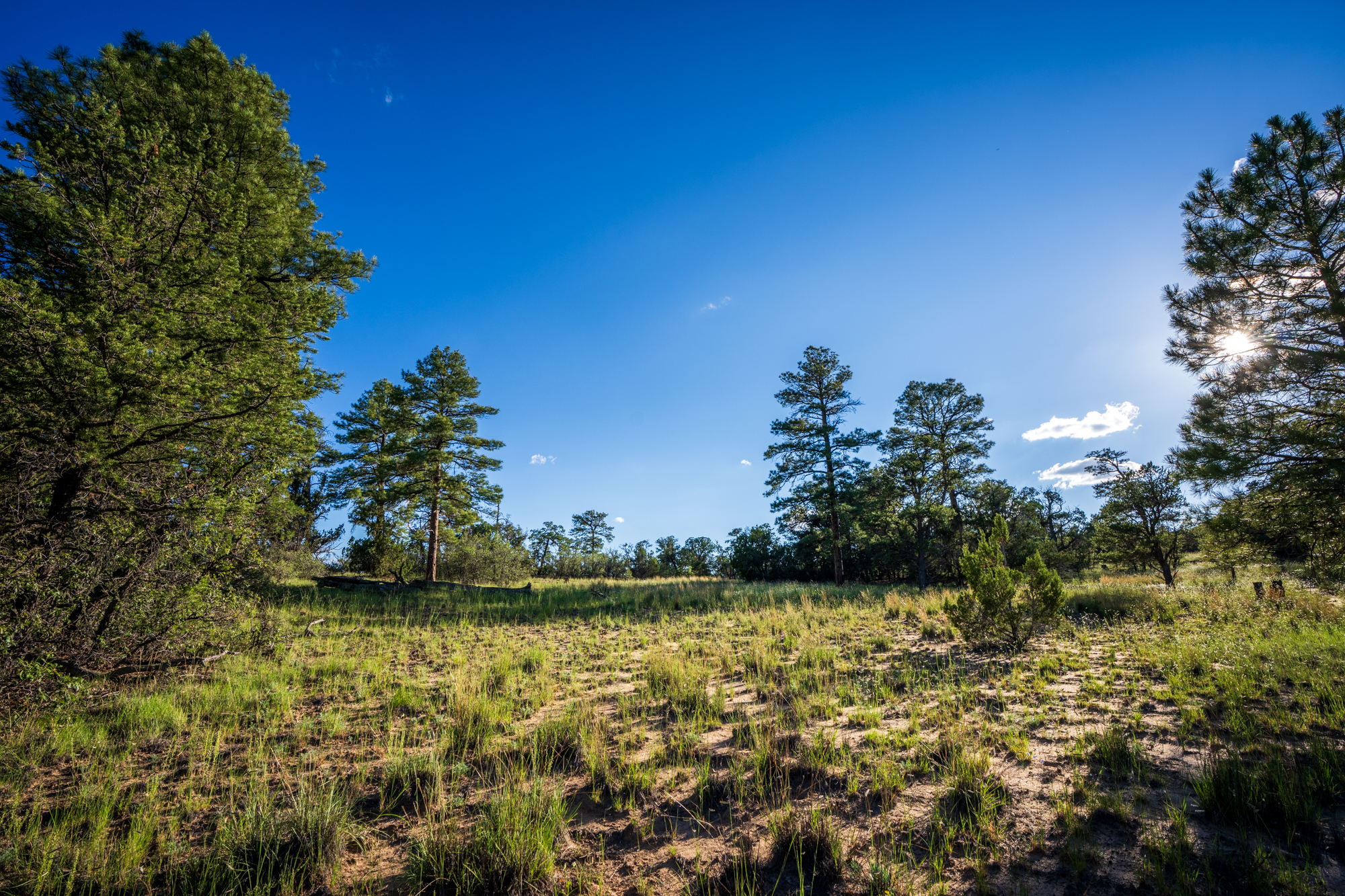
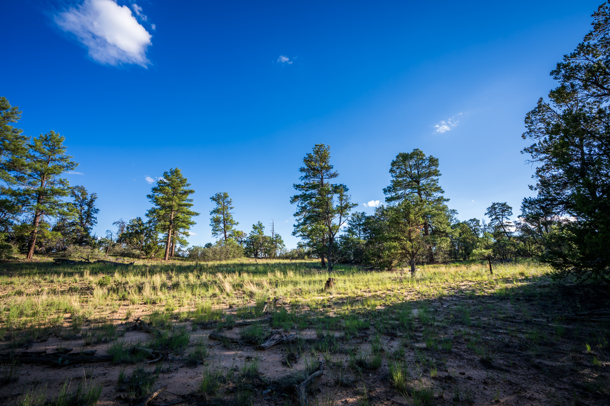
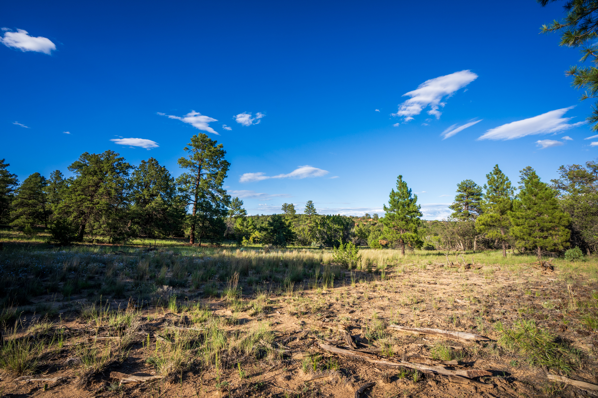
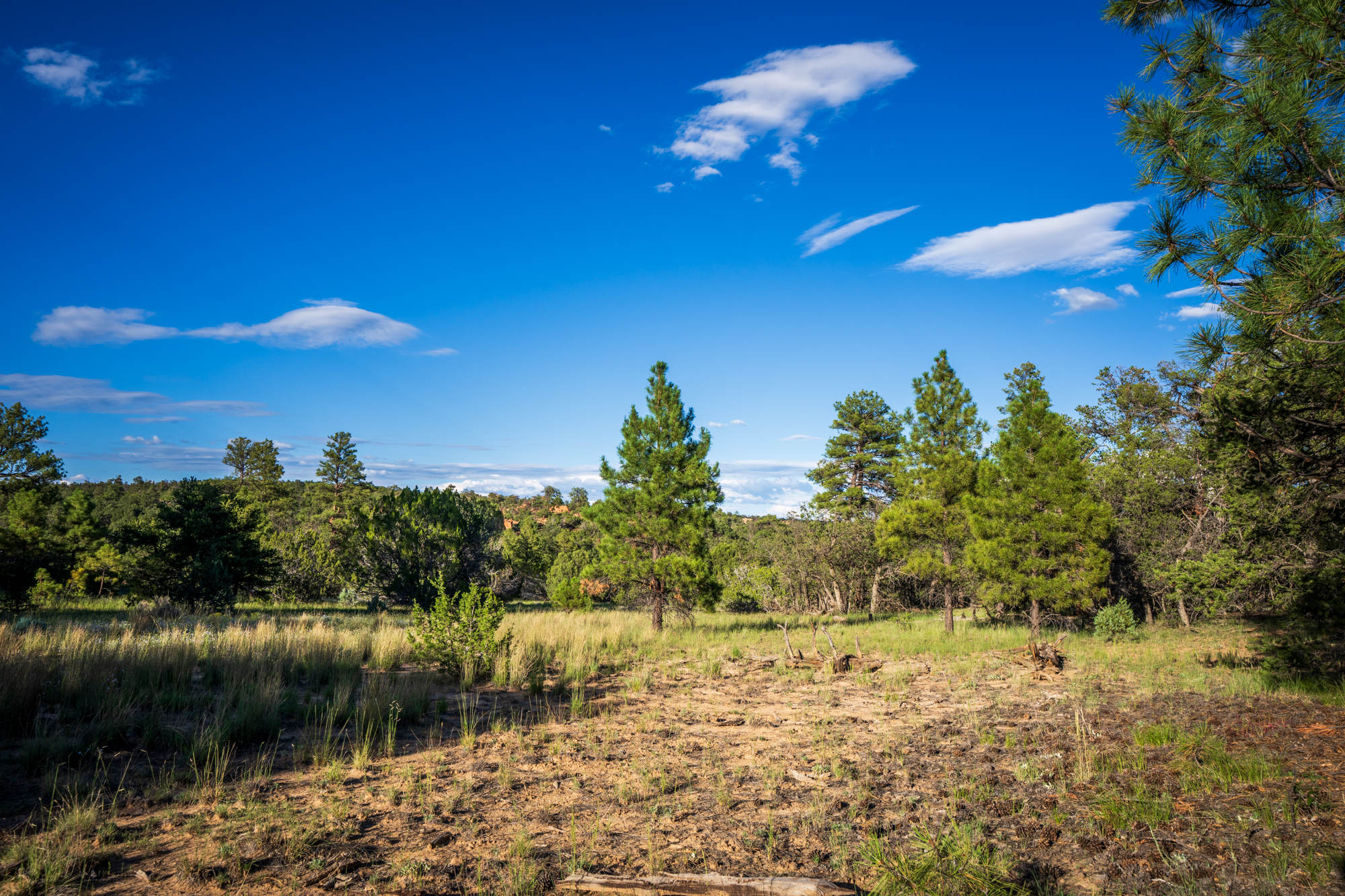
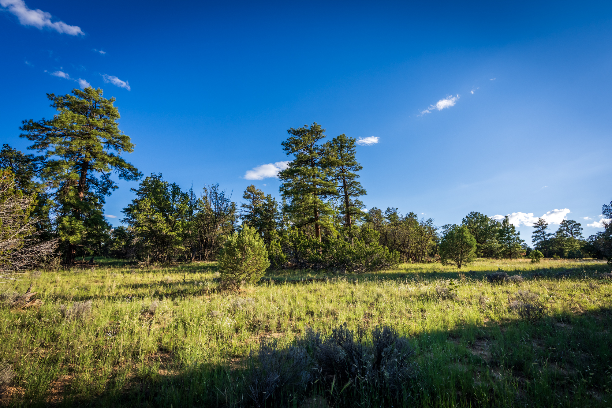
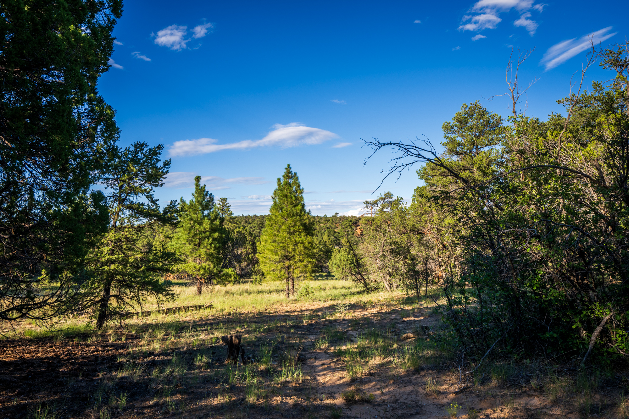
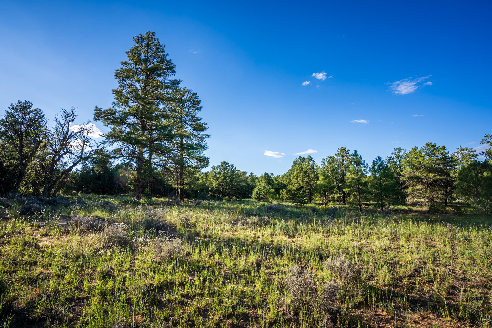
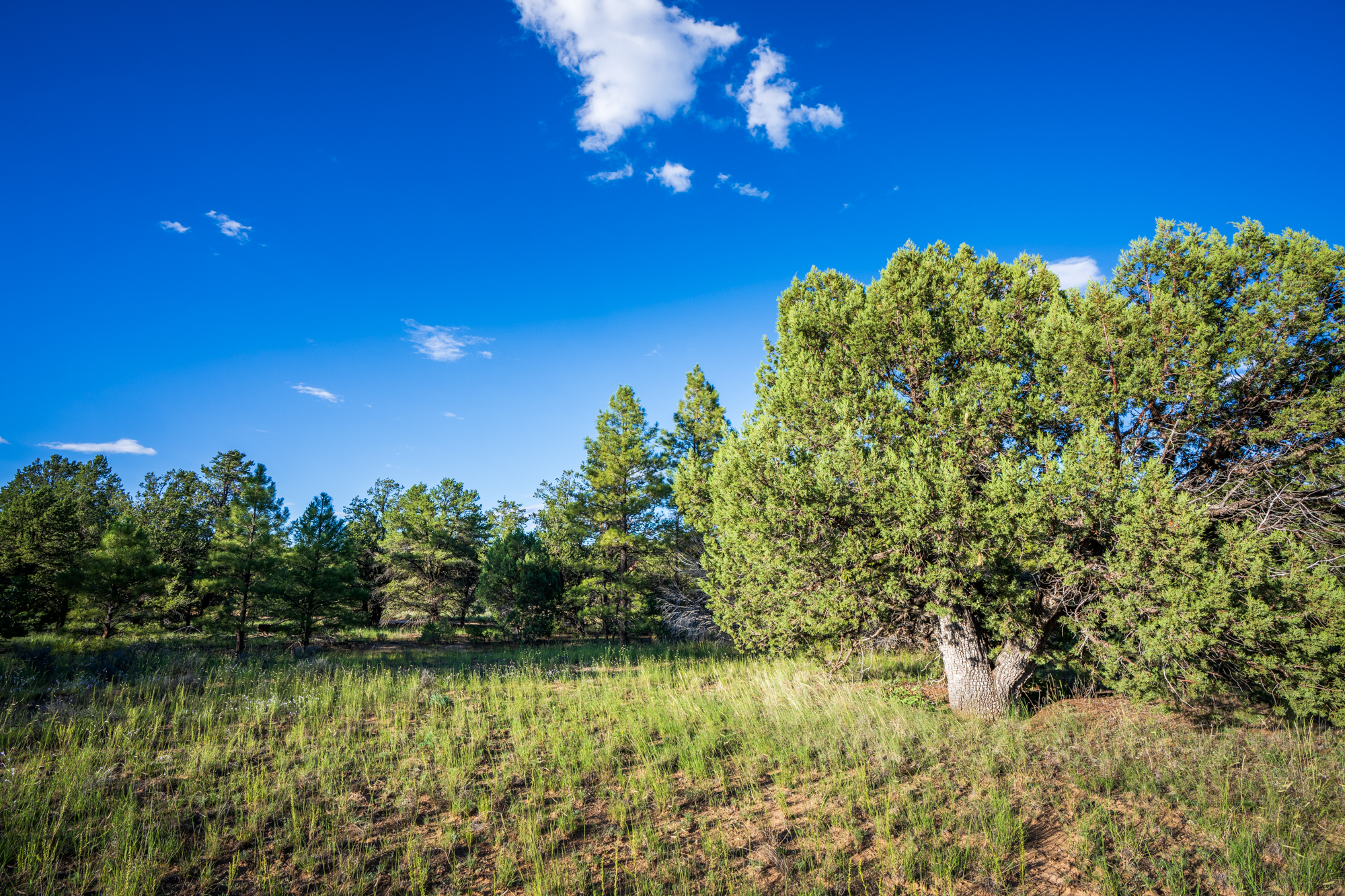
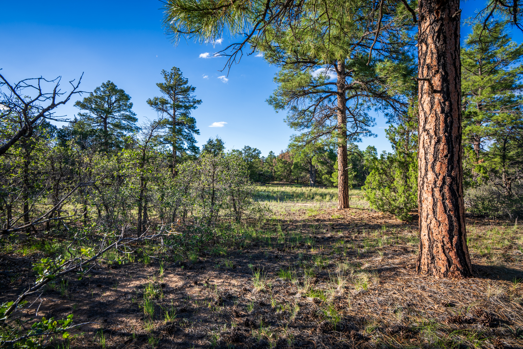
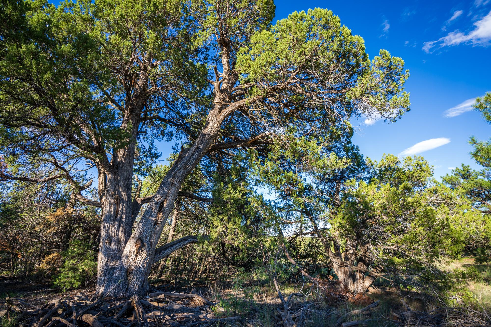
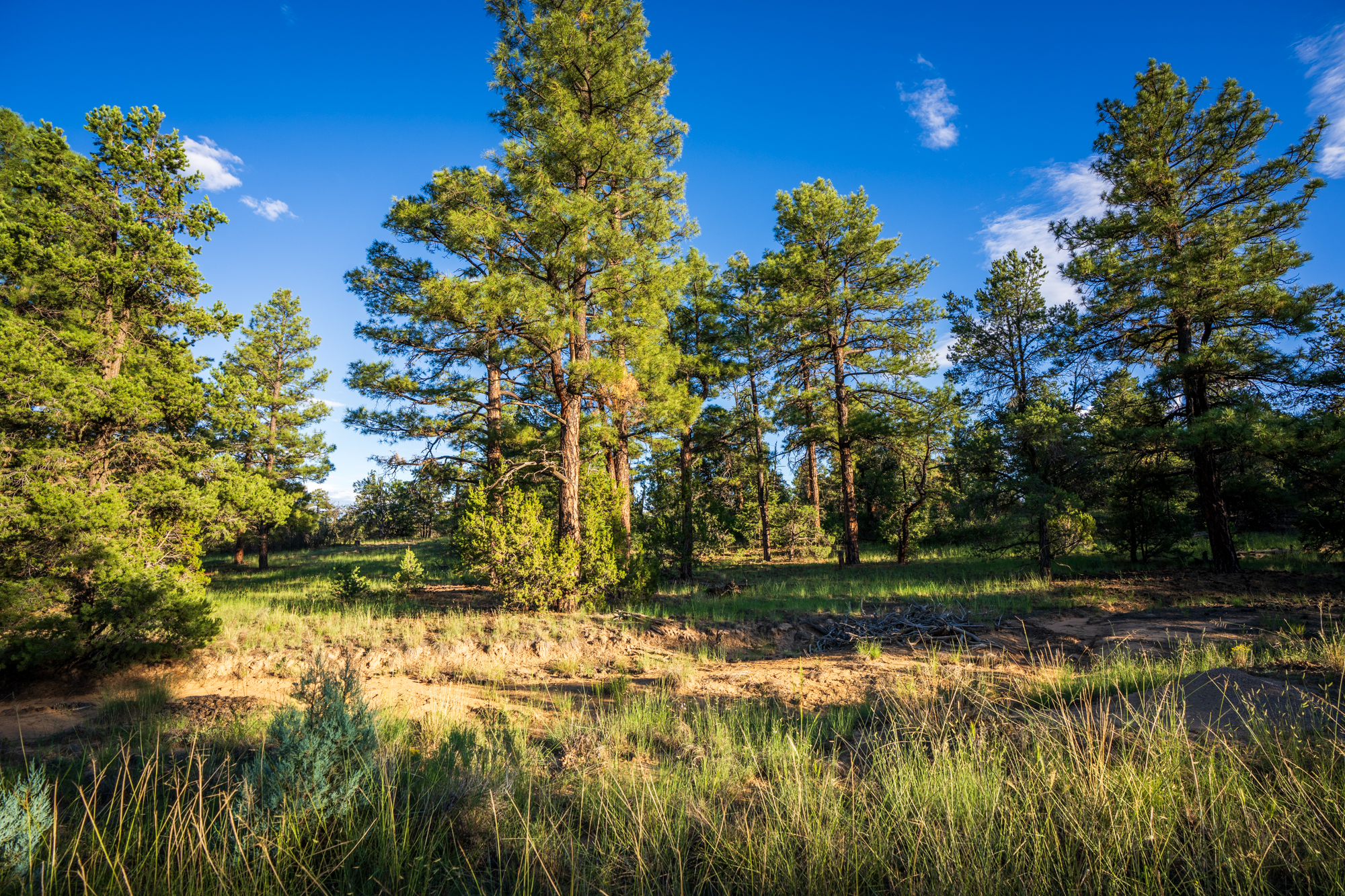
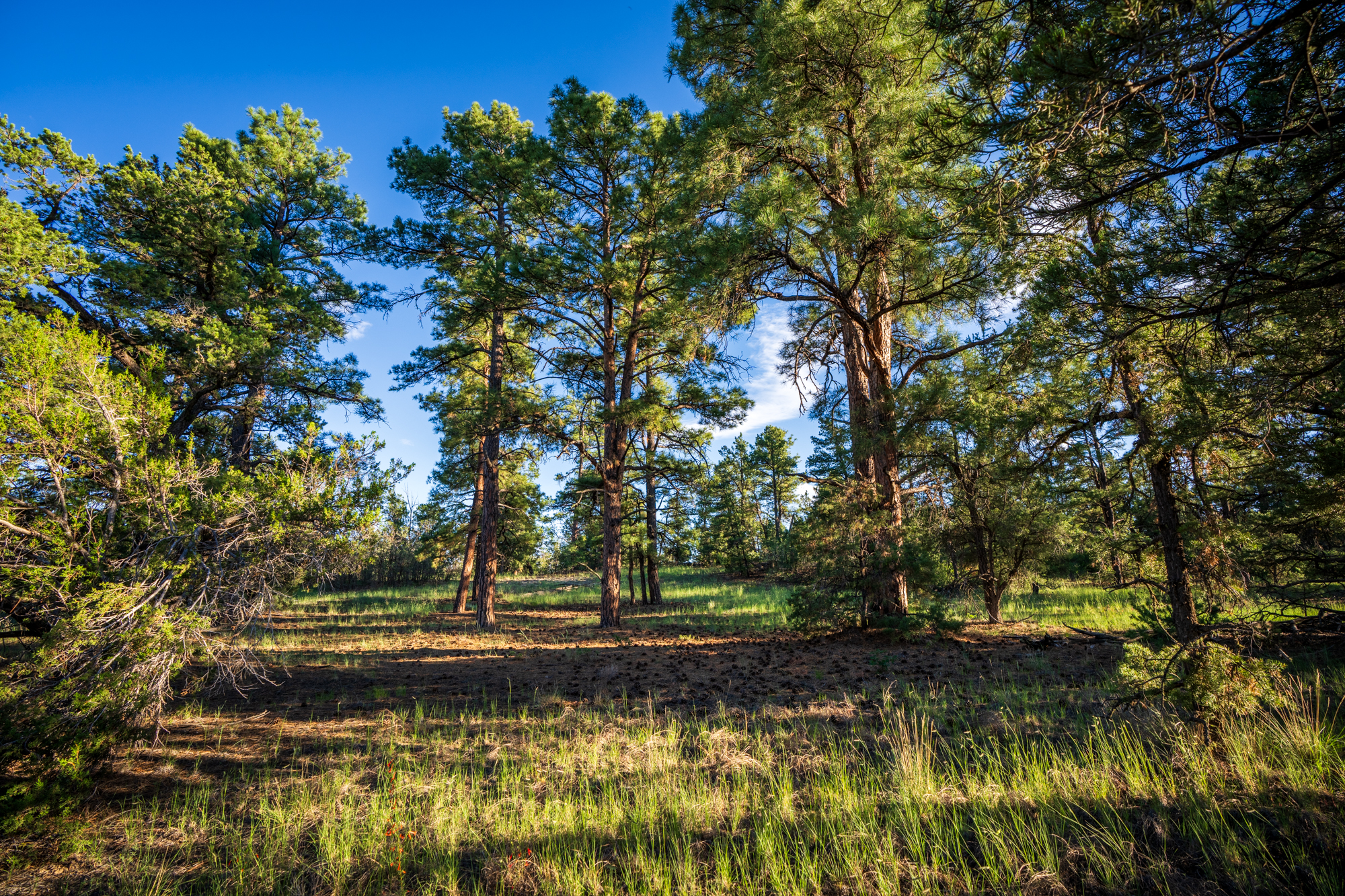
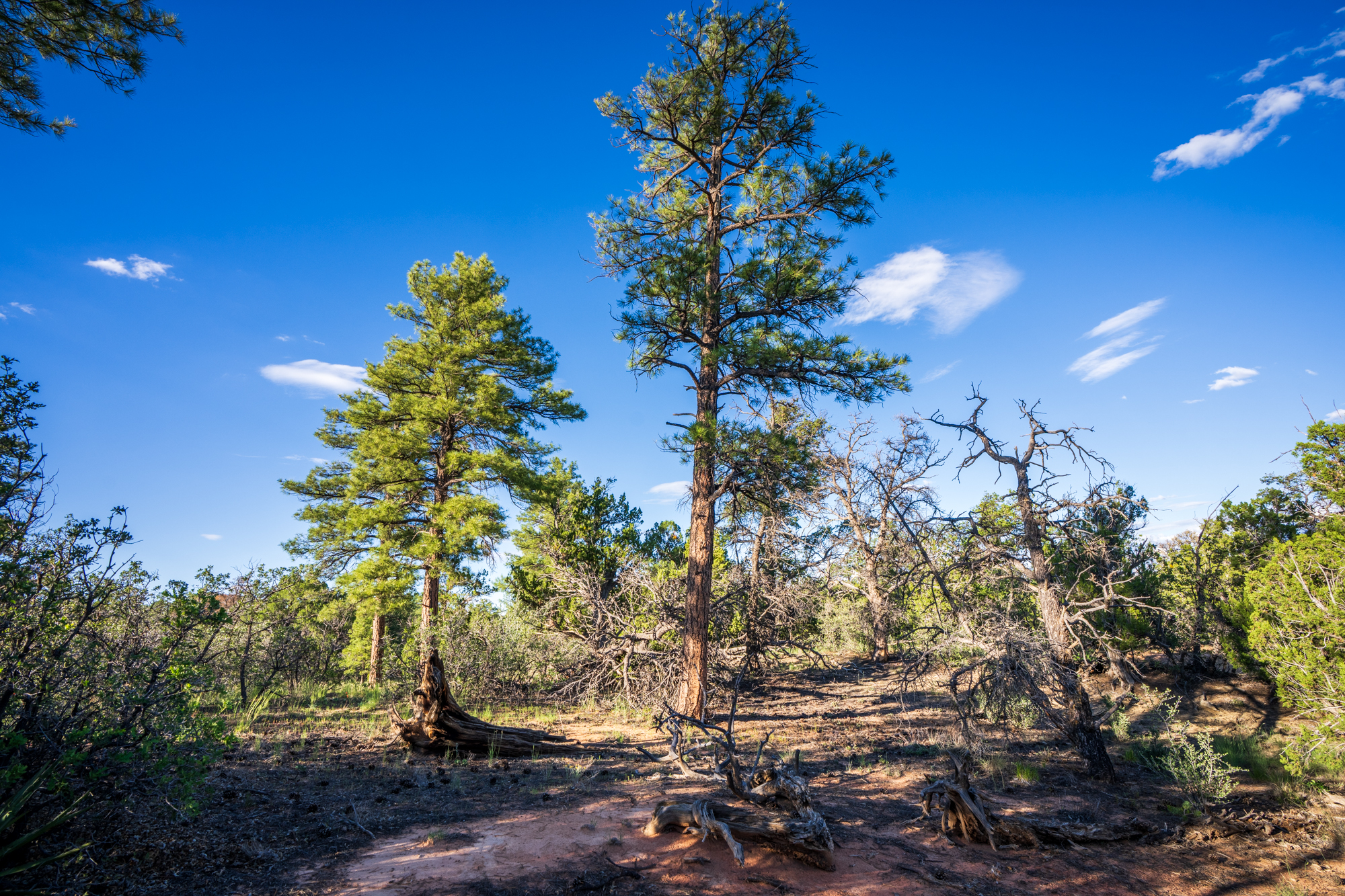
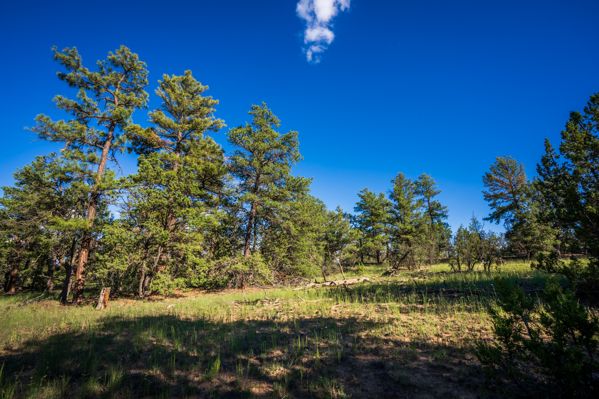
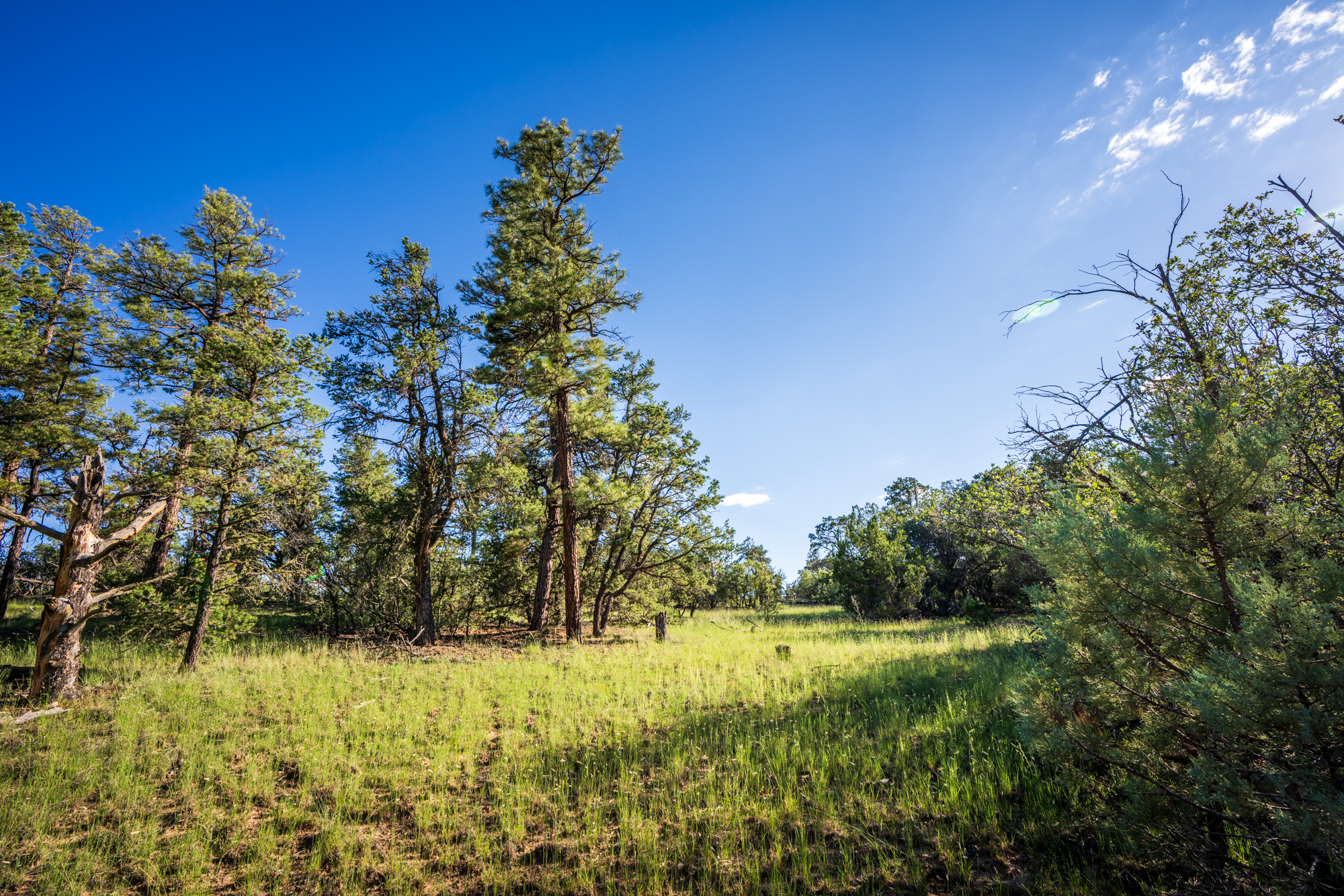
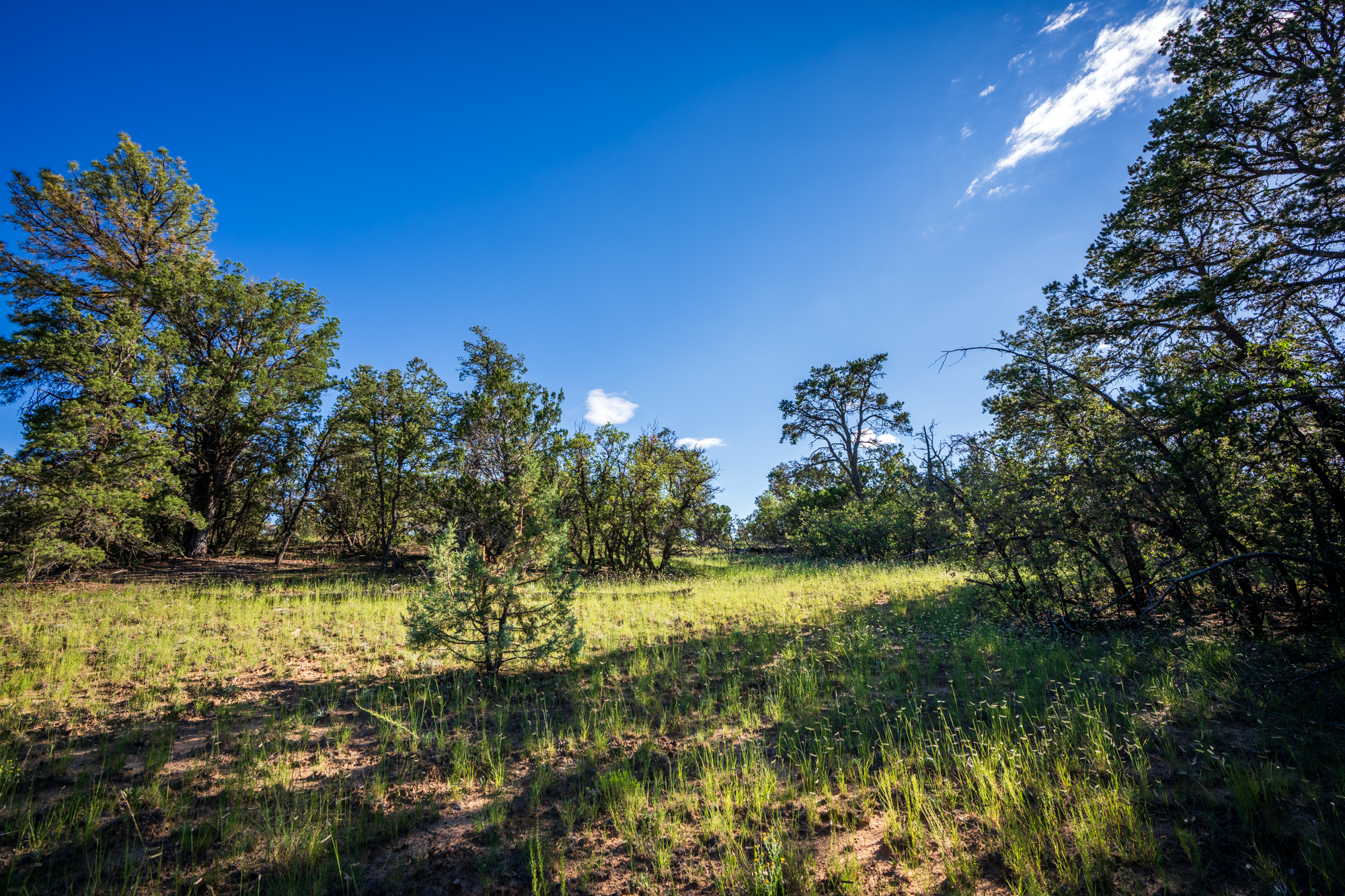
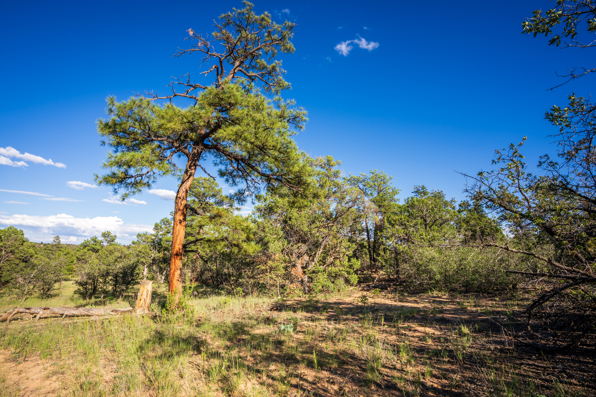
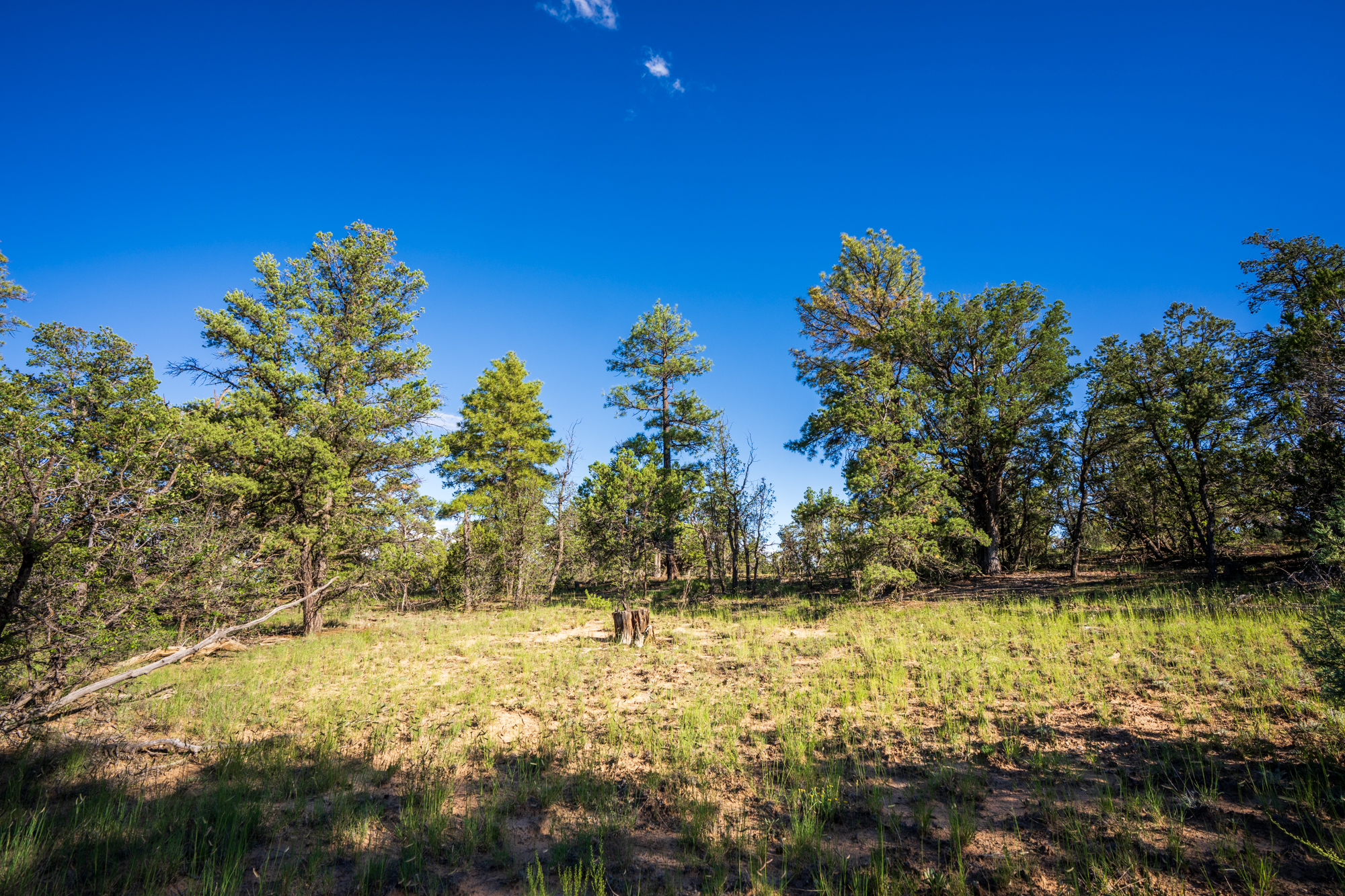
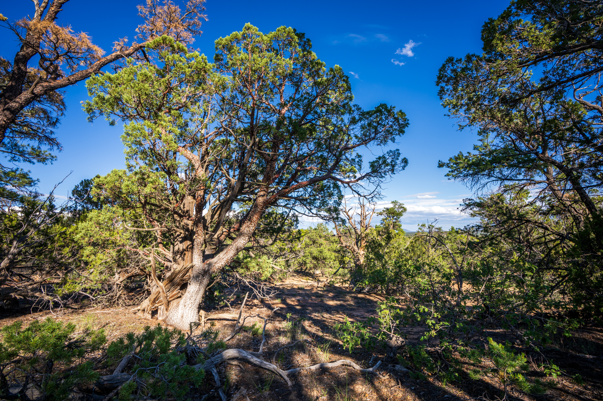
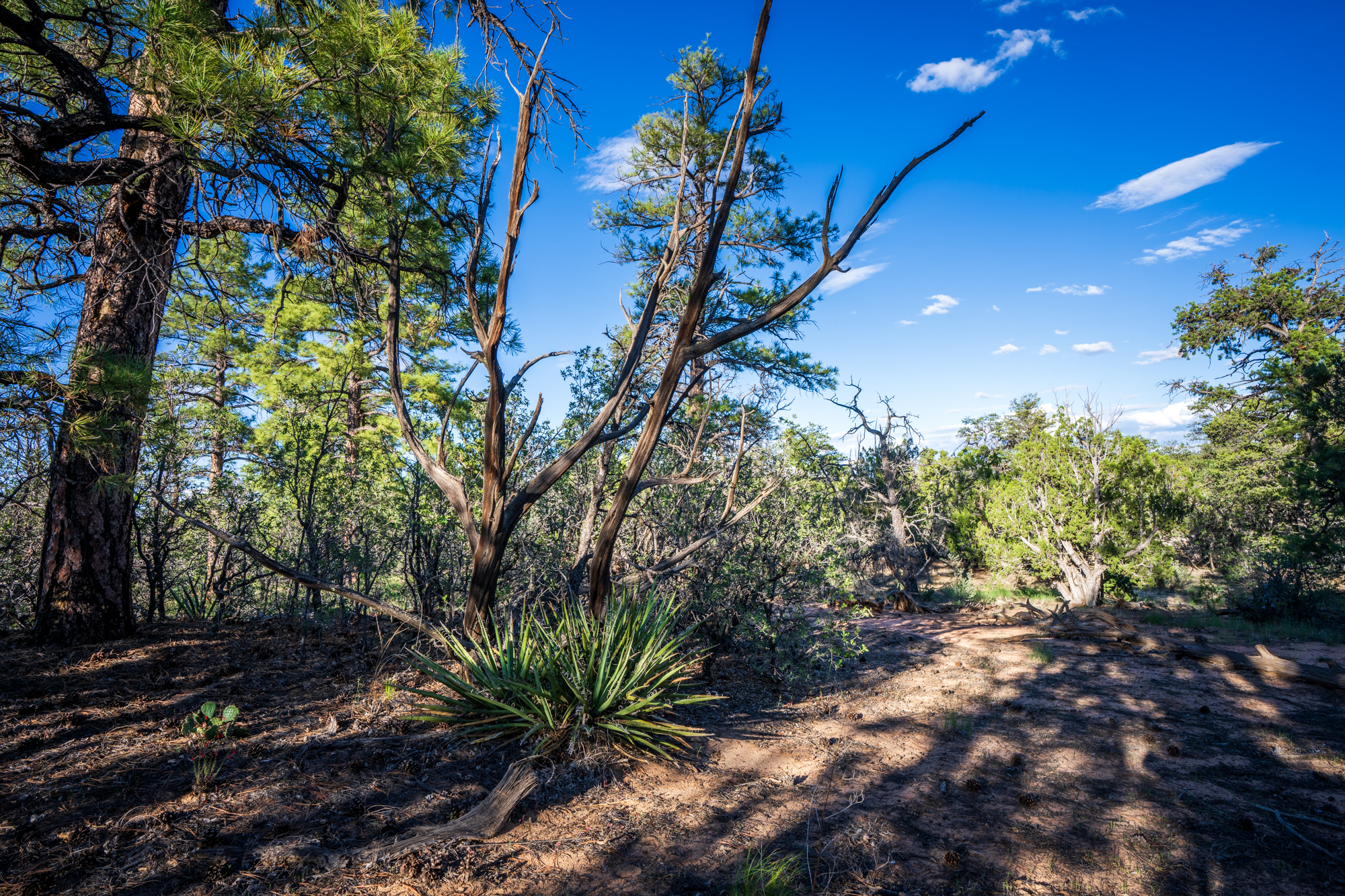
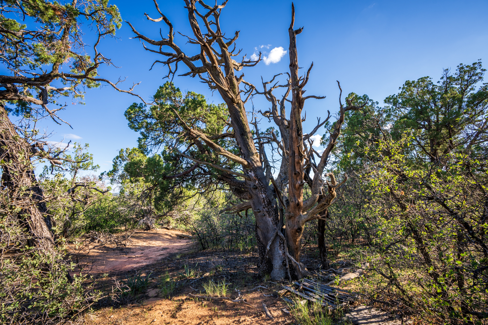
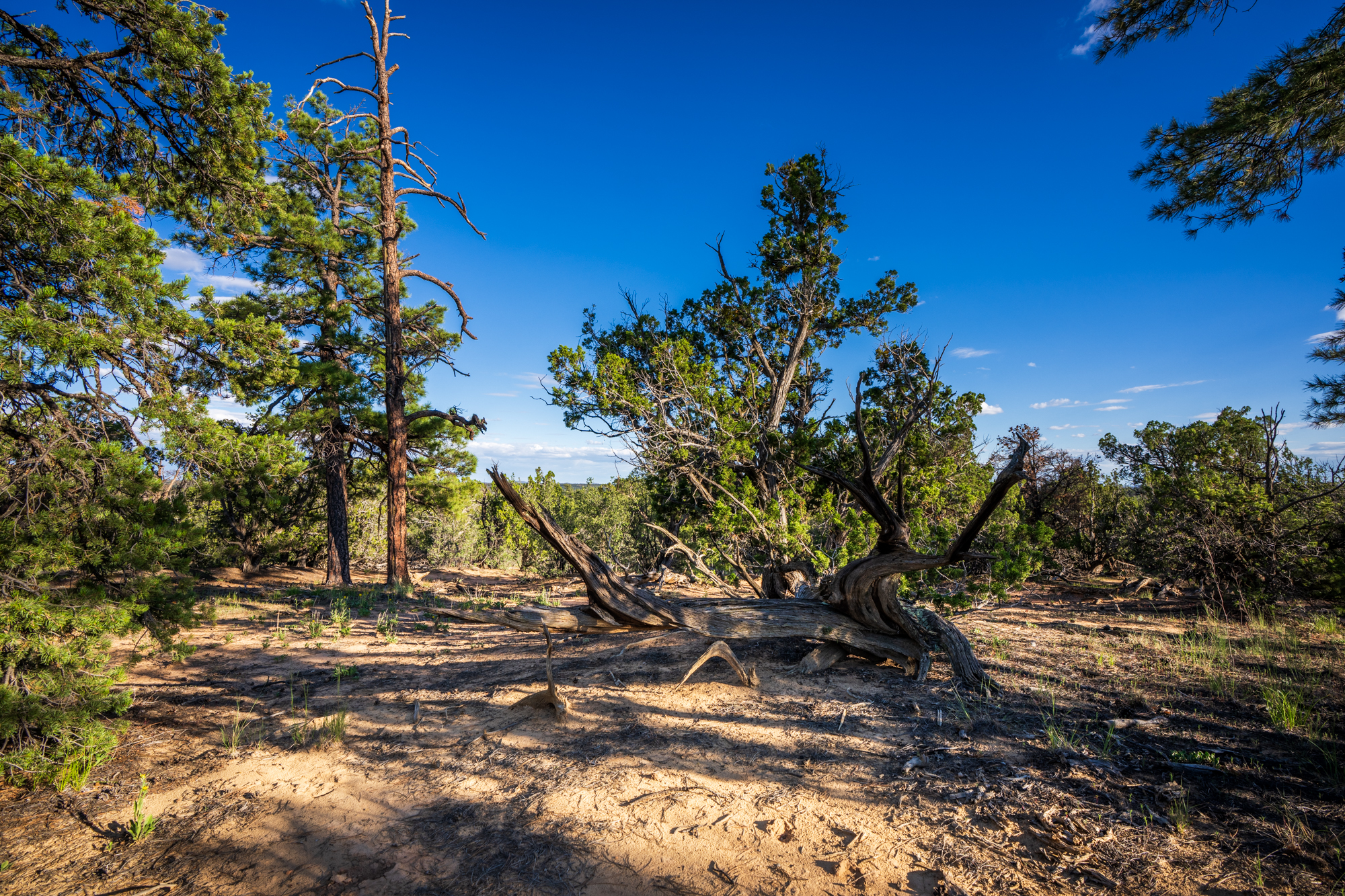
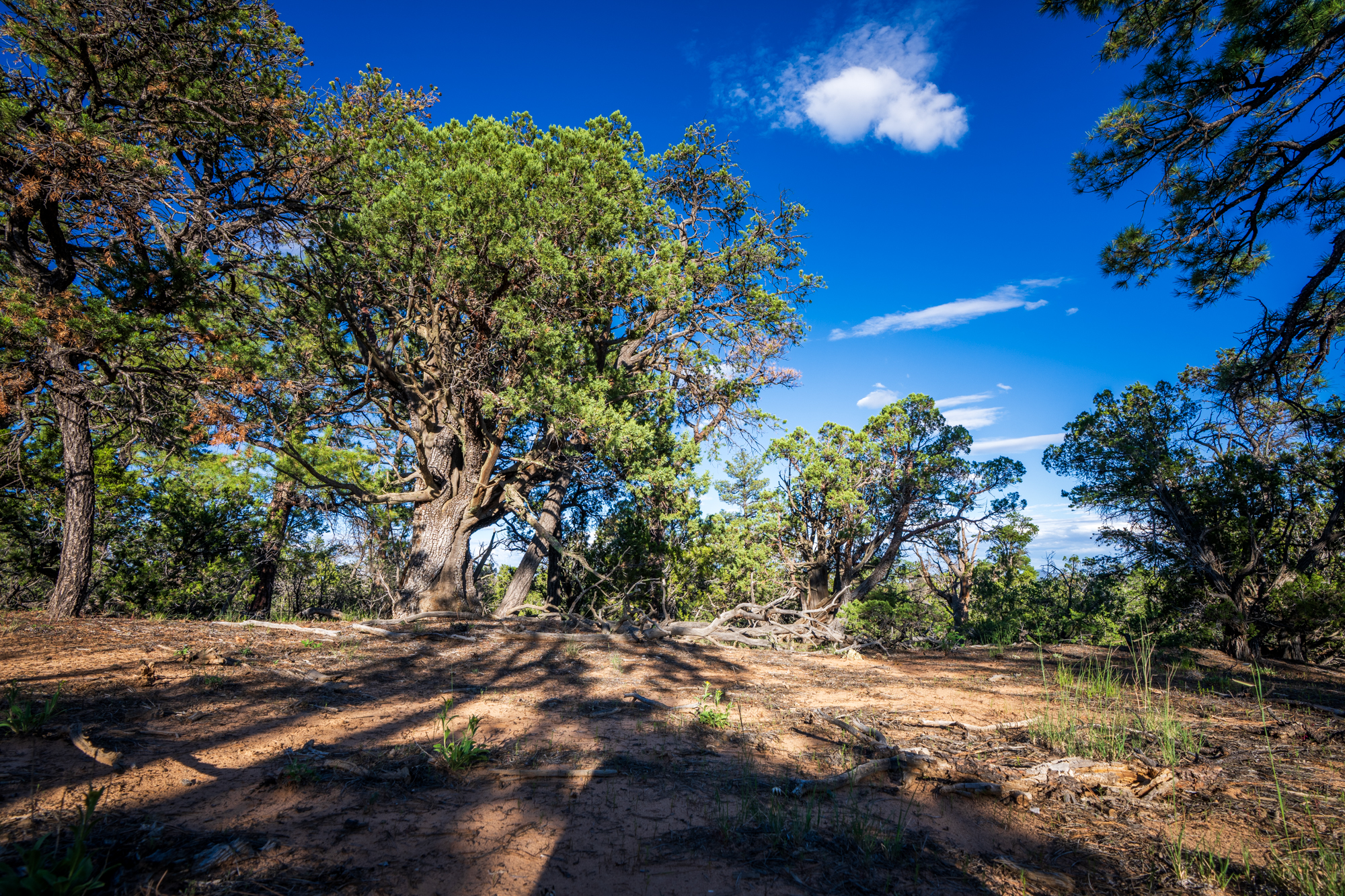
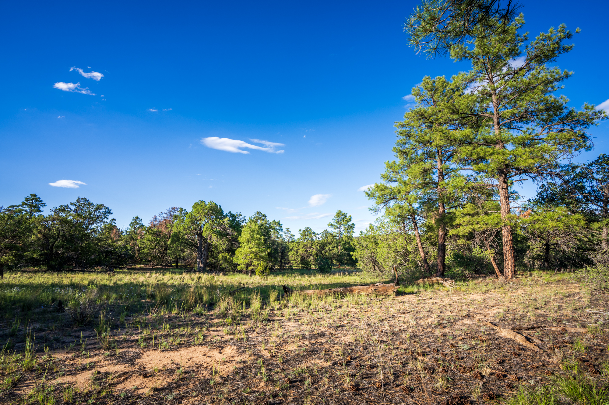
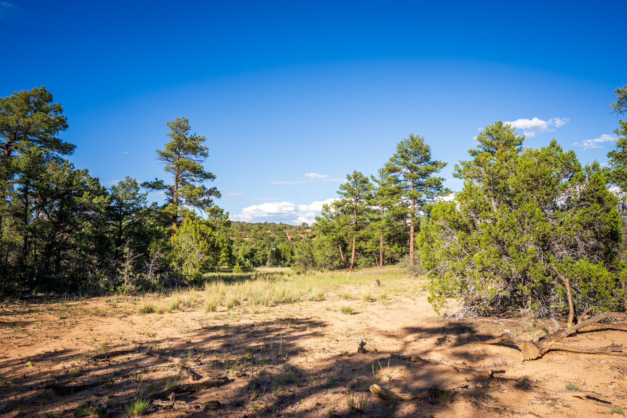
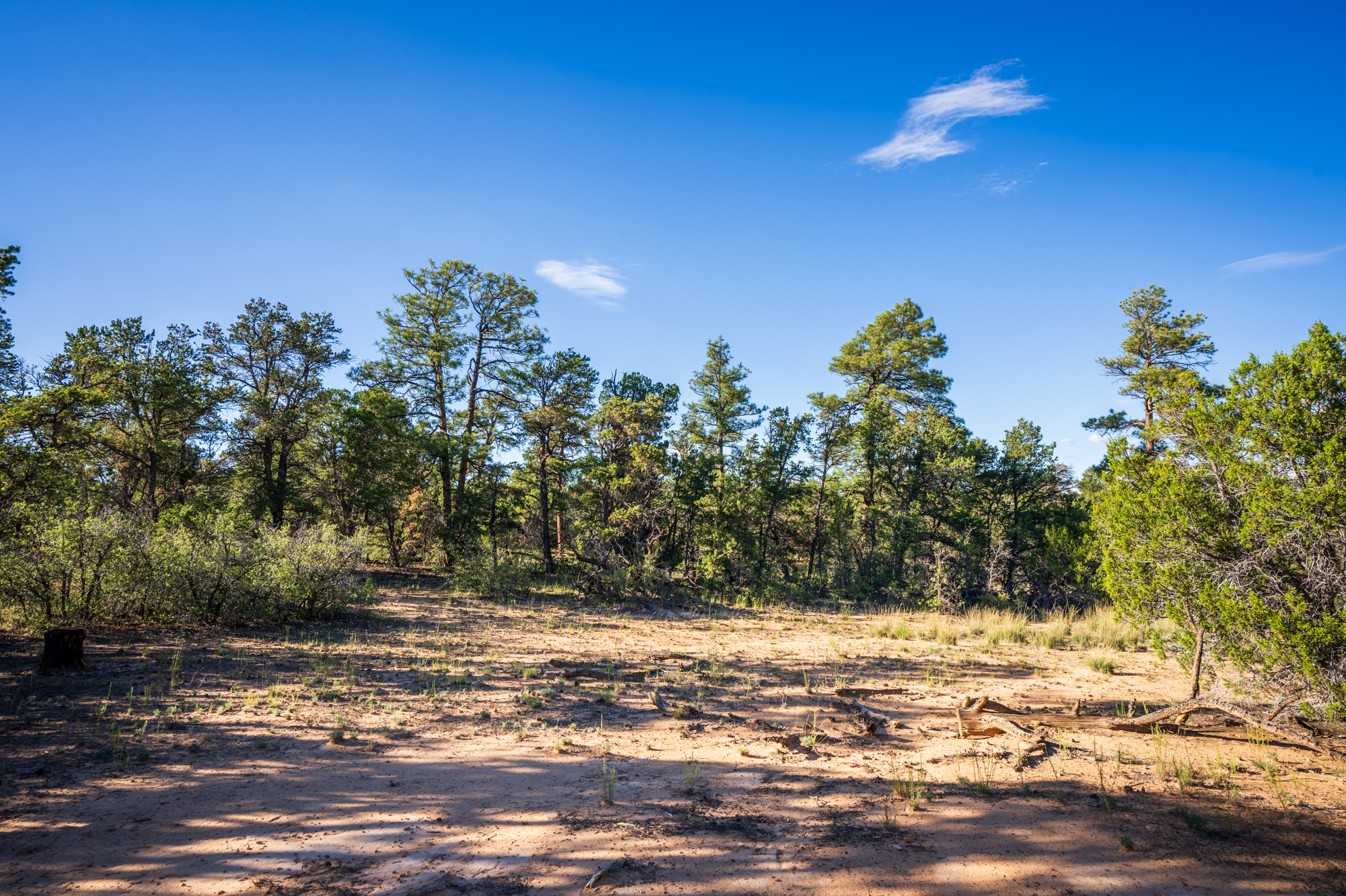
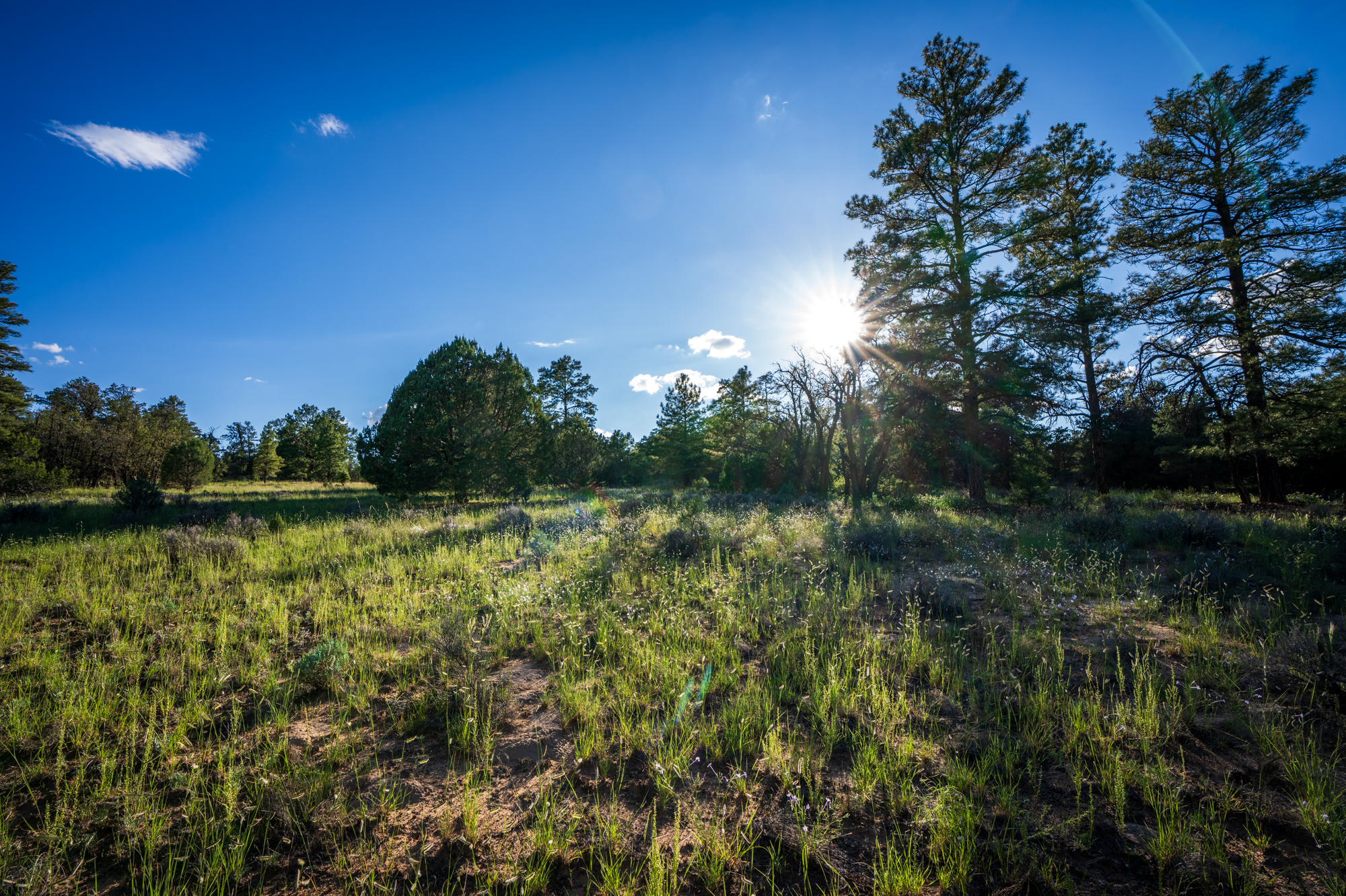
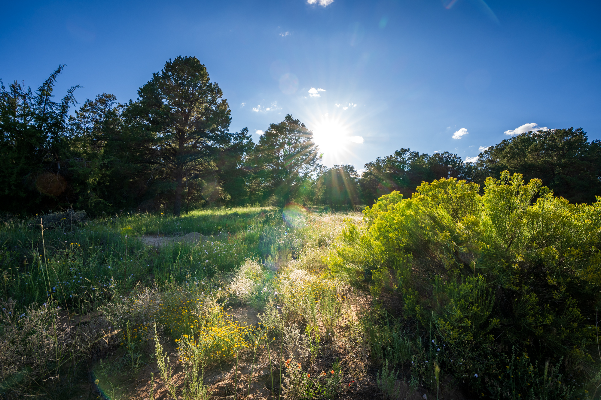
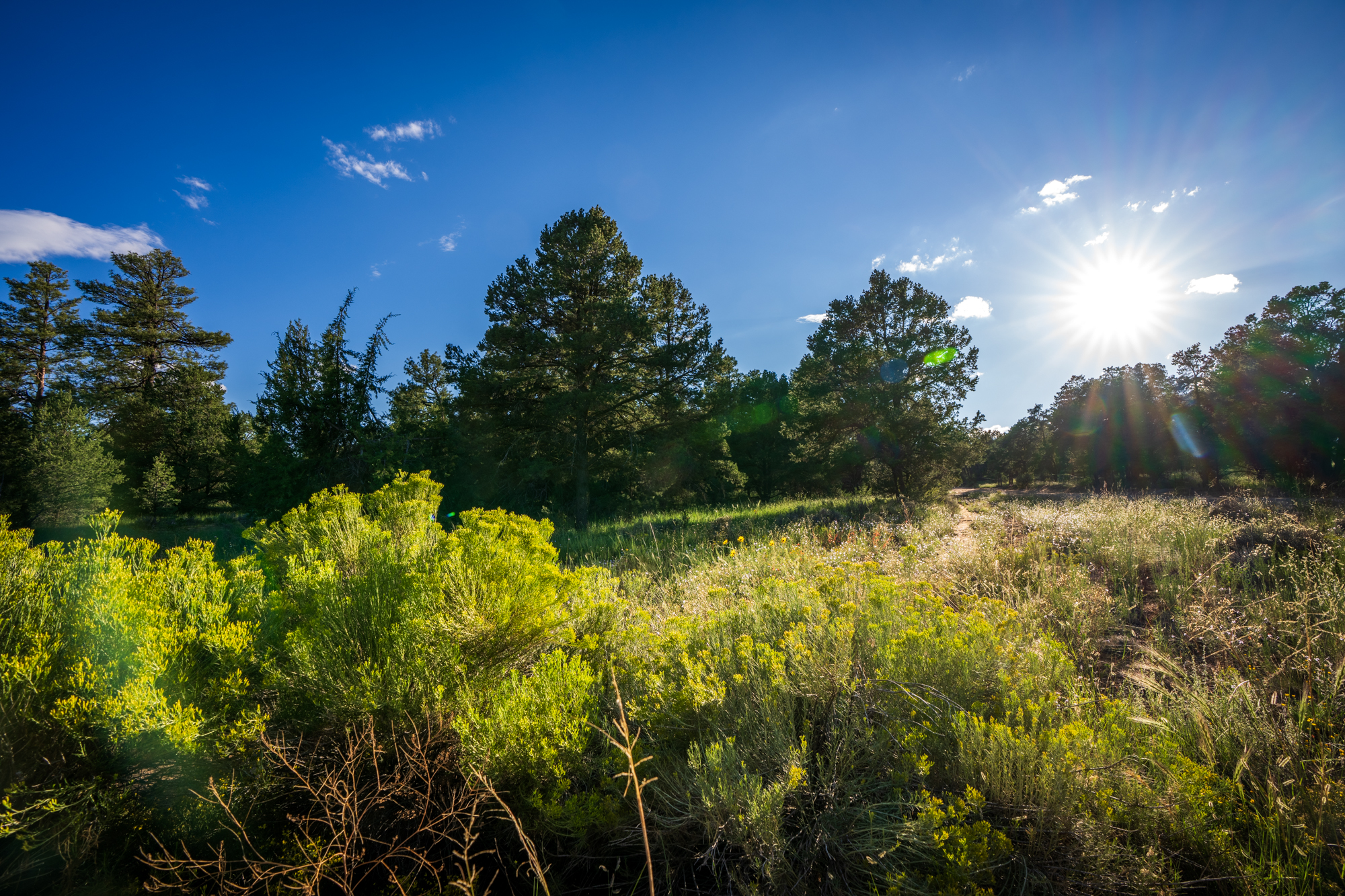
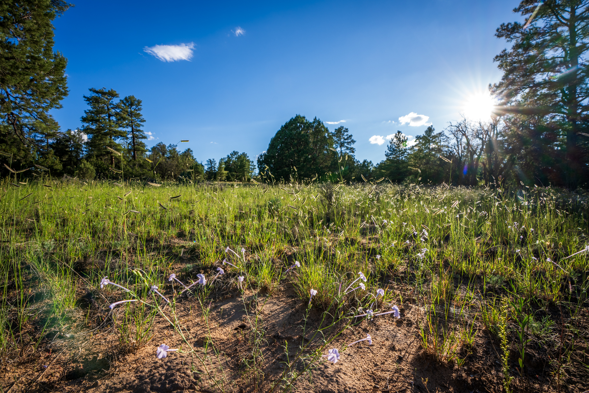
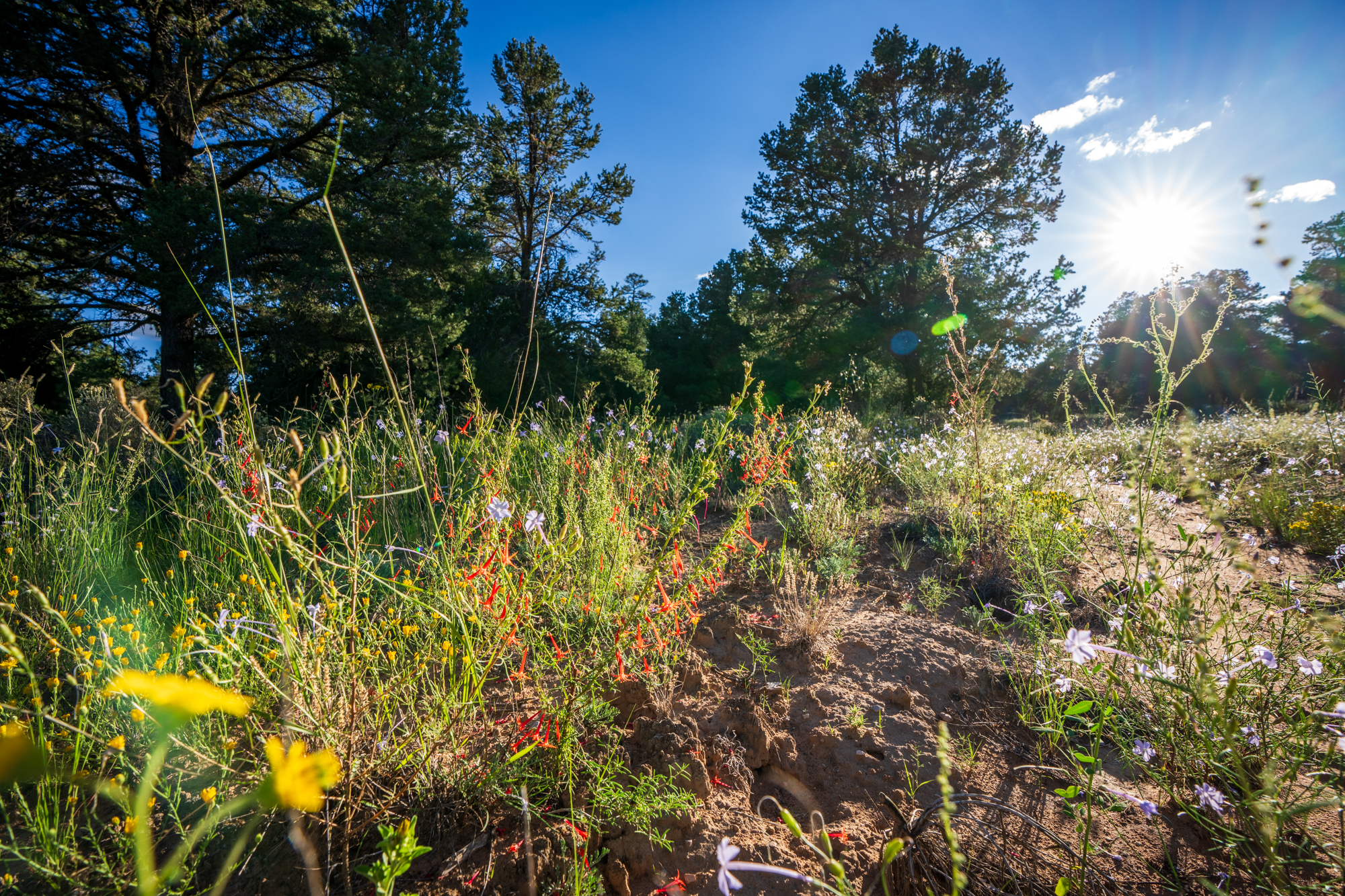
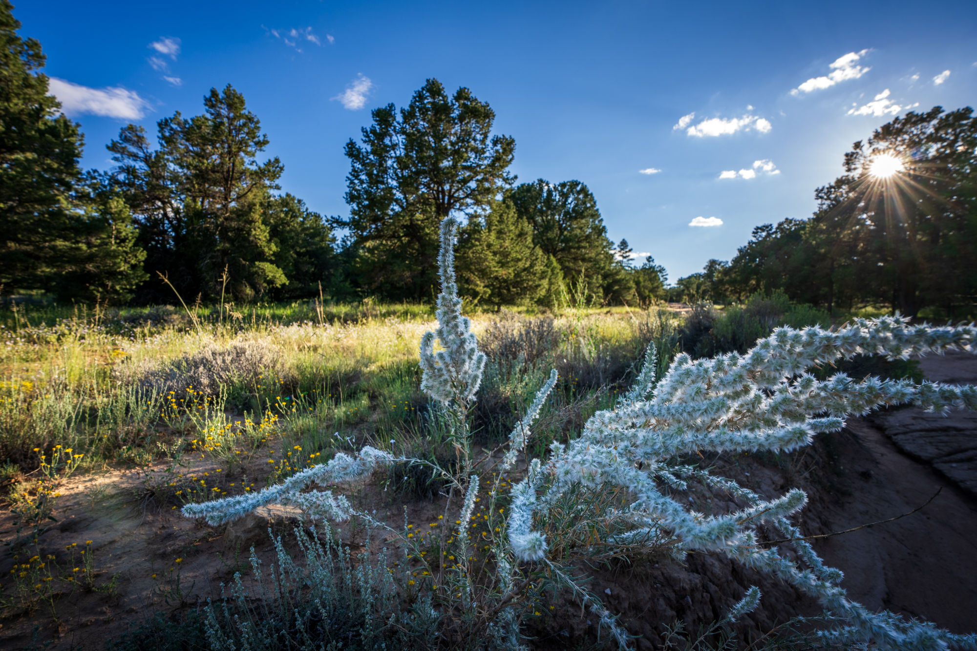
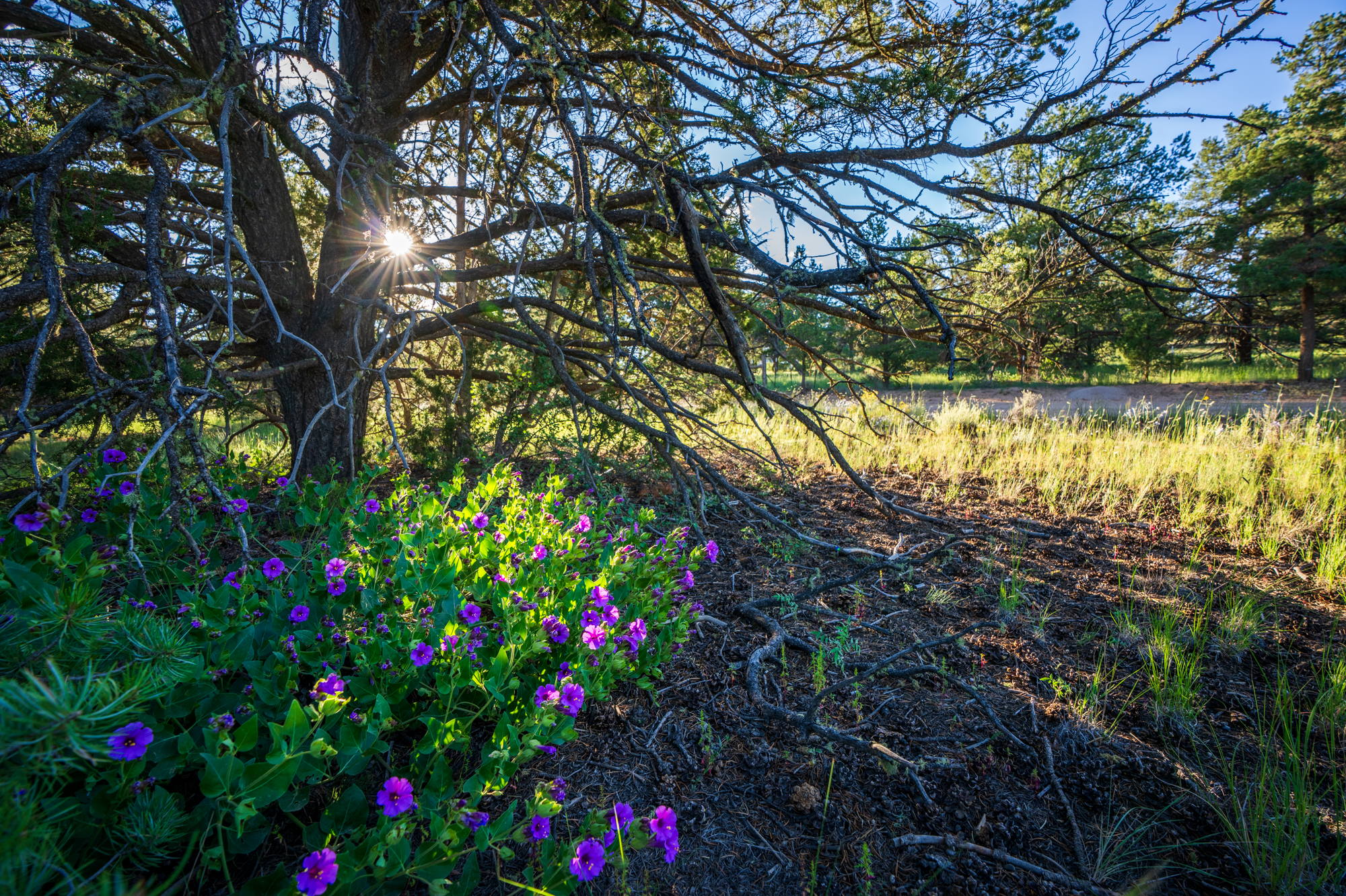
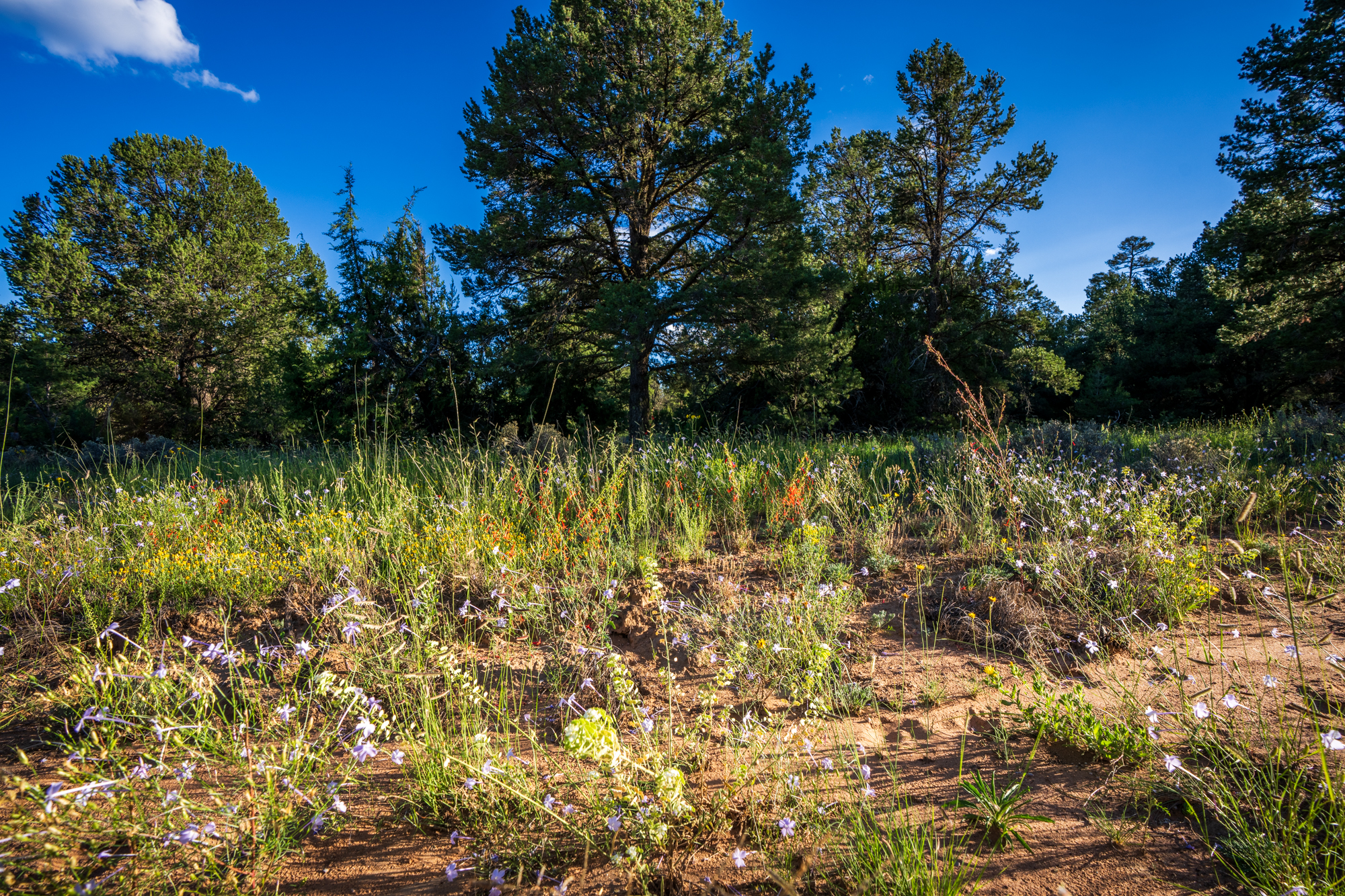
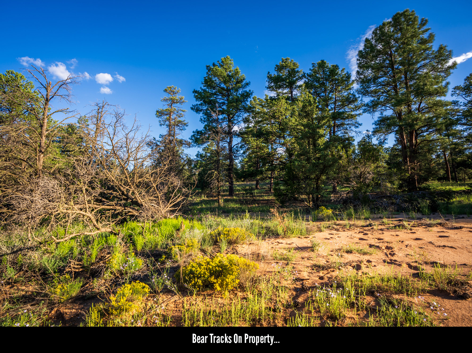
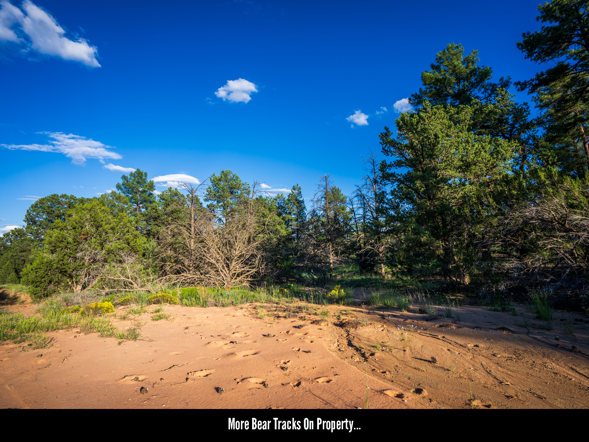
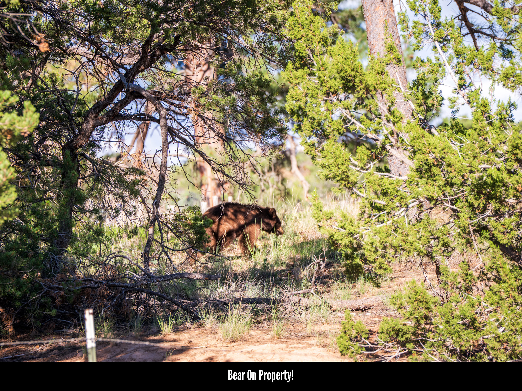
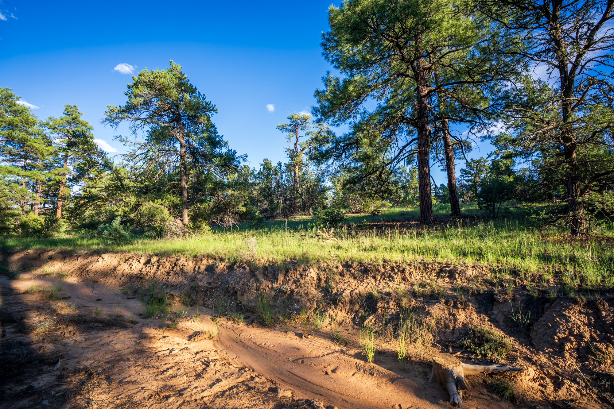
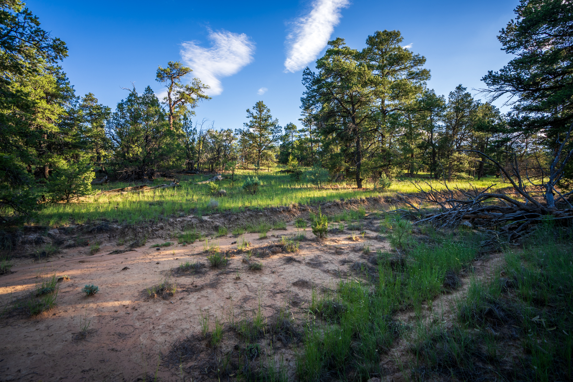
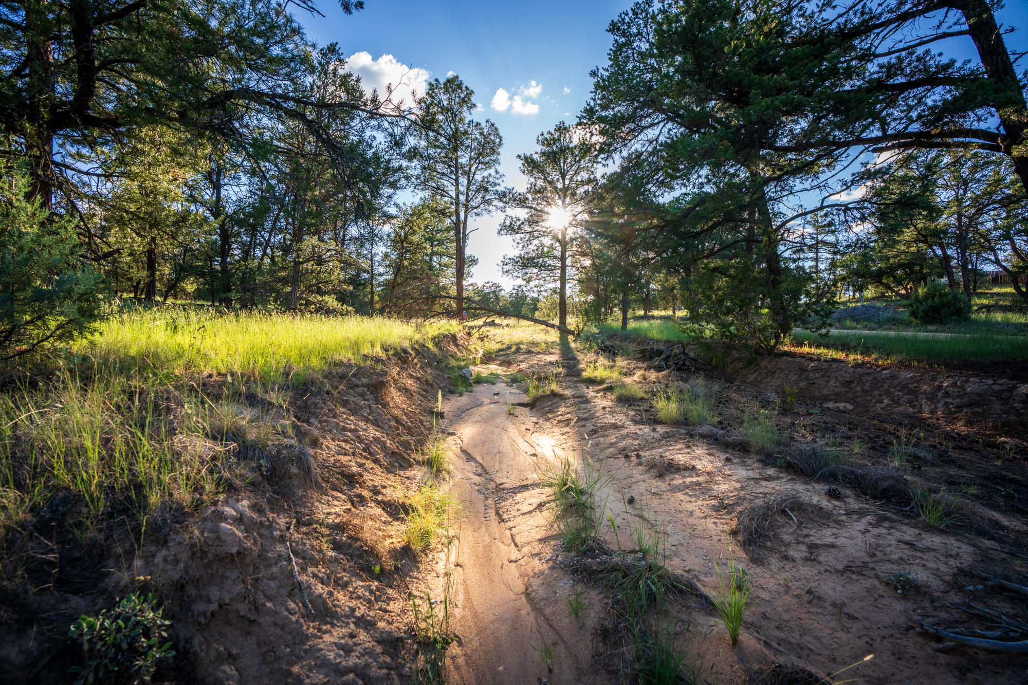
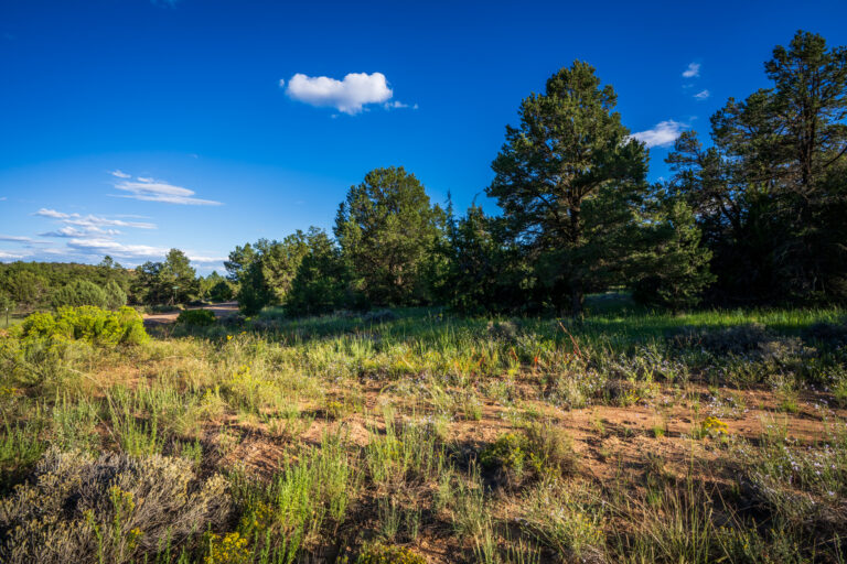
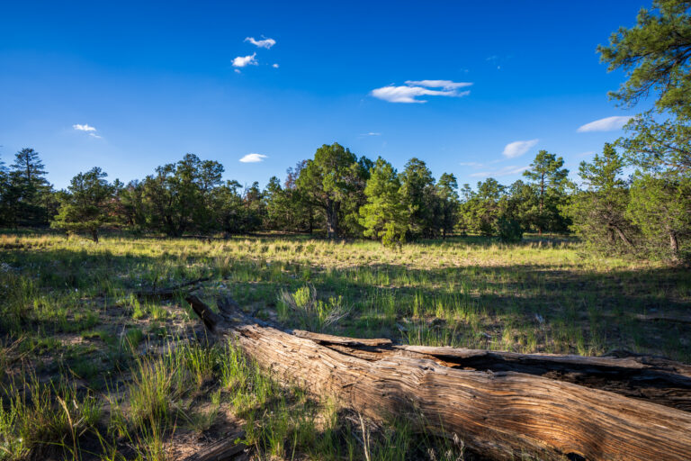
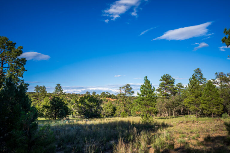
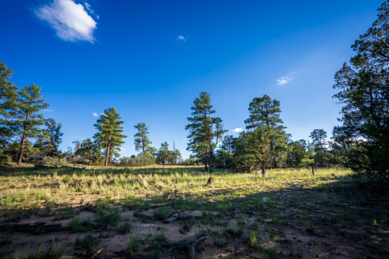
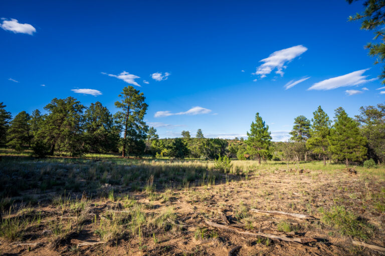
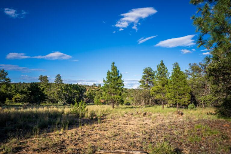
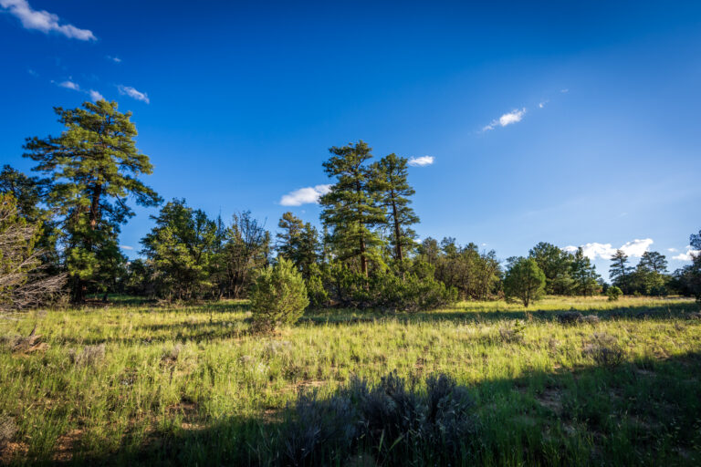
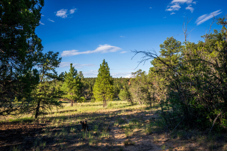
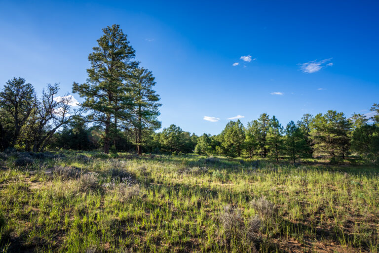
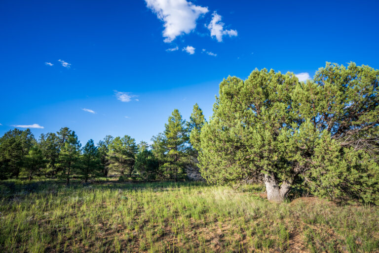
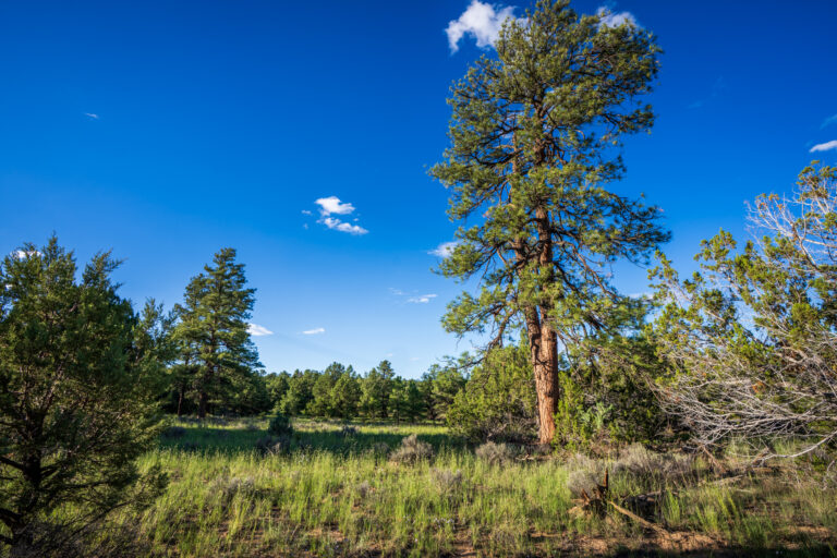
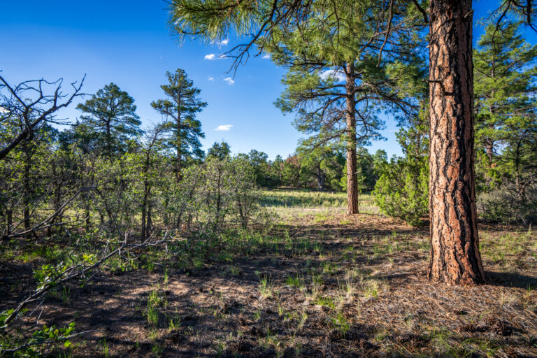
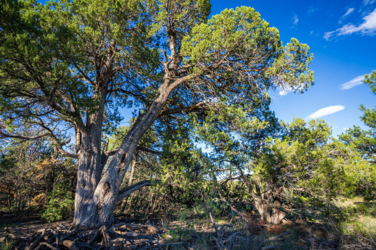
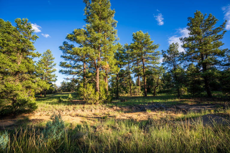
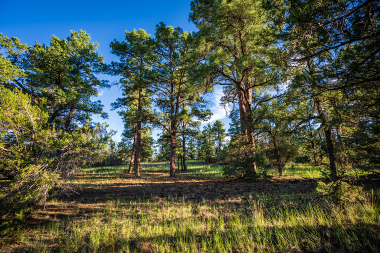
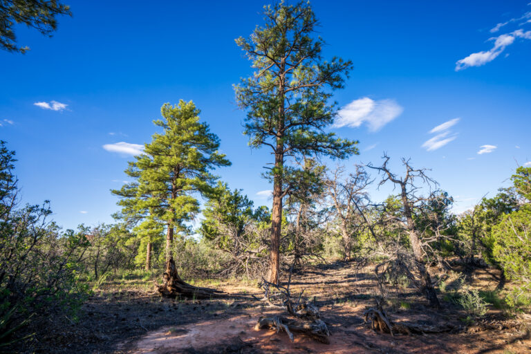
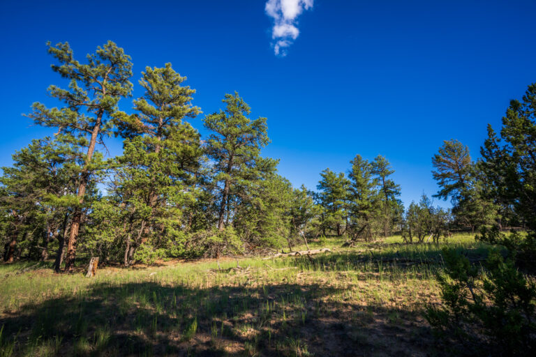
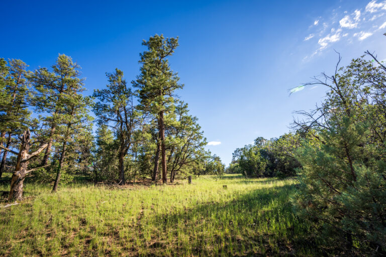
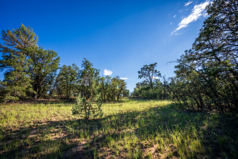
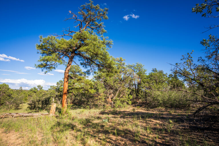
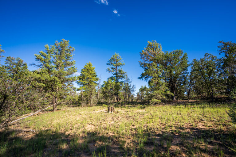
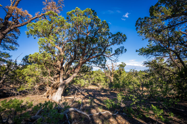
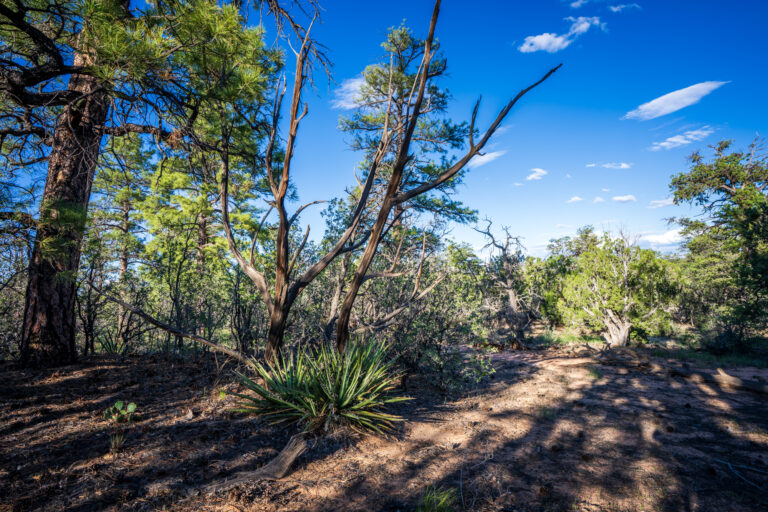
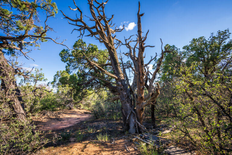
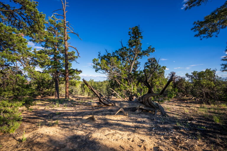
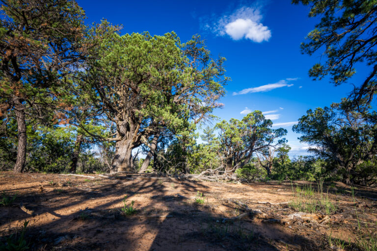
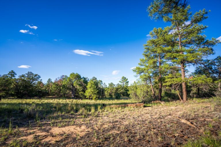
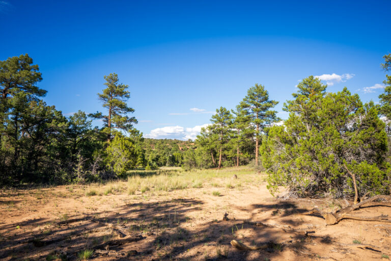
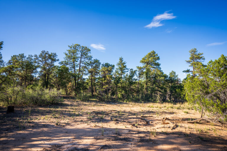
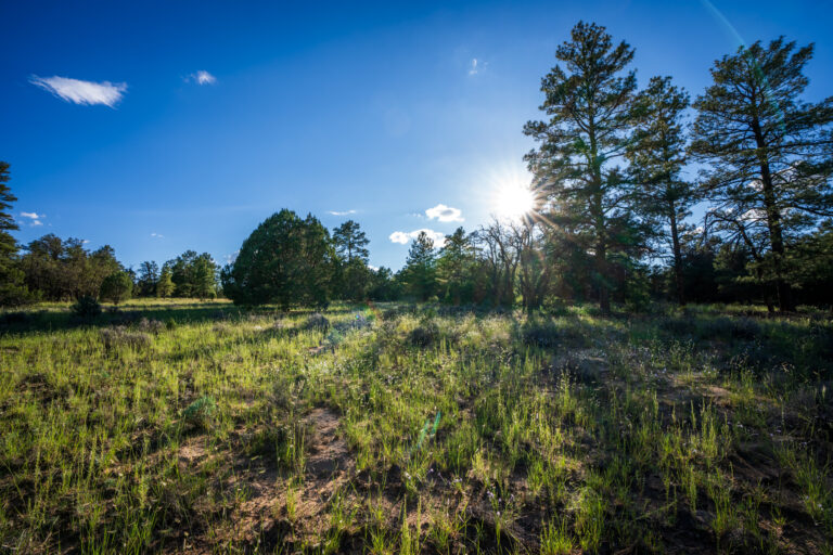
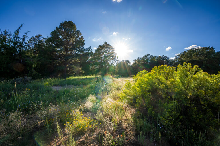
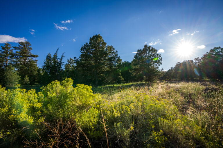
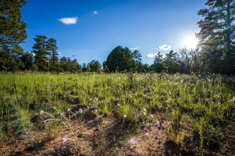
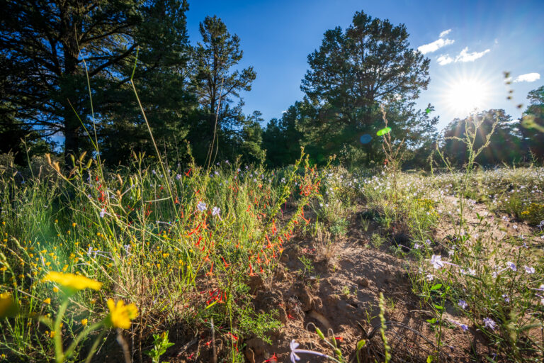
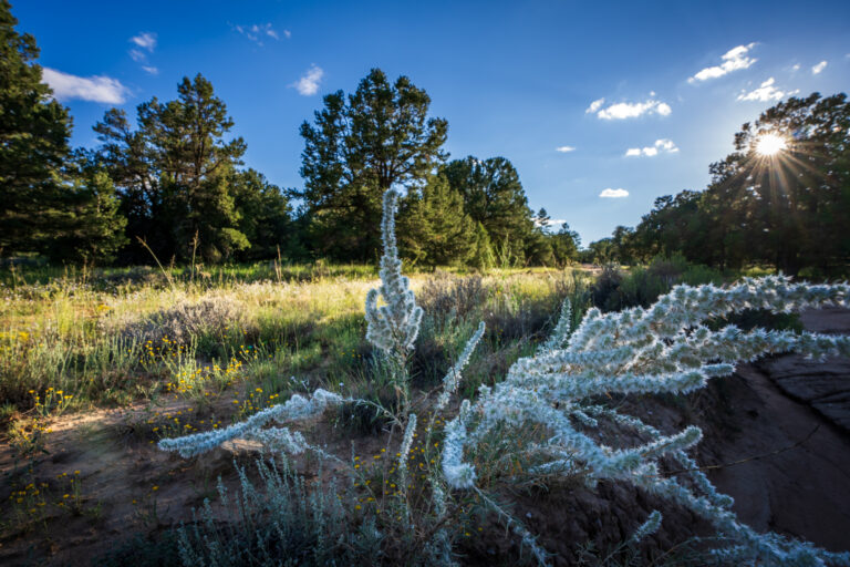
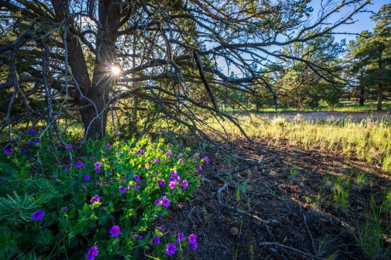
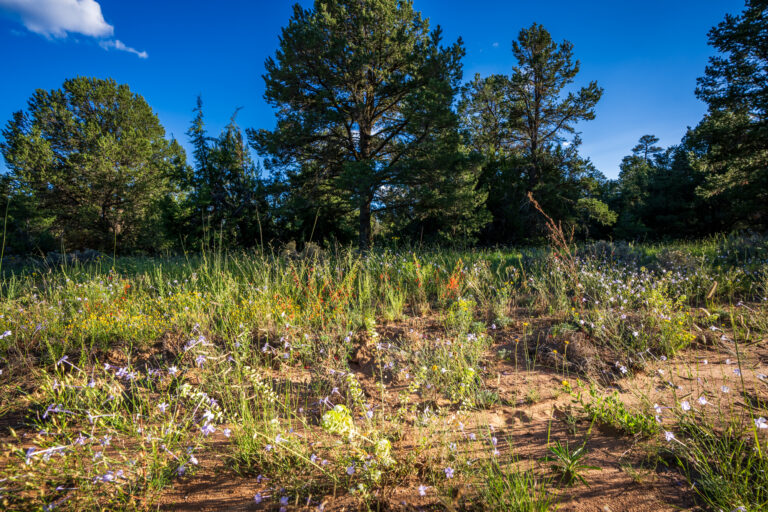
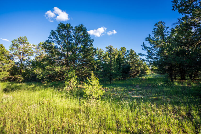
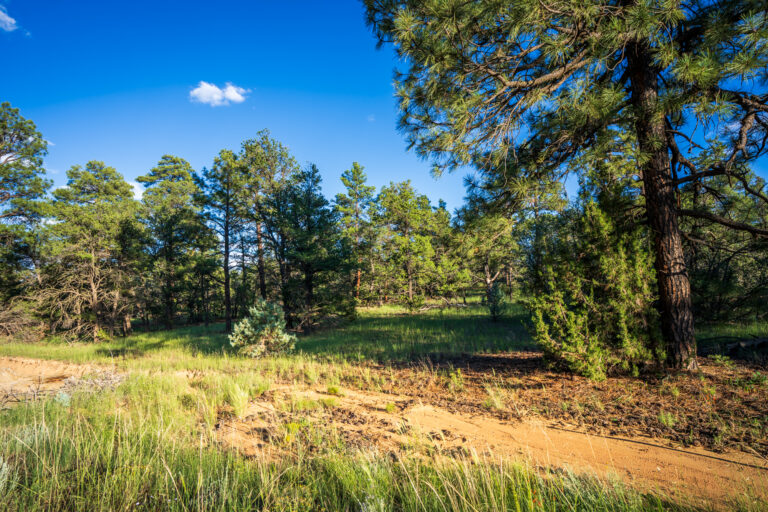
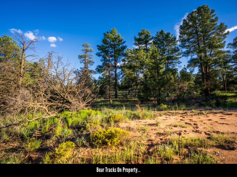
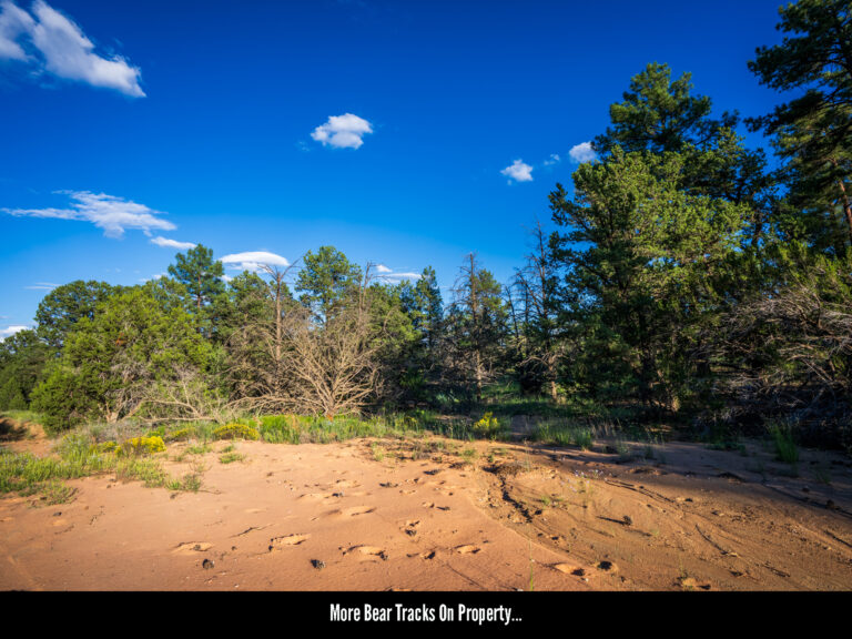
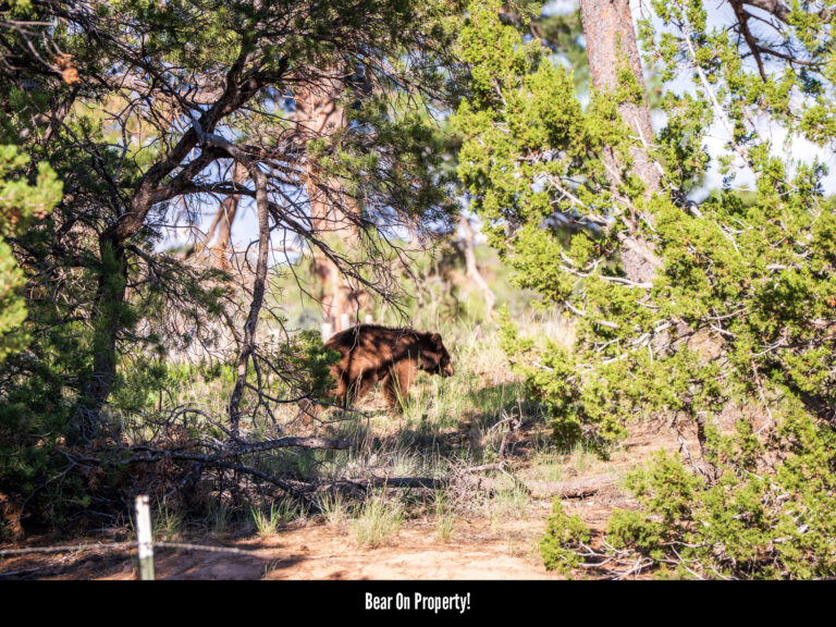
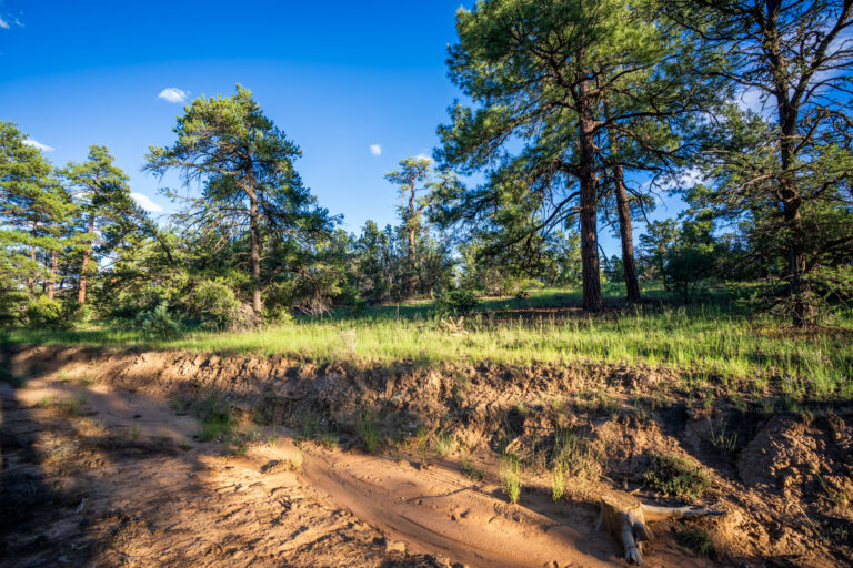
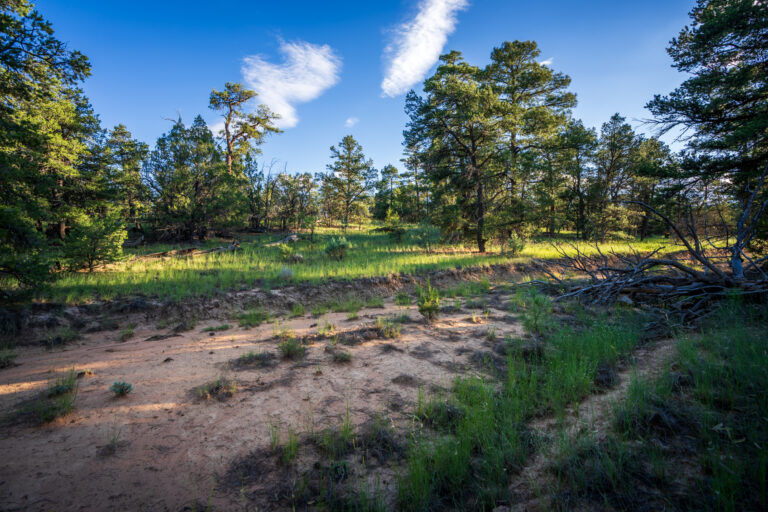
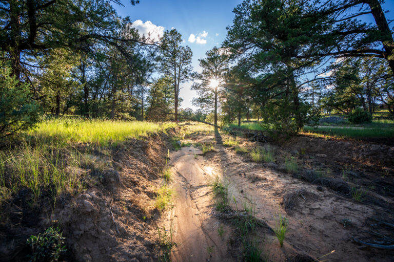
Topography: The subject property is a largely level piece of terrain boasting equal parts flat cut-out areas perfect for parking, camping and building, as well as forested areas consisting of pinion, juniper and ponderosa pine ideal for ensuring privacy.
Cibola National Forest: The subject parcel sits in close proximity to the over 300,000 acres of land that make up the Cibola National Forest. This makes the property ideal for seasonal hunting cabins as well as those looking to take advantage of the elk, mule deer, wild turkey and other species that make this area one of the premier hunting destinations in the state.
Hunting: The subject property is located in Game Management Unit 12, a region of the State known for its trophy quality elk and mule deer as well as wild turkey.
Ramah Lake: Flanked by sandstone cliffs, this hundred-acre body of water sits just a few miles north of the subject property and will offer plenty of hours of boating, fishing, kayaking, canoeing and general relaxation. In addition, it is an excellent area to hike, camp and enjoy picnics at.
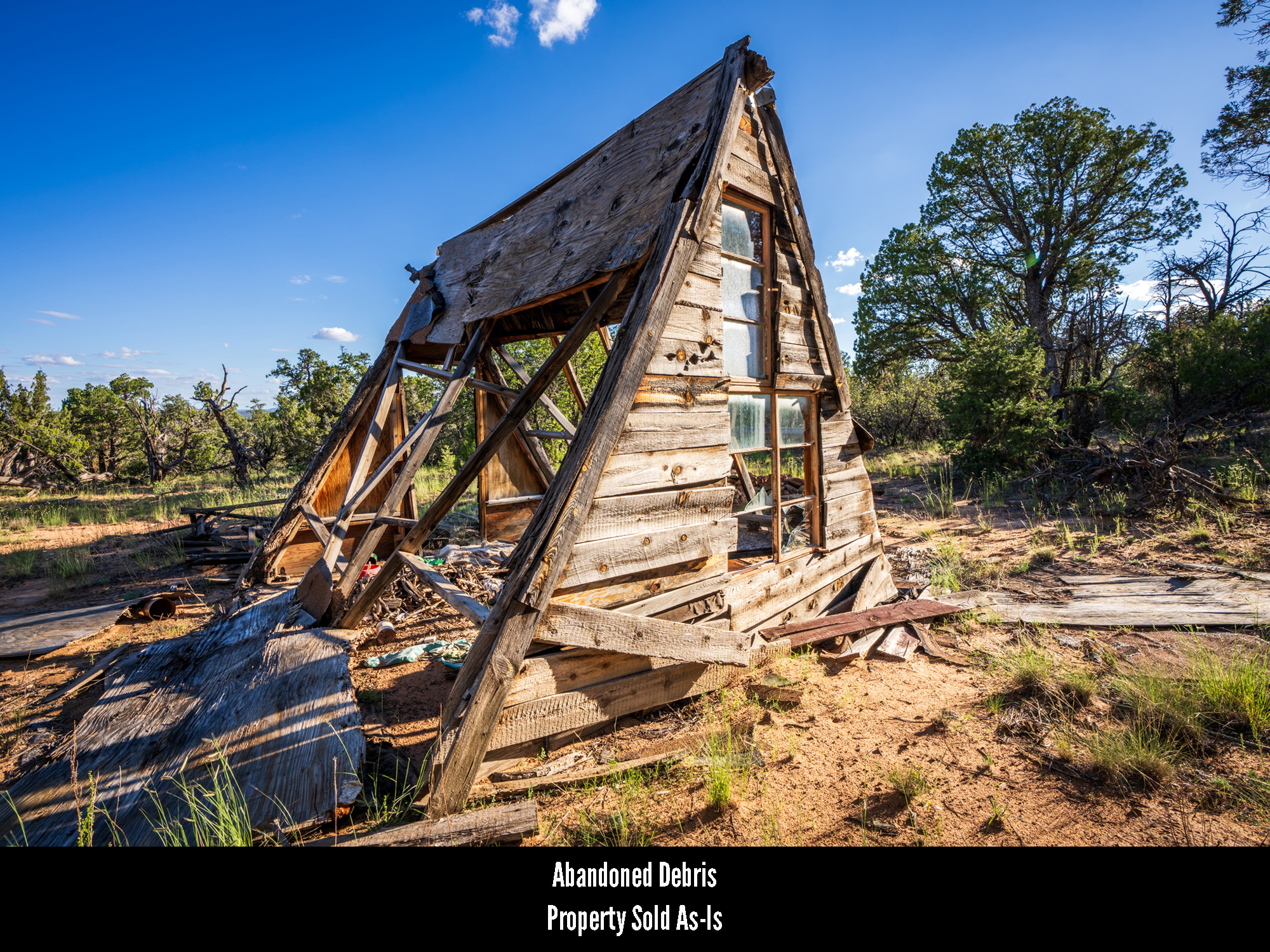
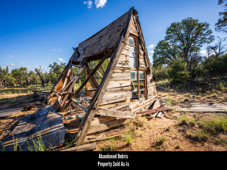
Remains Of Structure On Property: While most of the property is well kept and littered with little other than a fallen tree branch or two, the remains of the roof of a small structure – perhaps a cabin? – can be found at one end of the property. Because of this it should be noted that Hemingway Land sells all of our properties “as is” and anyone purchasing the land will become the owner of whatever remains on the property at the time of conveyance. As such, the new owner will be free to do with these structural remains as they see fit.
NEARBY TOWNS
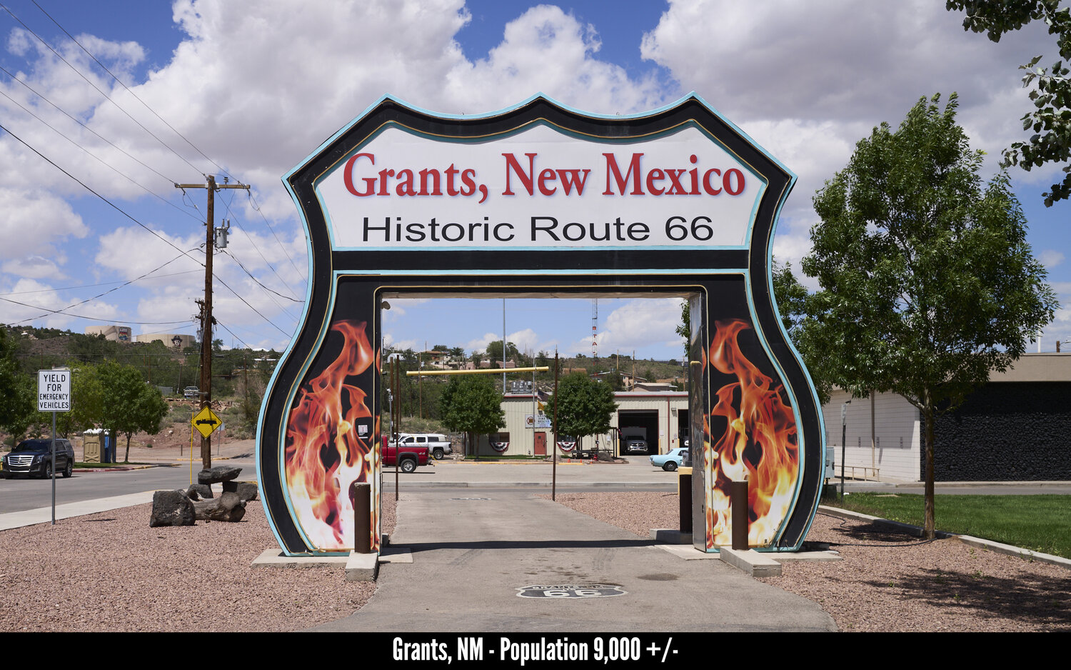
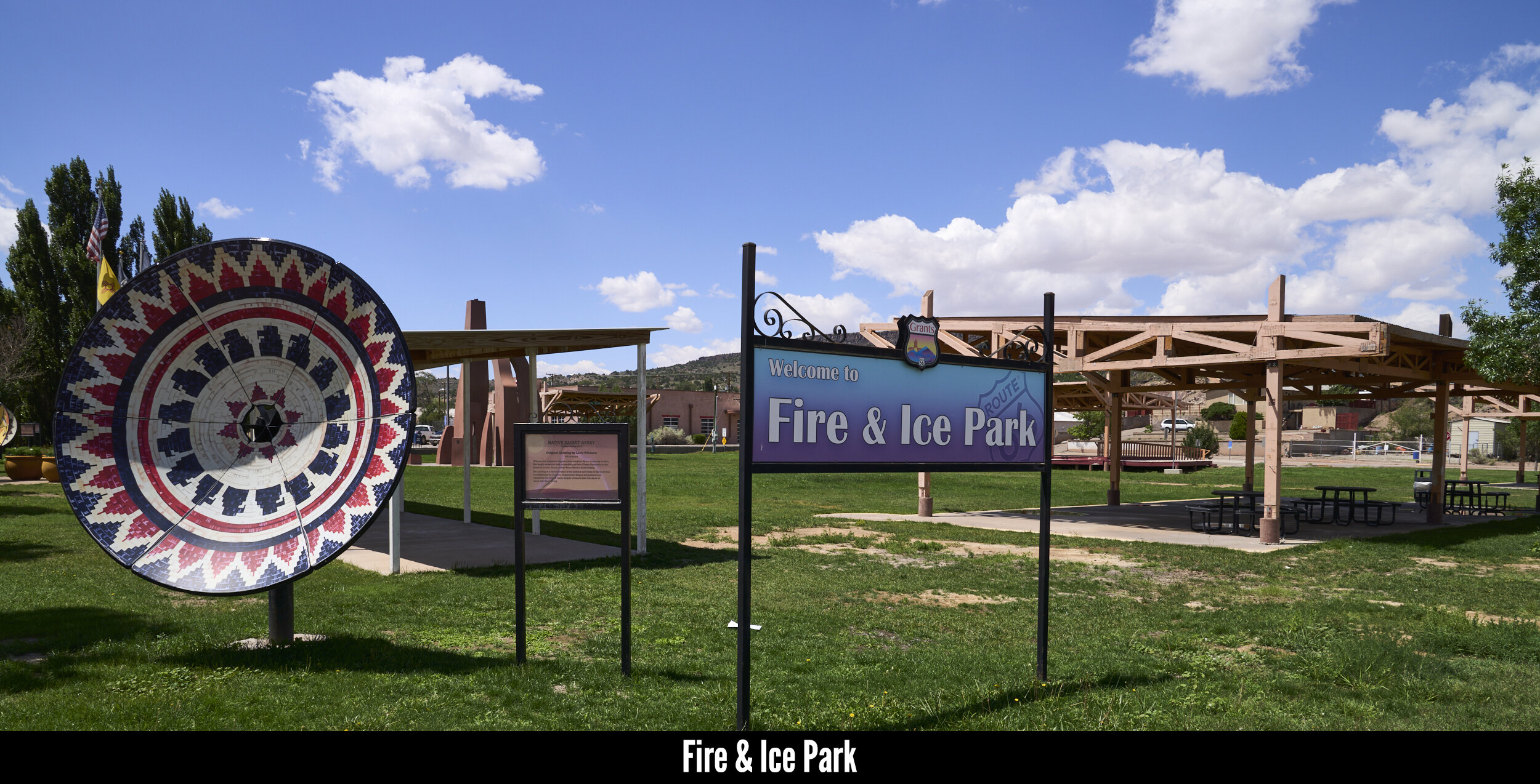
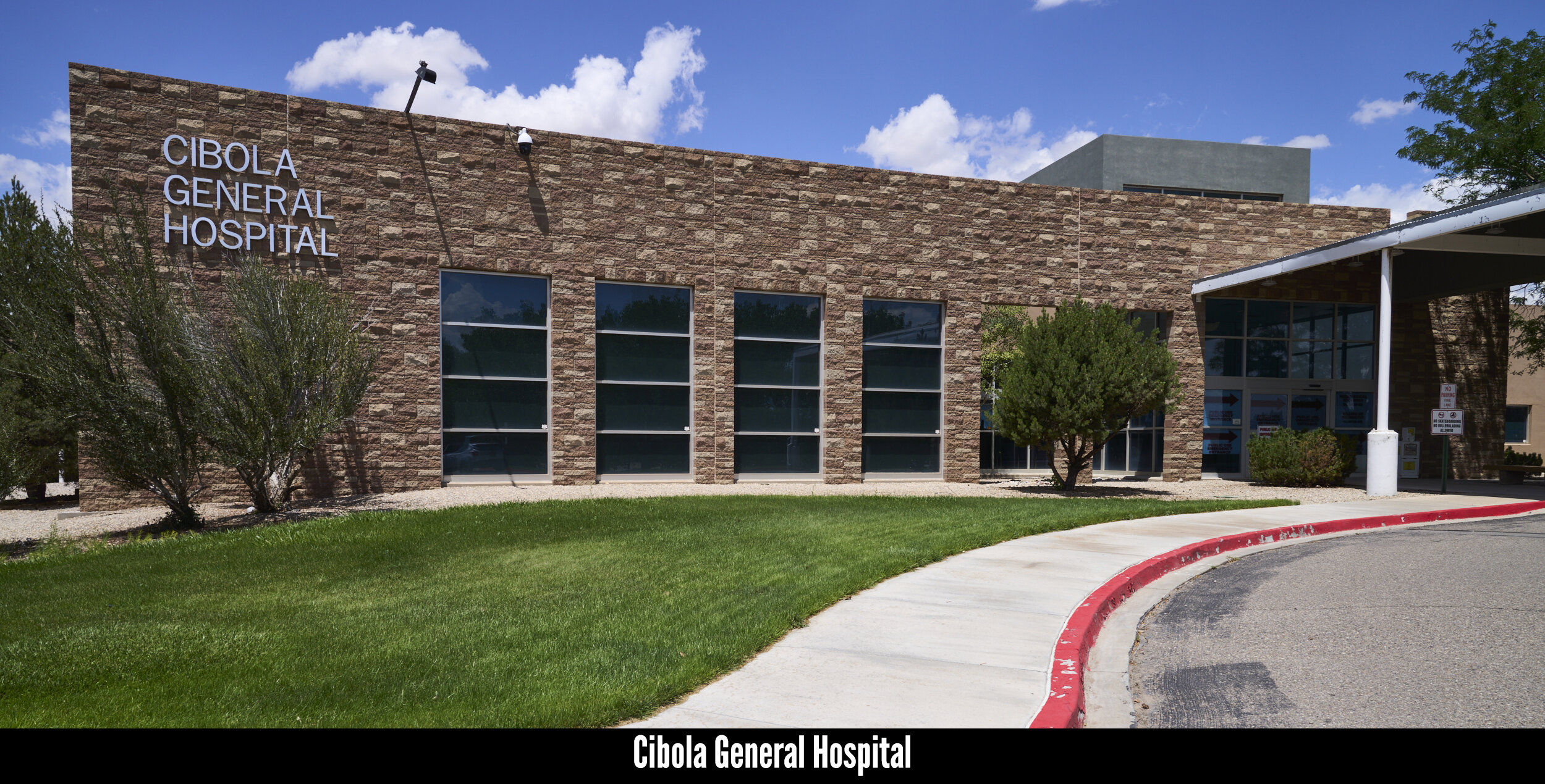
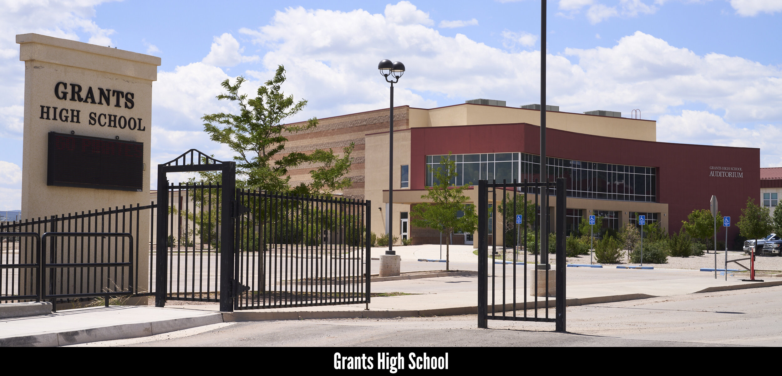
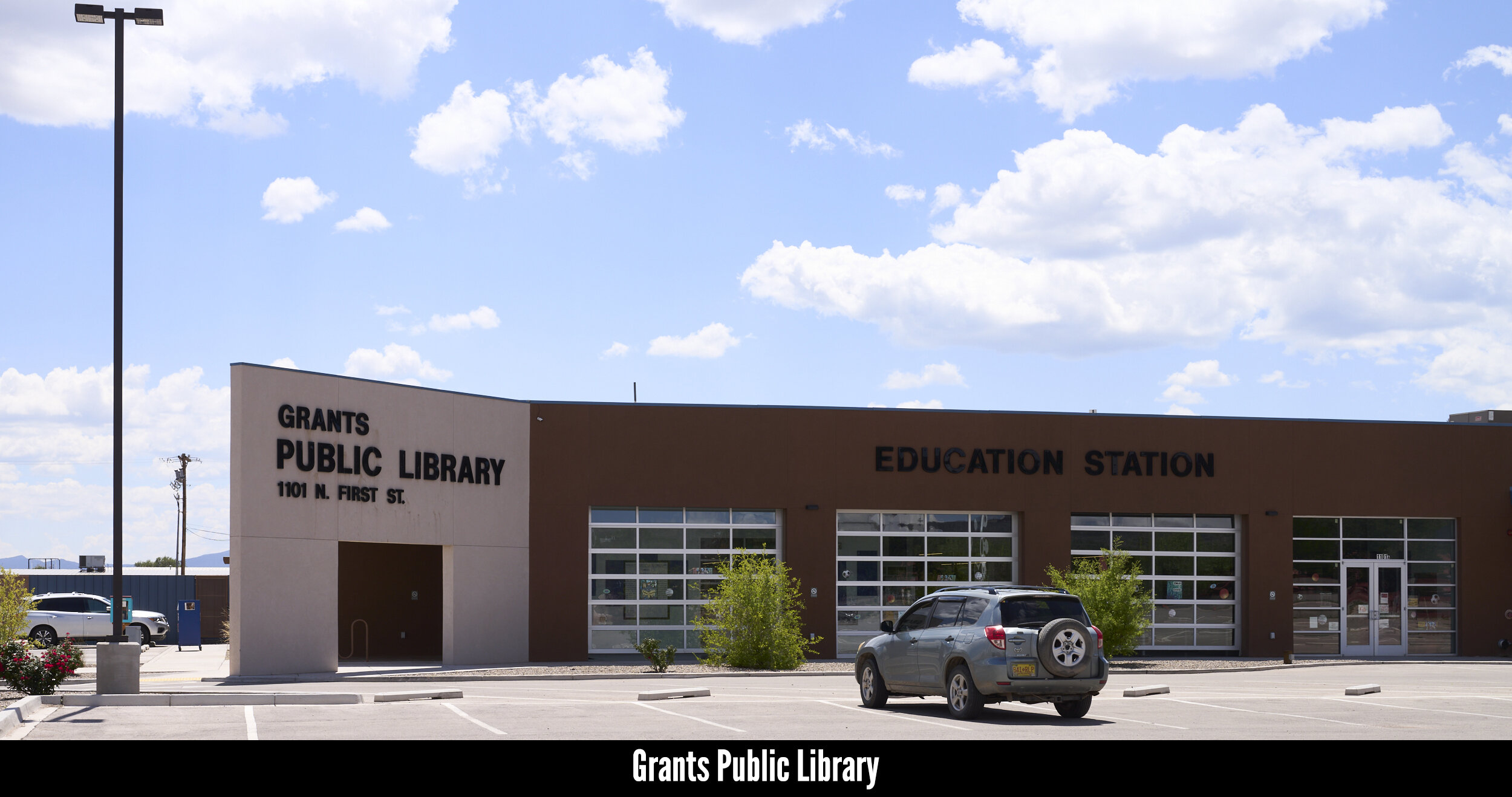
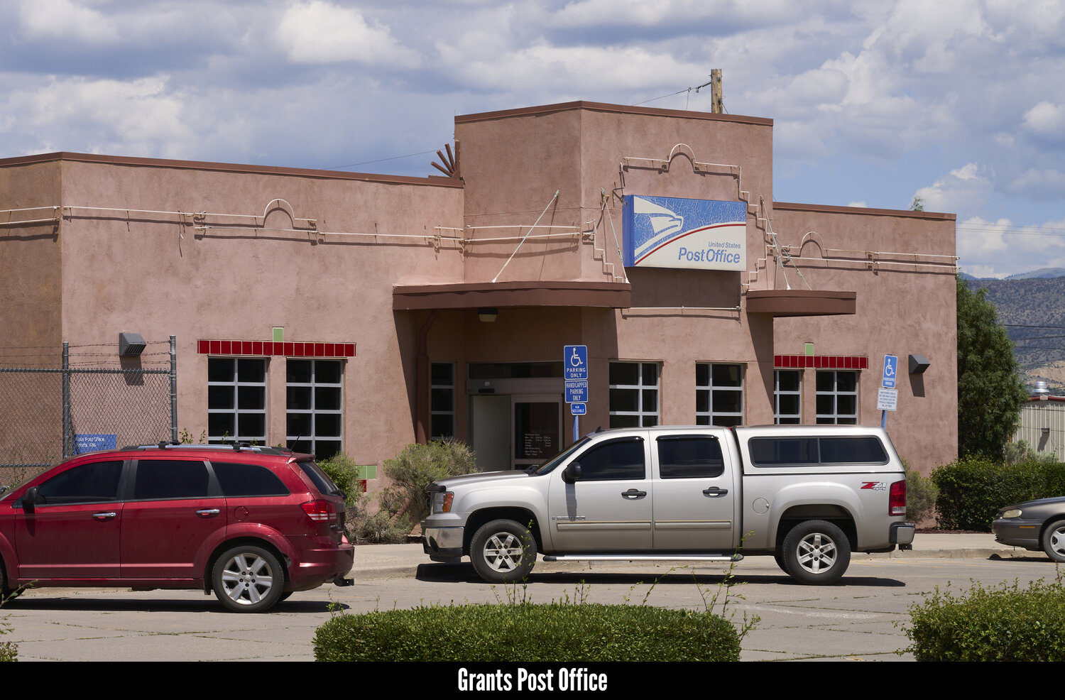
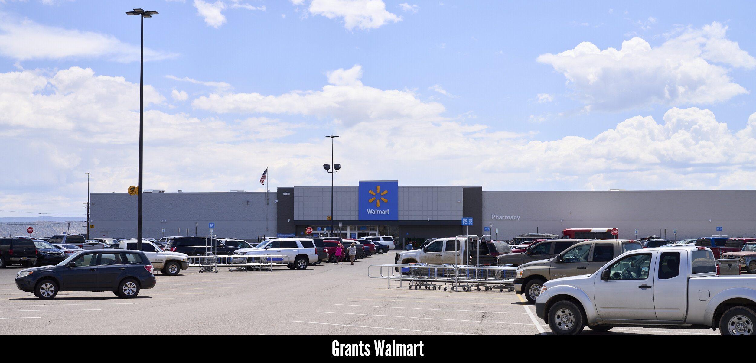
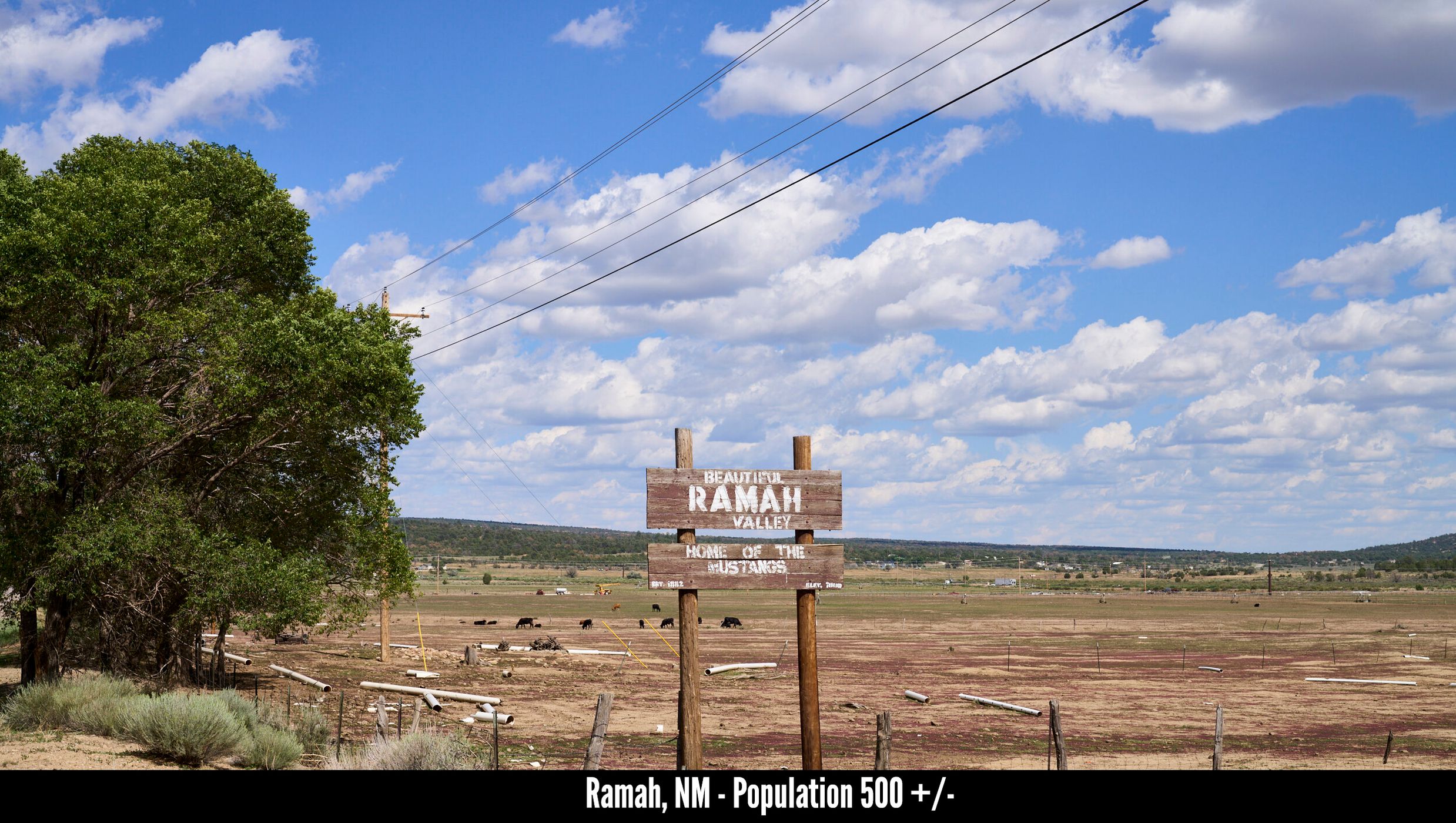
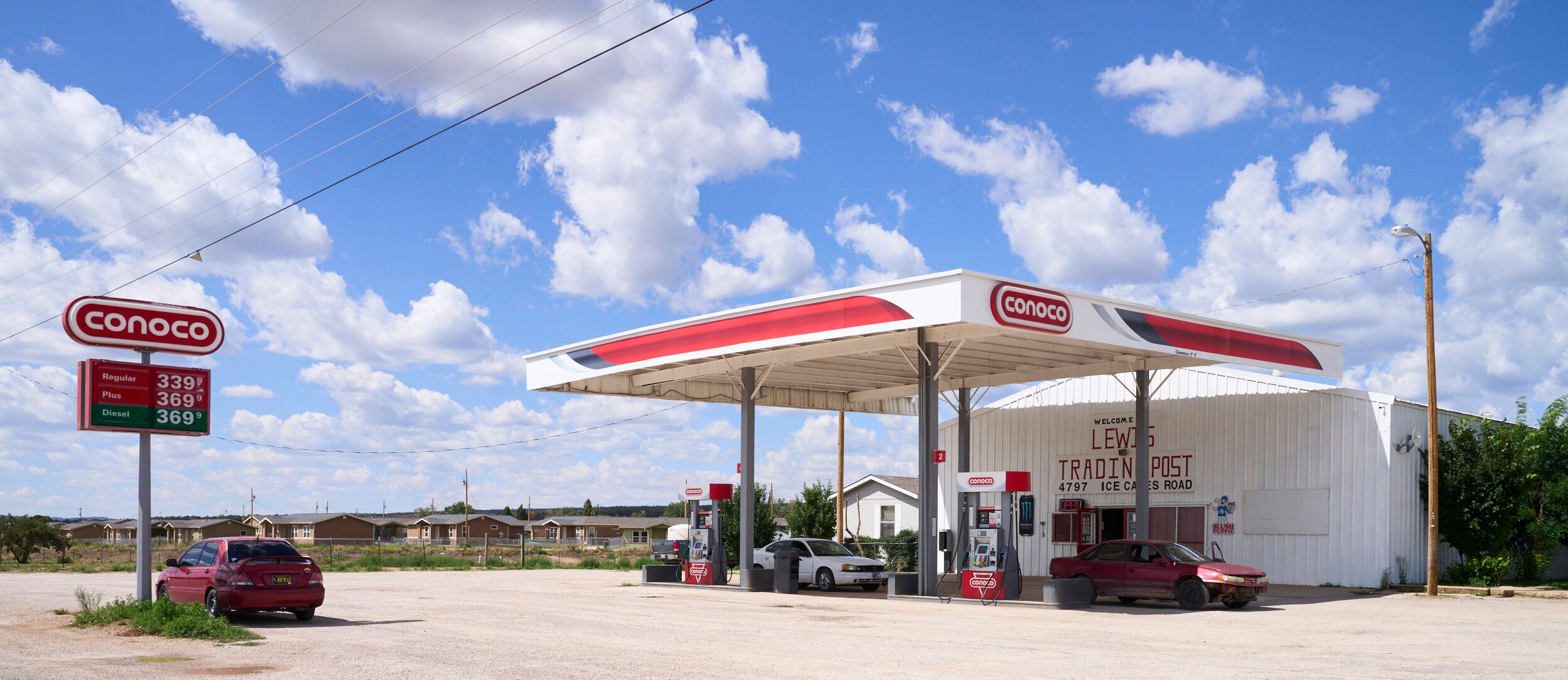
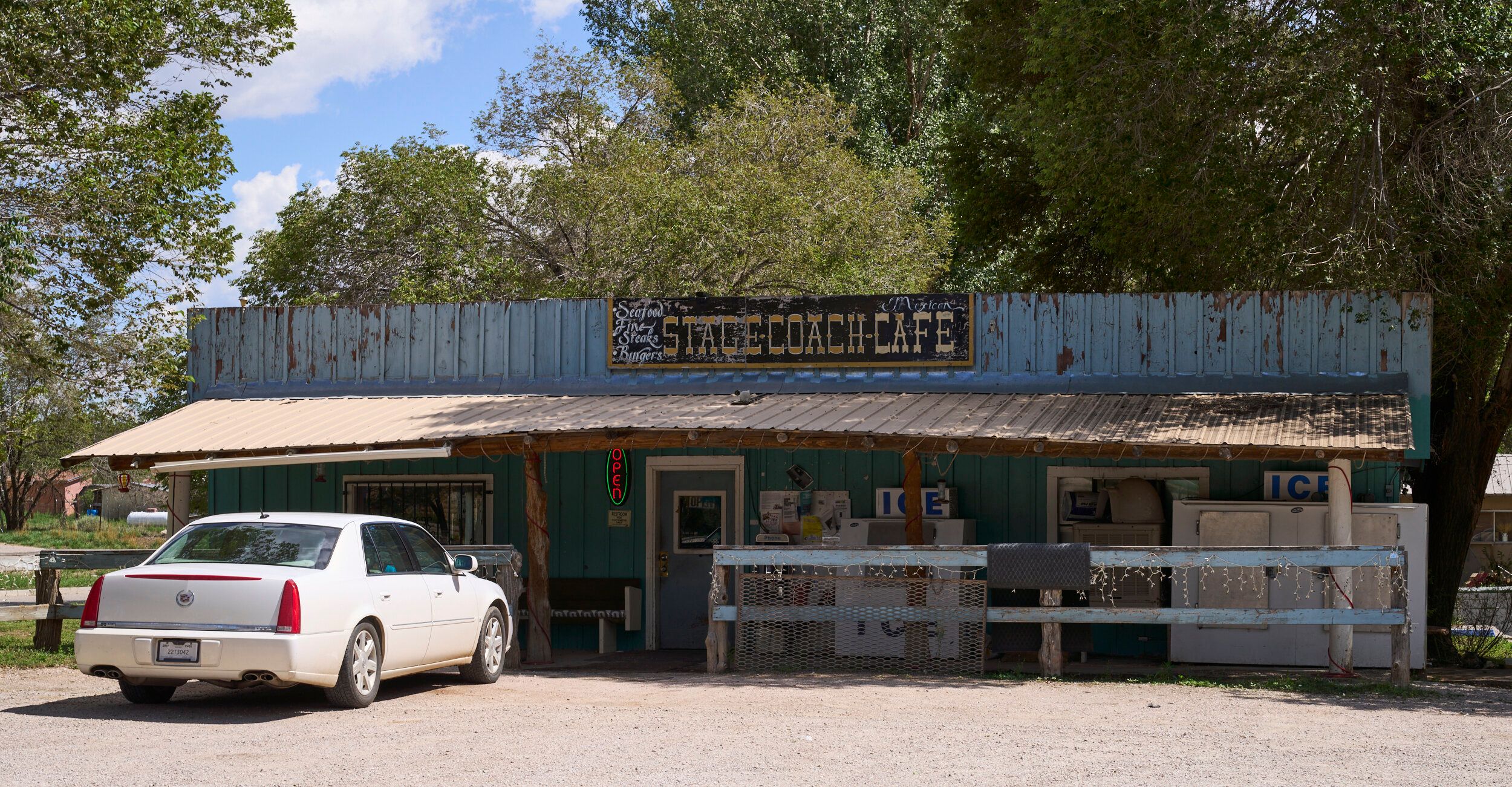
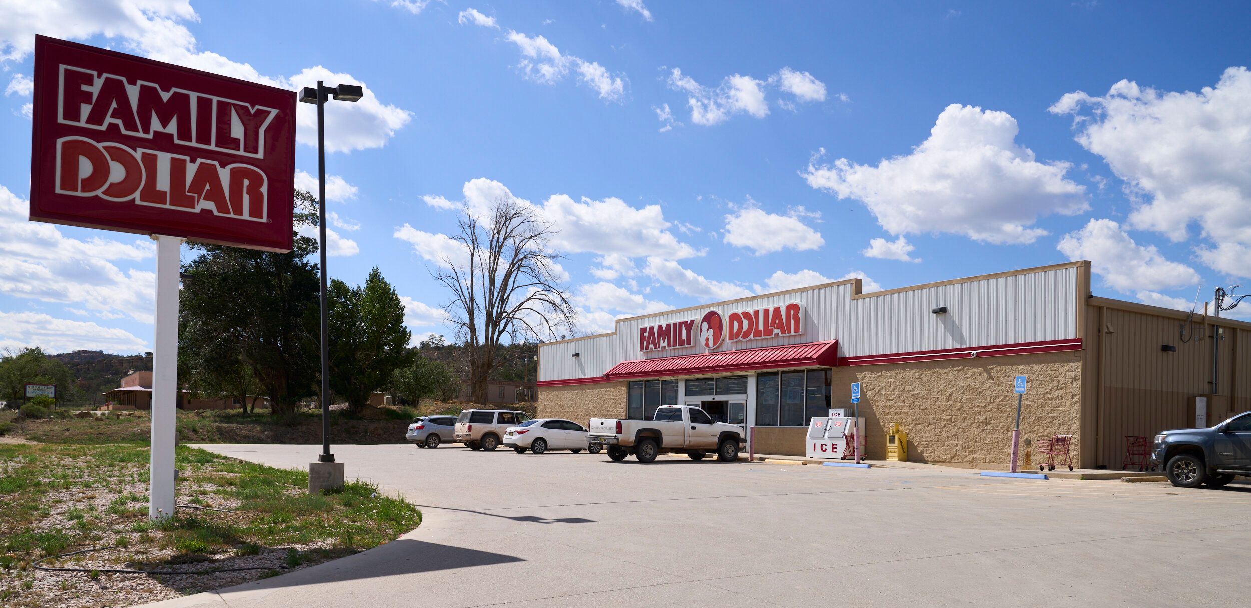
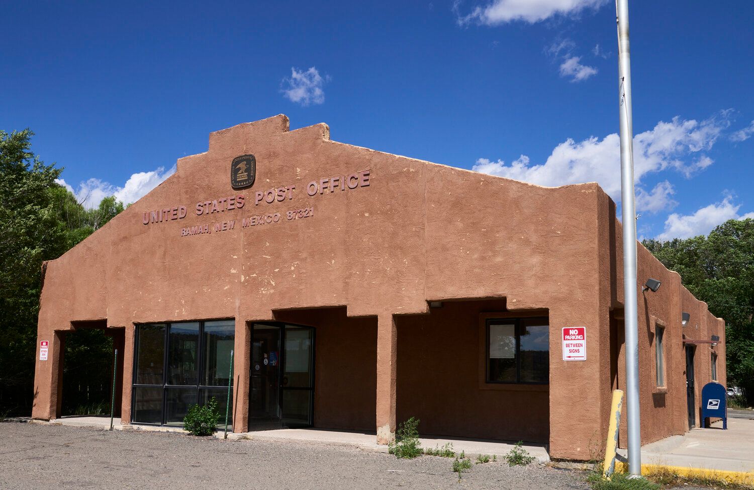
While small towns such as Ramah and Fence Lake sit within relatively close proximity of the subject property and will provide easy access to gas, convenience and some supply stores, the larger towns of Grants and Gallup (both roughly an hour away) will be your nearest source for most every day supplies. Grocery stores and Walmart Supercenters can be found in both towns, along with fast food chains and sit-down restaurants. While building supply stores can also be found in both, Home Depot only has a presence in Gallup. Each town boasts a Municipal Airport as well as medical facilities such as the Cibola General Hospital in Grants and the Rehoboth McKinley Christian Healthcare Center in Gallup. It is only Gallup, however, which features recreational gambling such as the Fire Rock Casino.
Grants: 61 miles (1 h 17 min)
Gallup: 66 miles (1 h 22 min)
Albuquerque: 137 miles (2 h 22 min)
Los Lunas: 139 miles (2 h 27 min)
Rio Rancho: 143 miles (2 h 21 min)
NEARBY ATTRACTIONS
In addition to the Cibola National Forest, there are a number of scenic National and State Parks within easy driving distance of the subject property. Those parks include – but are not limited to – the El Malpais National Monument, El Morro National Monument, Bluewater Lake State Park, Ramah Reservoir, the Ice Caves & Bandera Volcano and Quemado Lake.
El Morro National Monument (Click Here)
El Malpais National Monument (Click Here)
Acoma Pueblo (Click Here)
Wild Spirit Wolf Sanctuary (Click Here)
San Estevan Del Rey Mission Church (Click Here)
Ice Cave & Bandera Volcano (Click Here)