LOCATION & SIZE
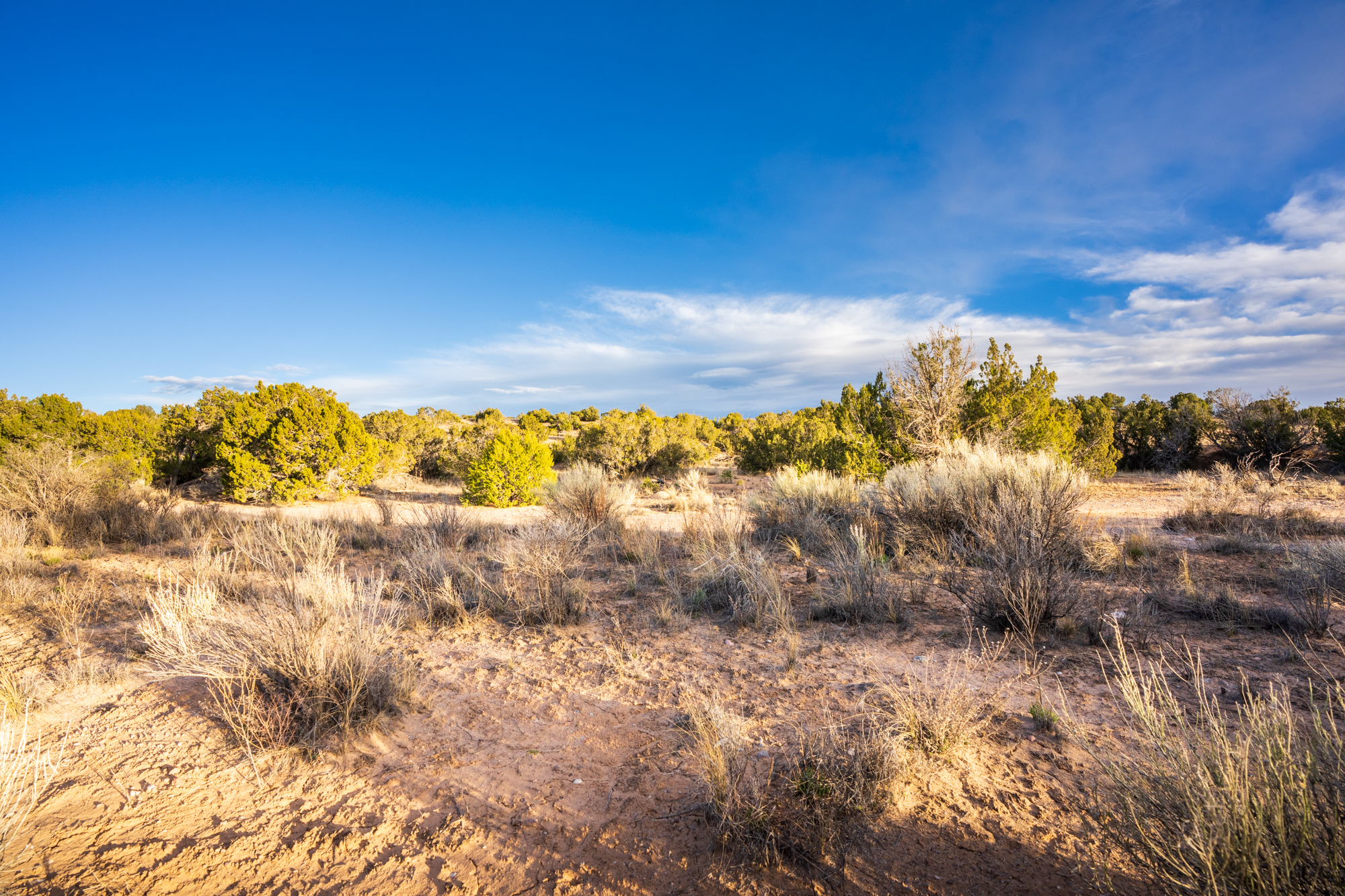
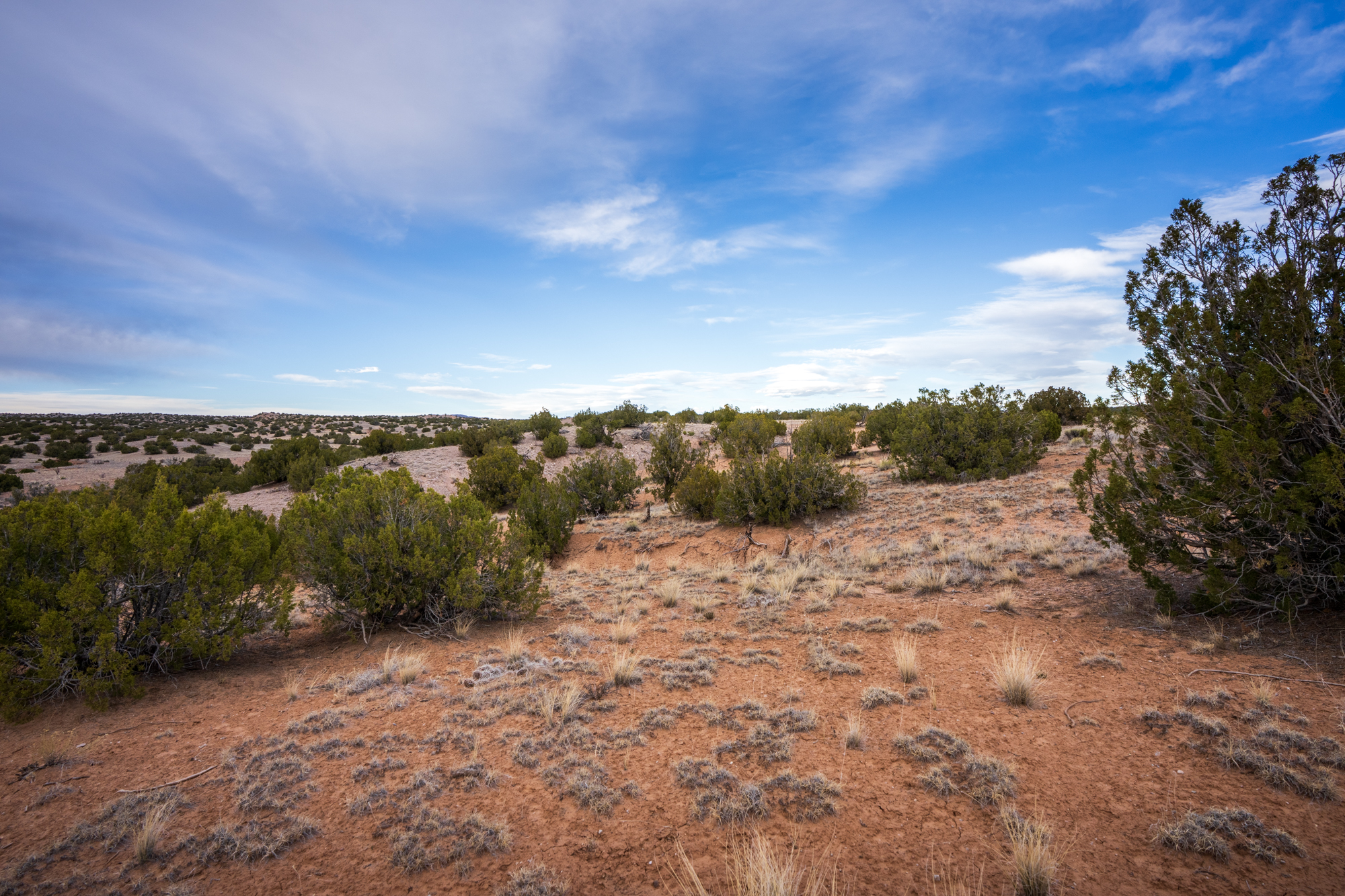
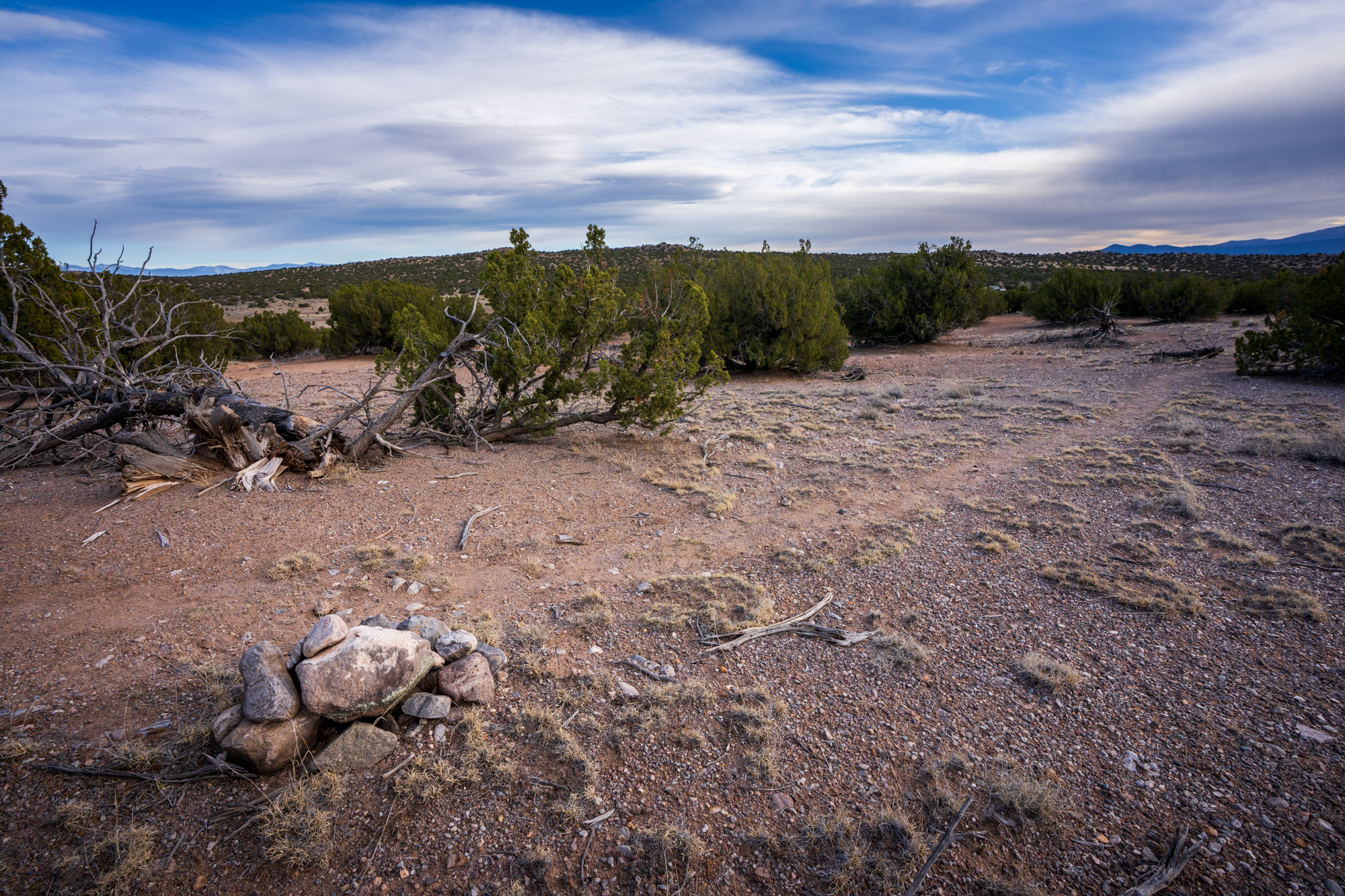
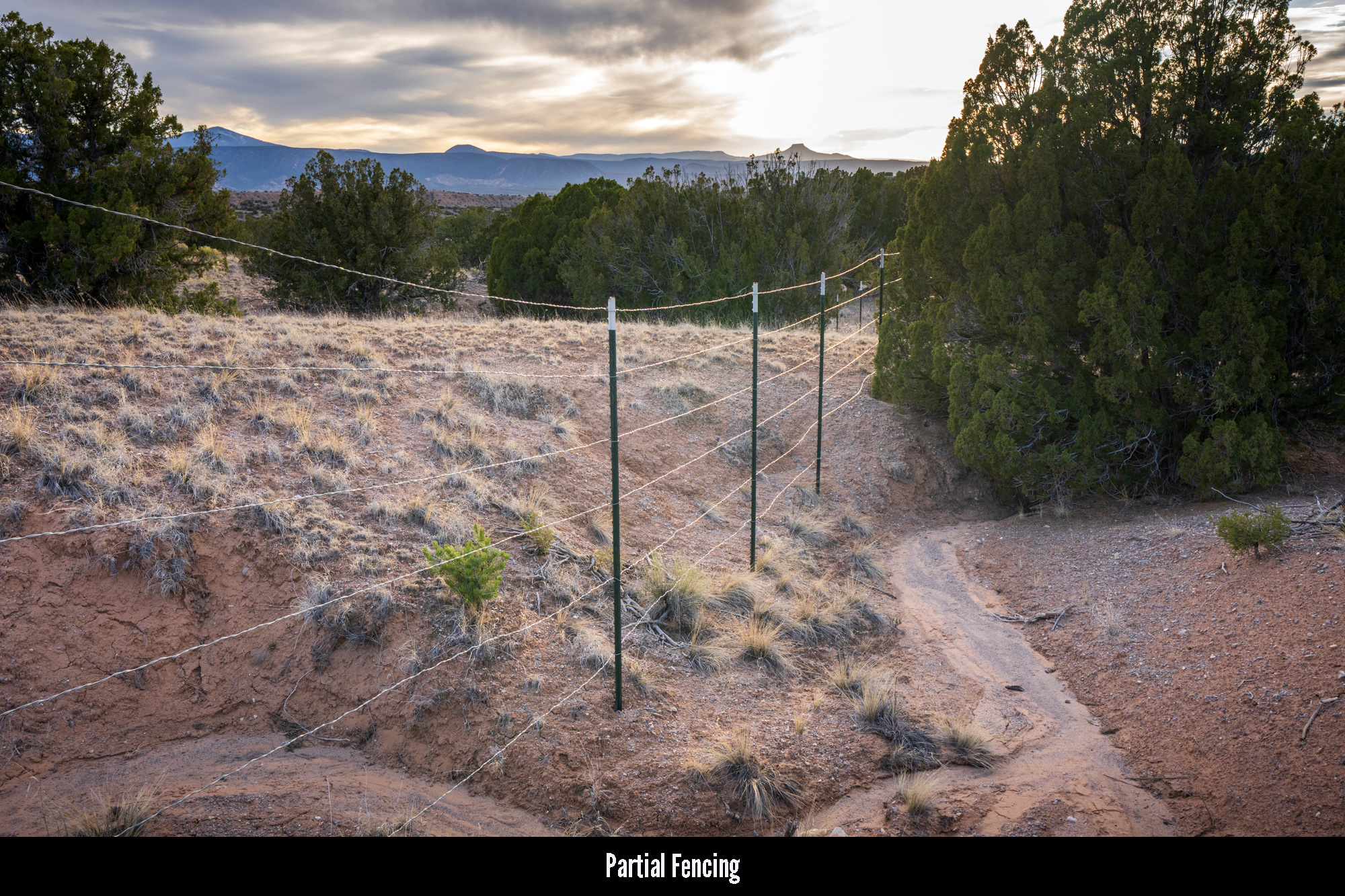
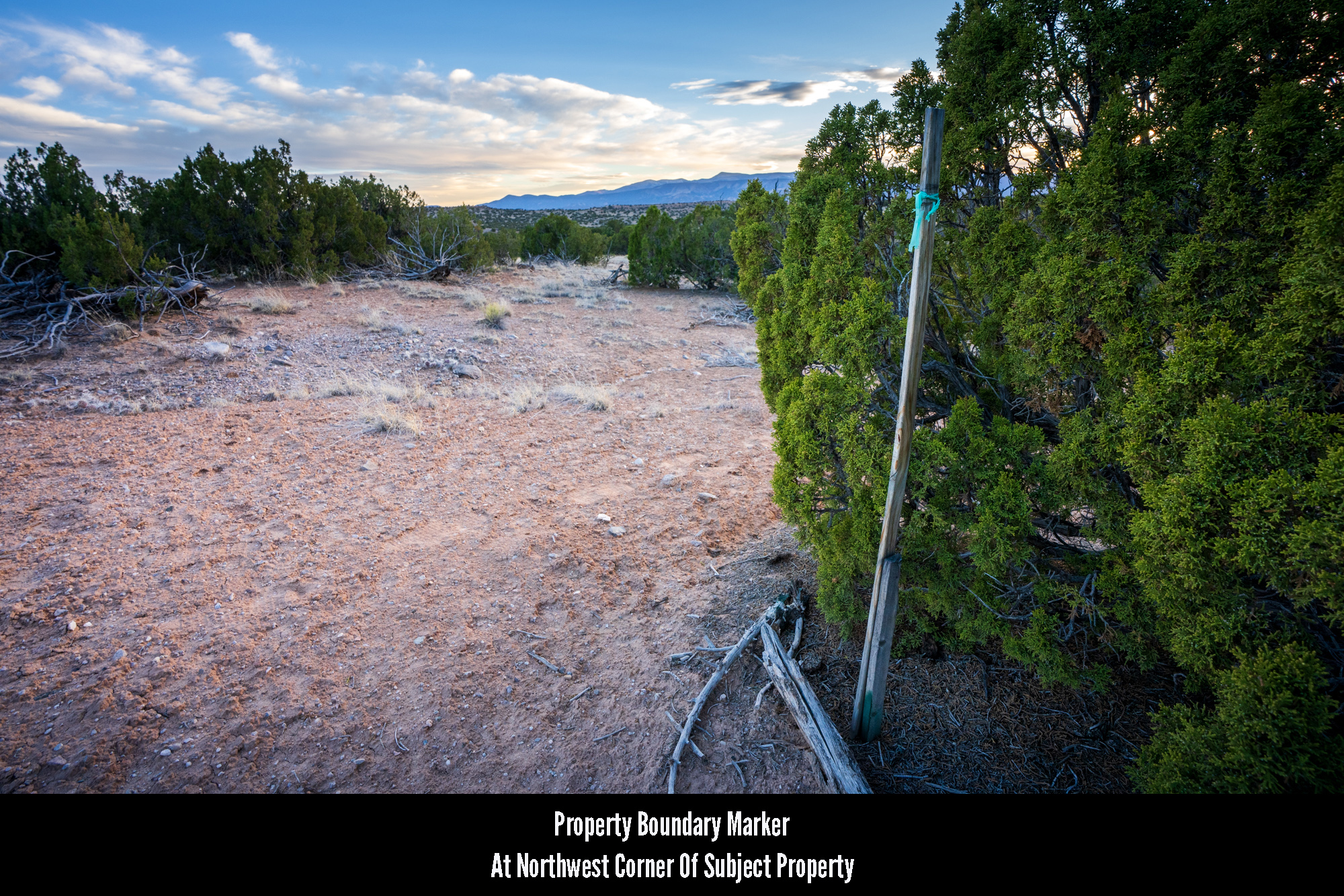
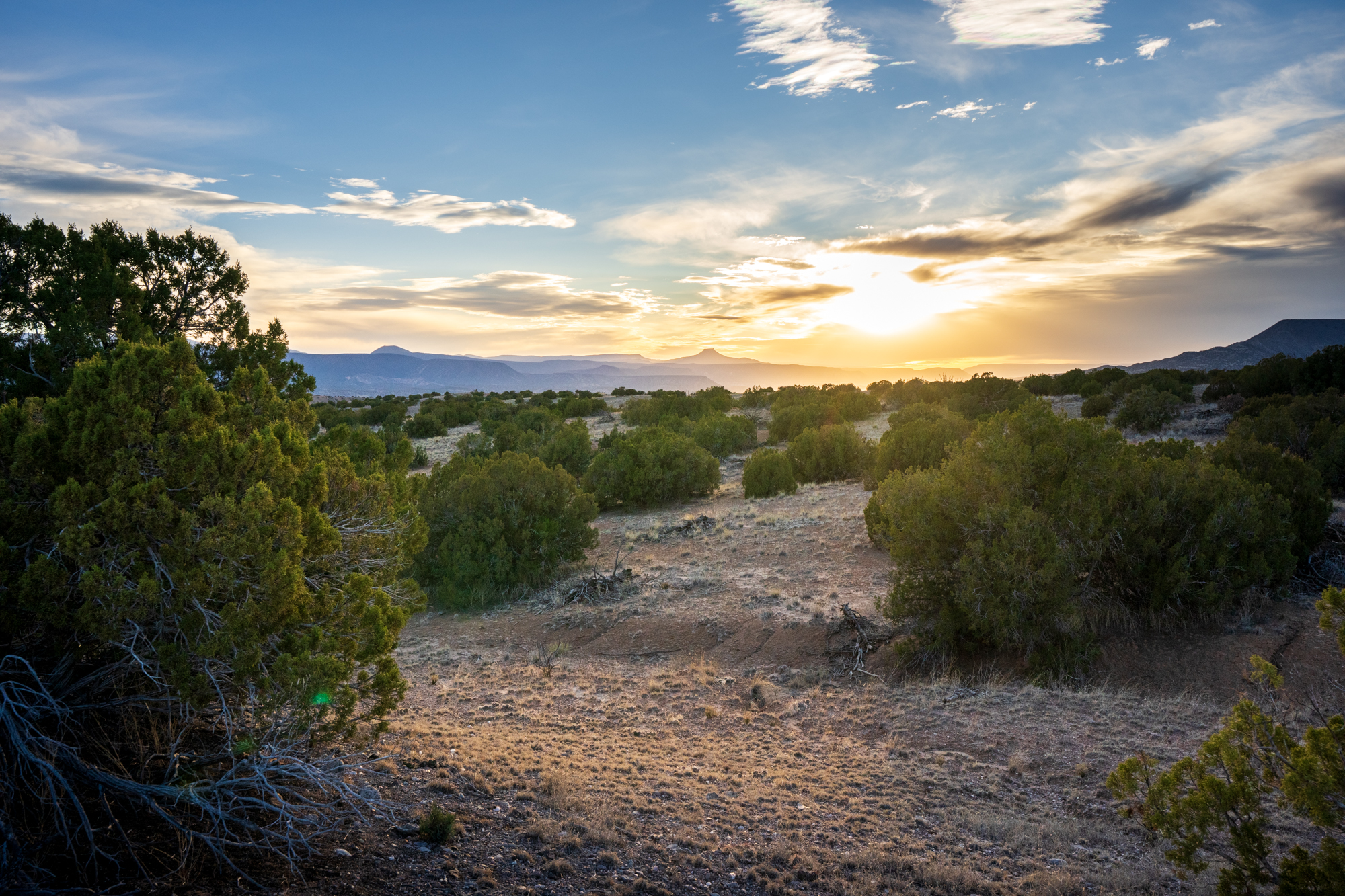
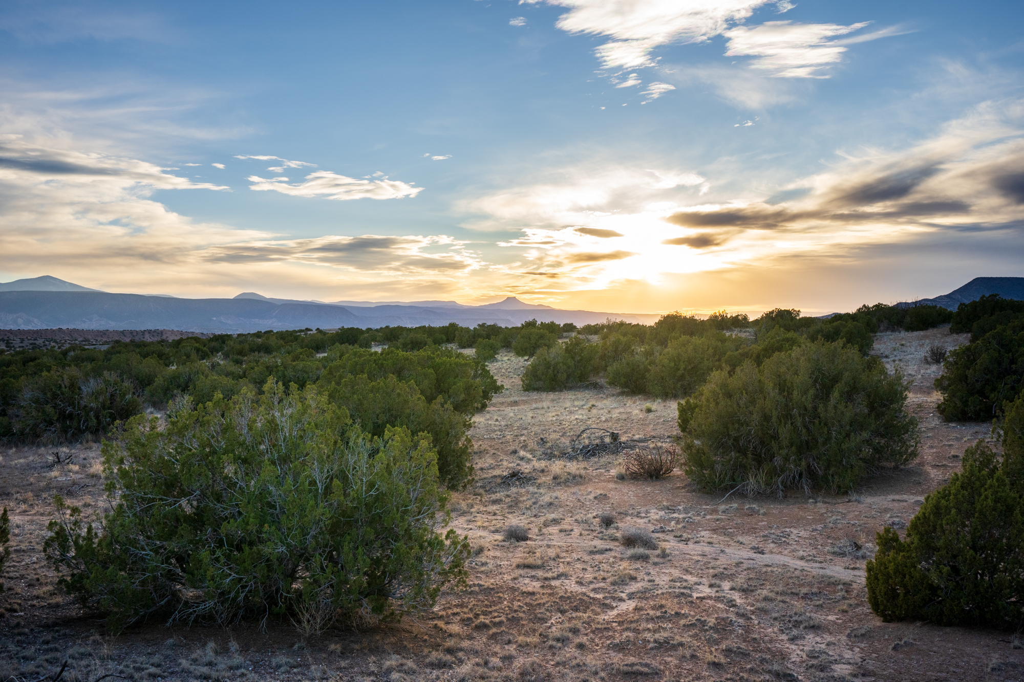
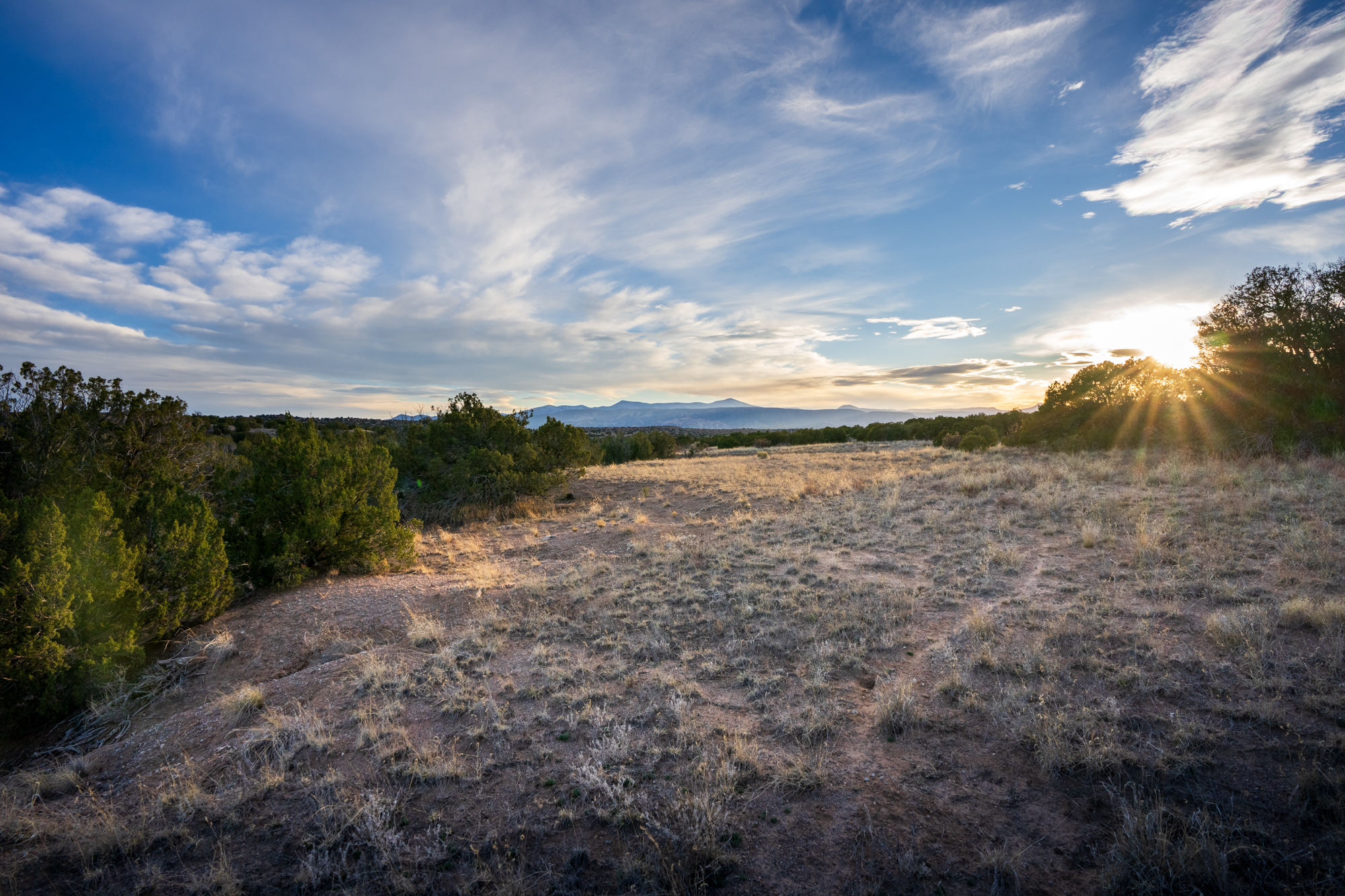
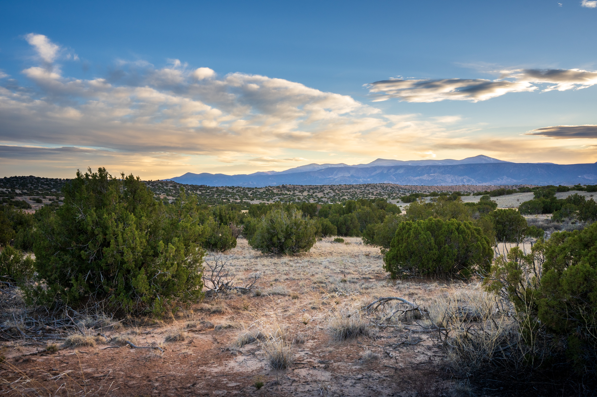
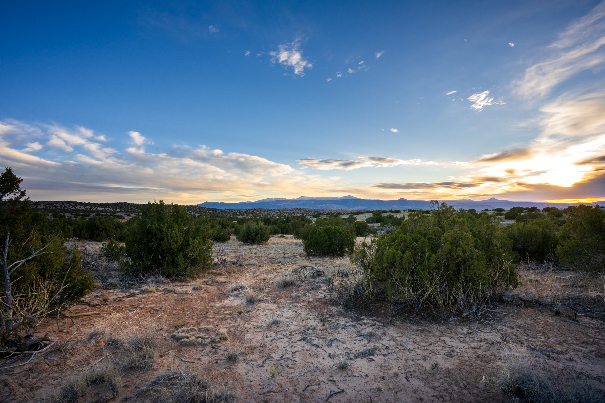
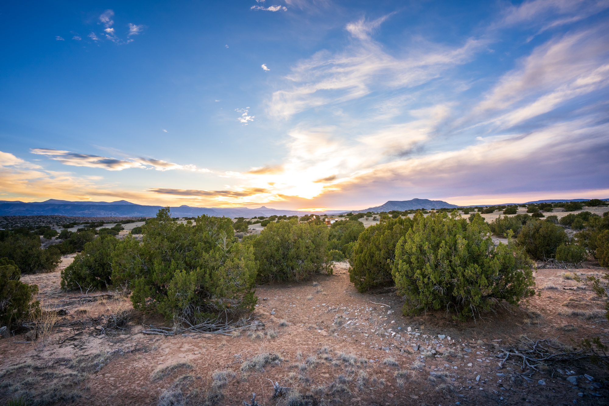
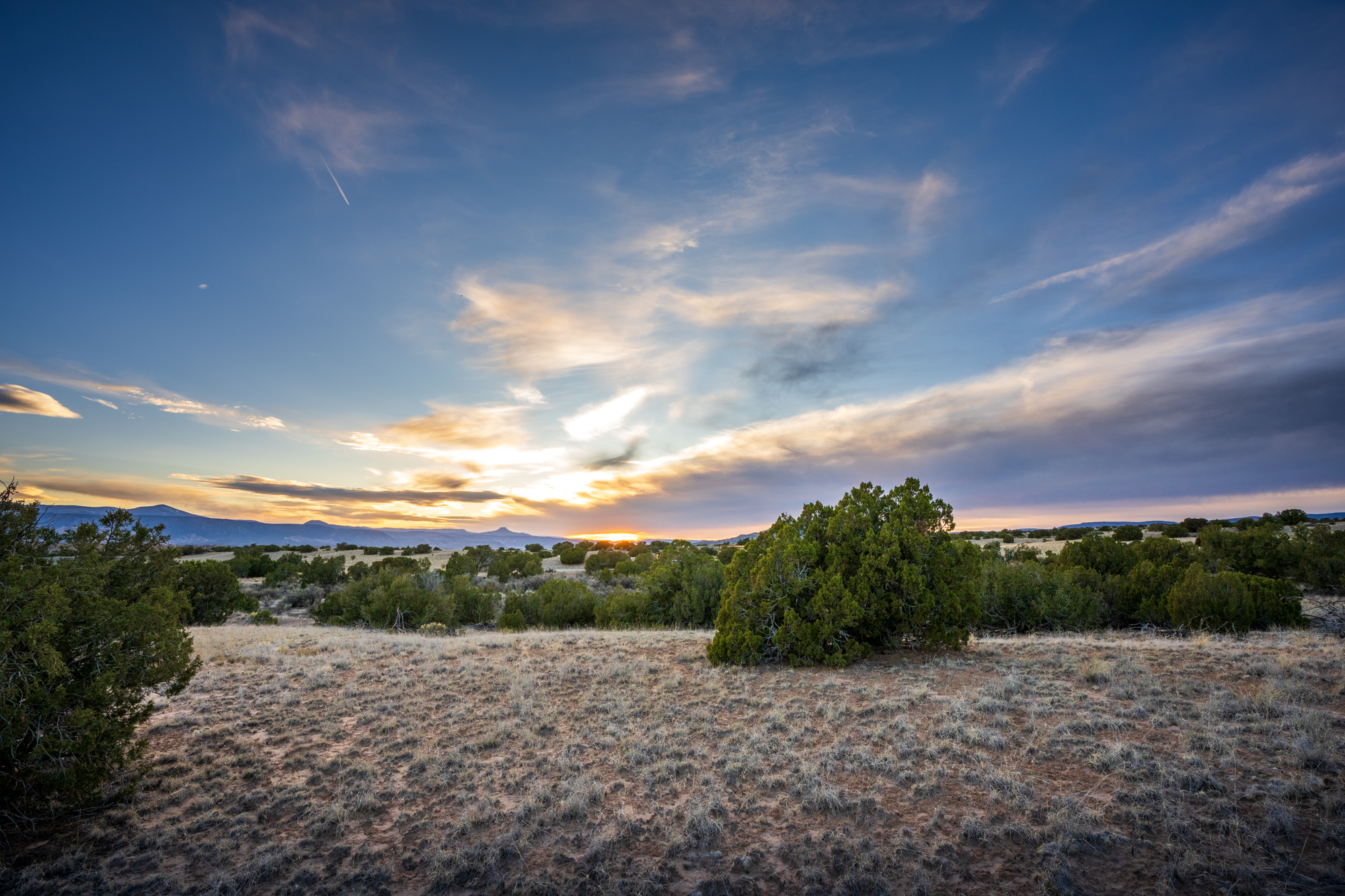
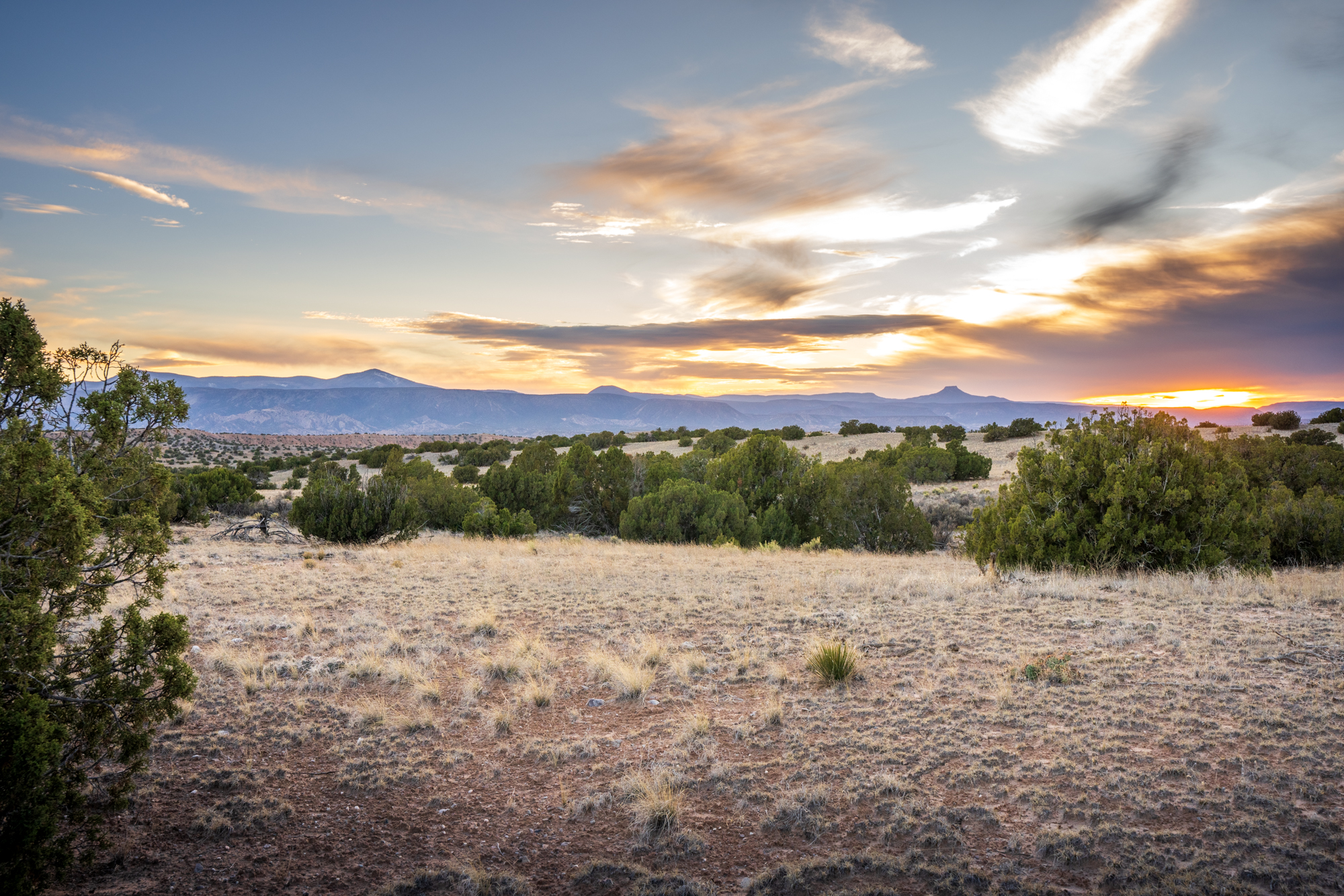
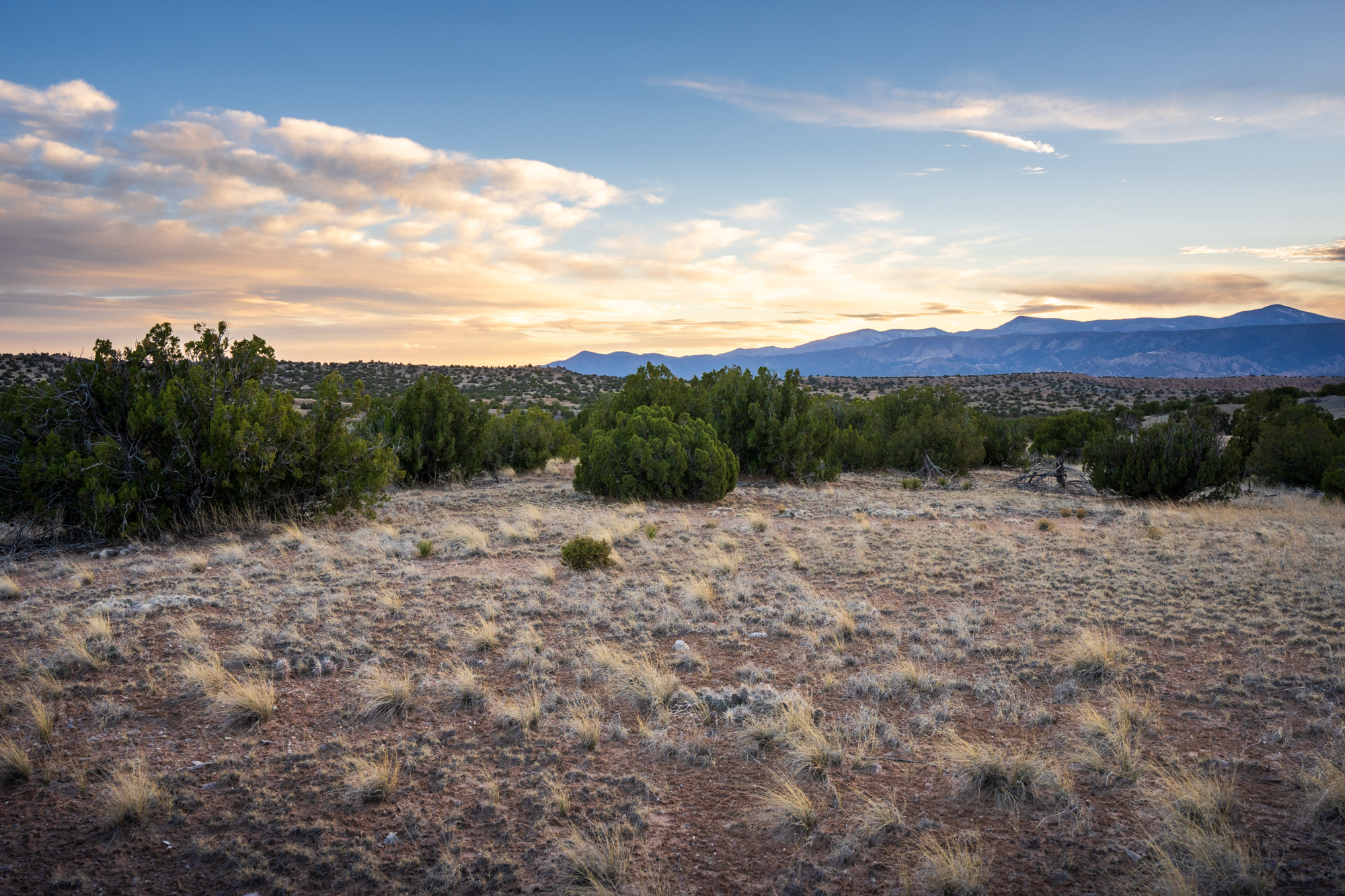
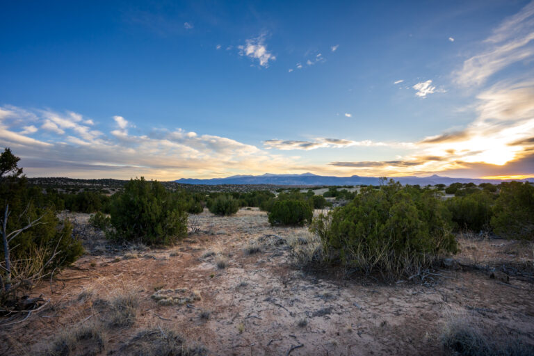
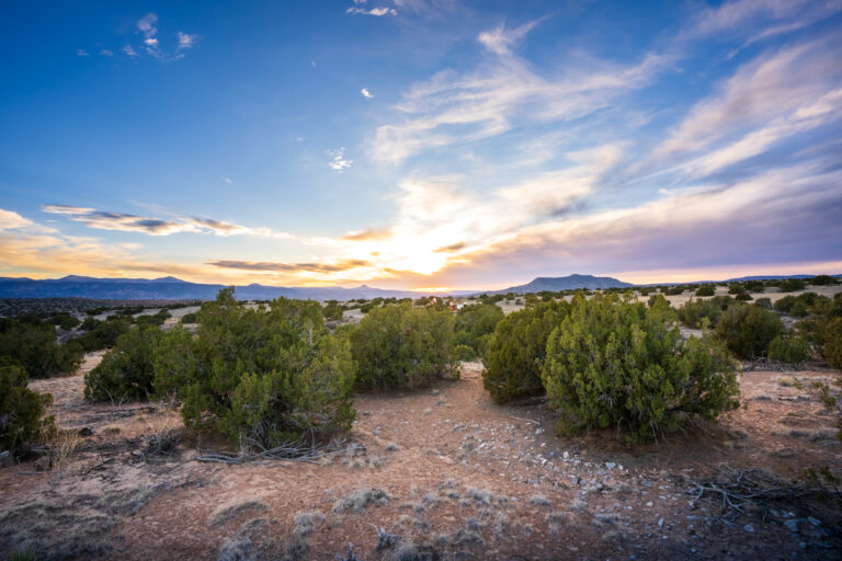
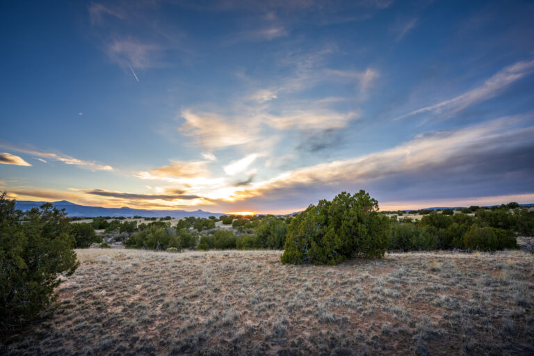
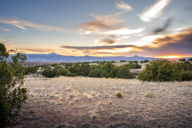
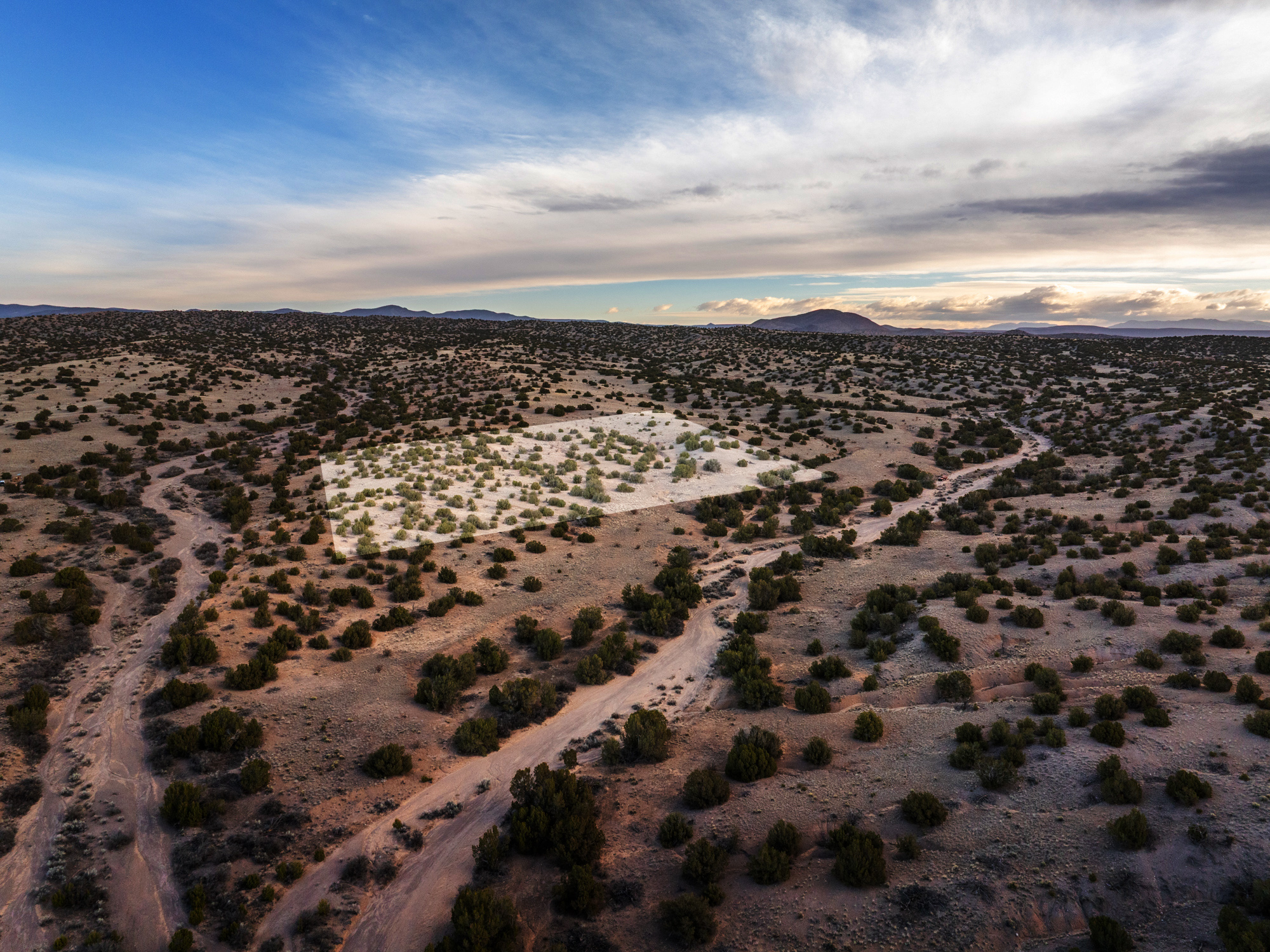
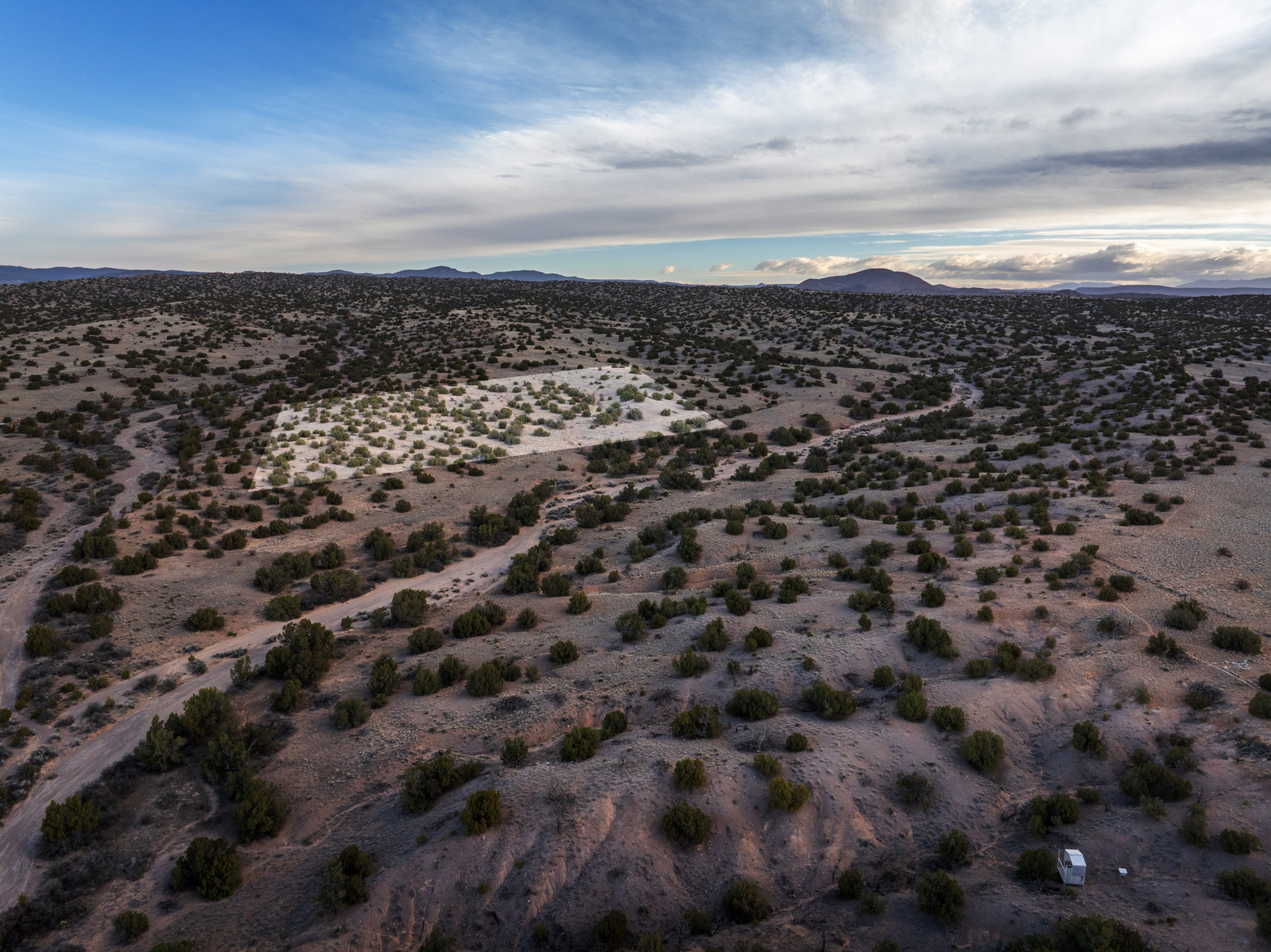
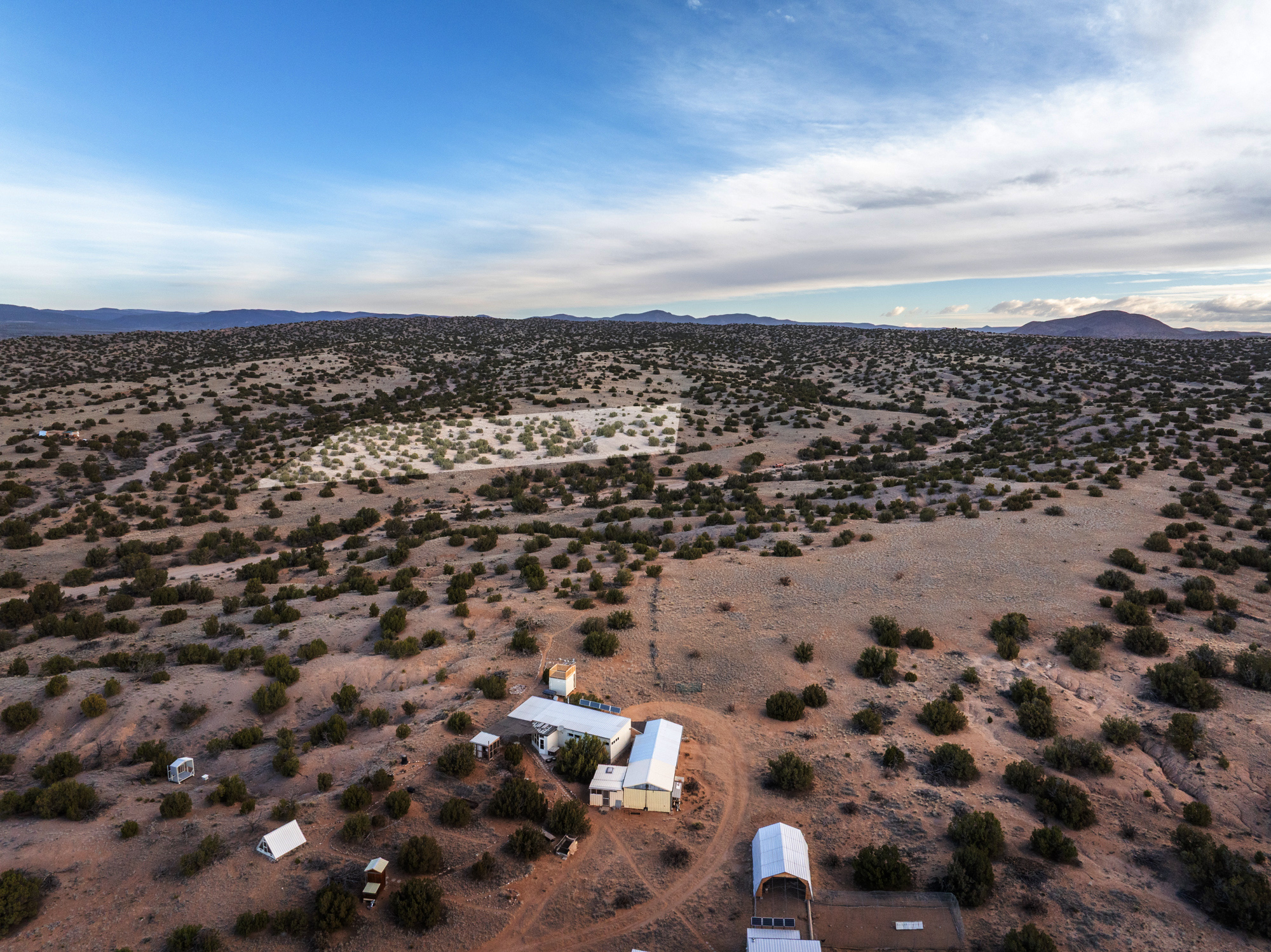
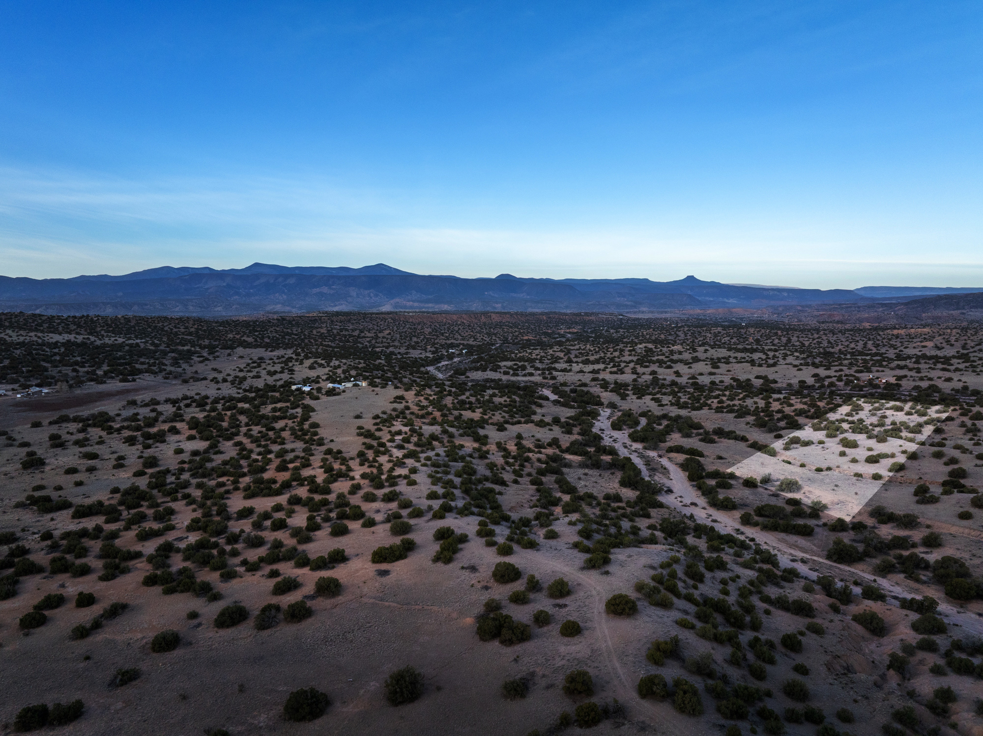
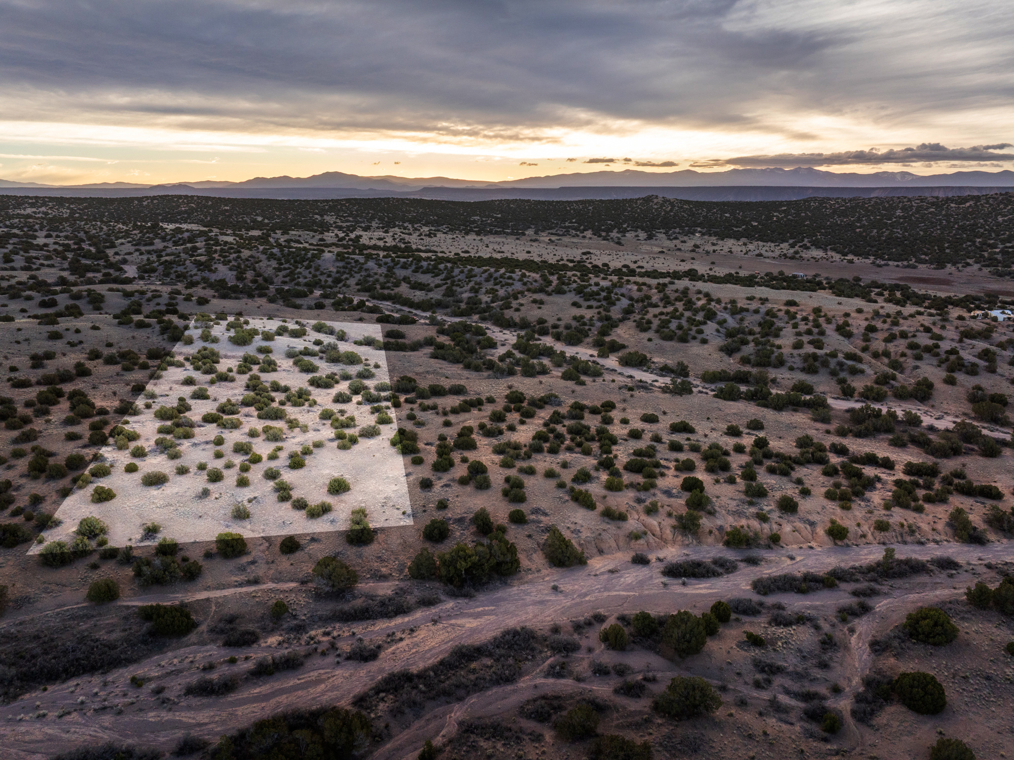
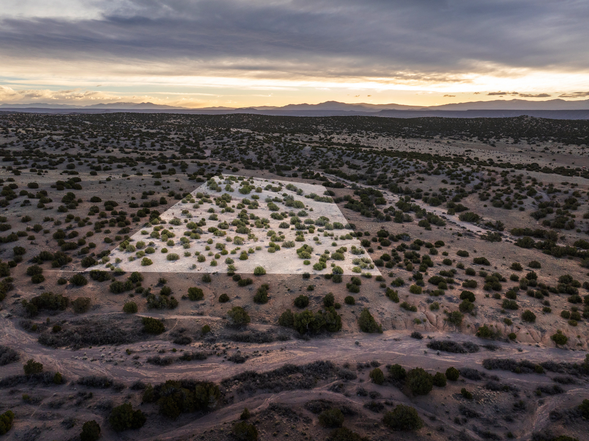
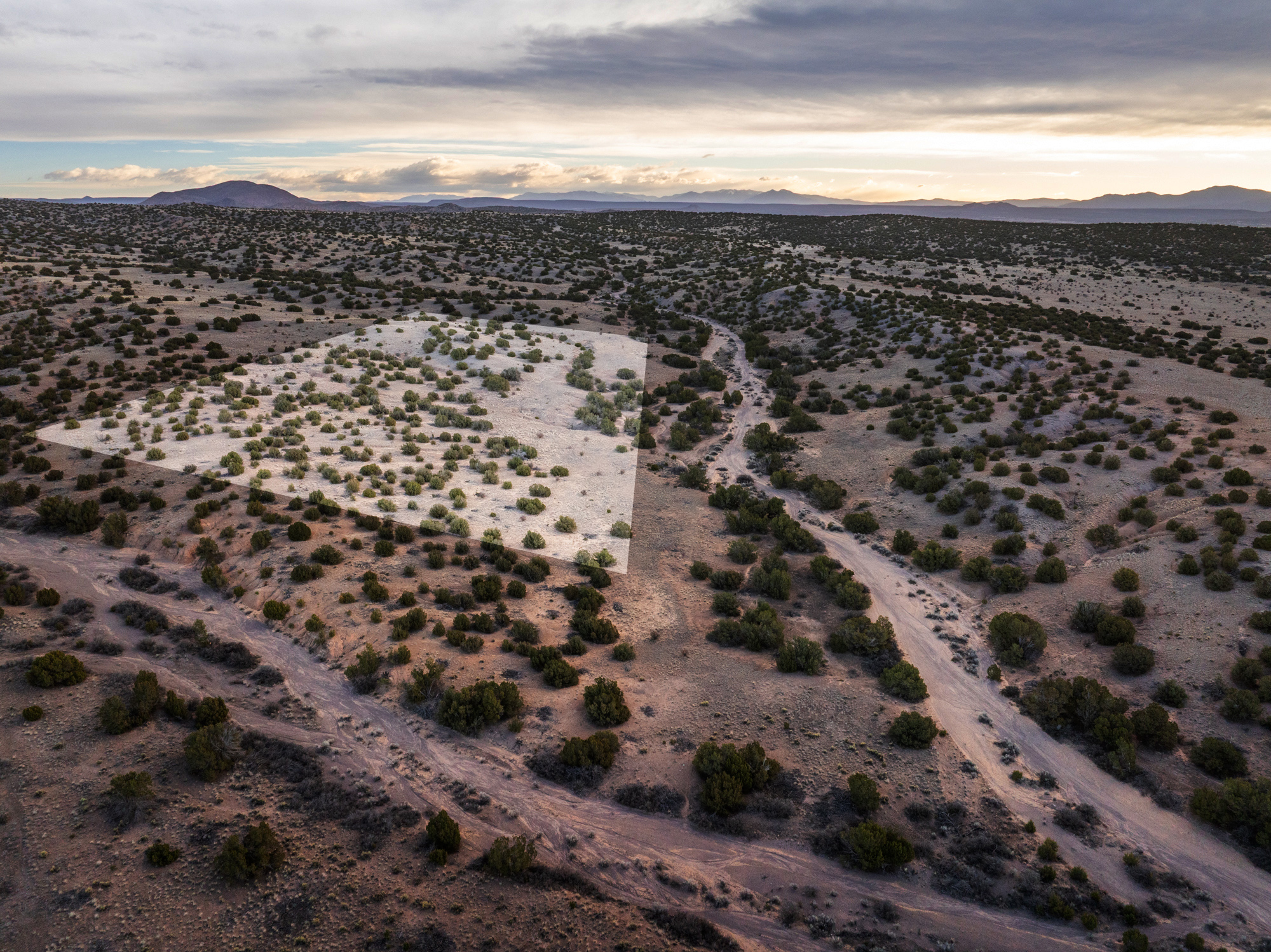
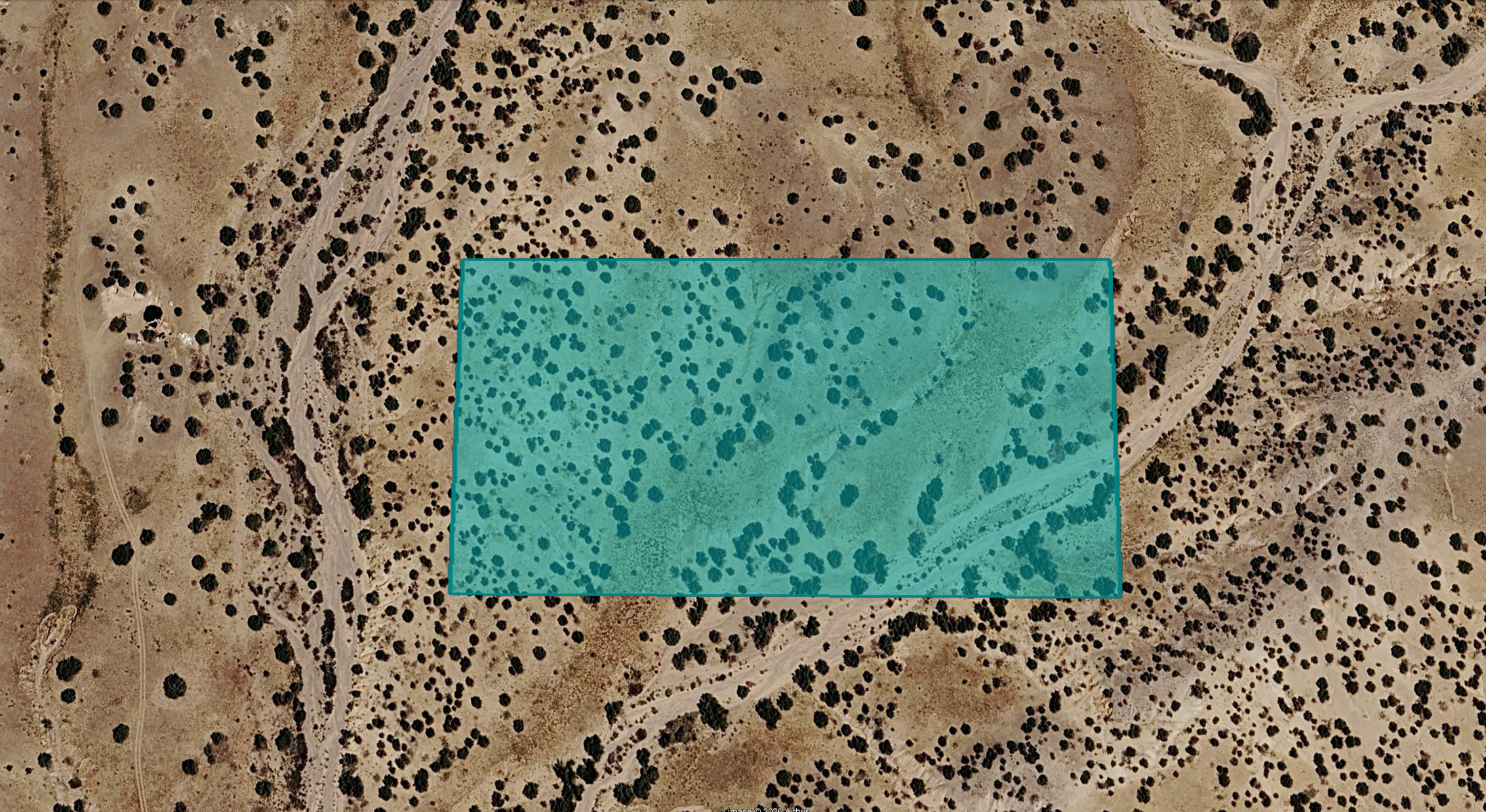
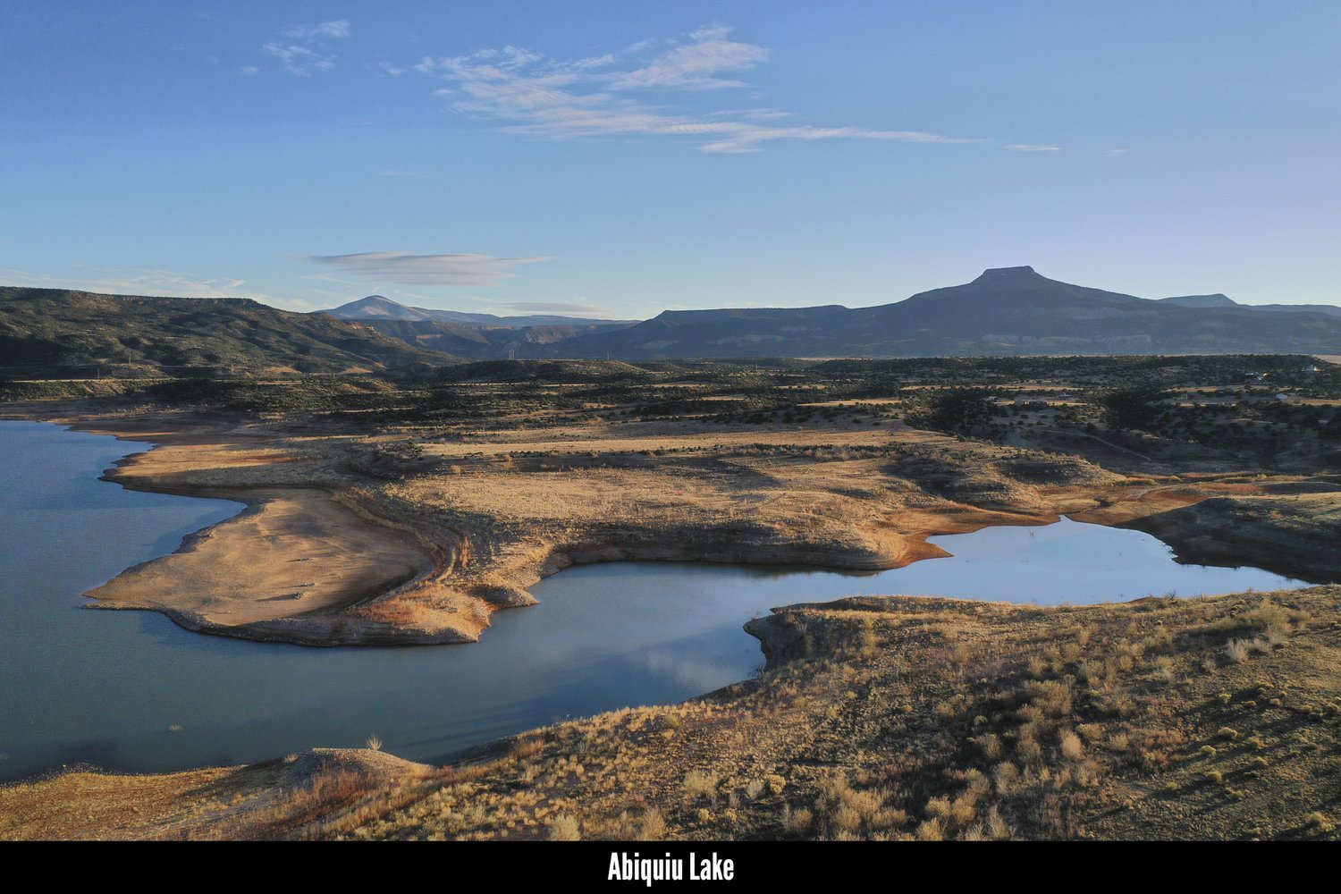
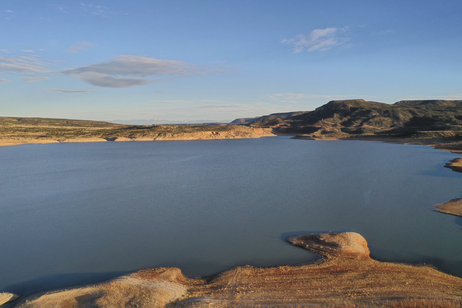
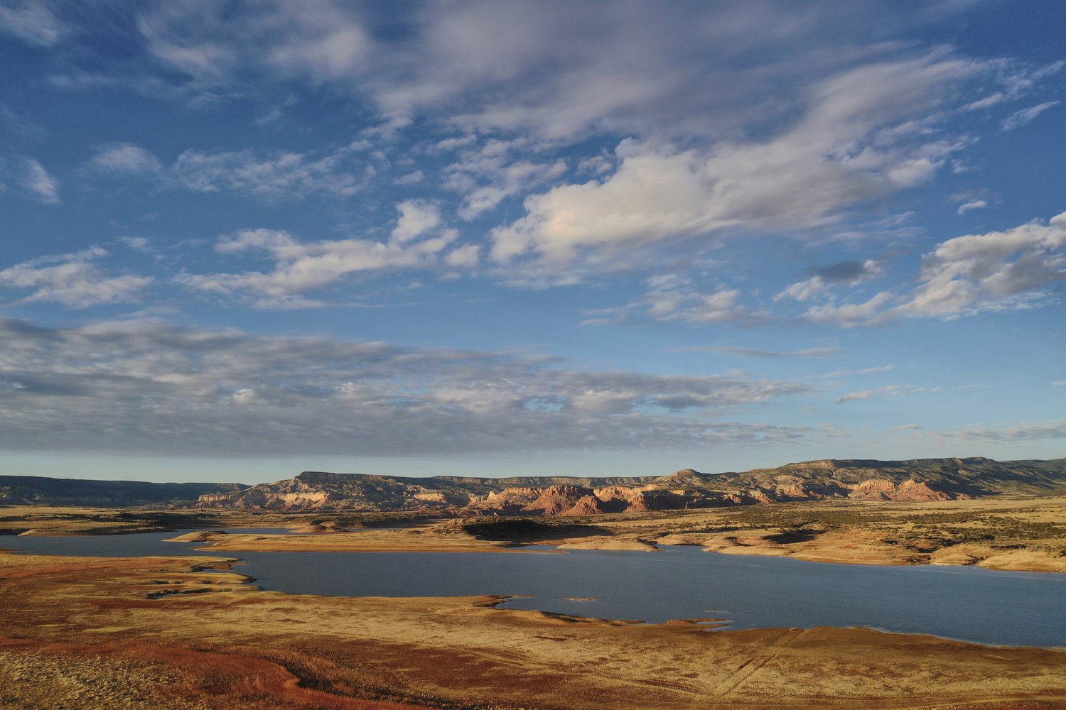
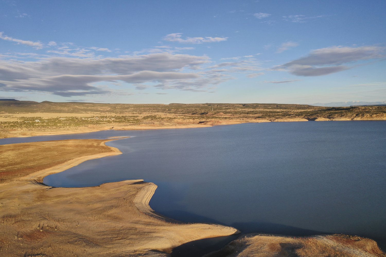
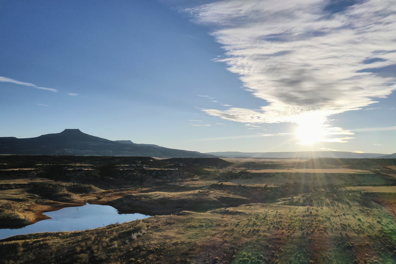
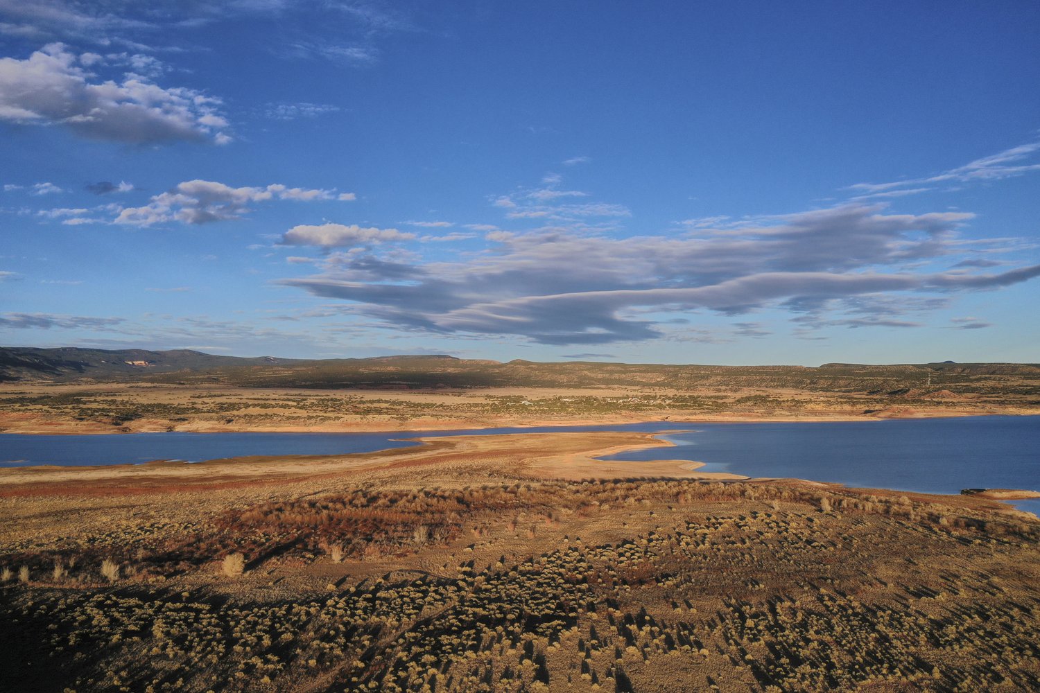
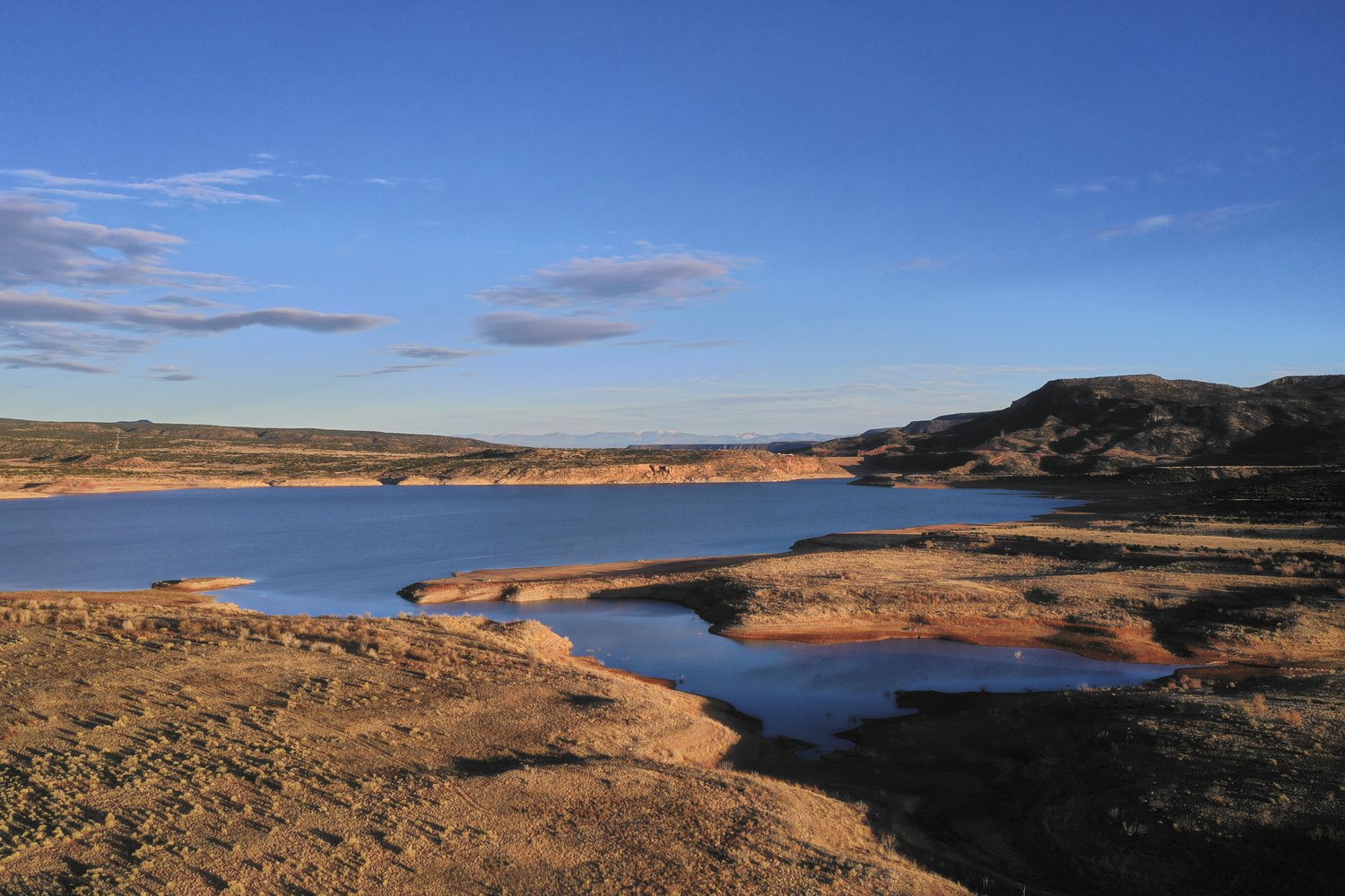
The subject property is a secluded 5 acre ranchette located in El Rito Estates, a rural residential subdivision situated just east of State Road 556 and a few short miles from Lake Abiquiu.
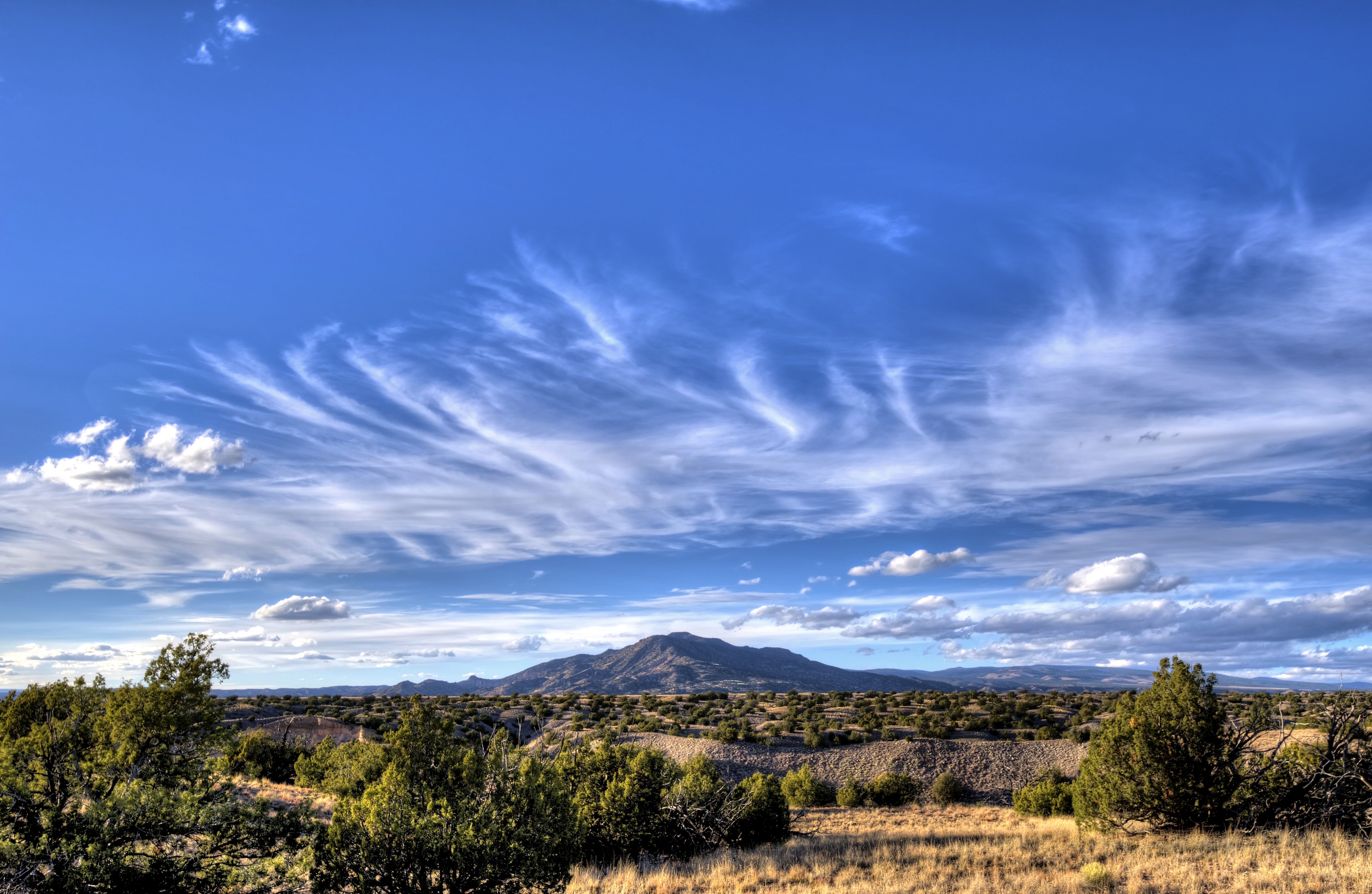
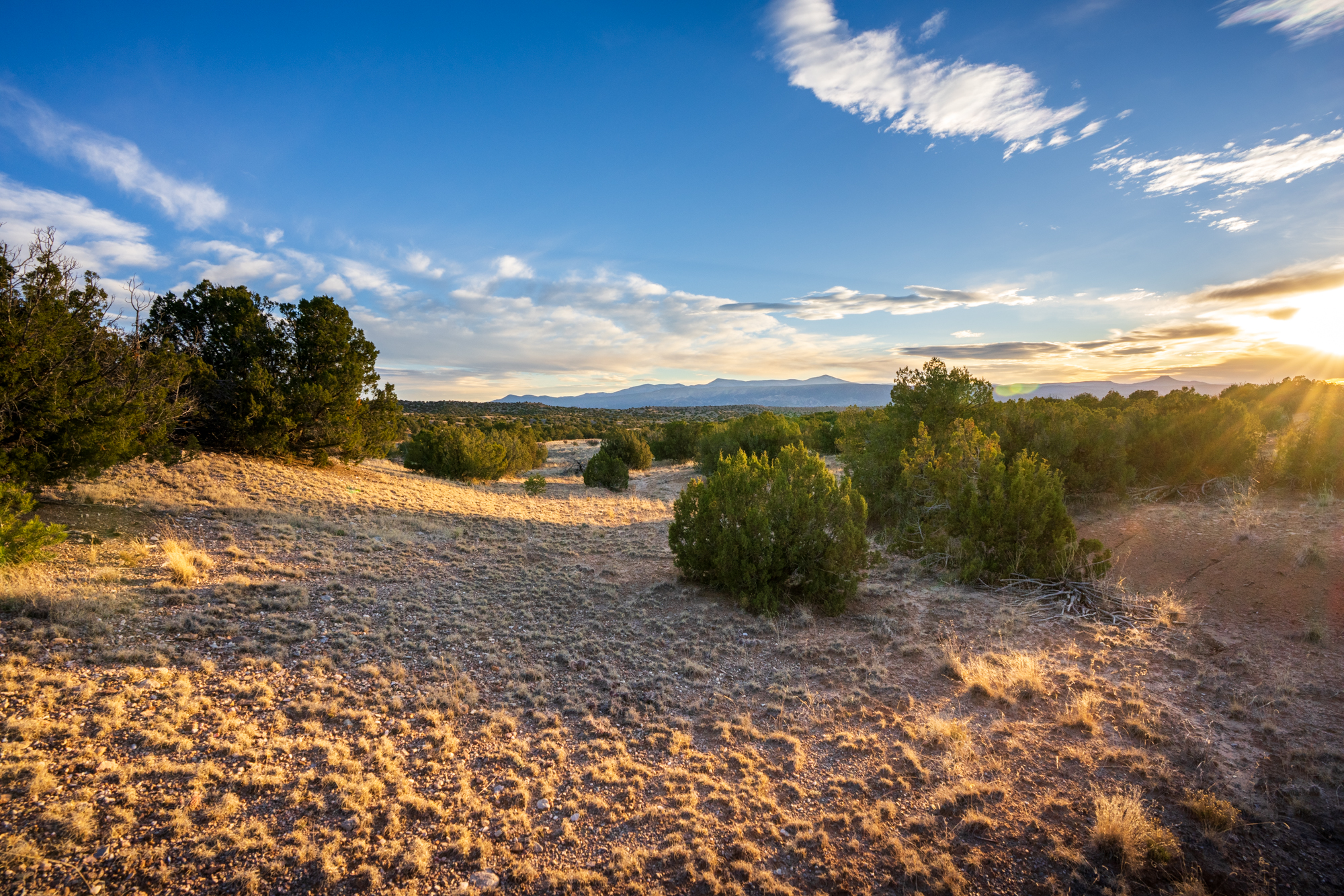
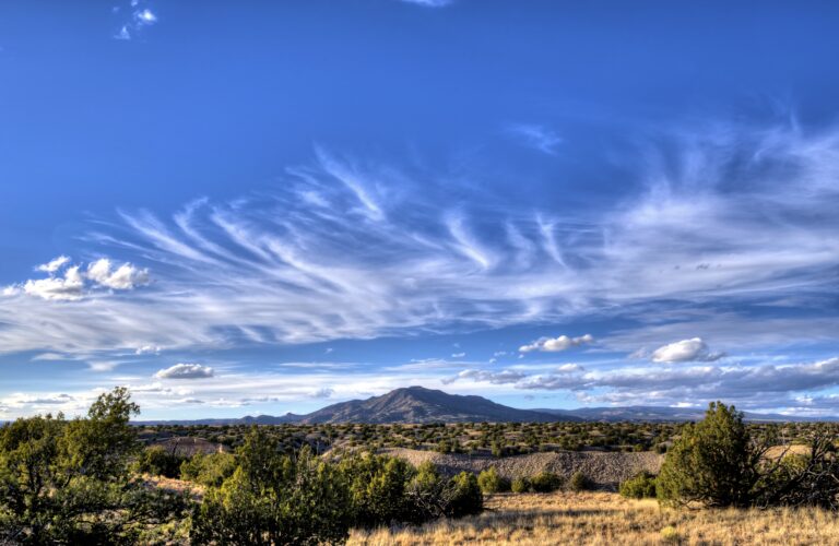
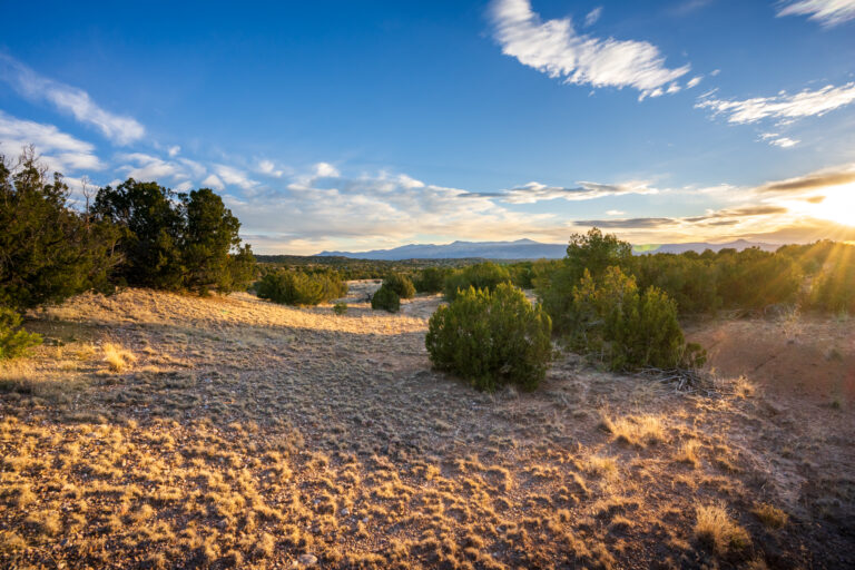
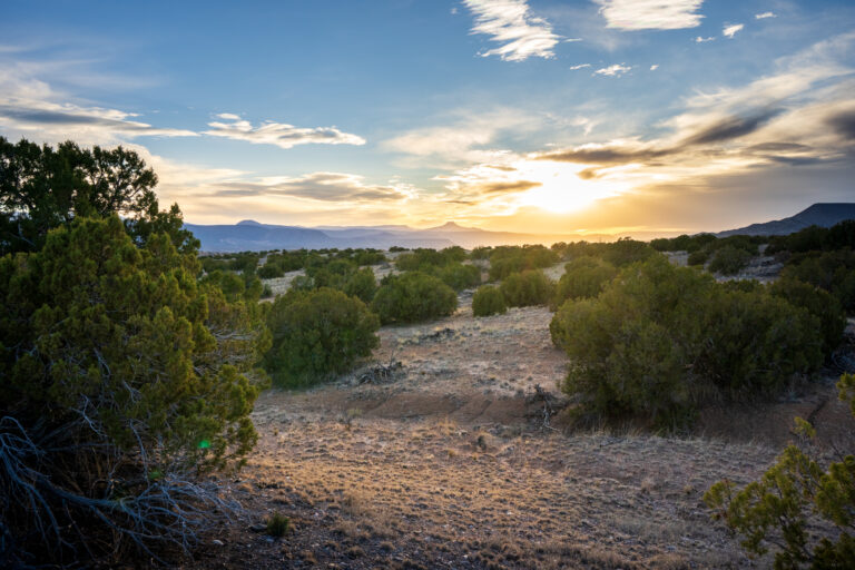
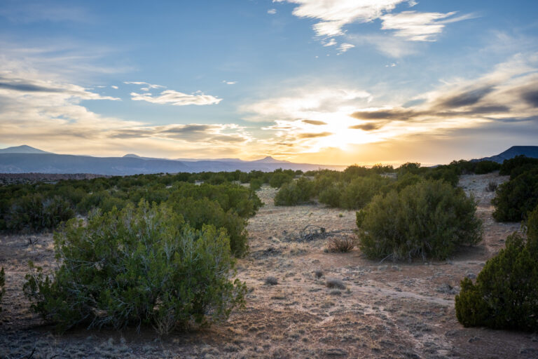
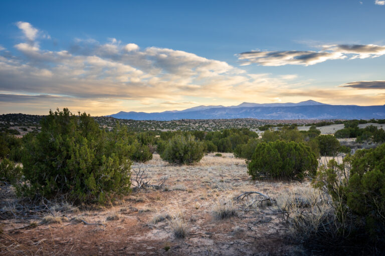
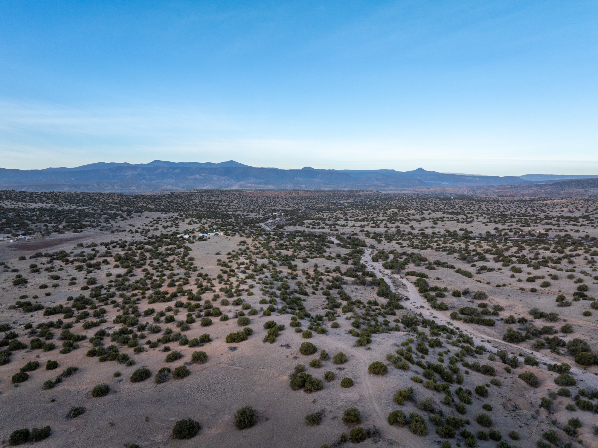
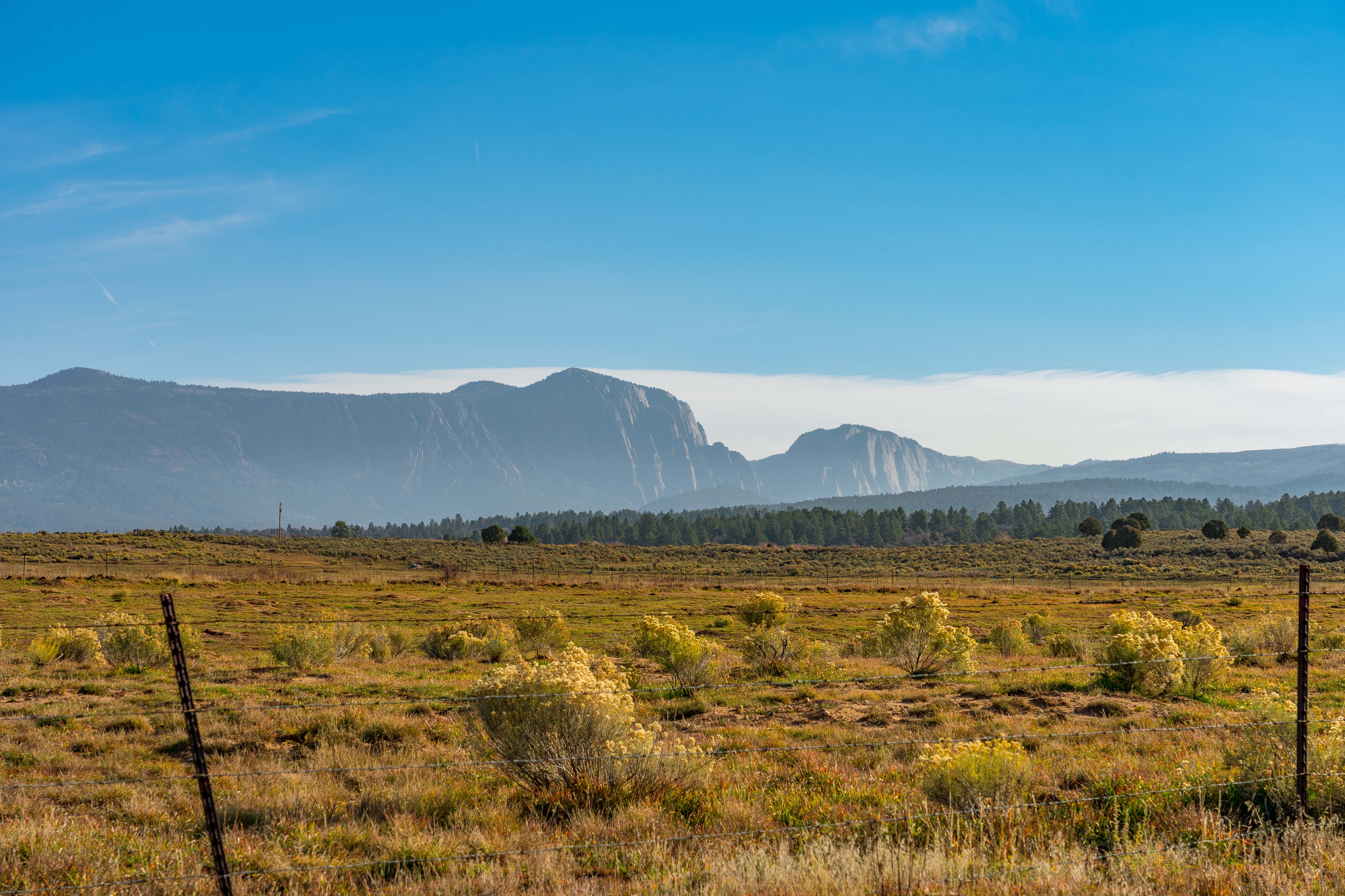
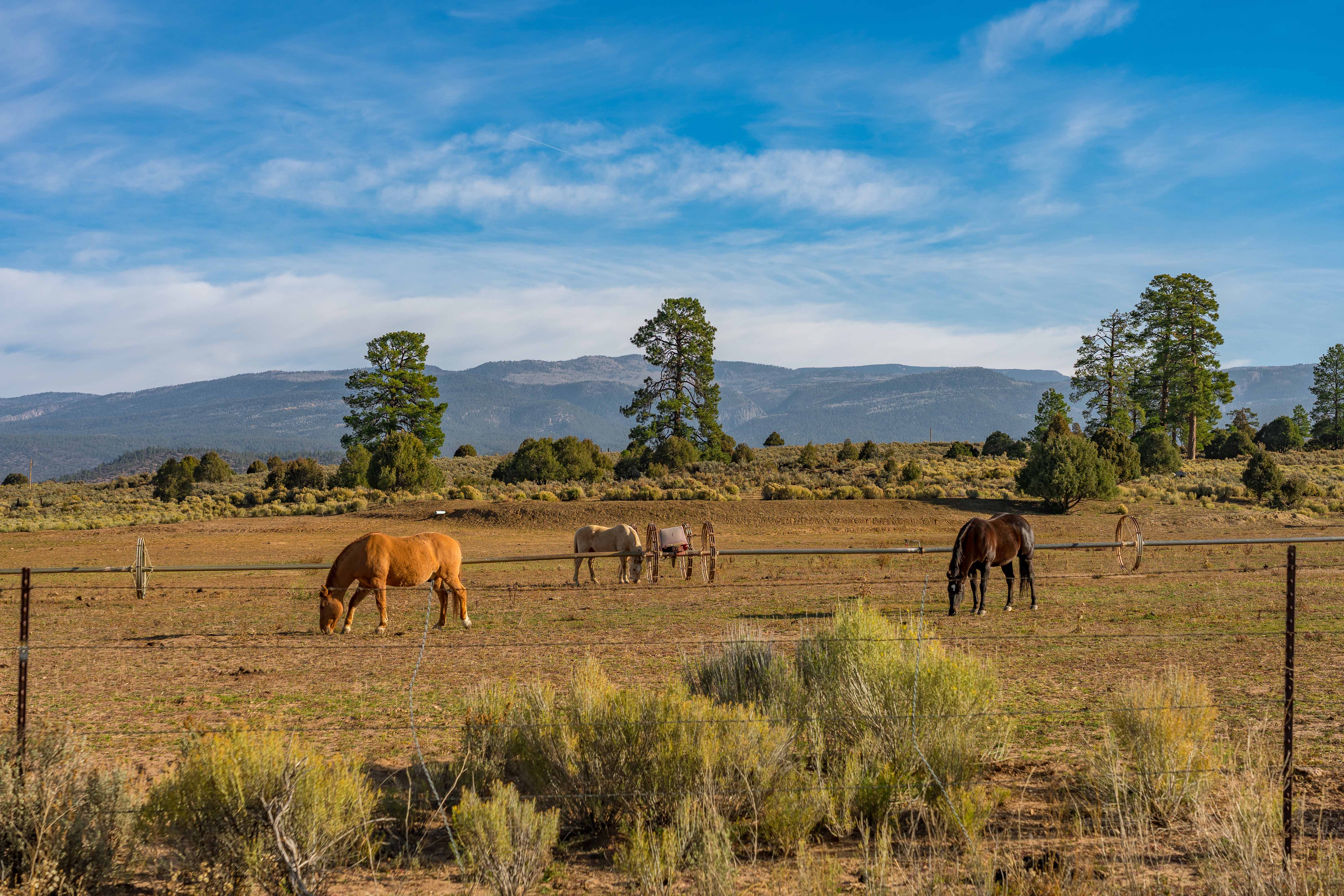
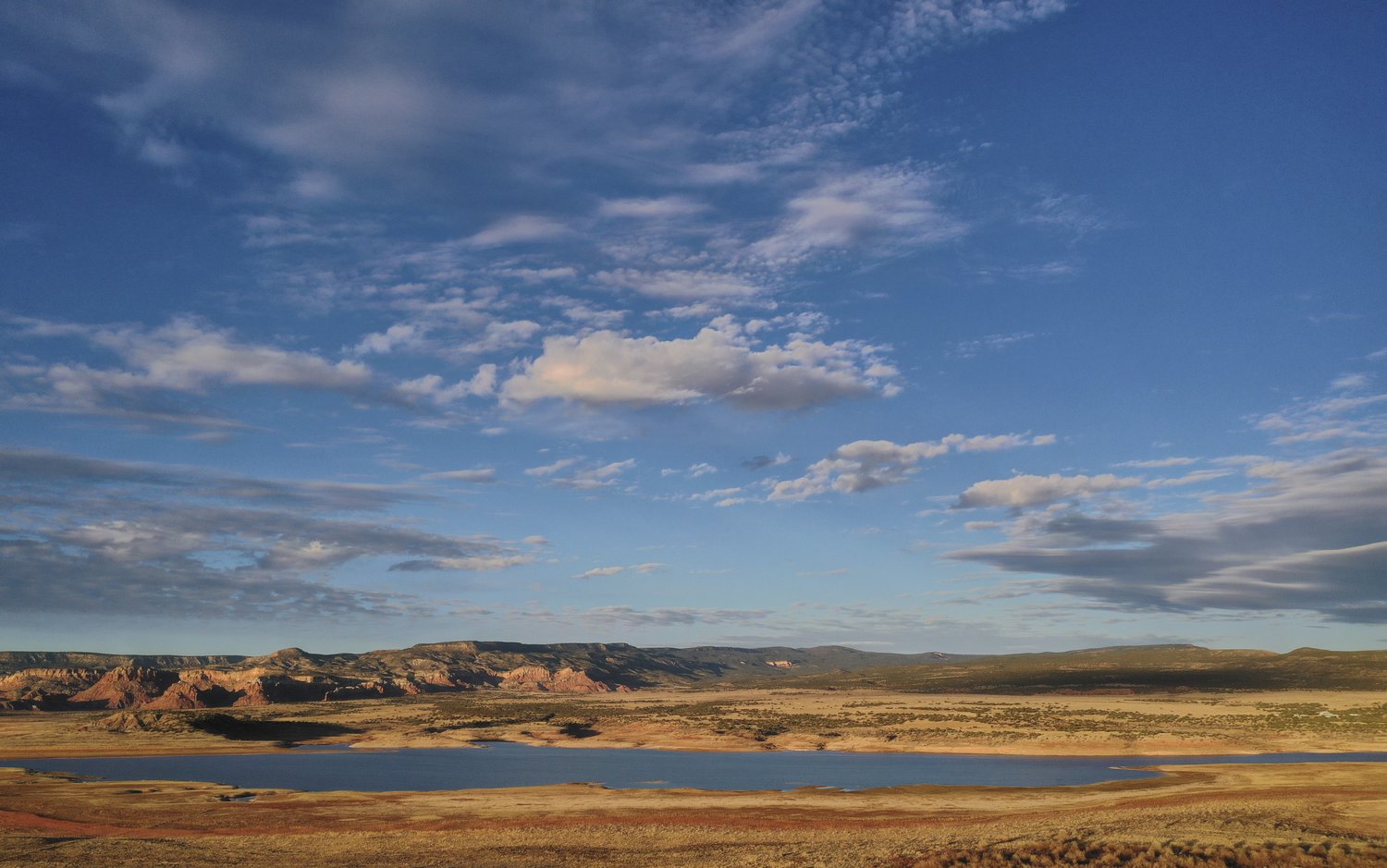
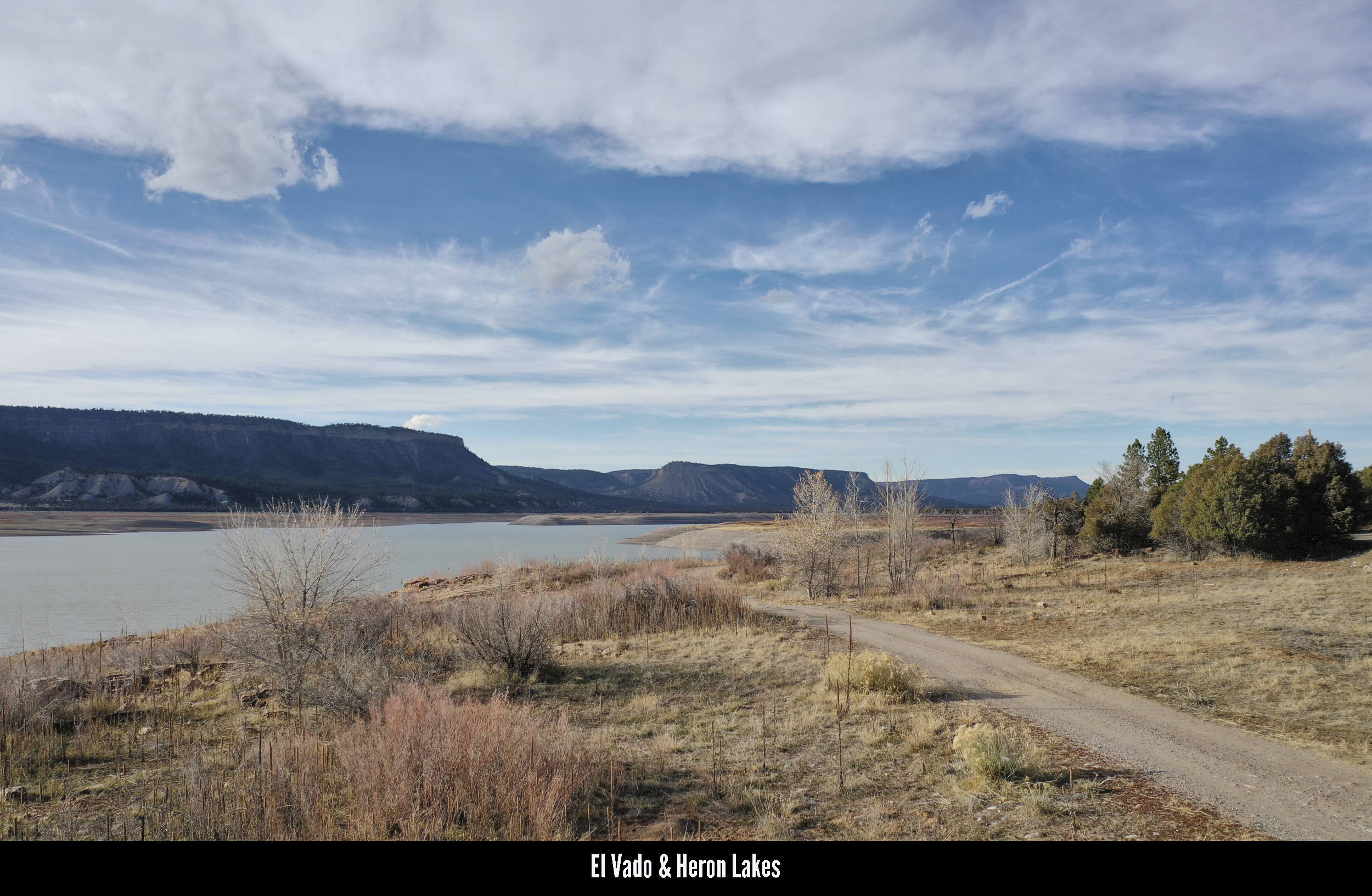
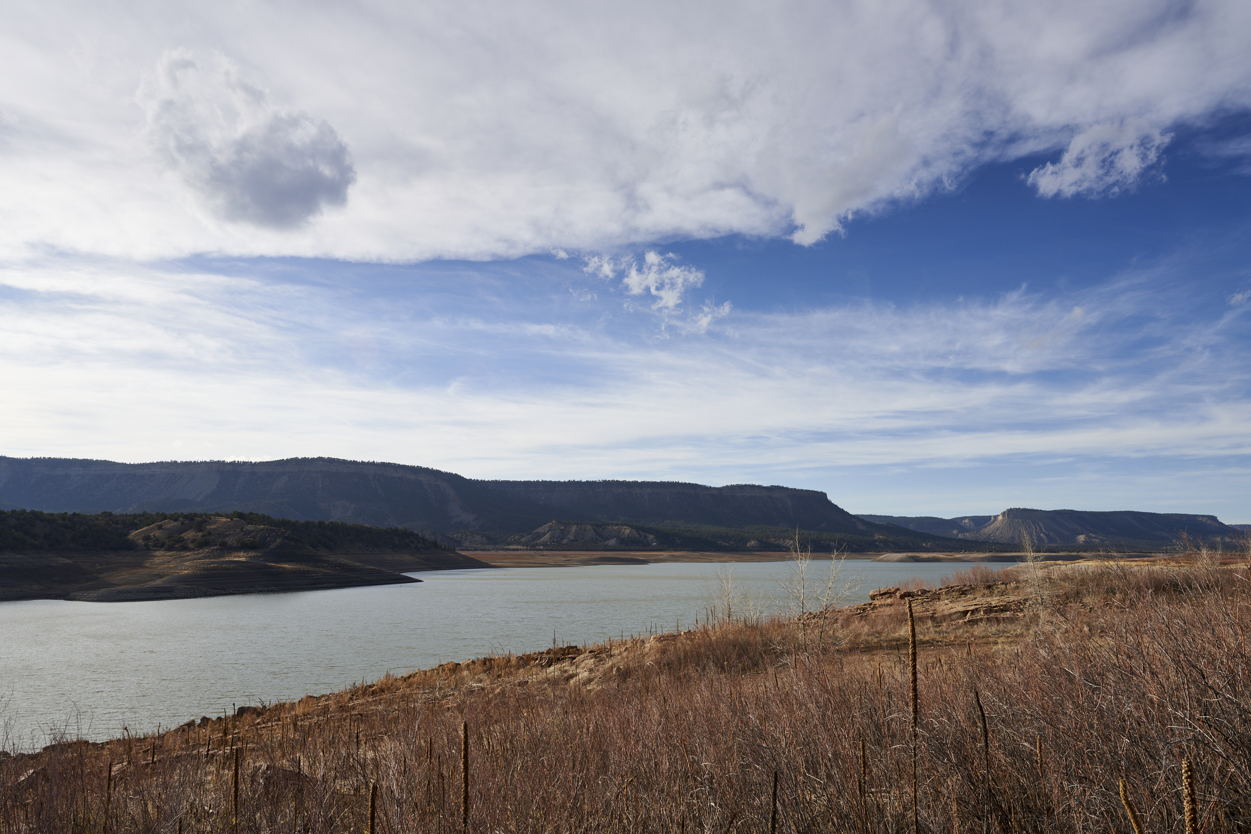
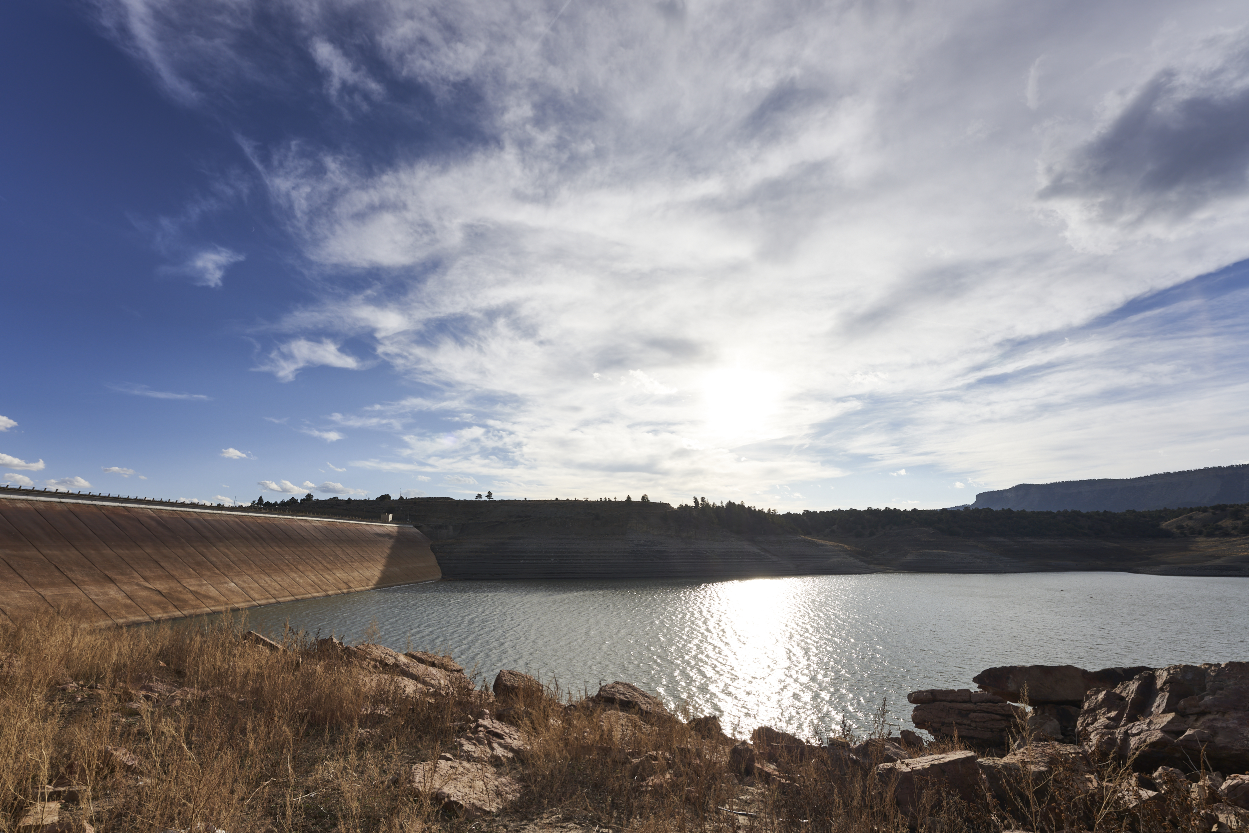
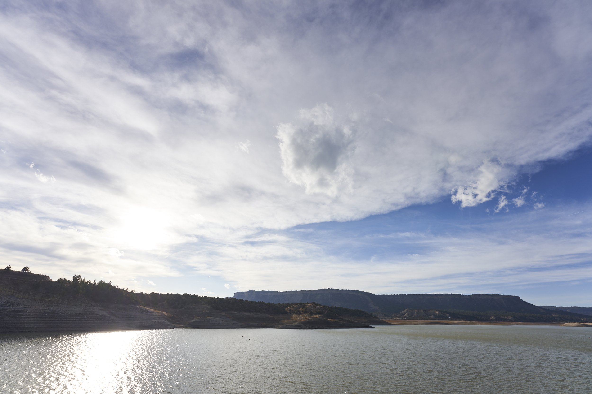
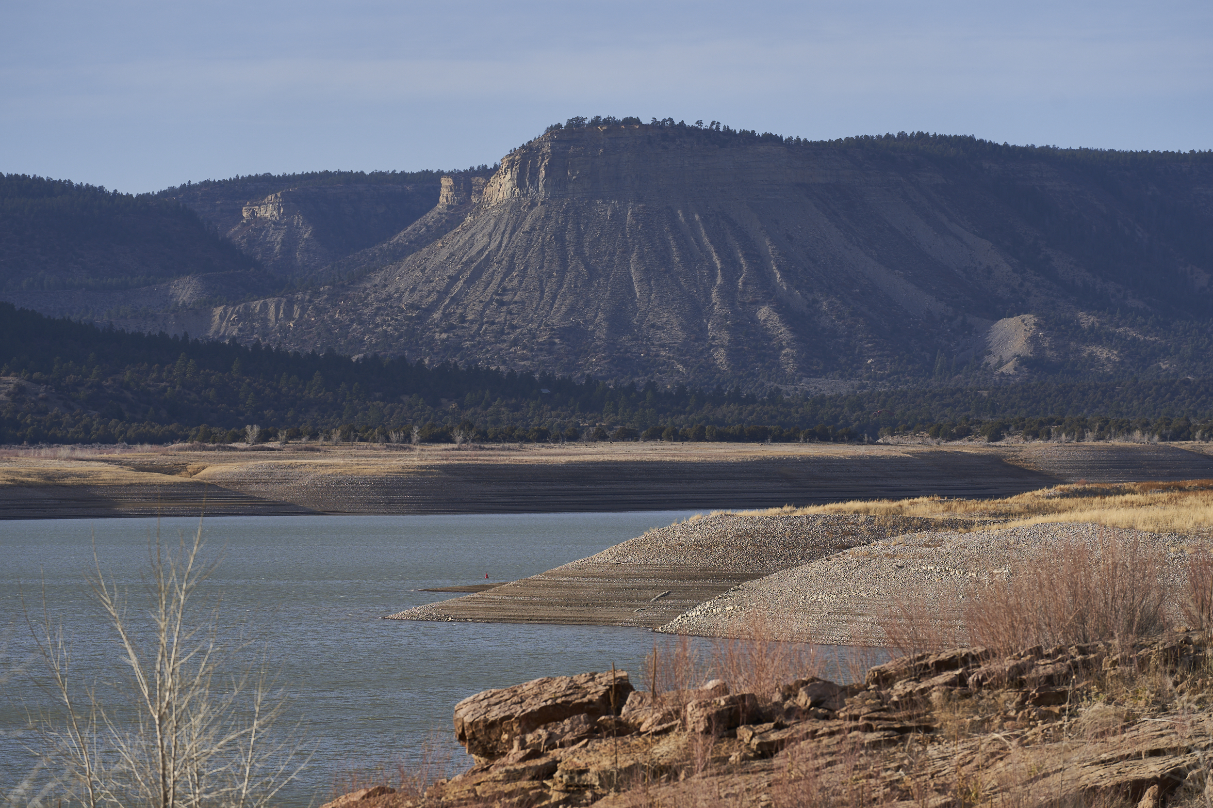
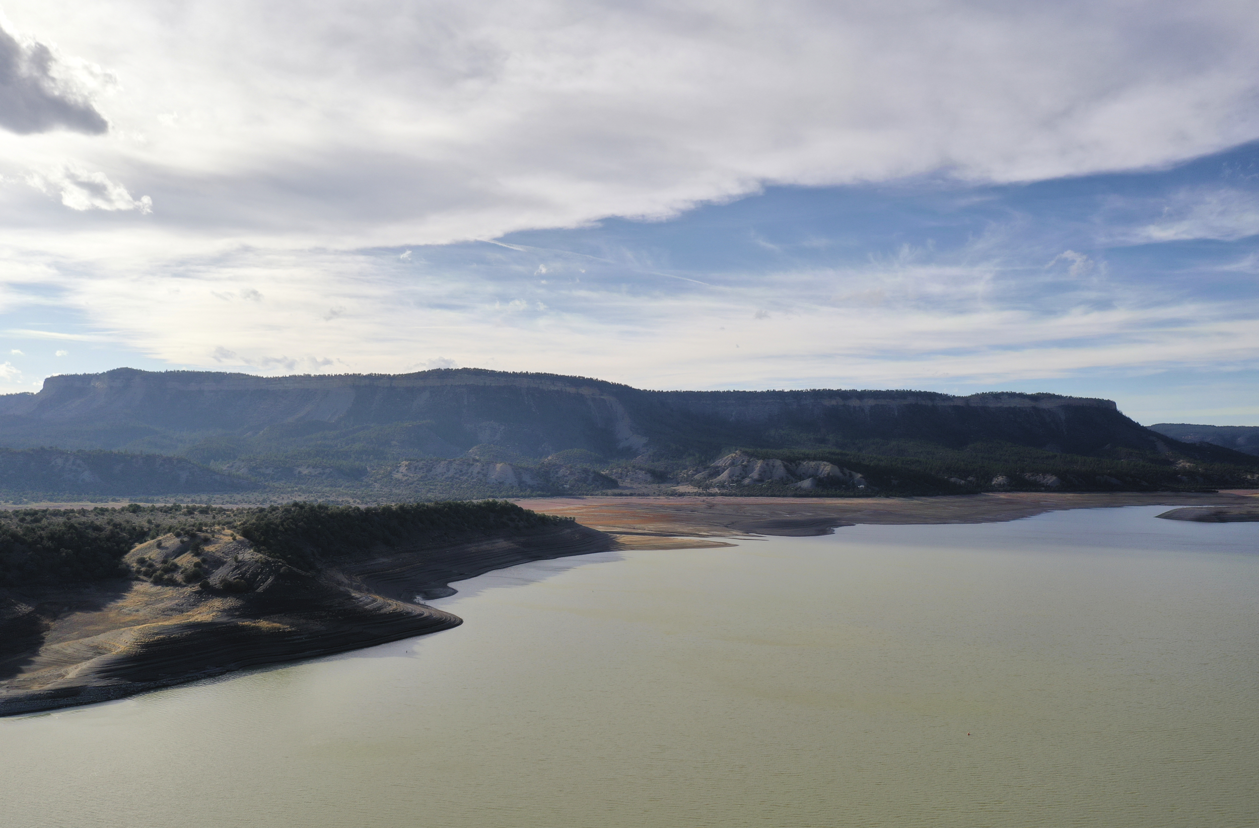
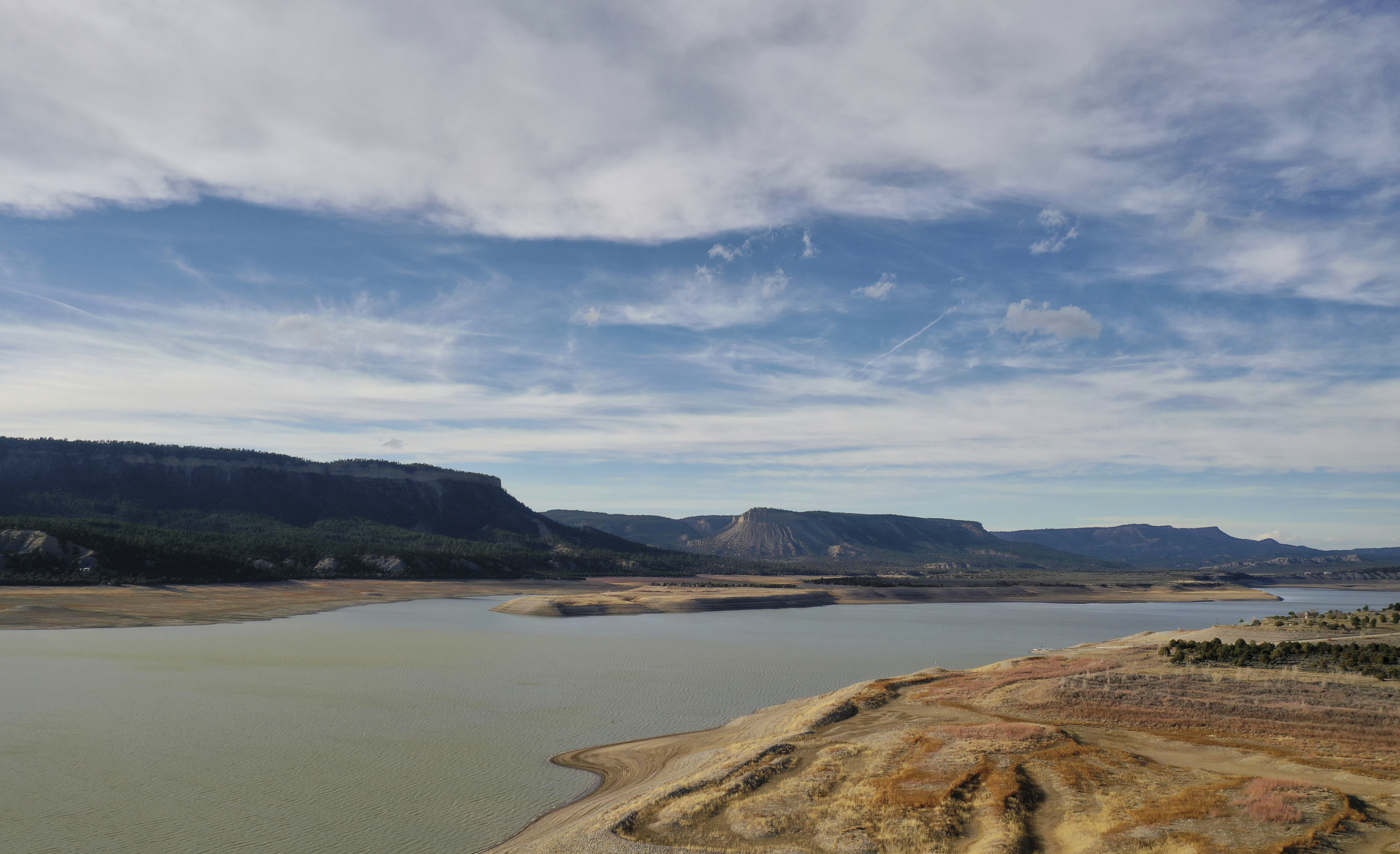
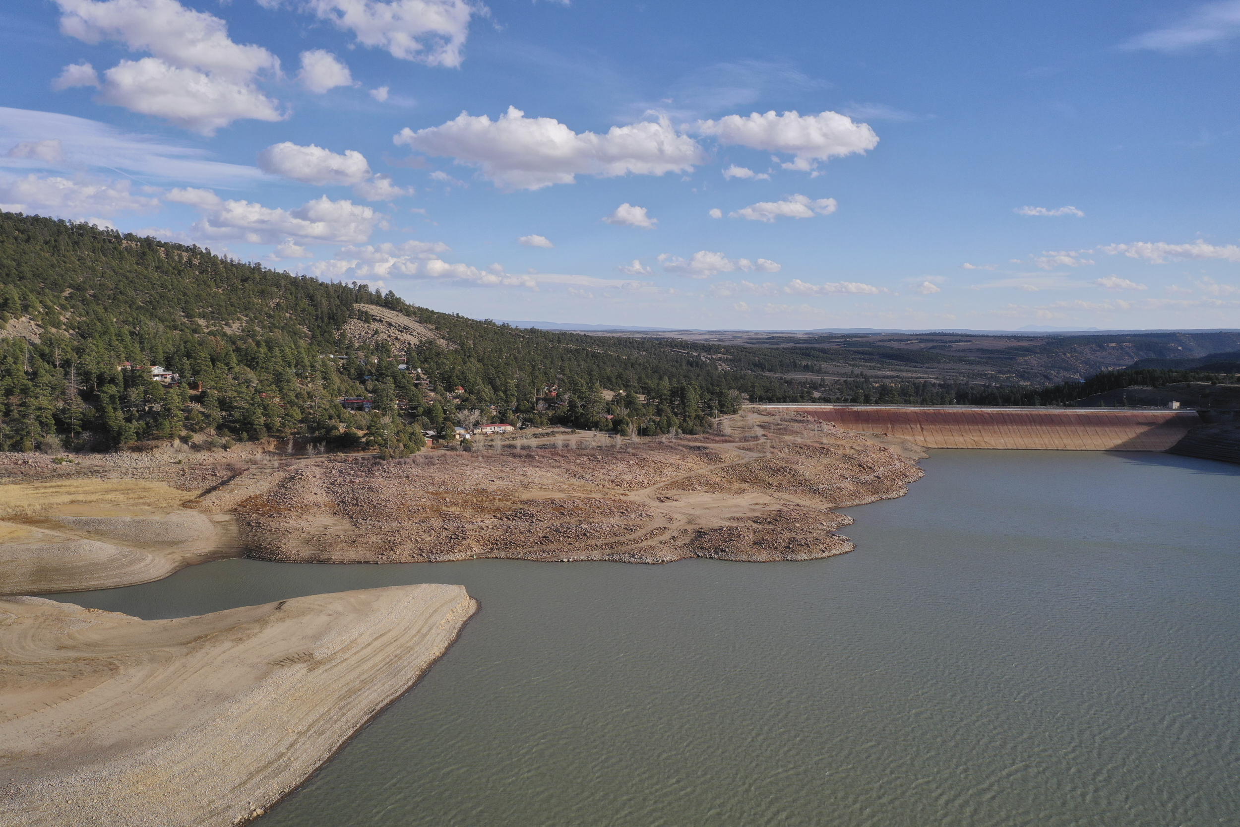
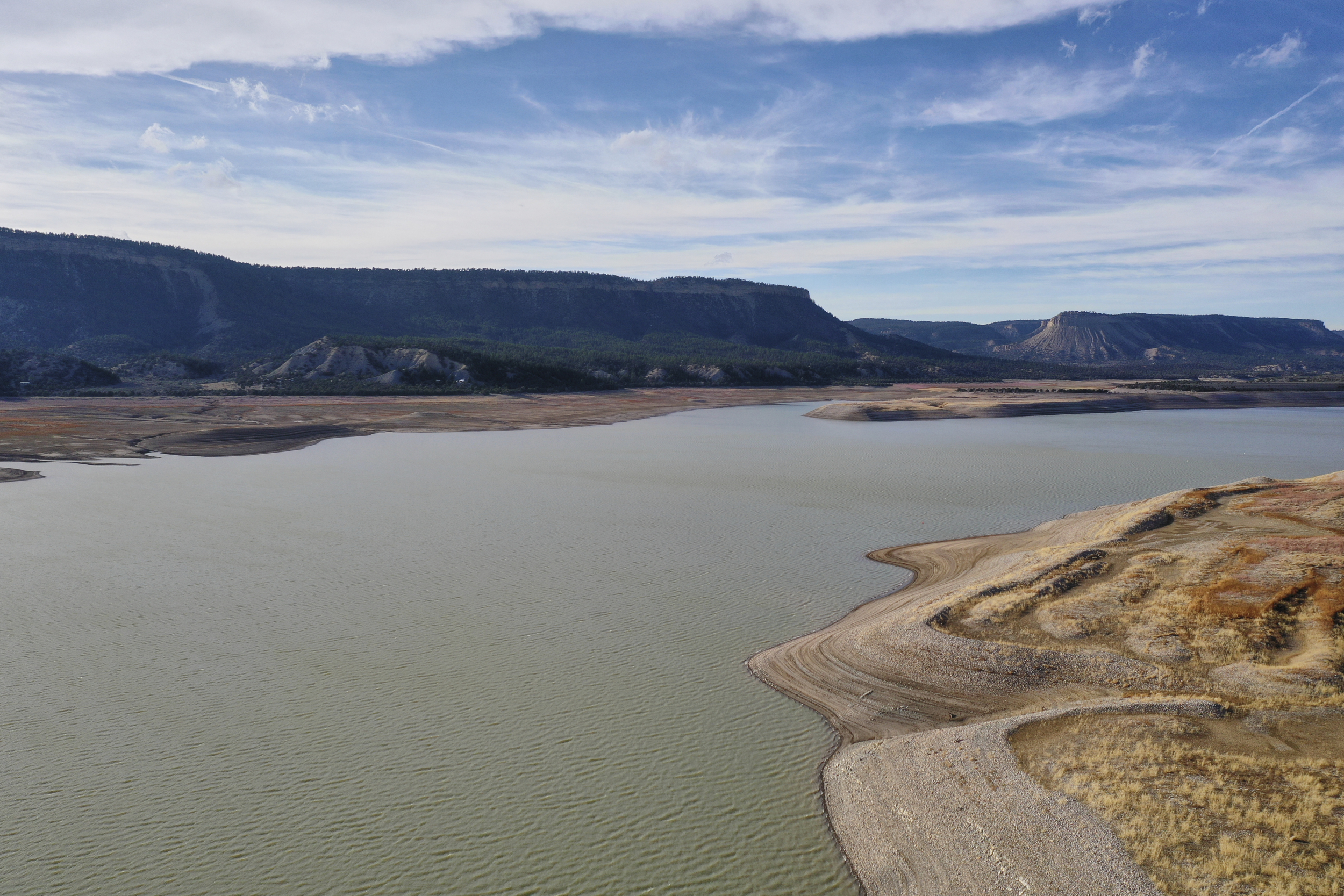
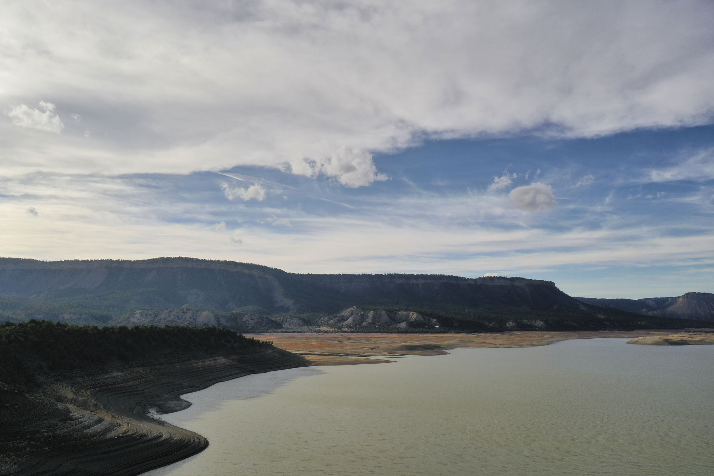
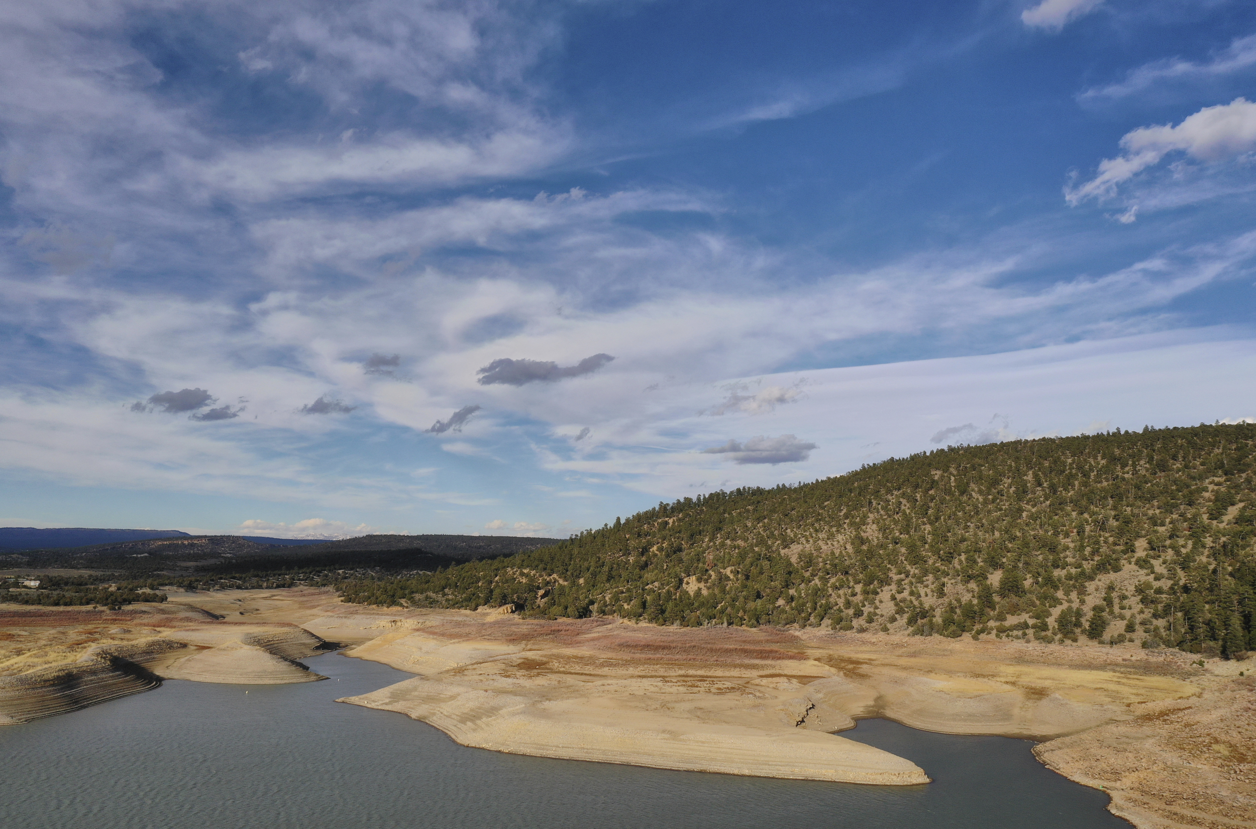
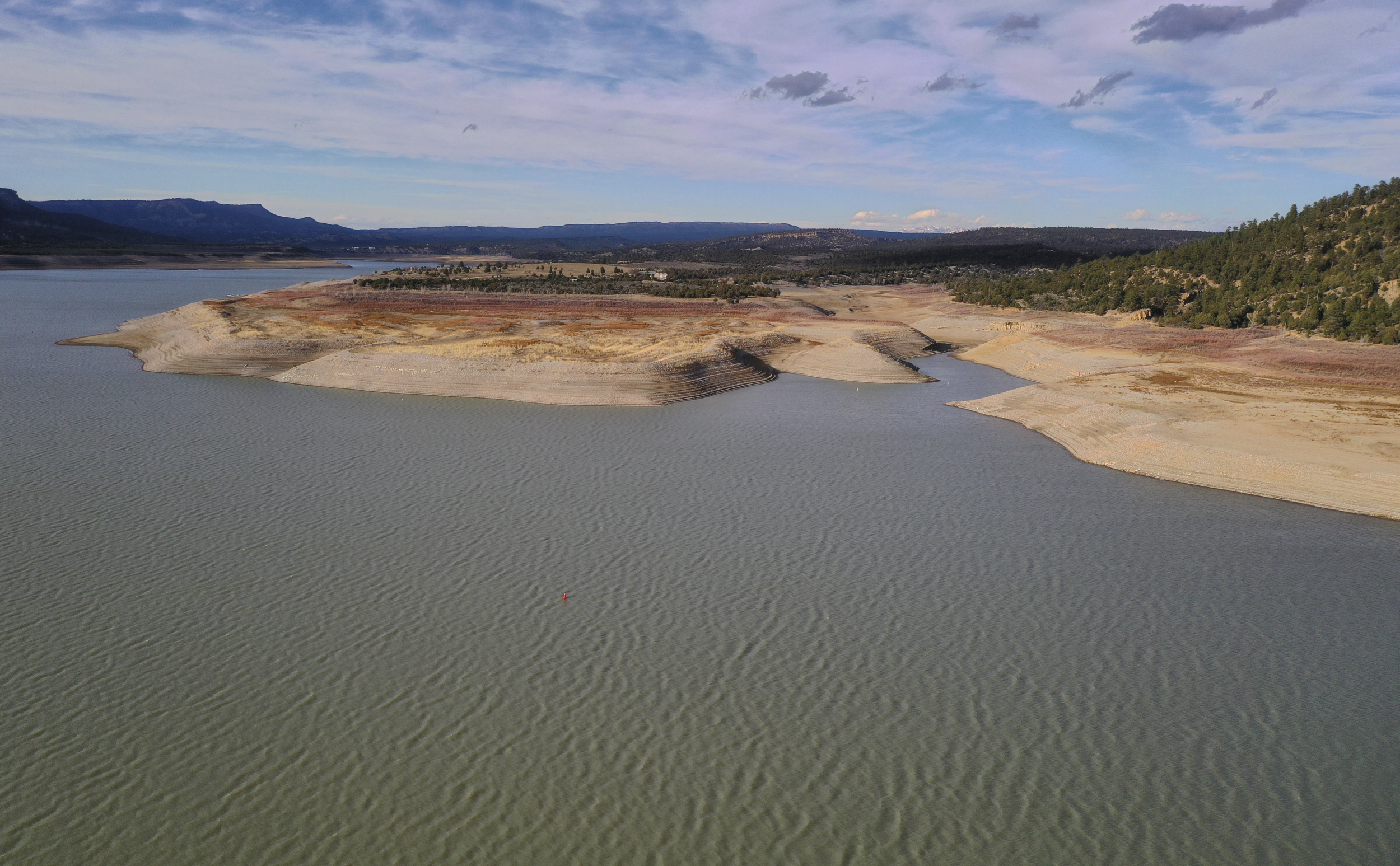
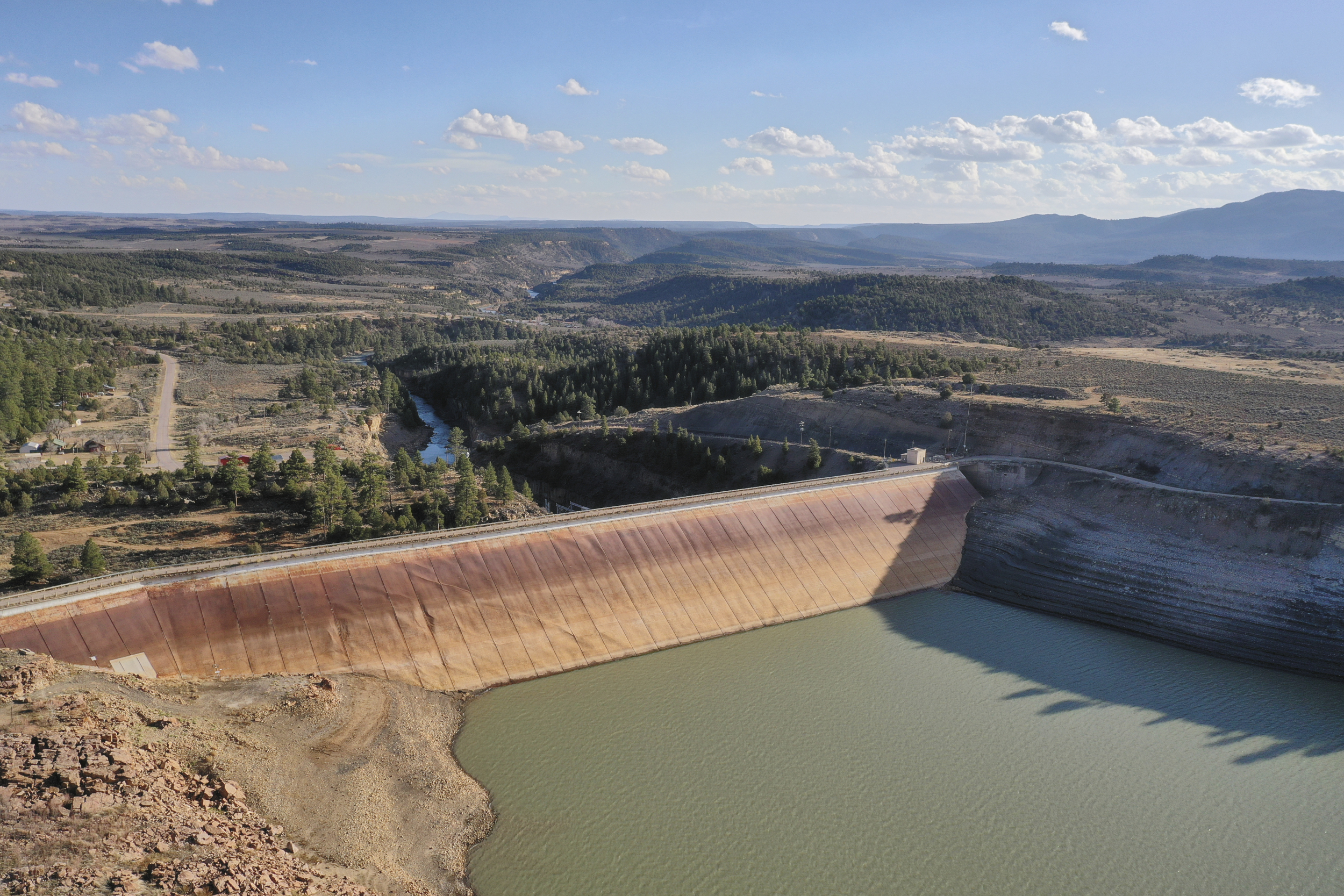
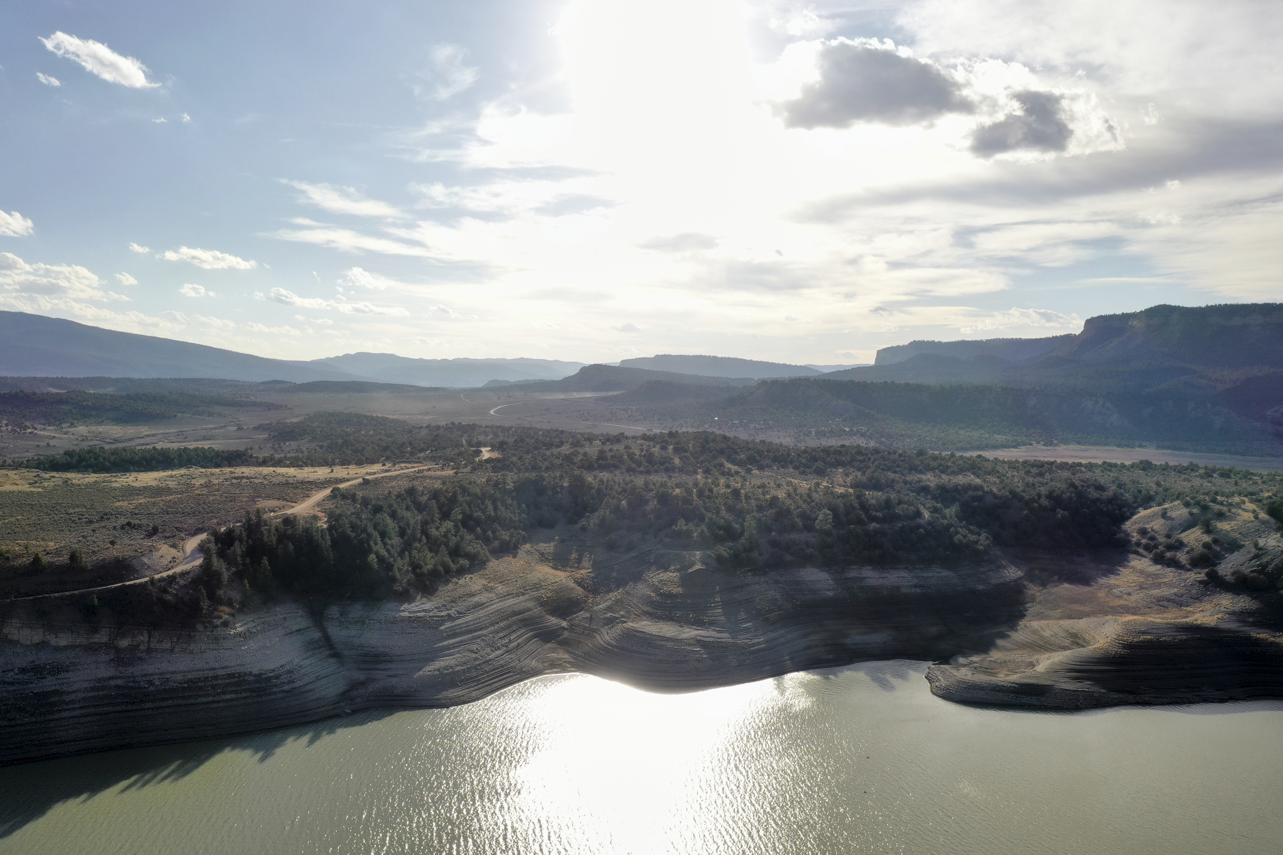
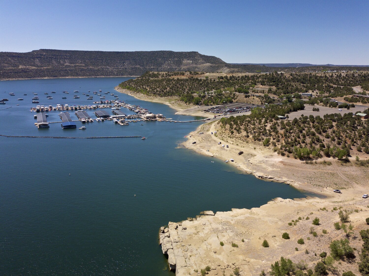
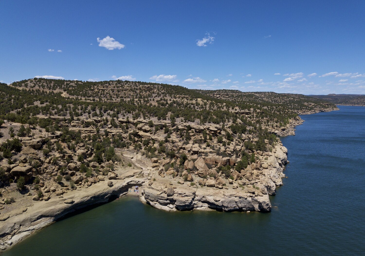
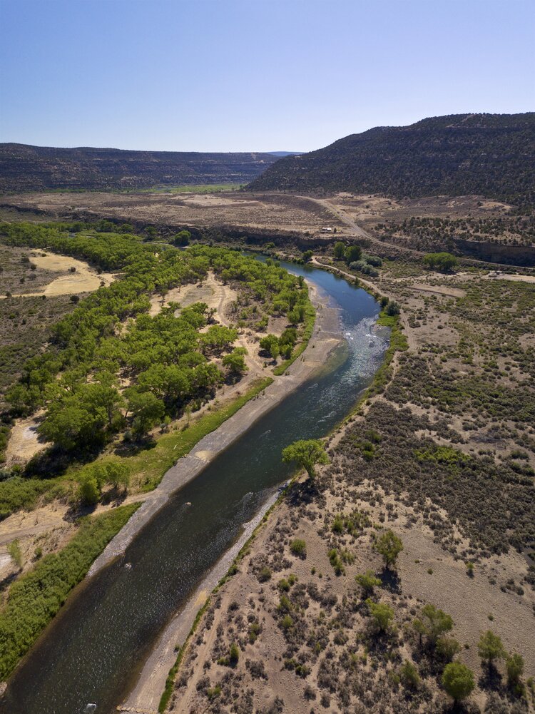
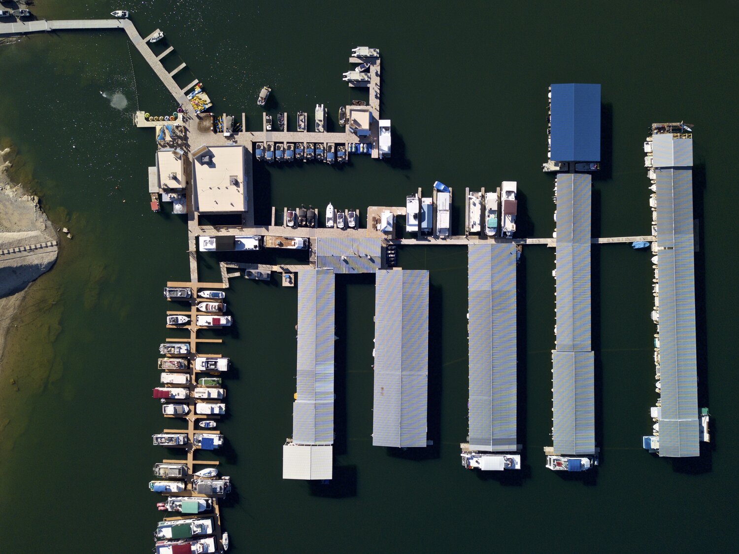
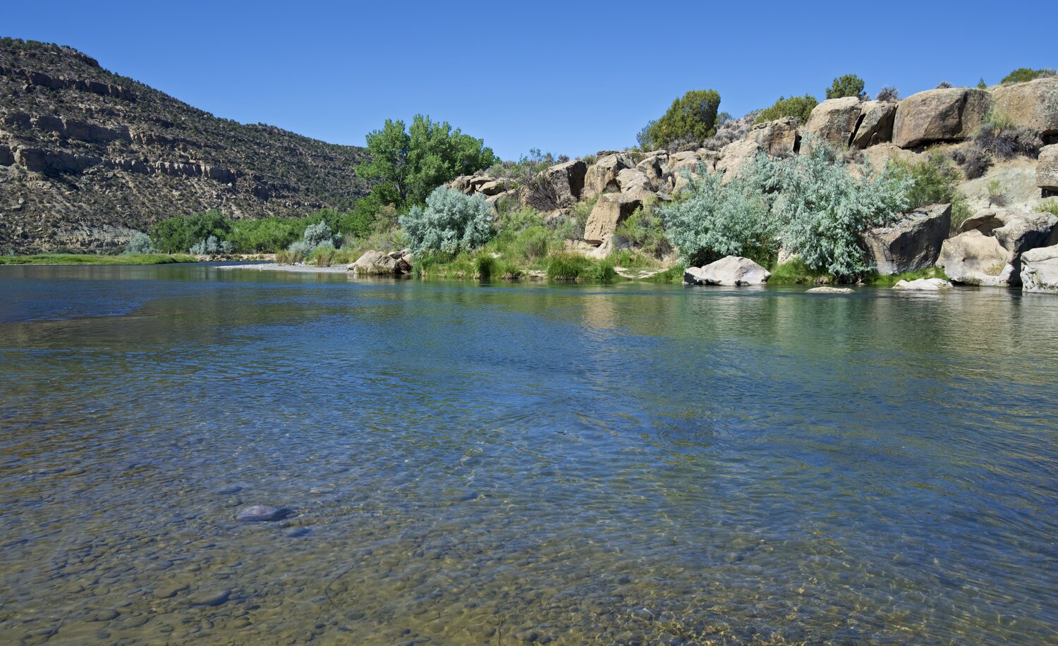
Flanked by stunning views of the Cerro Pedernal and the Sierra Negra, this region is perfect for the nature lover or outdoorsman in the family as it sits in close proximity of three lakes, a national forest and one of the premiere skiing destinations in the state. In addition, some of the best fly fishing in New Mexico can be found along the banks of the Rio Chama, conveniently located just a few miles outside the entrance to the subdivision.
LEGAL INFORMATION
When we speak of property we typically use an address — 123 Main Street for instance.
As most vacant land does not have a physical address, however, county governments will identify it in other ways, such as a “legal description”, a parcel number or a tax code. The information provided in the table above are the ways in which the various state and county agencies will identify this specific parcel of land. These signifiers are important to have when speaking with these agencies – whether they be the assessor, the zoning office, or even the local utilities – and may prove invaluable when initiating conversations about whatever research a buyer intends to do.
Whenever one exists or has been assigned to the land, the physical address will be included in the Property Details section.
ACCESS & UTILITIES
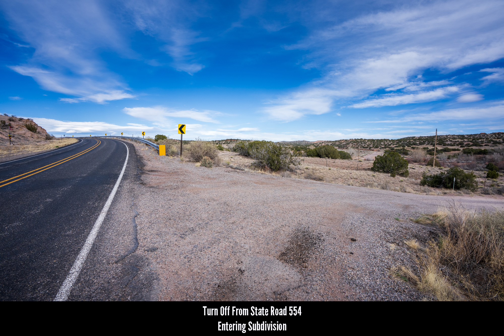
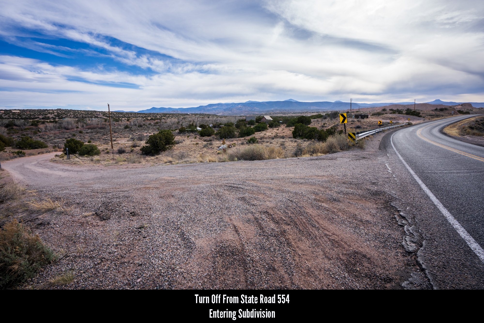
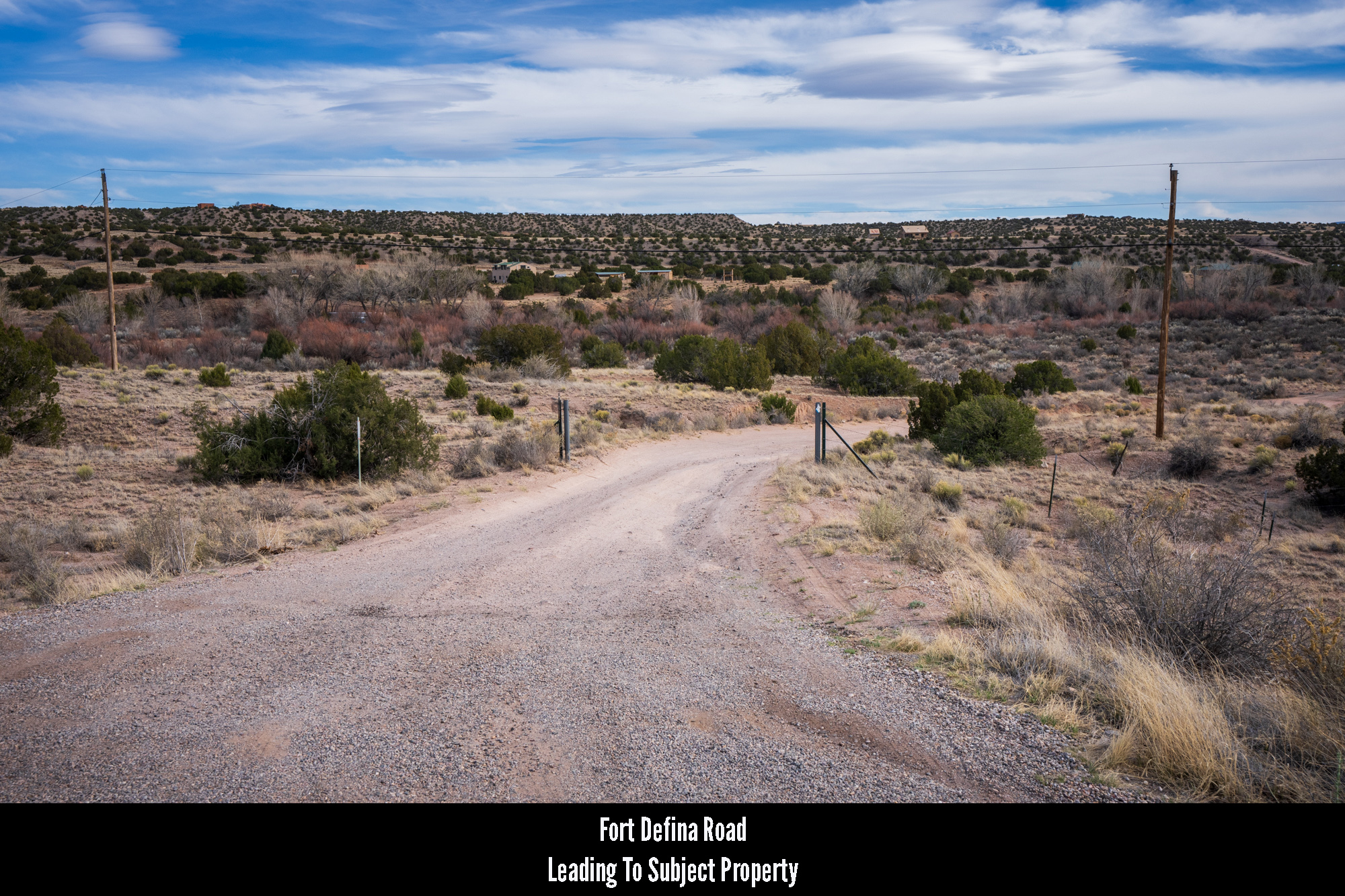
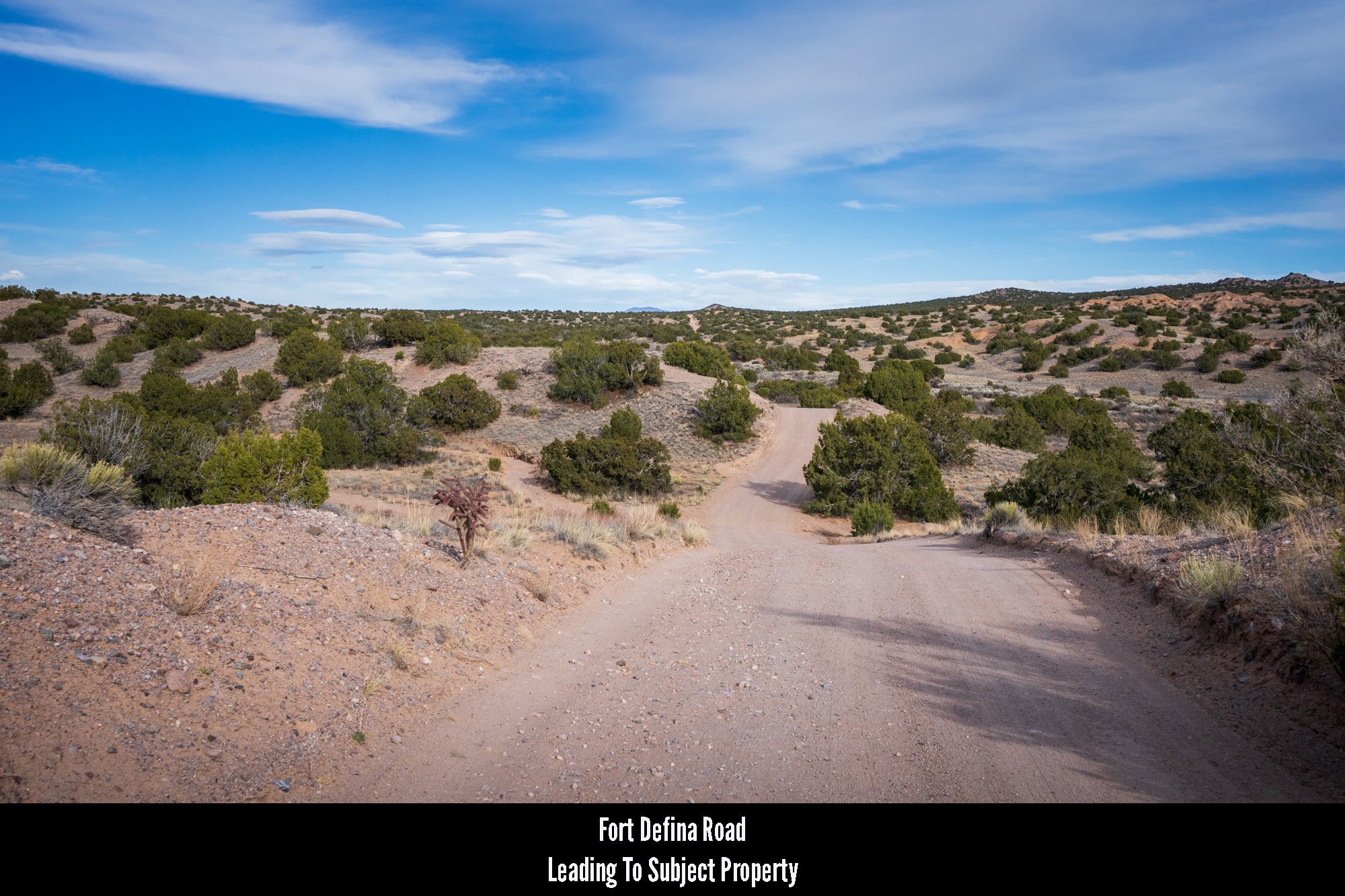
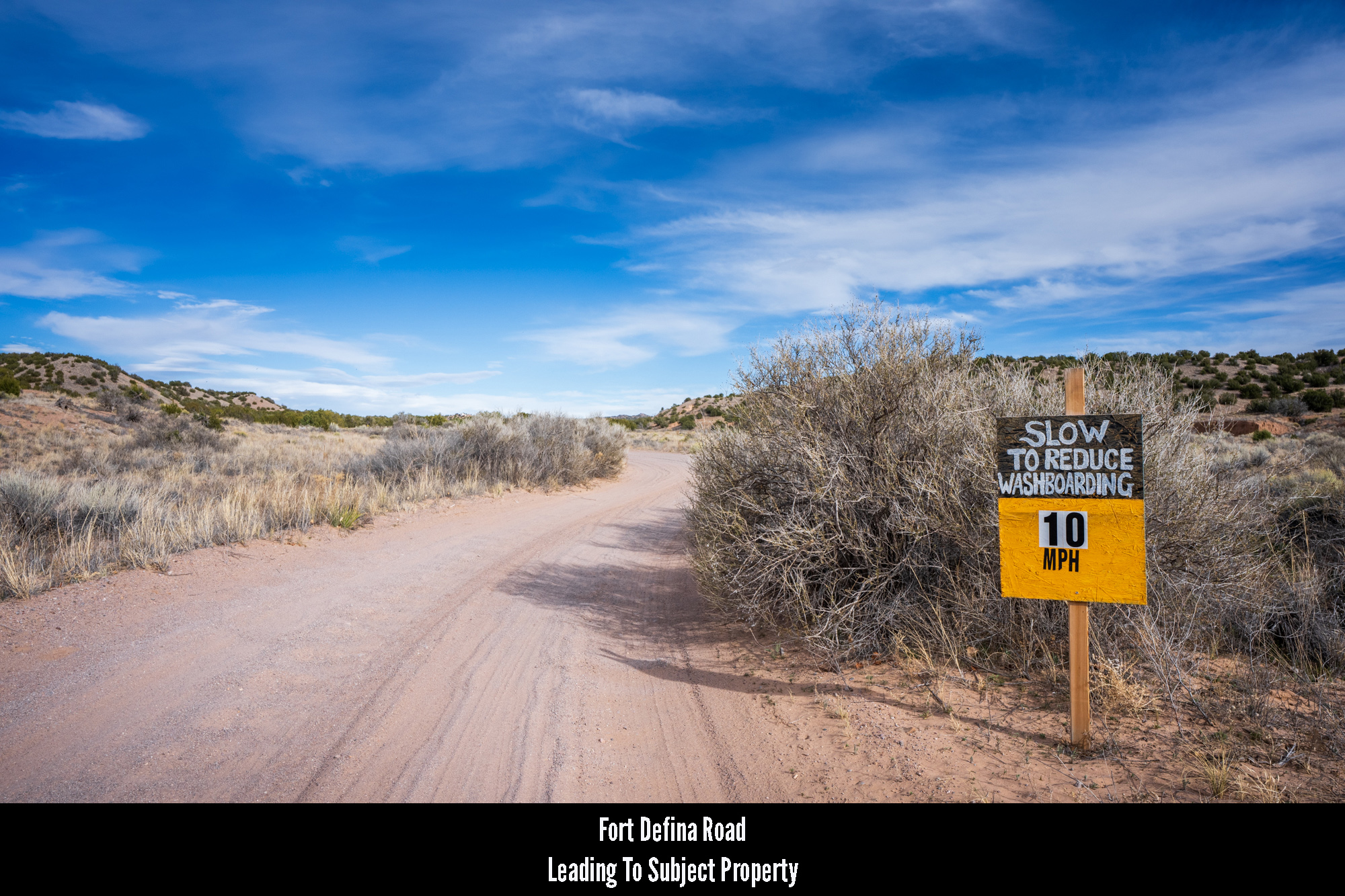
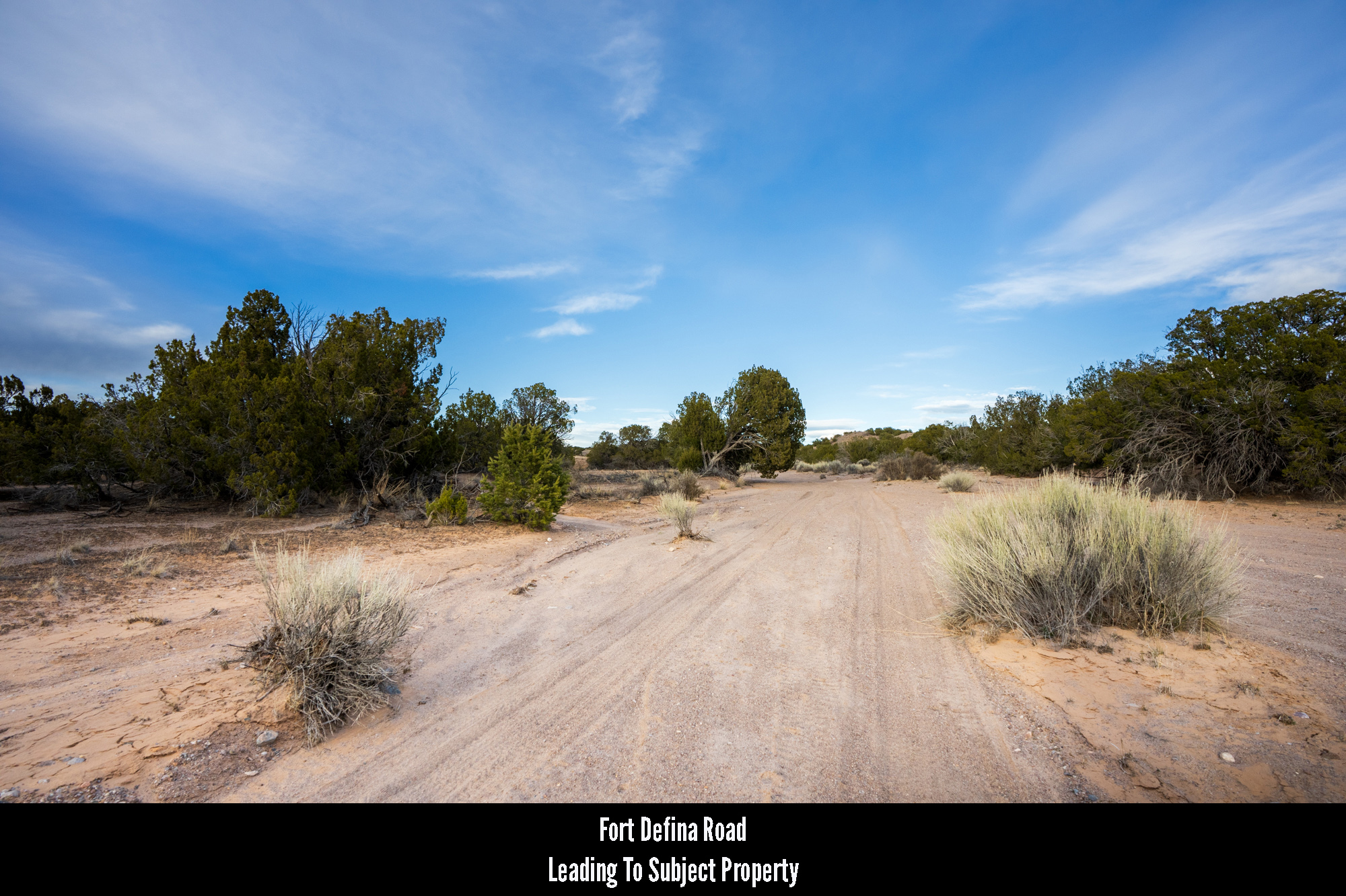
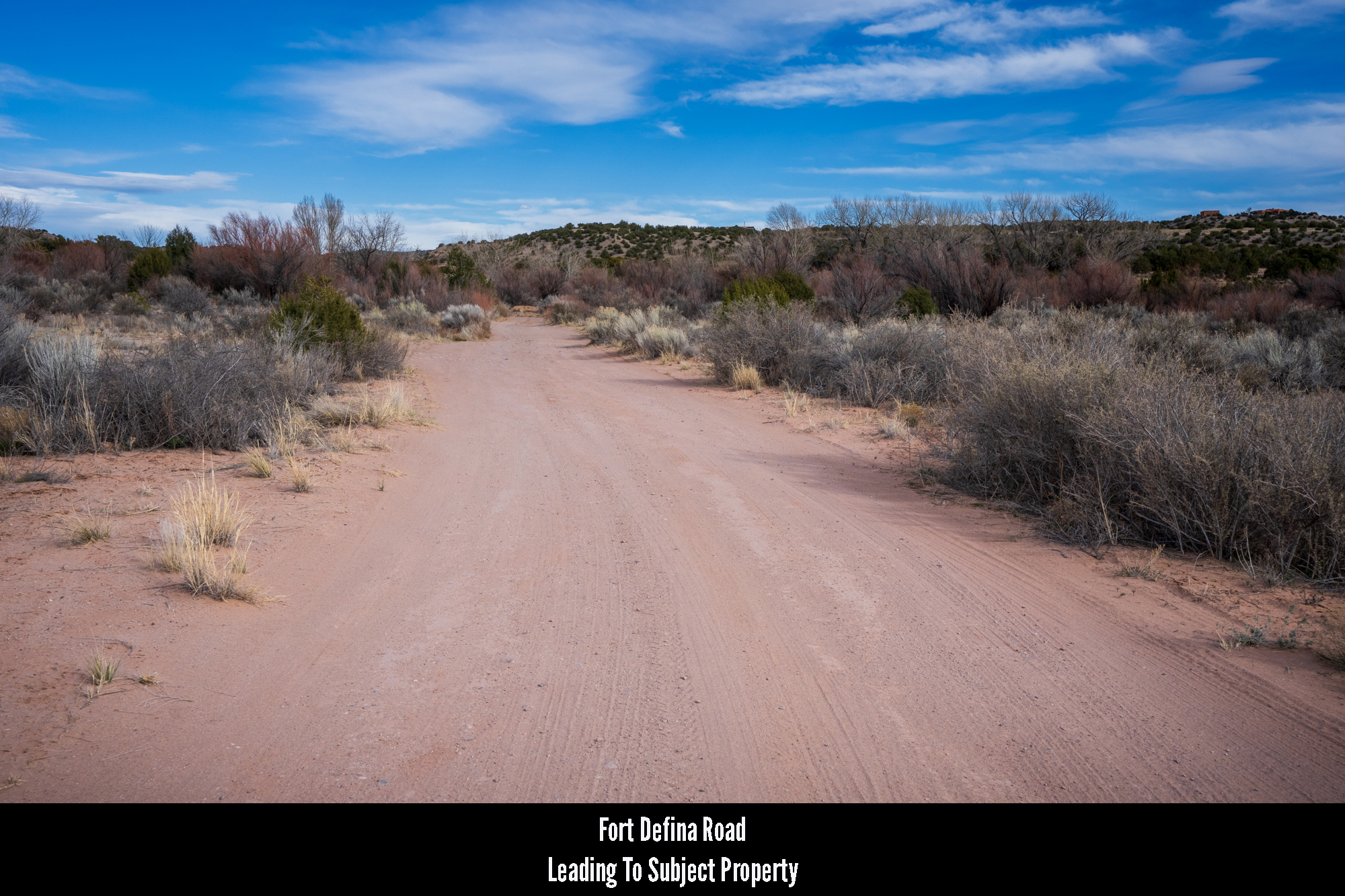
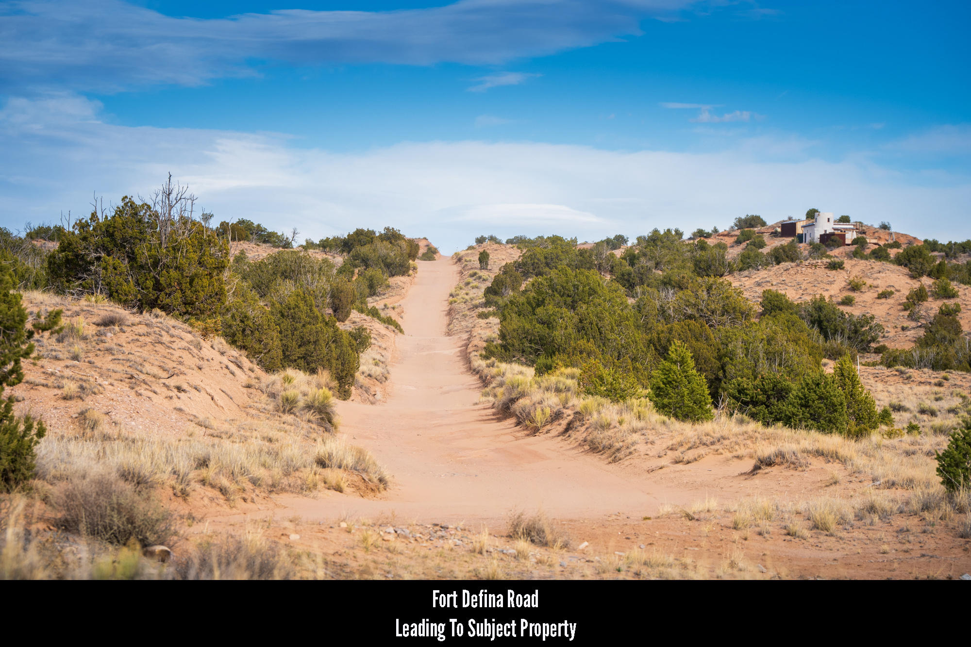
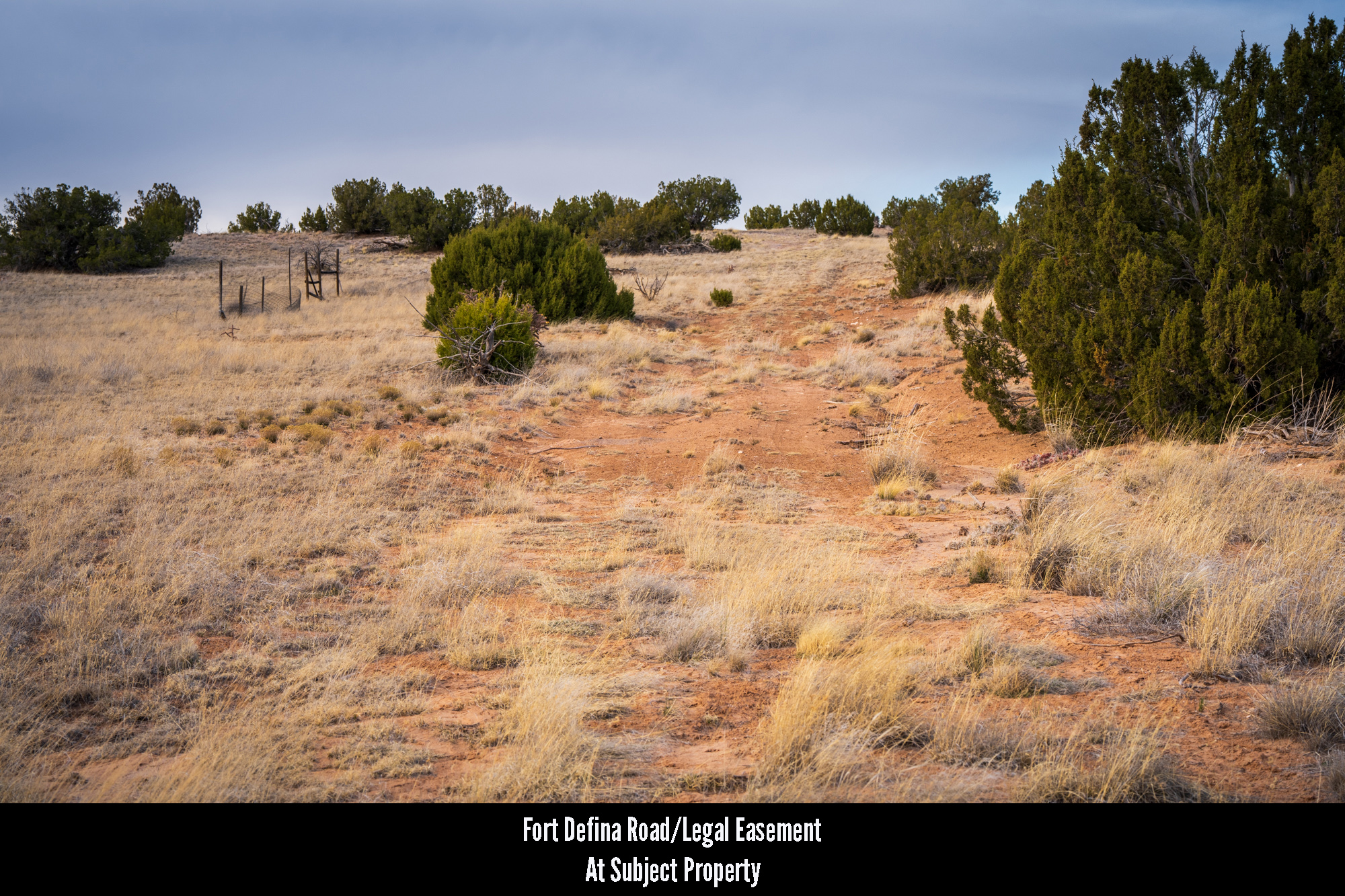
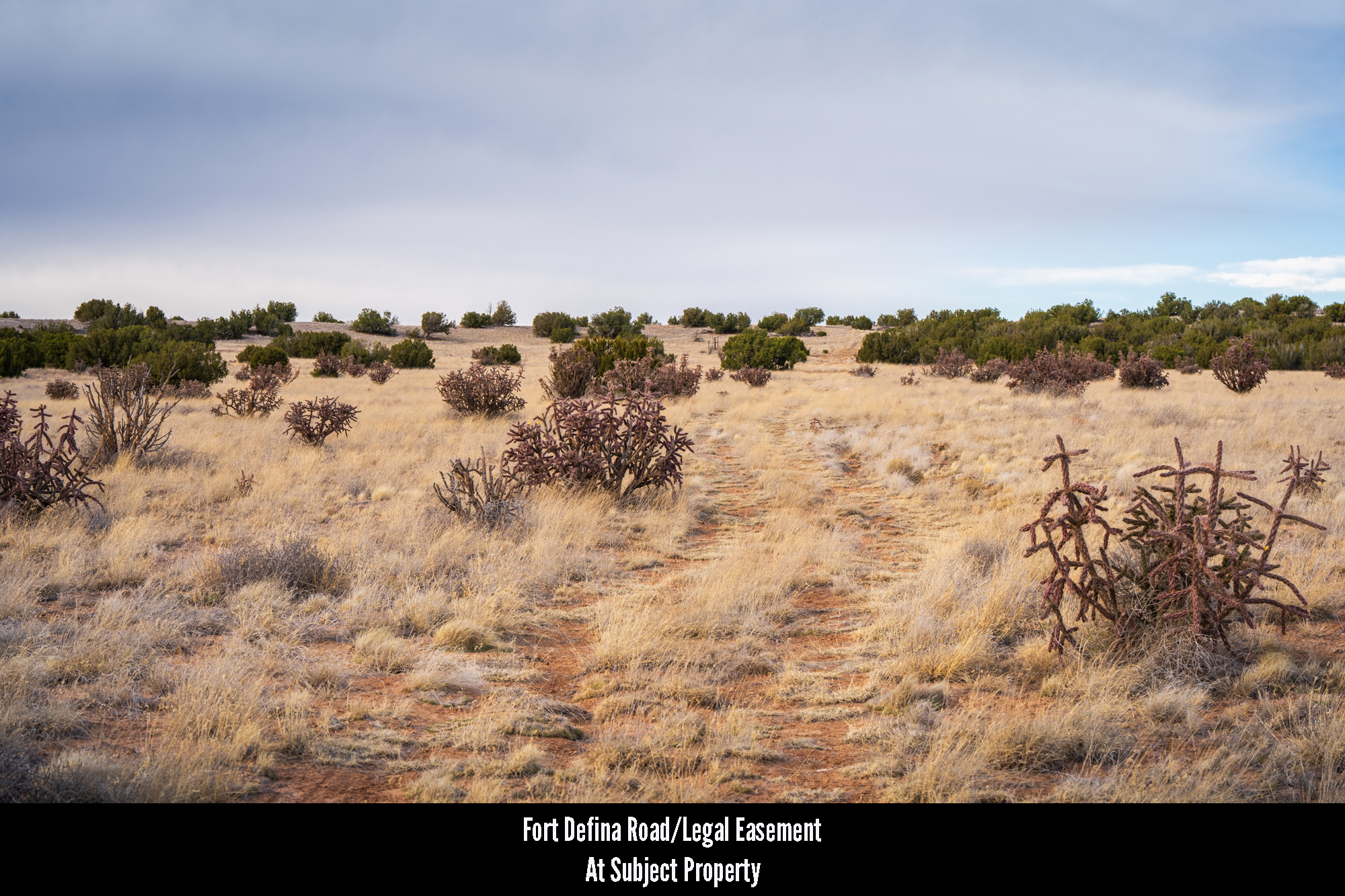
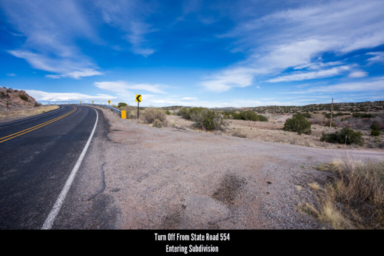
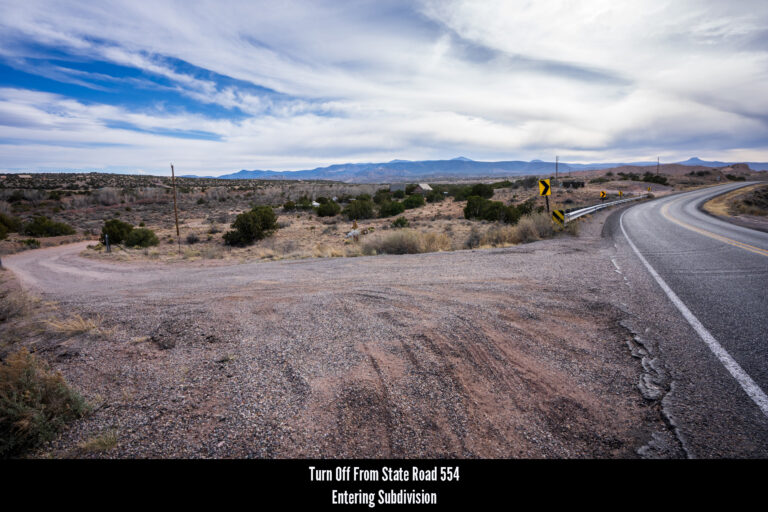
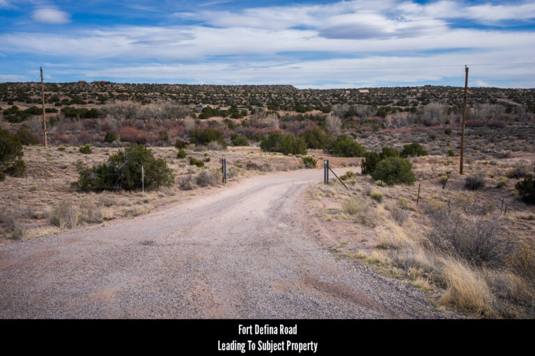
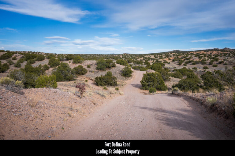
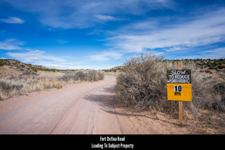
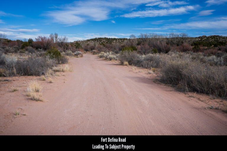
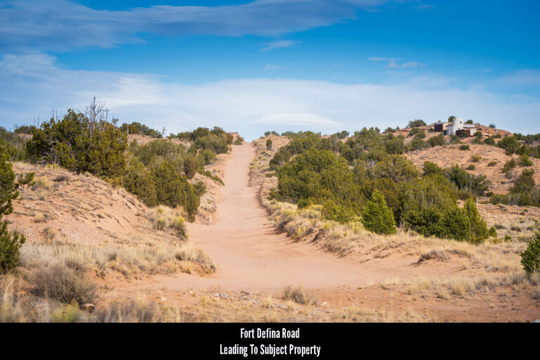
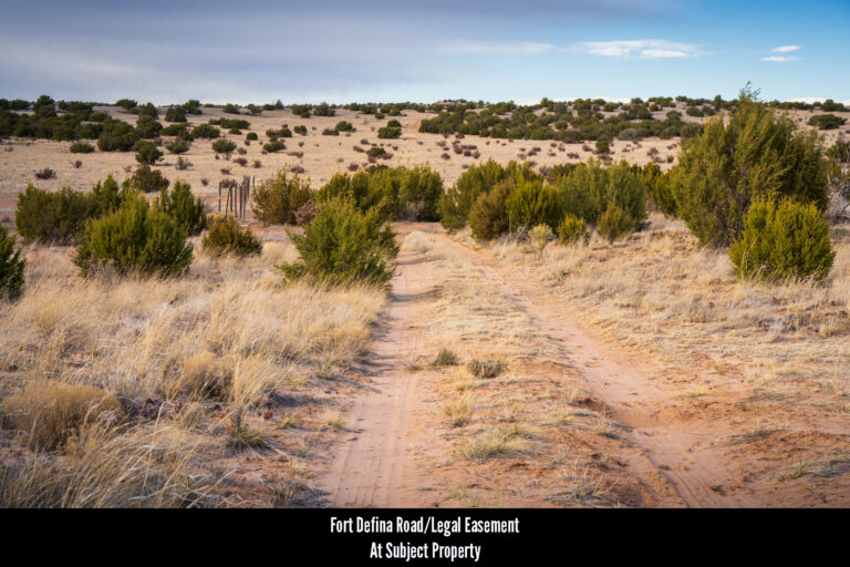
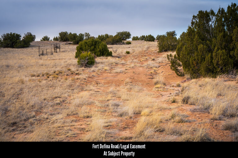
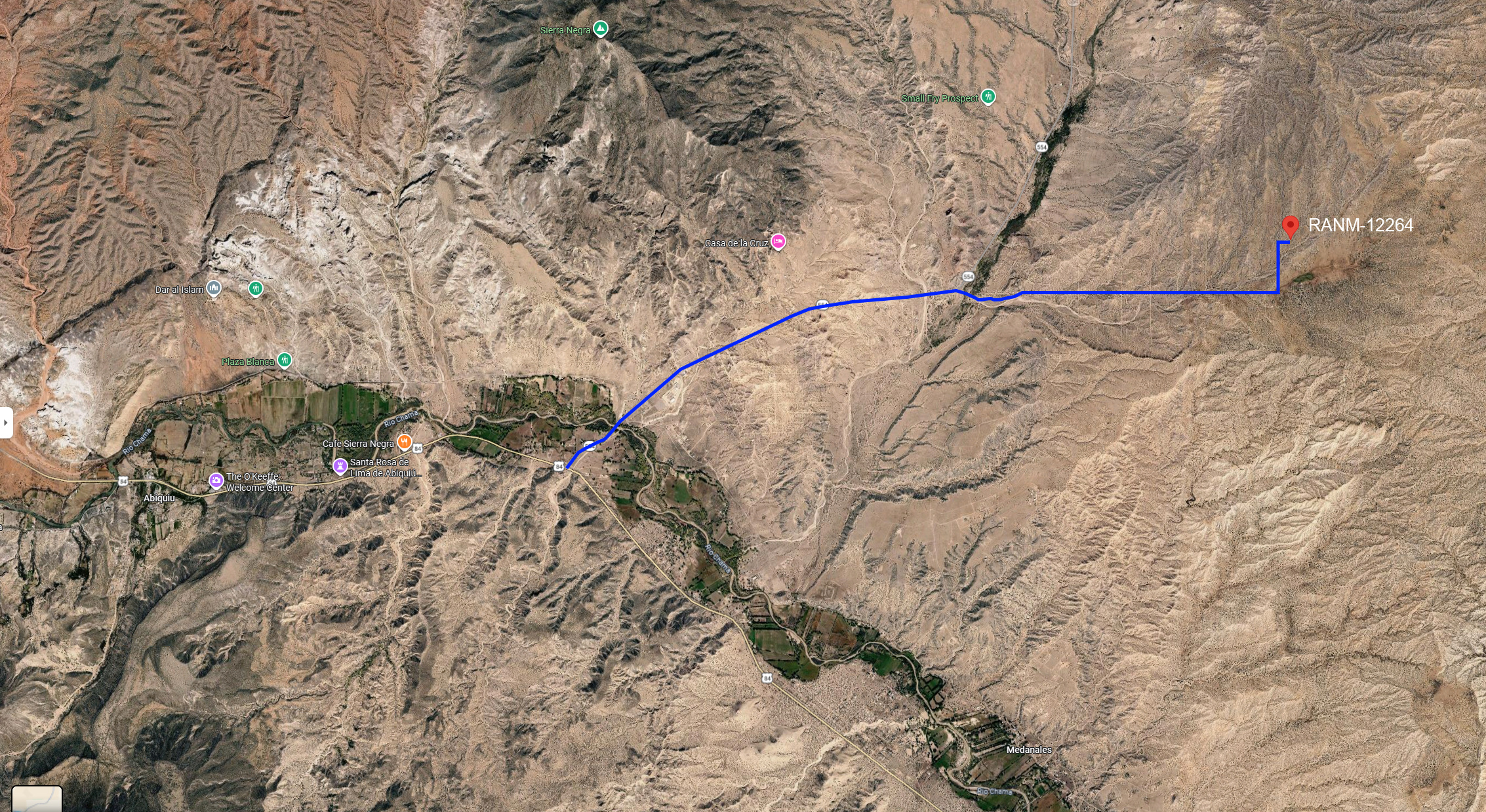
Roads & Access: The subject property is located at the far eastern end of El Rito Estates, a subdivision which sits just east of State Road 556. There is one primary arterial within El Rito Estates which some maps identify as Fort Defina Road and other maps identify as El Rito Estates Road. It is this road which turns off the paved state road and will take you 95% of the way to the subject property.
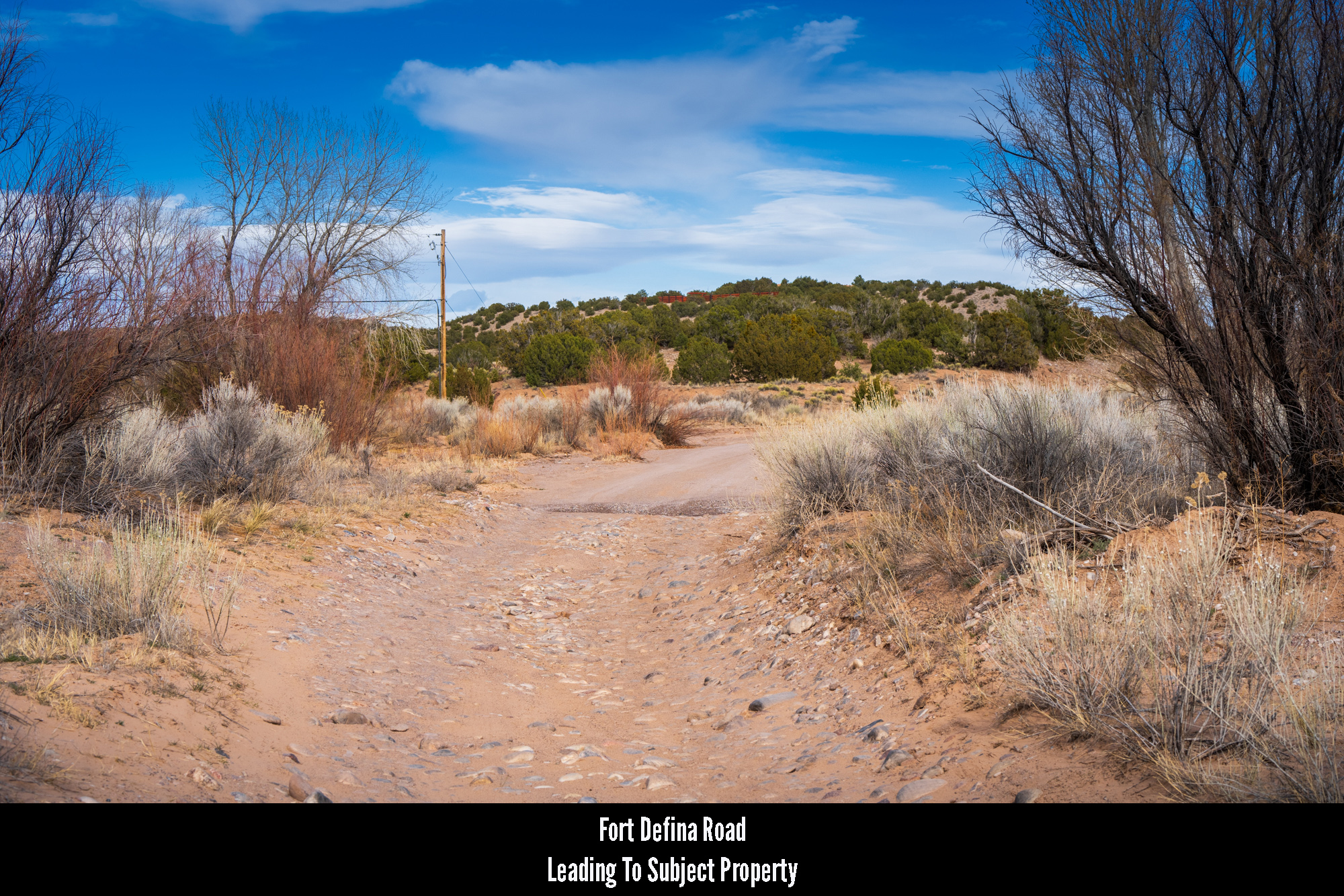
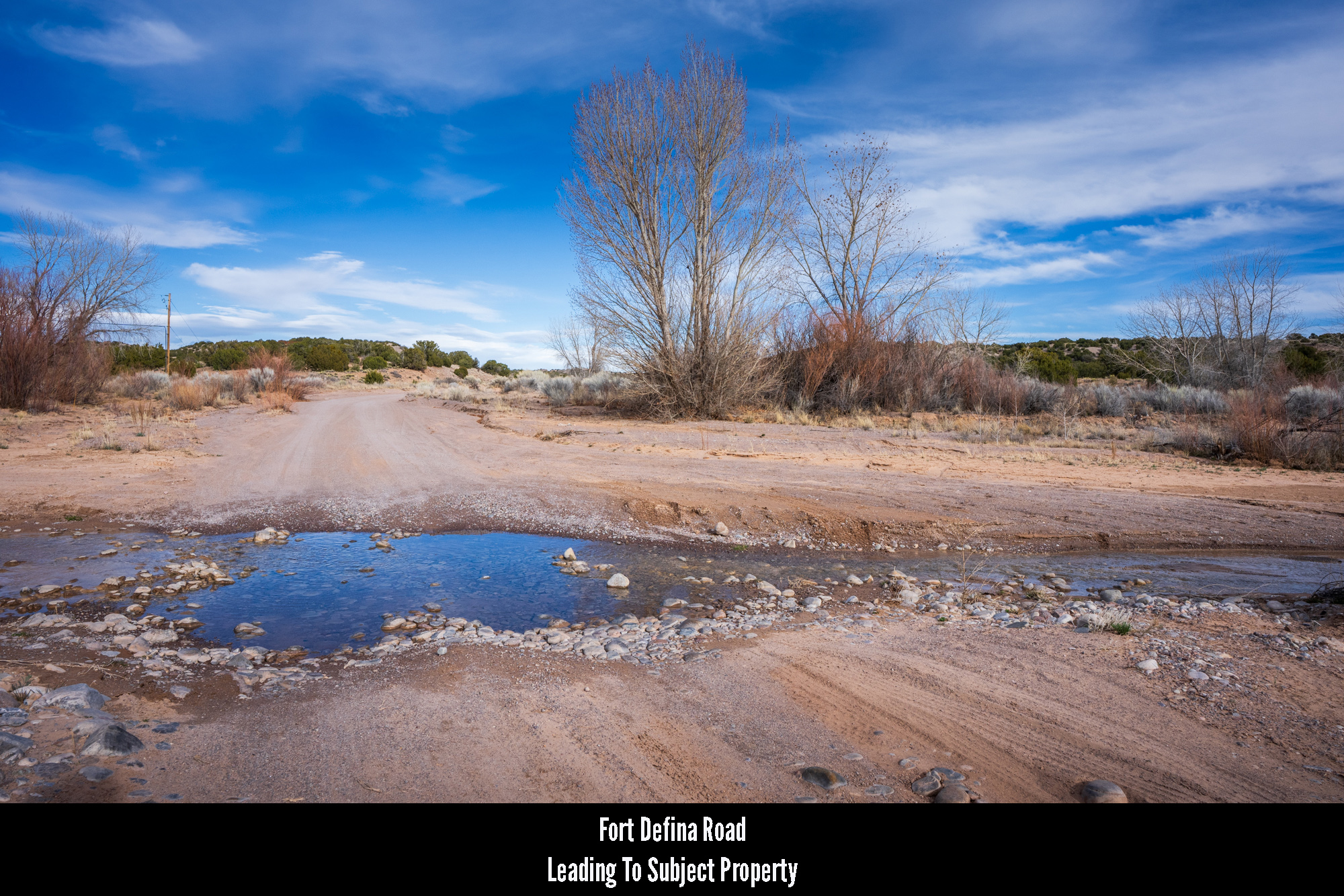
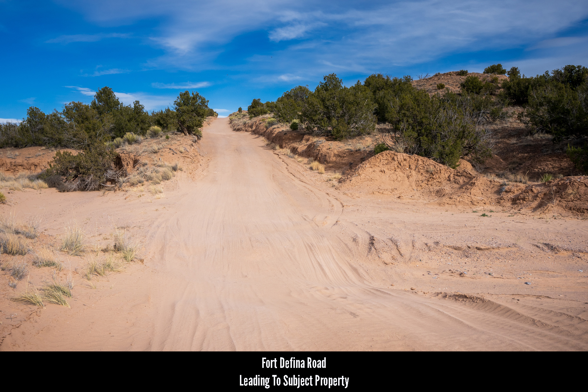
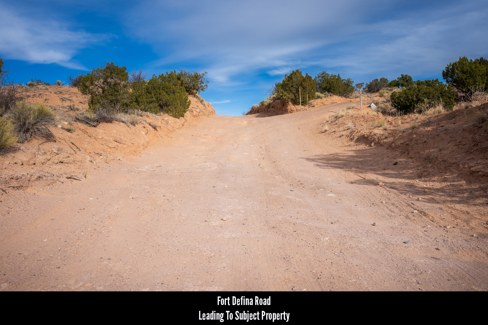
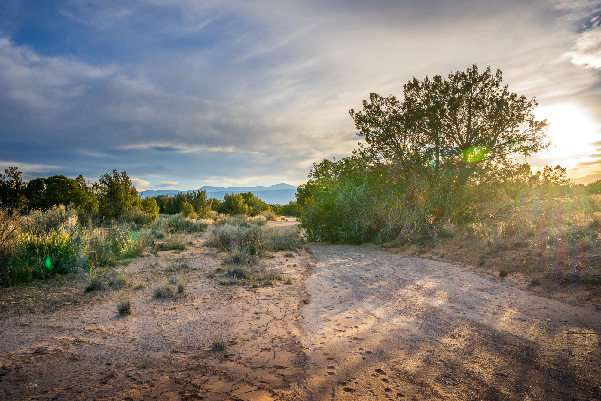
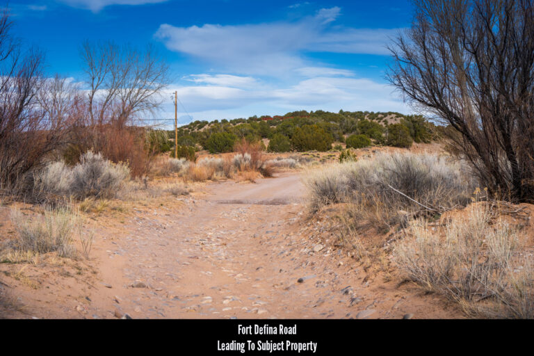
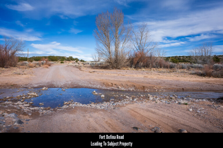
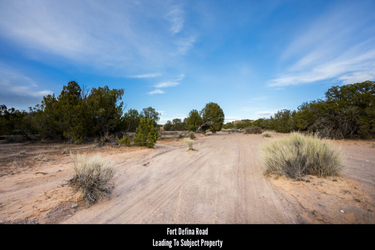
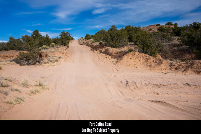
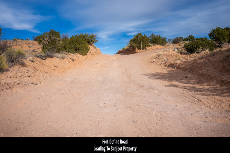
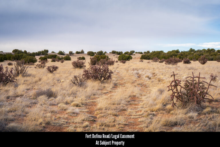
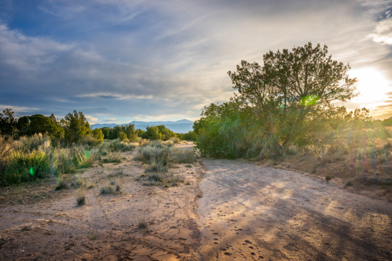
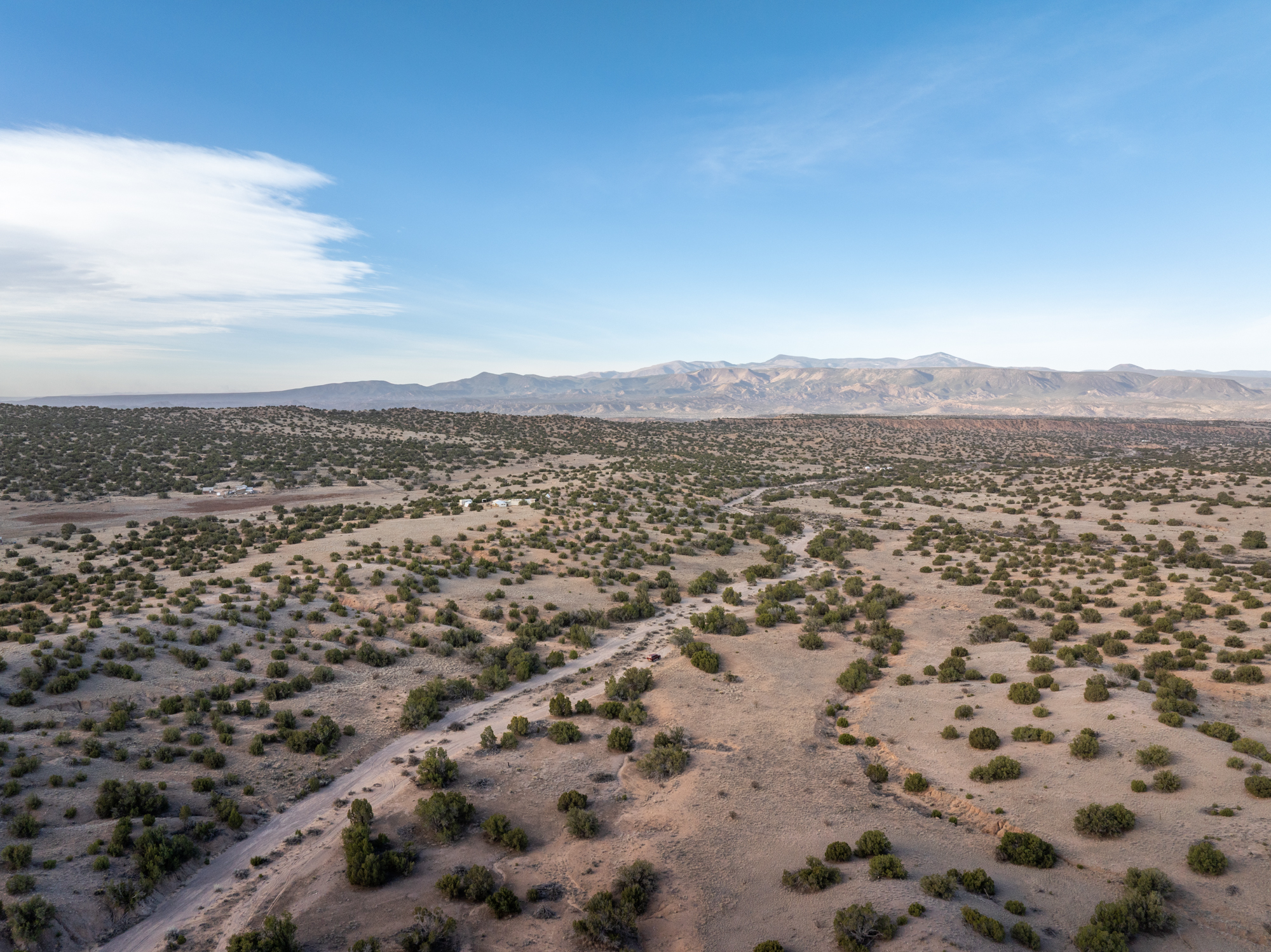
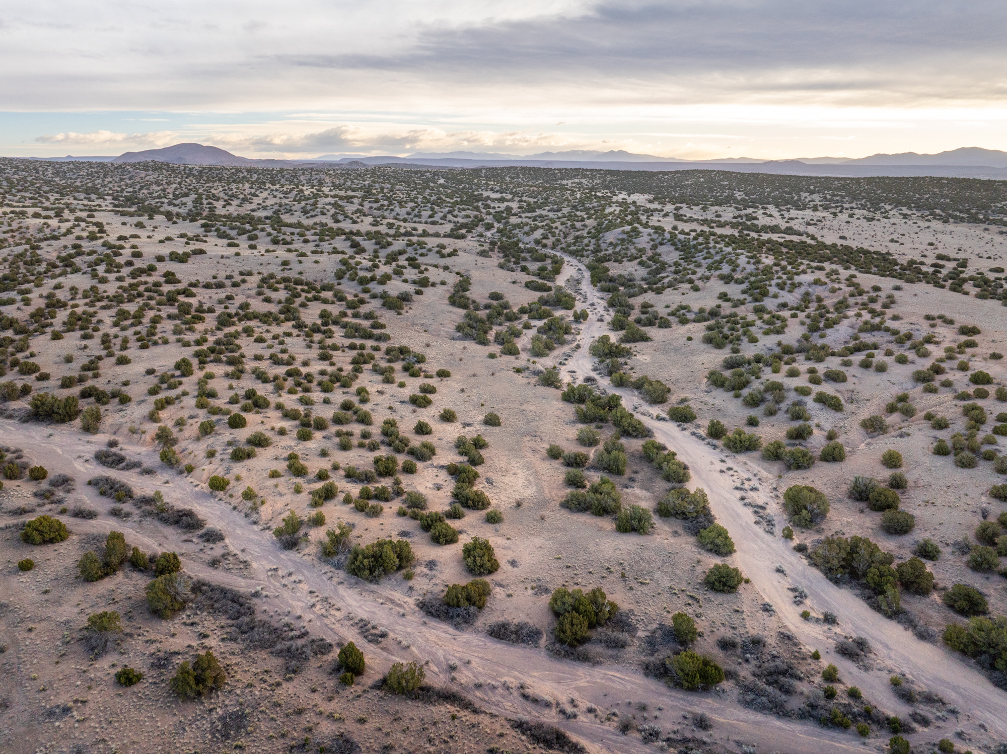
Roads & Access, Cont’d: It should be noted that Fort Defina Road becomes less maintained the further east you drive on it. It begins as graded gravel, transitions to graded dirt and gravel, eventually takes on a sandy consistency and then transitions into a two-track dirt road. Despite these less-than-ideal conditions, however, our photographer assures us it’s better than it looks and can be navigated by any vehicle type. That said, we recommend anyone scouting the land for the first time take a larger truck or off-road capable vehicle.
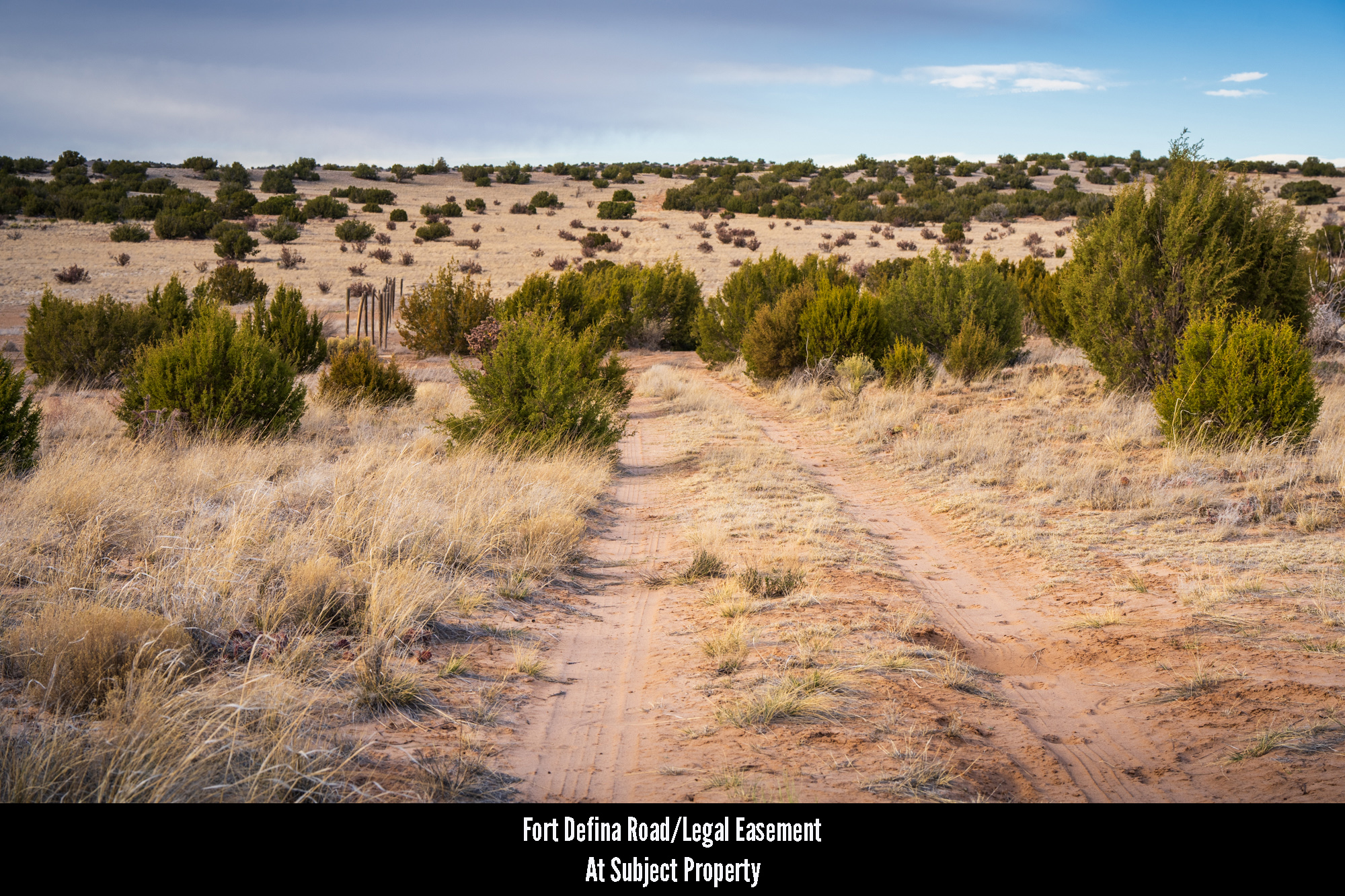
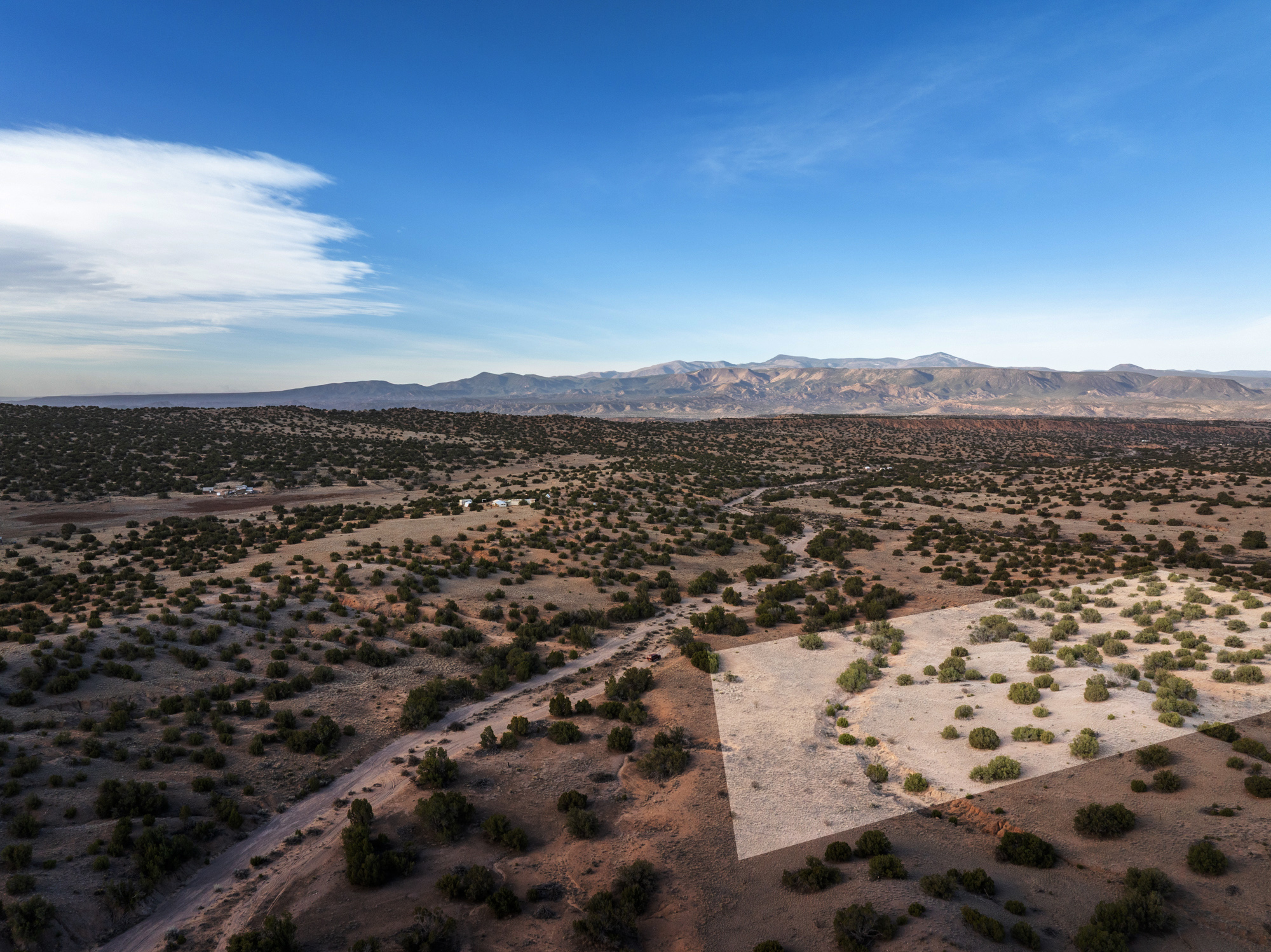
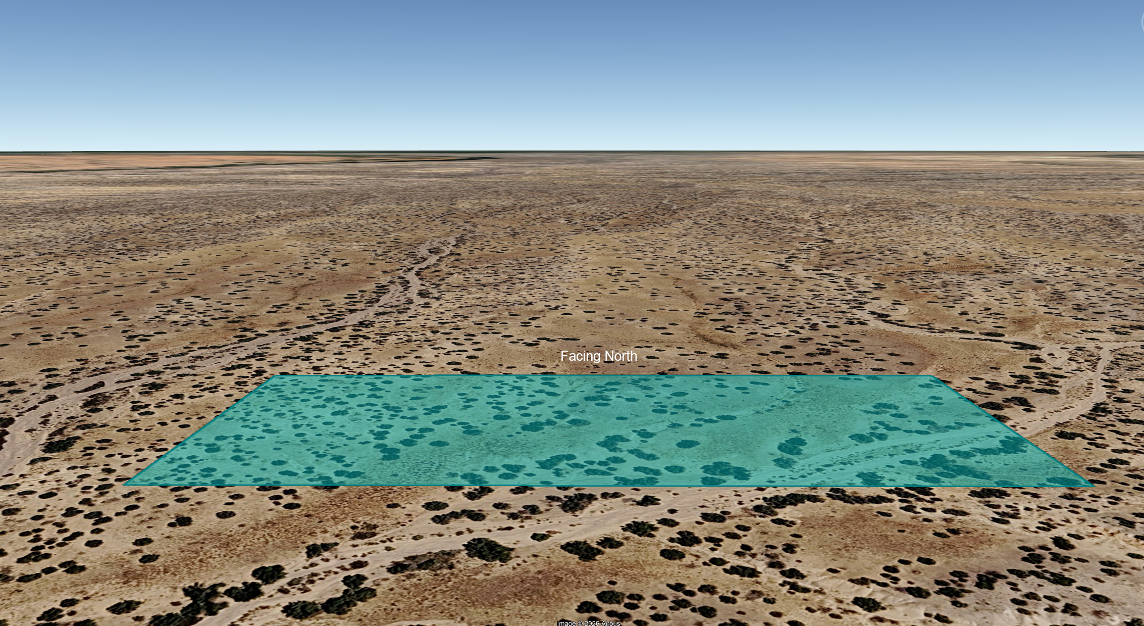
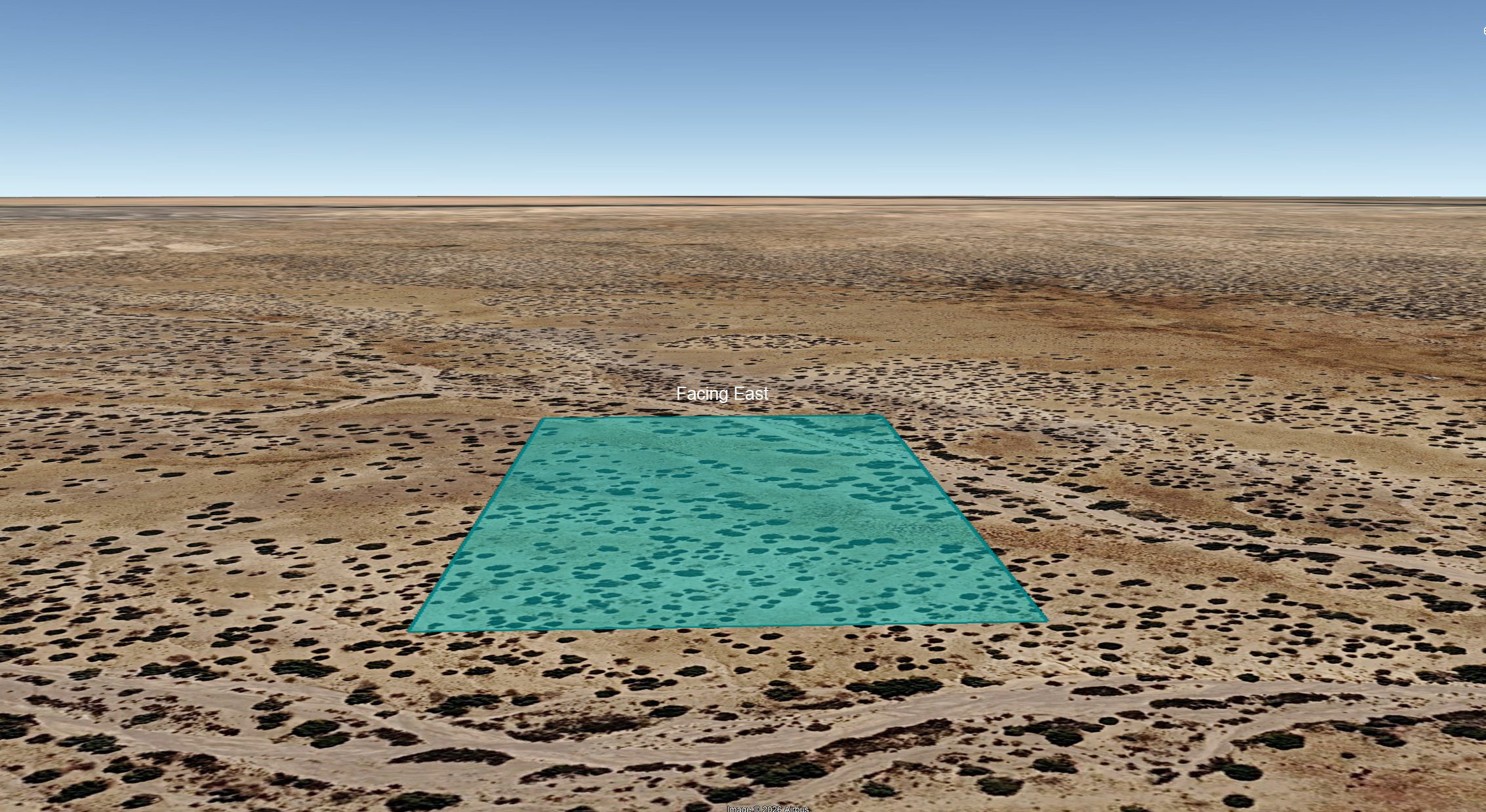
Roads & Access, Cont’d: Because the subject property is located just north of Fort Defina Road, anyone scouting the property will need to drive until this road dead ends and then turn north along another road also identified as Fort Defina Road. Taking this road north and finally west will lead you along the northern boundary of the subject property. That said, due to the unmaintained nature of the roads (legal easements) it is advised that anyone scouting the property use a mapping app like Land ID to help focus their approach.
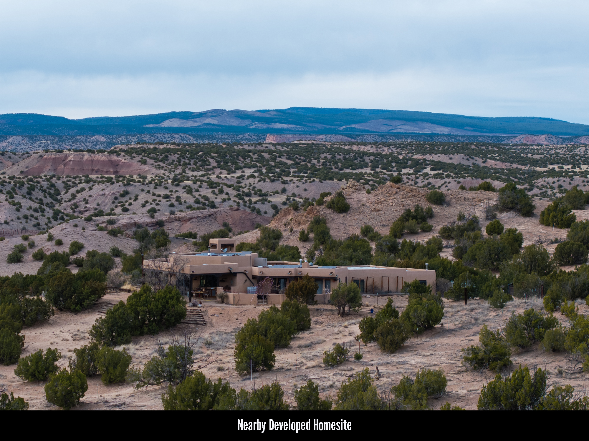
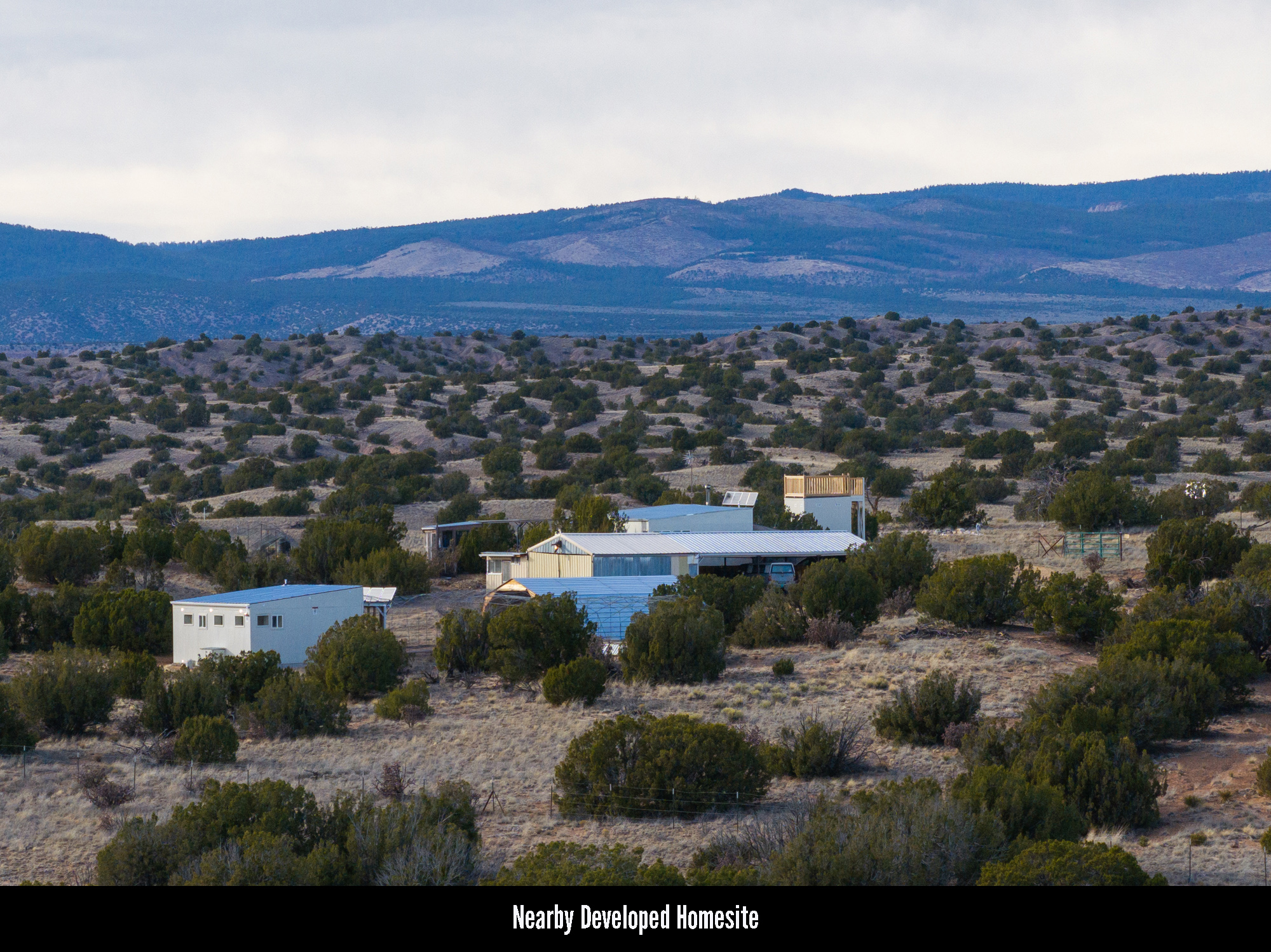
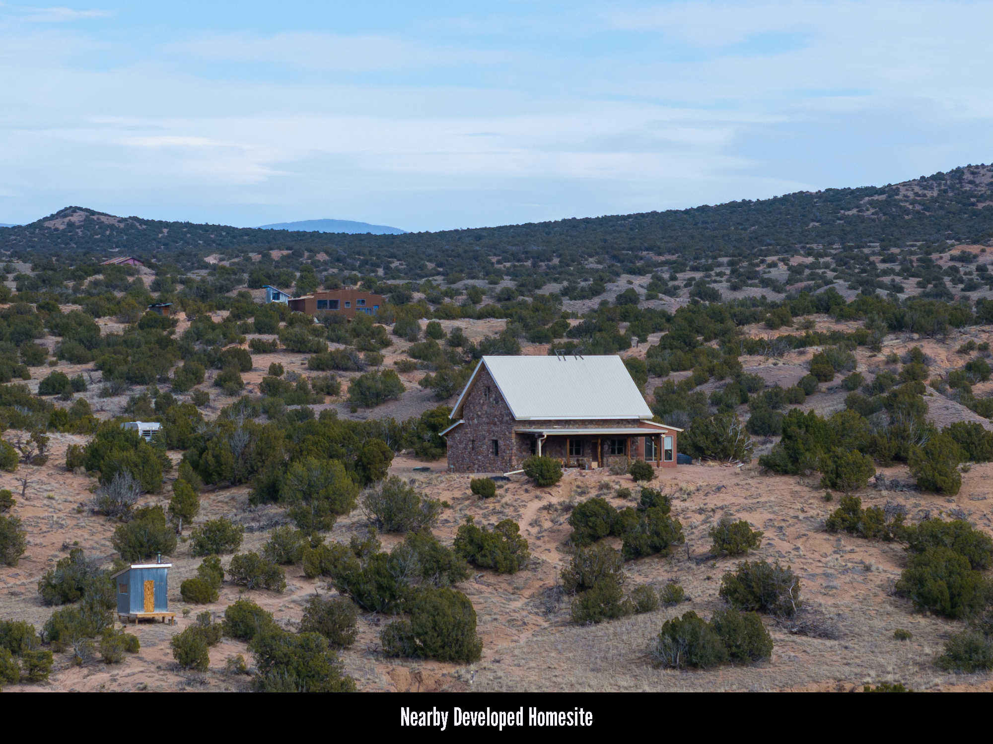
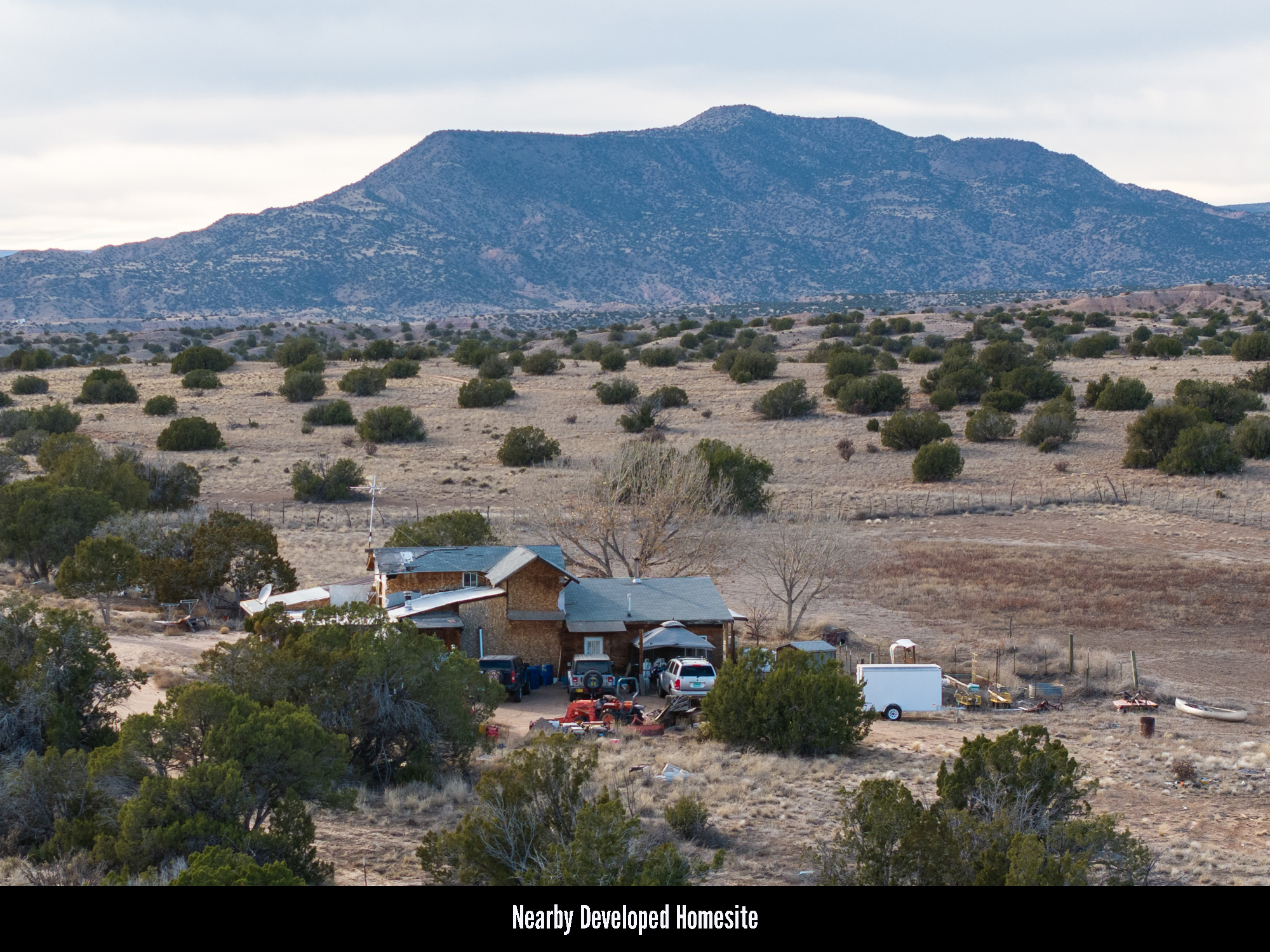
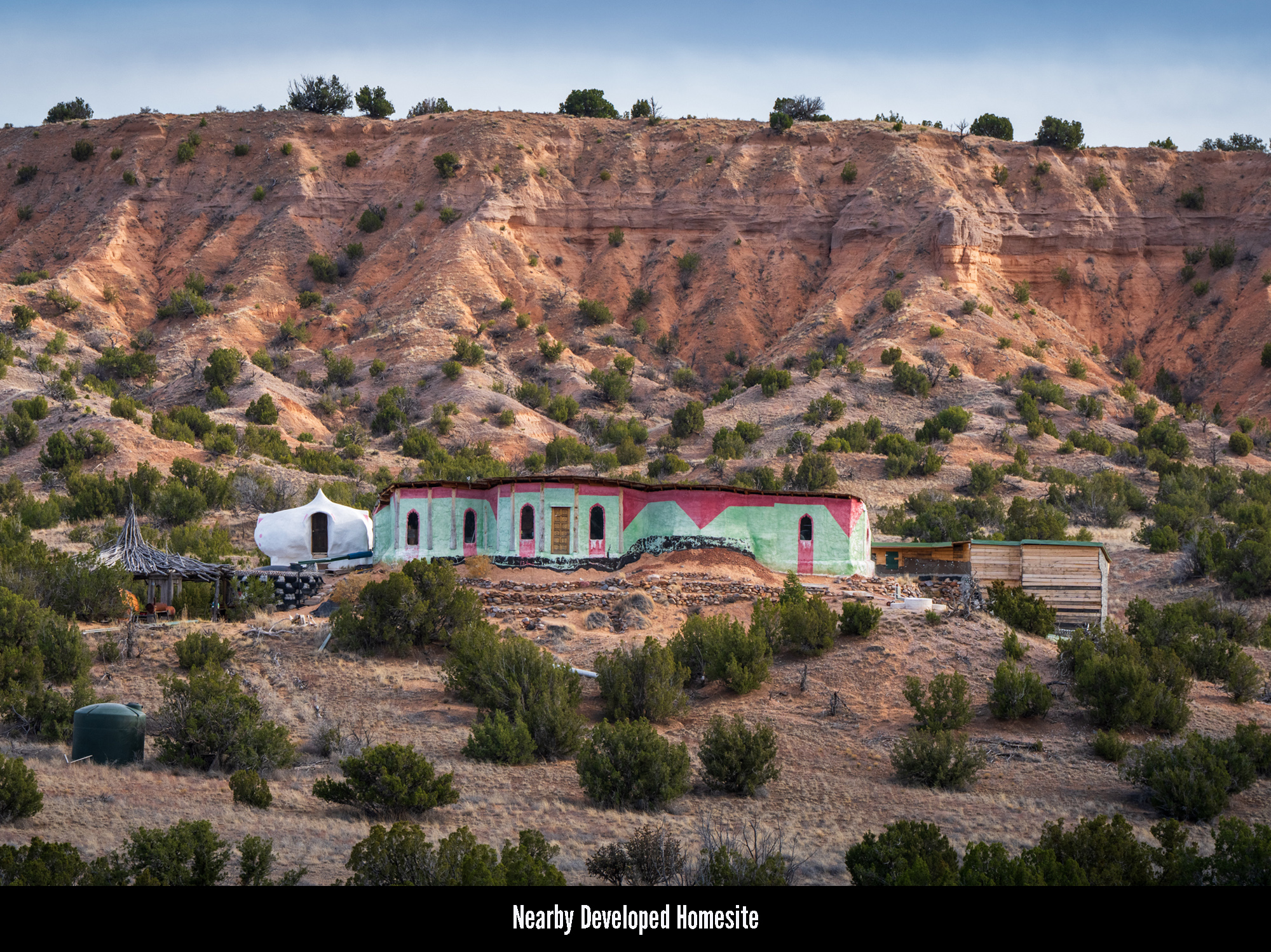
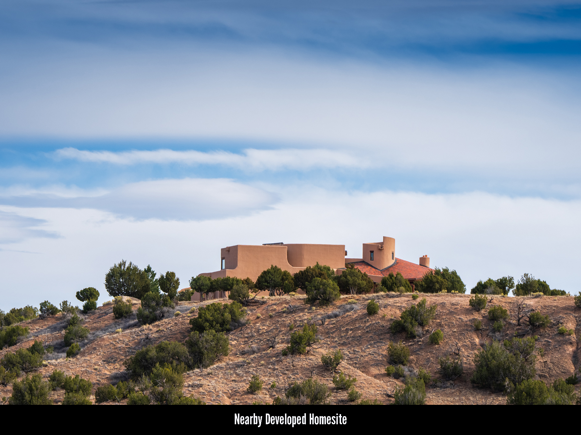
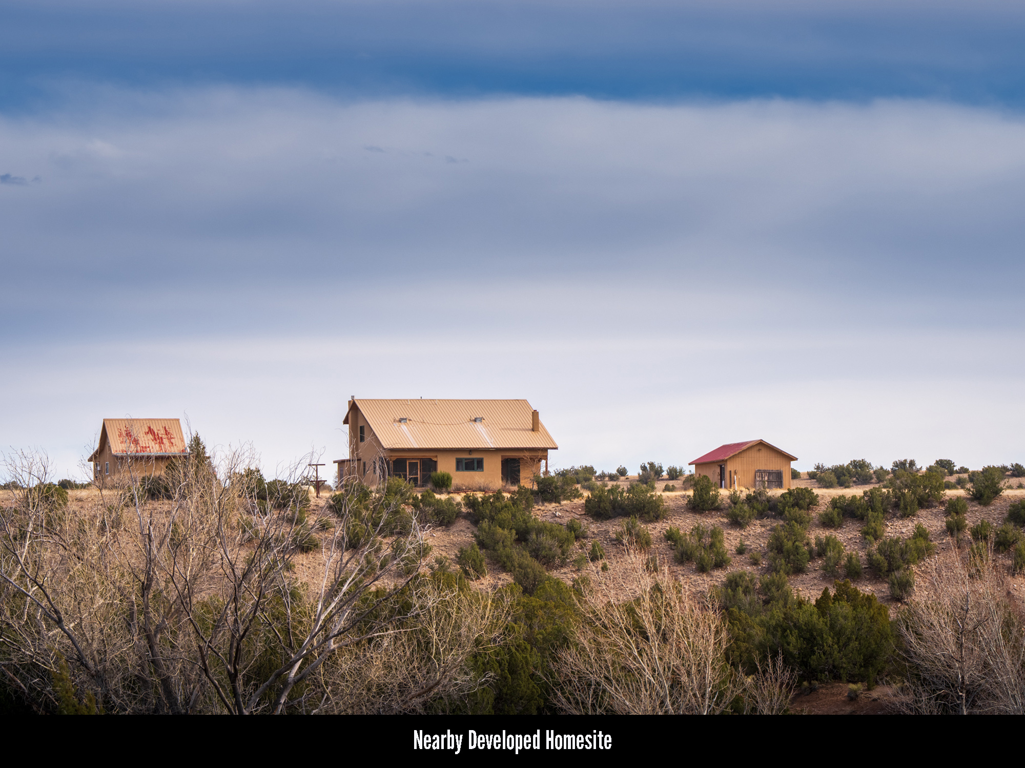
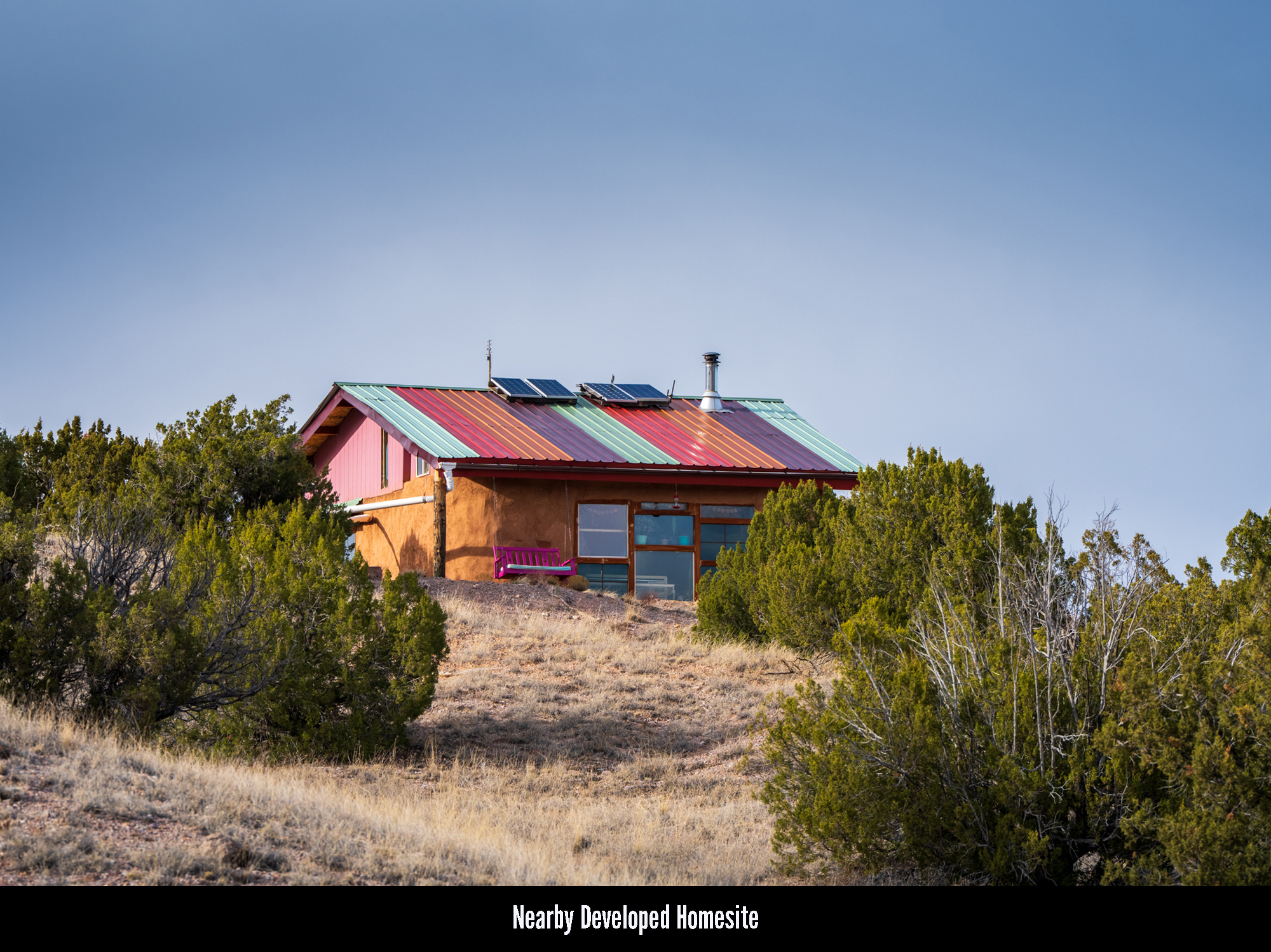
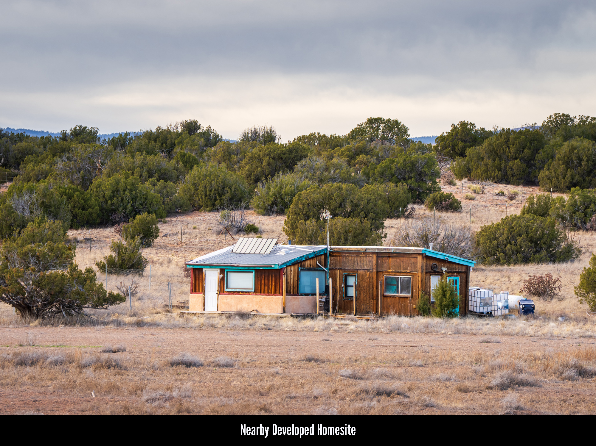
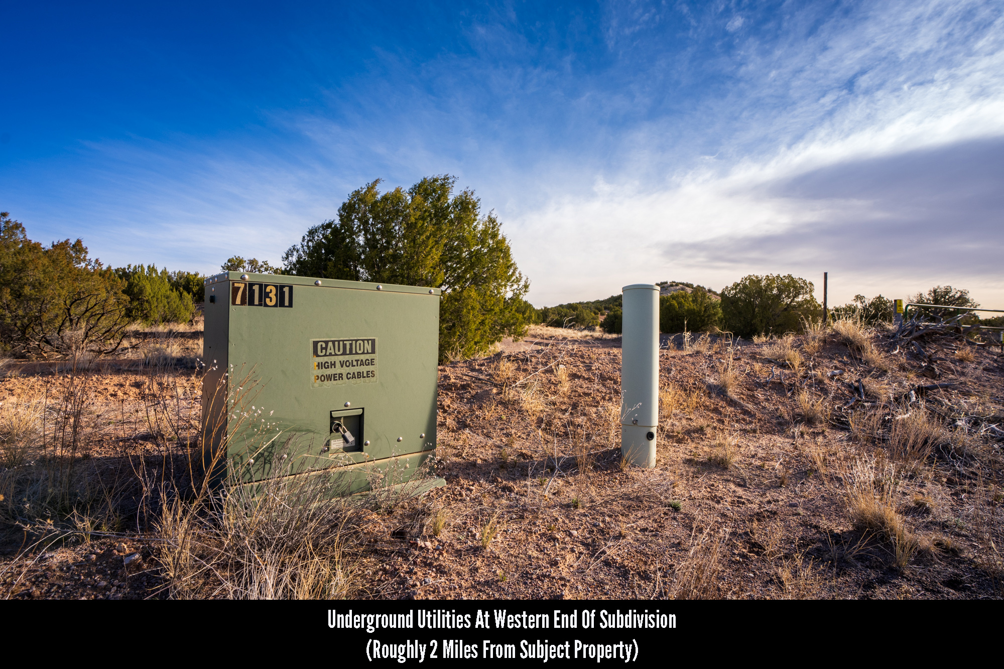
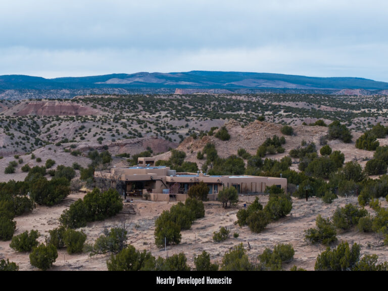
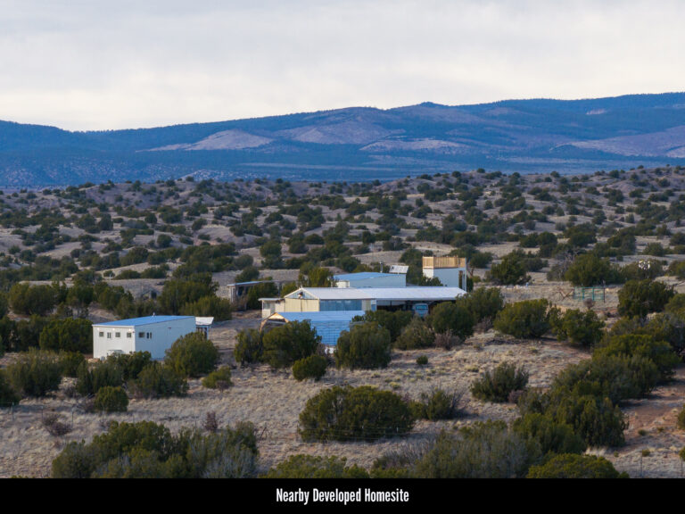
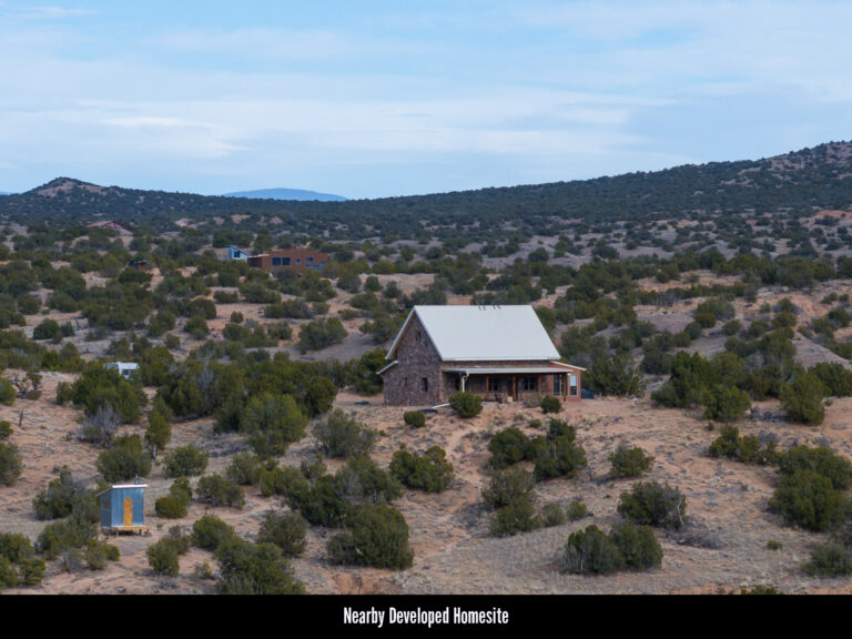
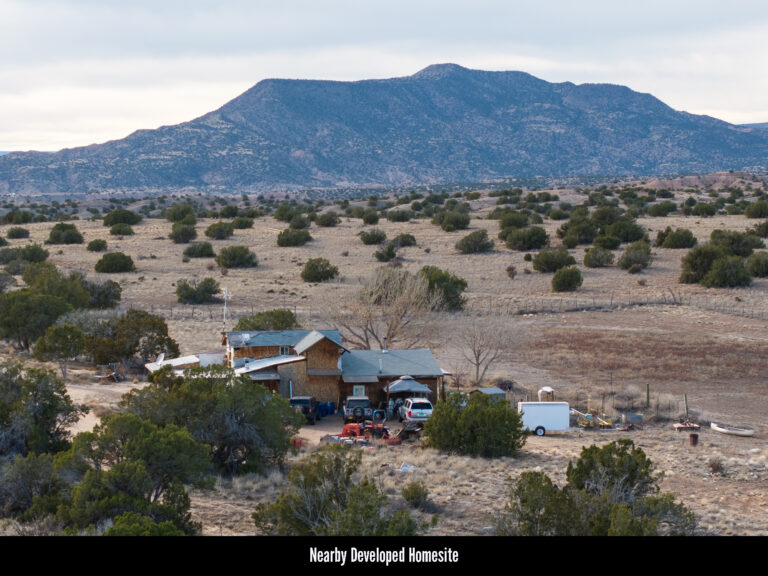
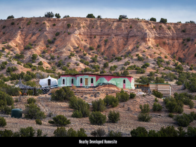
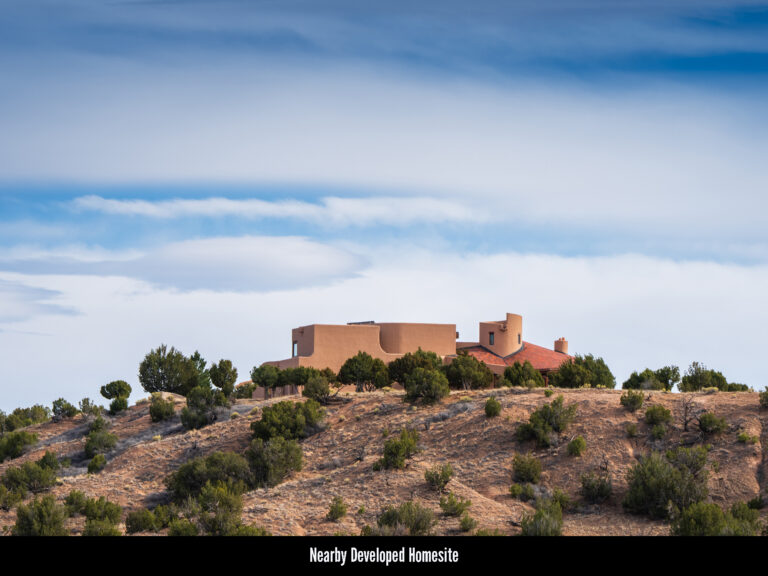
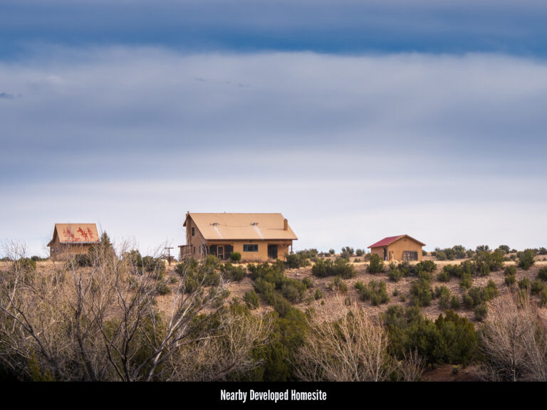
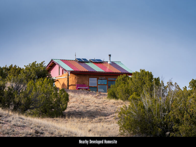
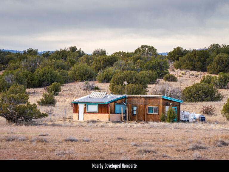
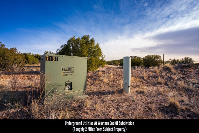
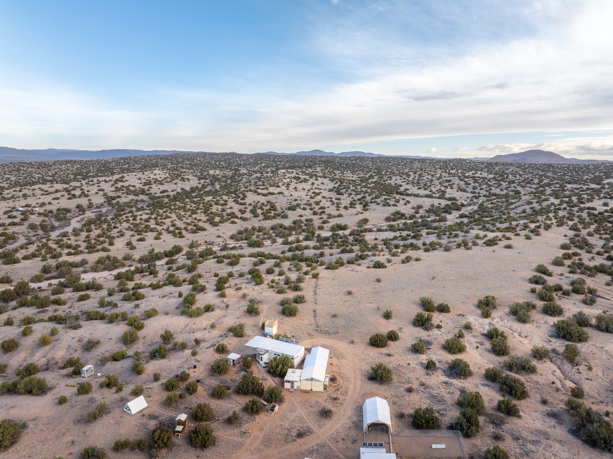
Power & Utilities: Residential power lines and underground utility boxes have a presence in El Rito Estates and appear to service some of the home sites closer to the western end of the subdivision. Those utilities, however, end two miles west of the subject property. In addition, many of the home sites closer to the subject property appear to be using solar panels as either a primary or secondary source of energy. Because of this, anyone looking to develop the land is encouraged to investigate alternatives such as the aforementioned solar panels. Anyone looking to investigate the cost of getting connected to the grid is encouraged to contact the Jemez Mountain Electric Co-op, the utility company servicing this region.
Wells & Water Table Depth: Along the same lines, there are some upscale home sites in this area which appear to have wells drilled on their properties, while some less expensive builds are using holding tanks. Prospective buyers looking to develop the land will need to consult local well drillers to learn more about the costs and logistics of drilling for water in this region to help determine which solution works best for their budget.
ZONING & RESTRICTIONS
Zoning: Rio Arriba County has fairly undefined and lax zoning, and designates the El Rito Estates subdivision, as well as most of the land in the County, as “CRAD” or County Residential Agricultural District. This catch-all term allows for land to be developed with either residential or agricultural purposes. Other uses, such as industrial and commercial developments, require a use permit obtained through a public hearing.
No HOA: The El Rito Estates subdivision features no HOA and there are no annual dues associated with land ownership here.
Covenants, Conditions & Restrictions: In addition to having no HOA, El Rito Estates has no covenants, conditions or restrictions (CCRs) recorded with the County. This means there are no subdivision restrictions on land use either.
Camping & RV Use: Per Rio Arriba County Zoning, RVs are acceptable in this region for ninety days at a time or six months with a special use permit.
HELPFUL LINKS
The Hemingway Land Company does our best to represent the properties we list as accurately as possible. Our research, however, will always be limited.
Because of this, included in the table to the right is a list of the relevant state and county governments, agencies and authorities as well as local utilities (and all their respective websites and contact information) which should help to answer any questions a buyer may have about developing this specific property.
Whenever possible it is best to speak with these agencies first as they will always be a far greater source of information about the local region and the regulations which govern it.
Rio Arriba County Assessor’s Office (575) 588-7726 (Click Here)
Rio Arriba County Planning & Zoning (505) 753-7774 (Click Here)
New Mexico Department of Game and Fish (Click Here)
New Mexico State Engineer (505) 827-6091 (Click Here)
Well Drilling Info (Click Here)
Well Drilling Permit Application (Click Here)
MISCELLANEOUS
BLM Land: The subject property is bordered to its north by over 1,200 acres of BLM Land. The presence of such a feature has two benefits: First, it means the area to the north of you cannot be developed. This means the privacy and the views you purchase today will remain untouched for decades to come. Second, it means that you have even more land to hunt, hike, explore, shoot guns or ride dirt bikes on. In addition, the 1,200 acres of BLM land is flanked to its east and west by undeveloped County land and then Carson National Forest.
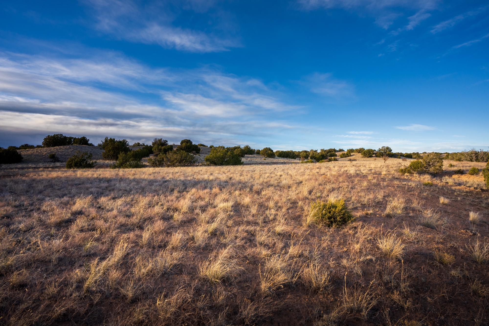
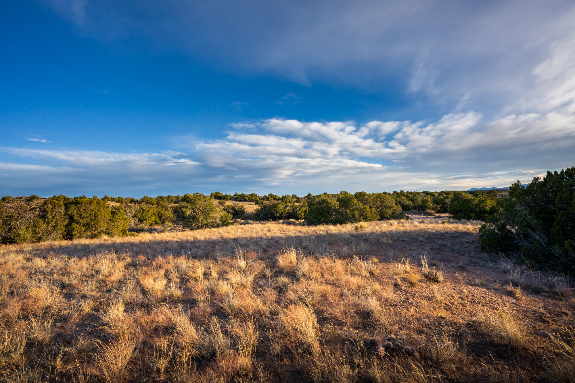
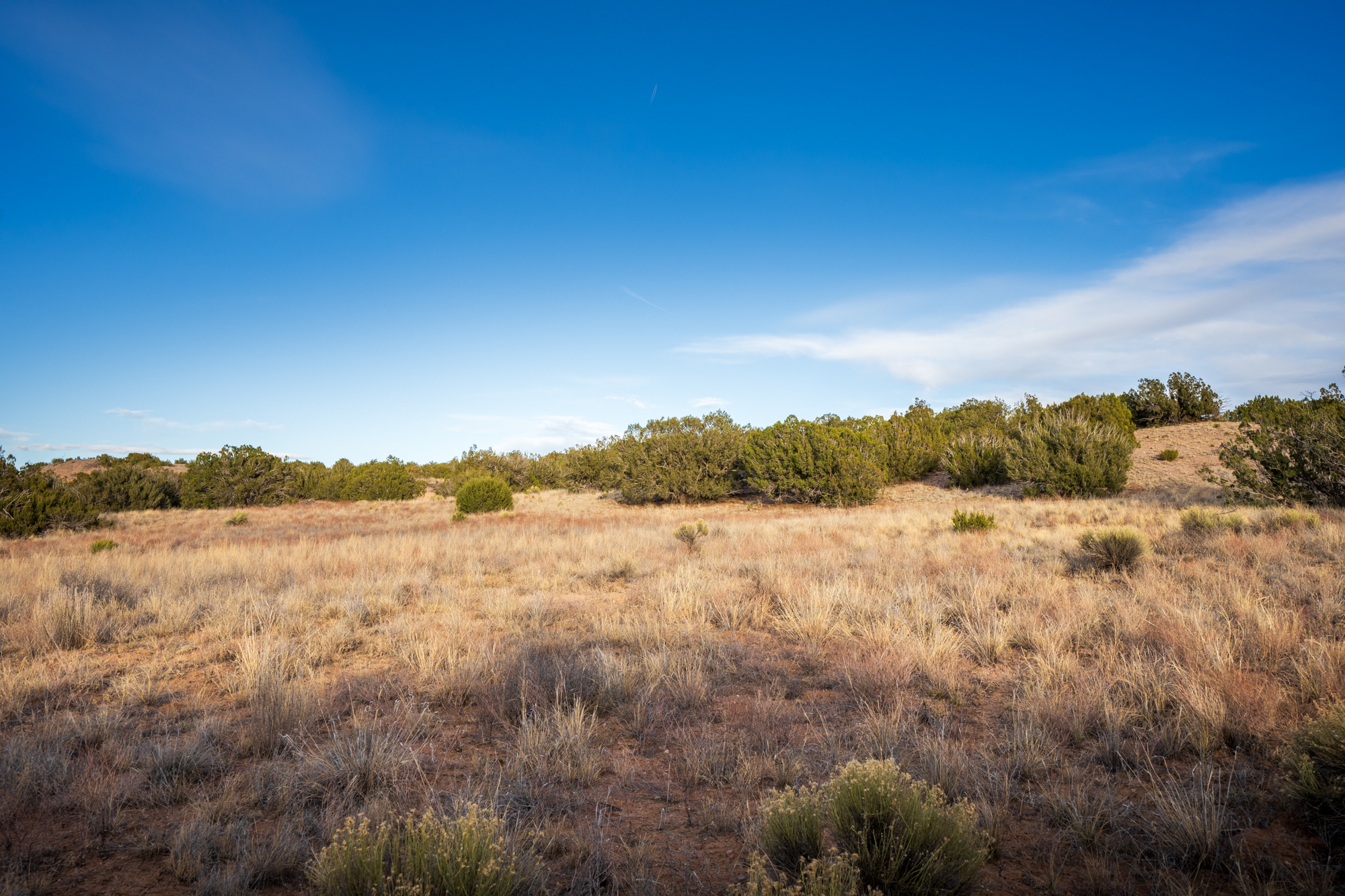
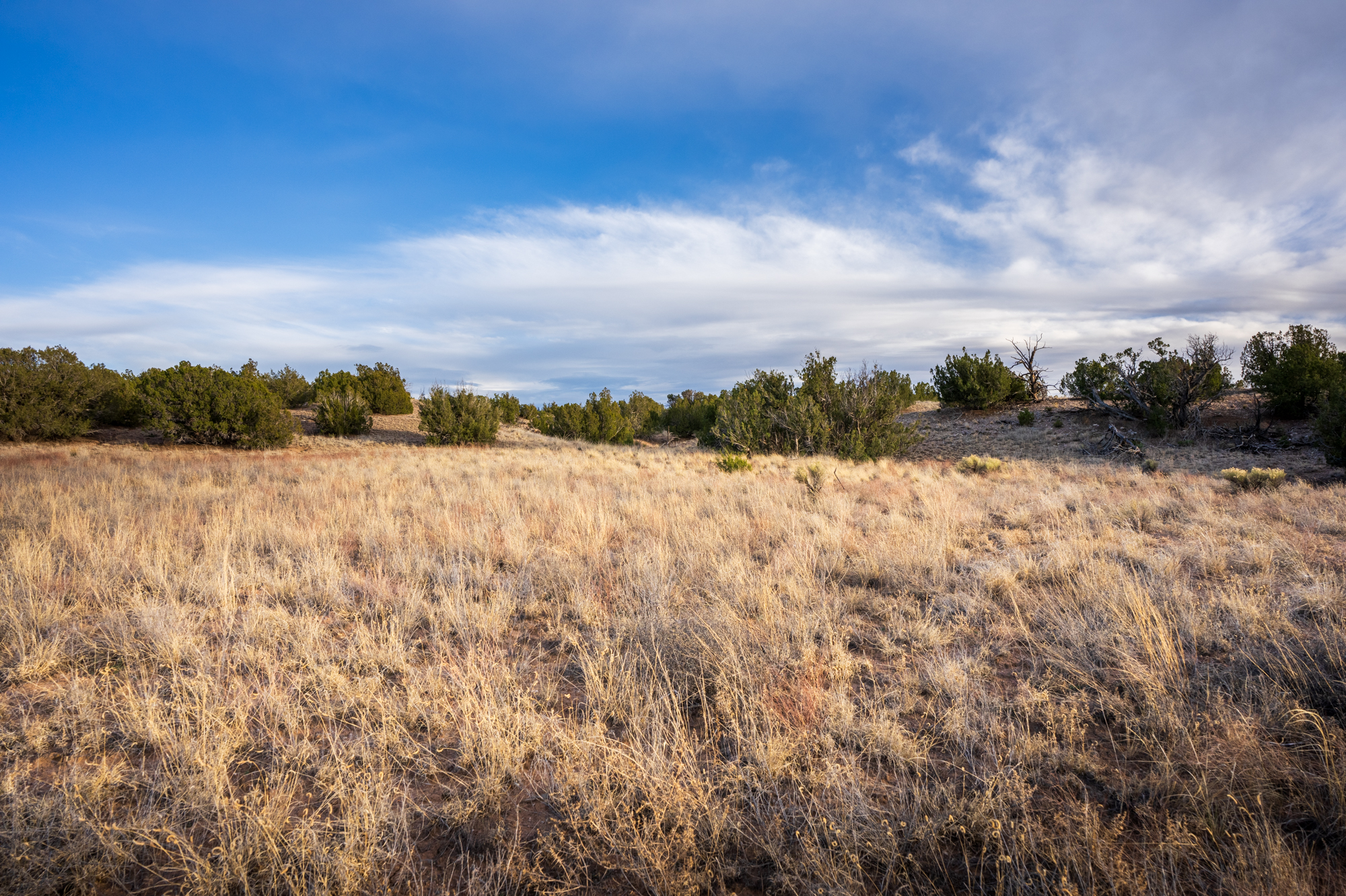
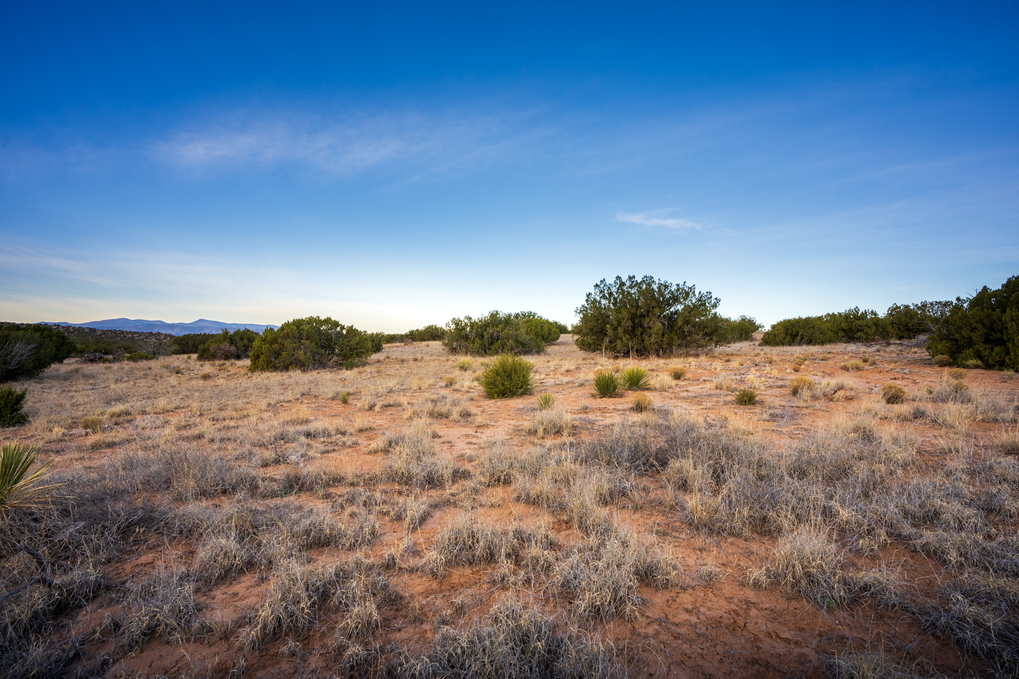
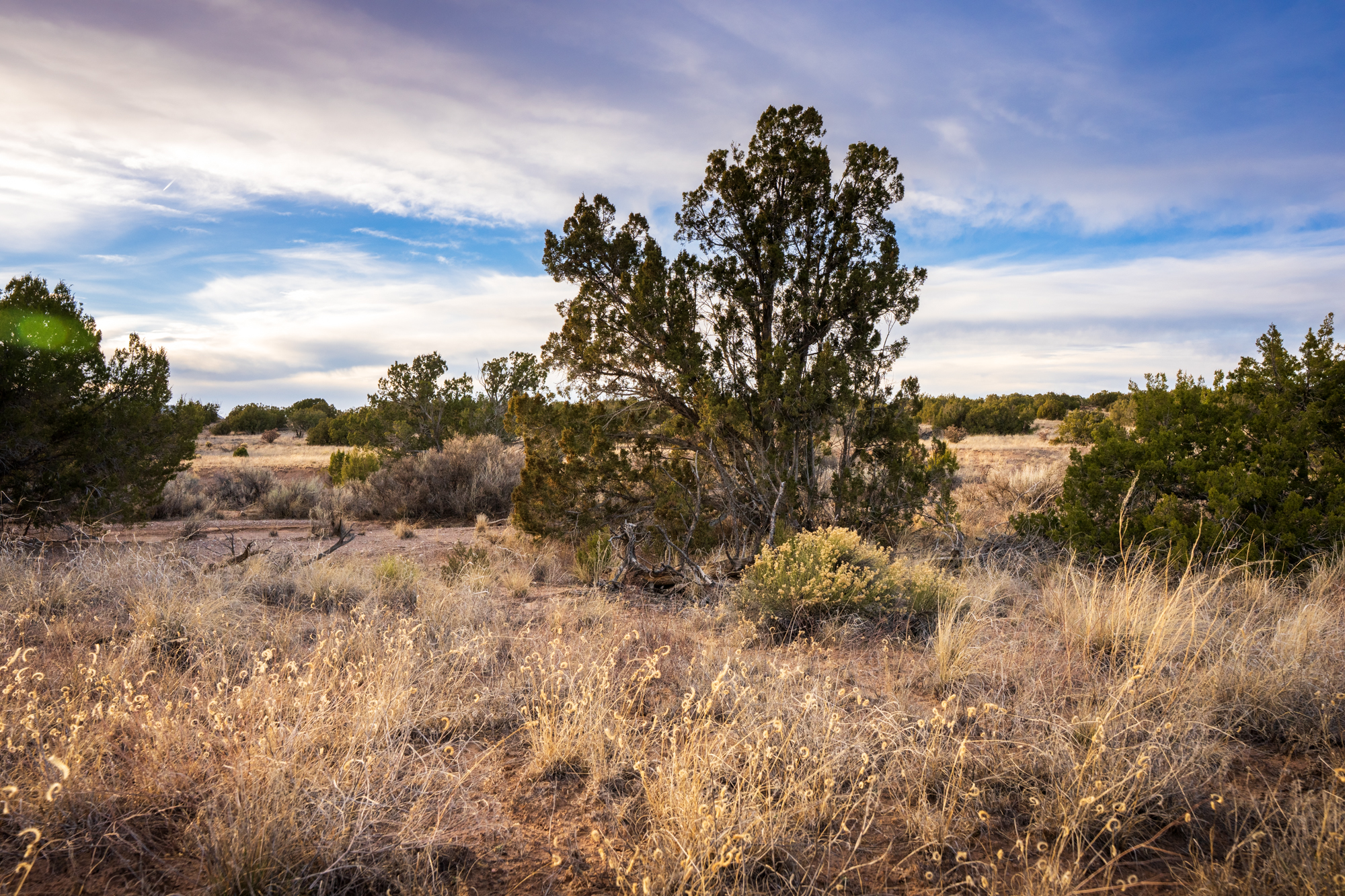
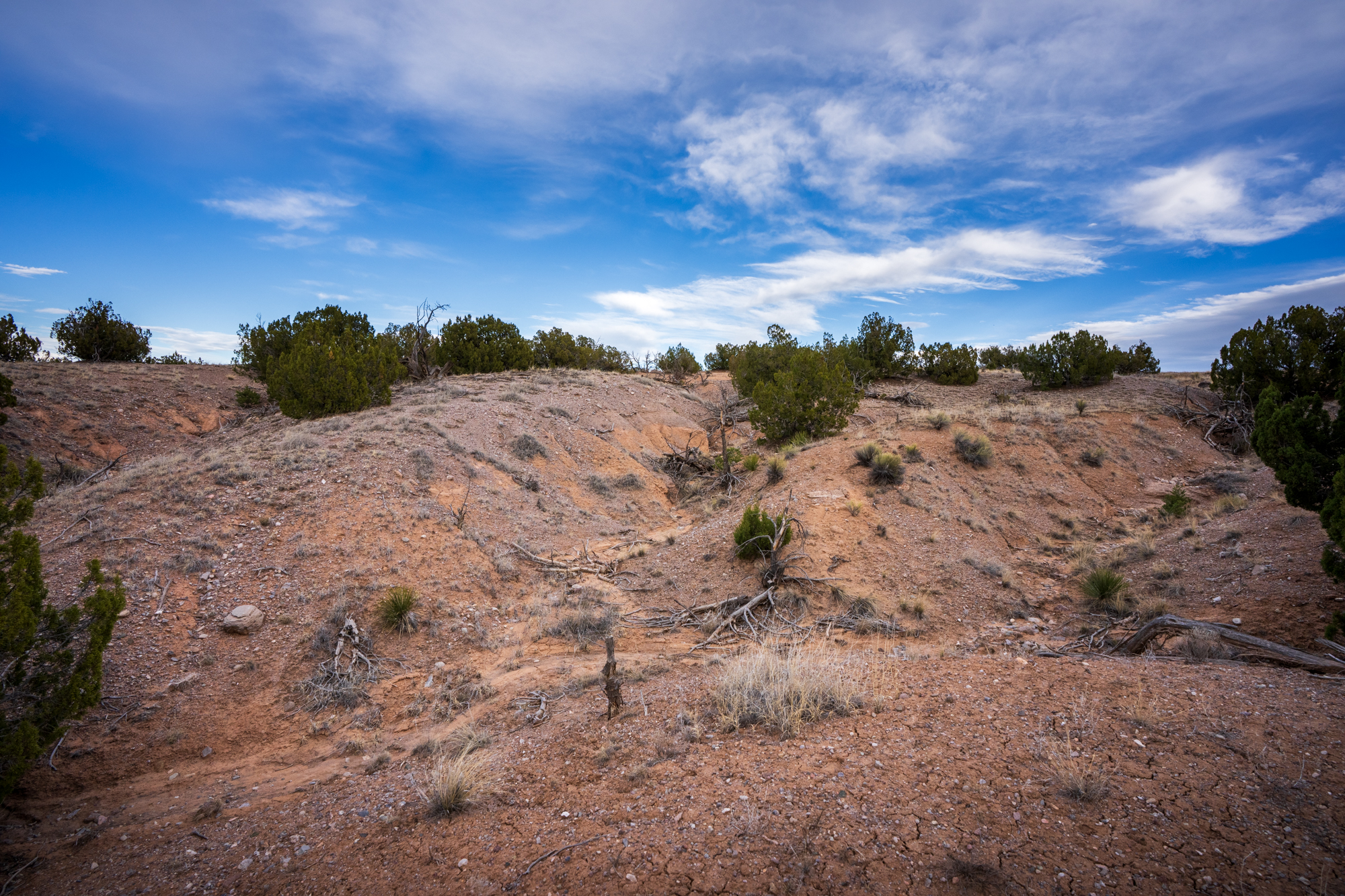
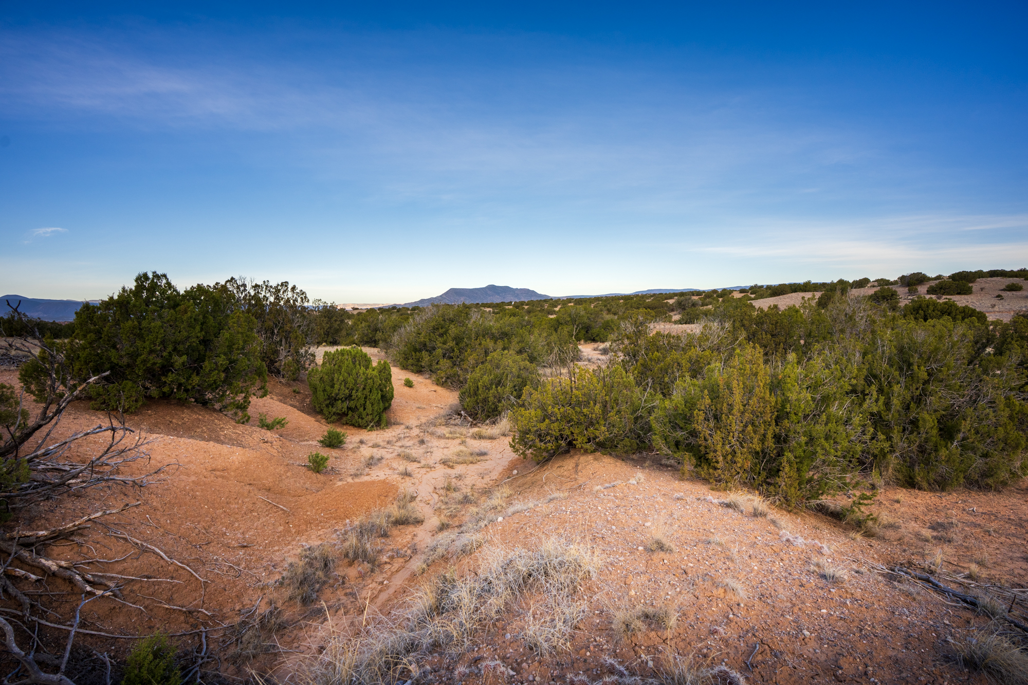
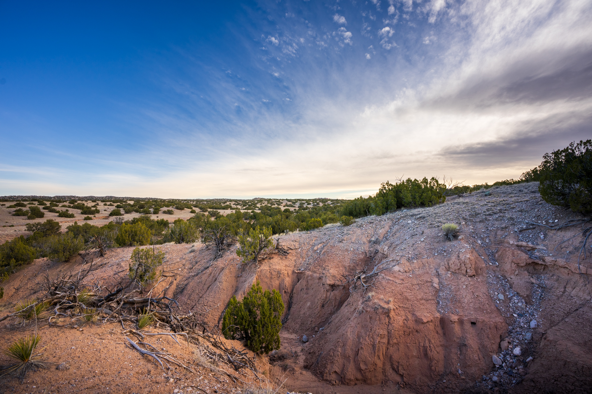
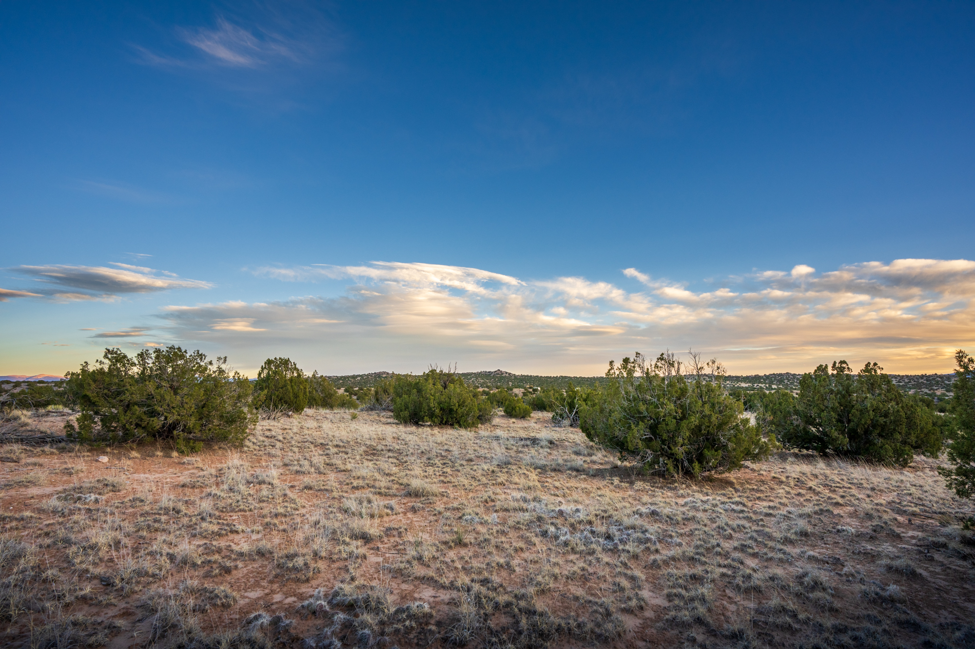
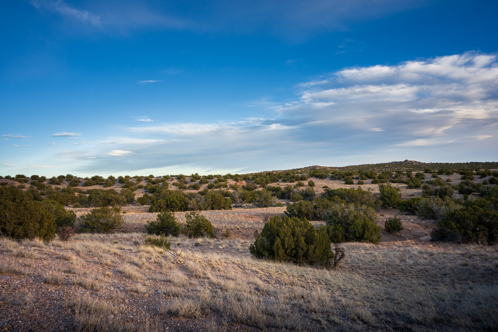
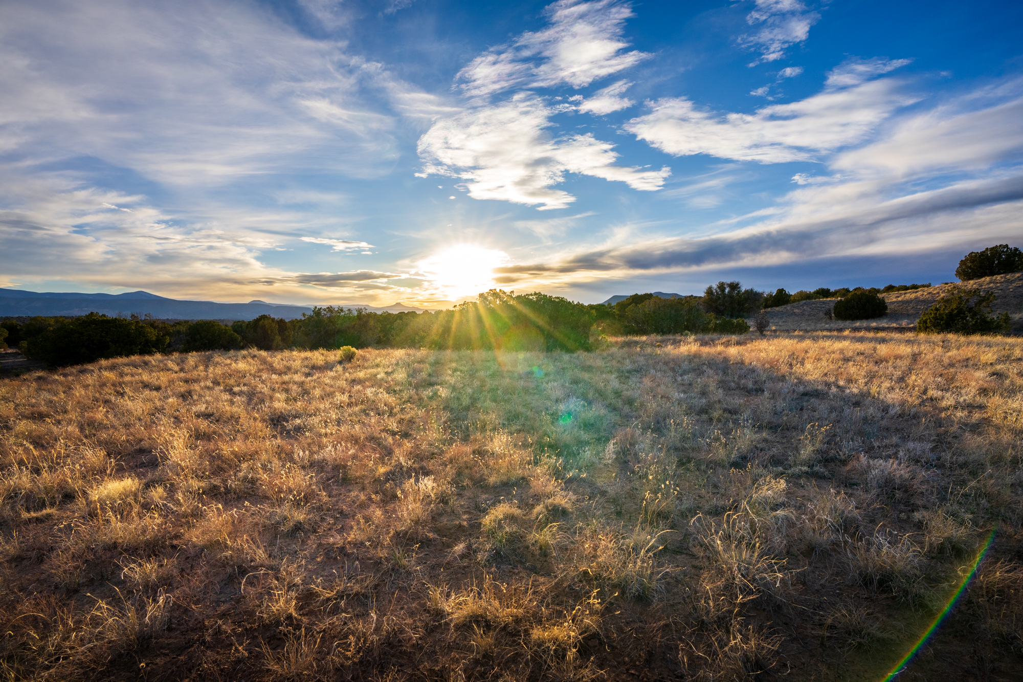
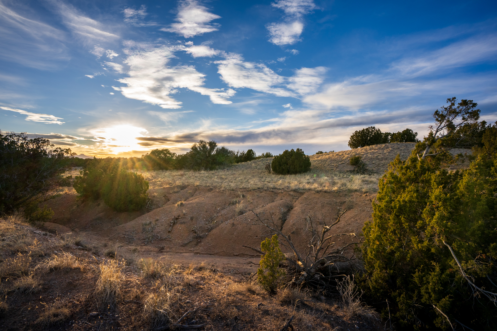
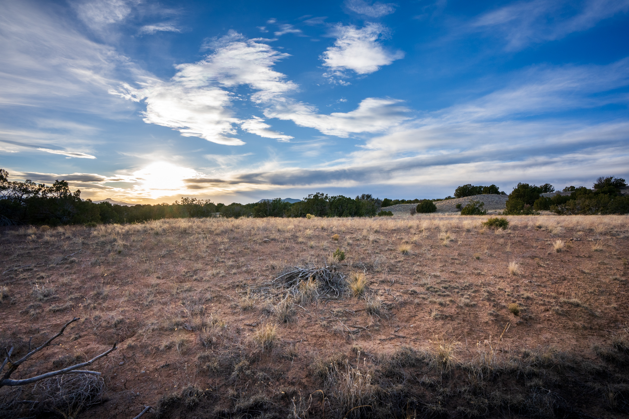
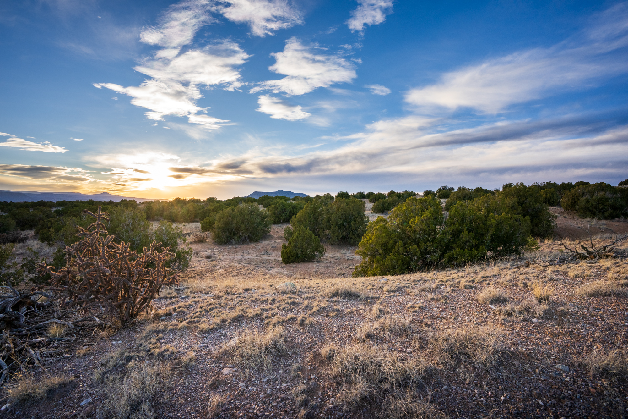
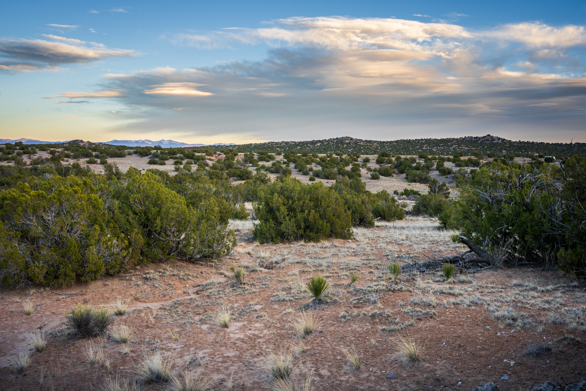
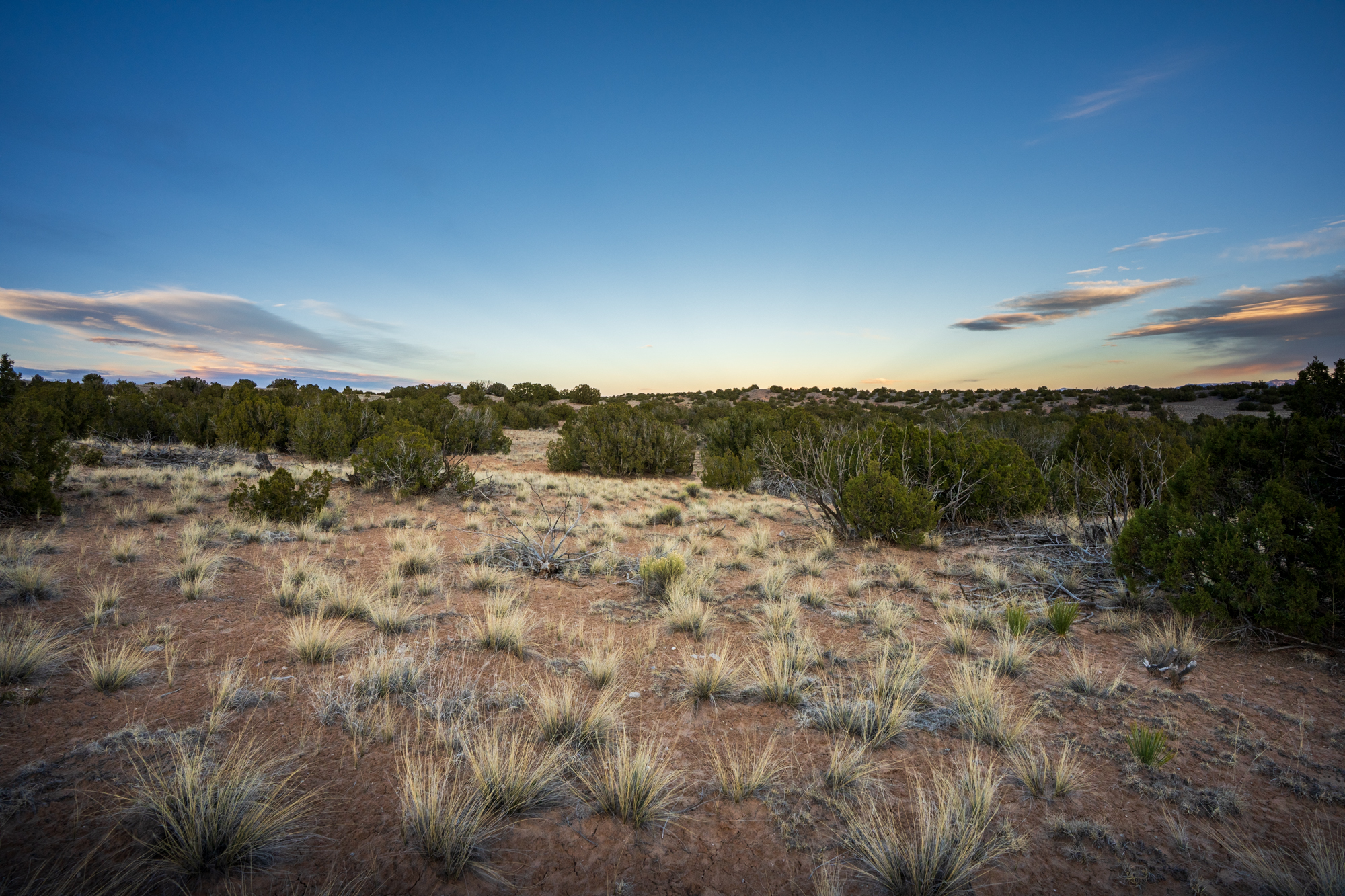
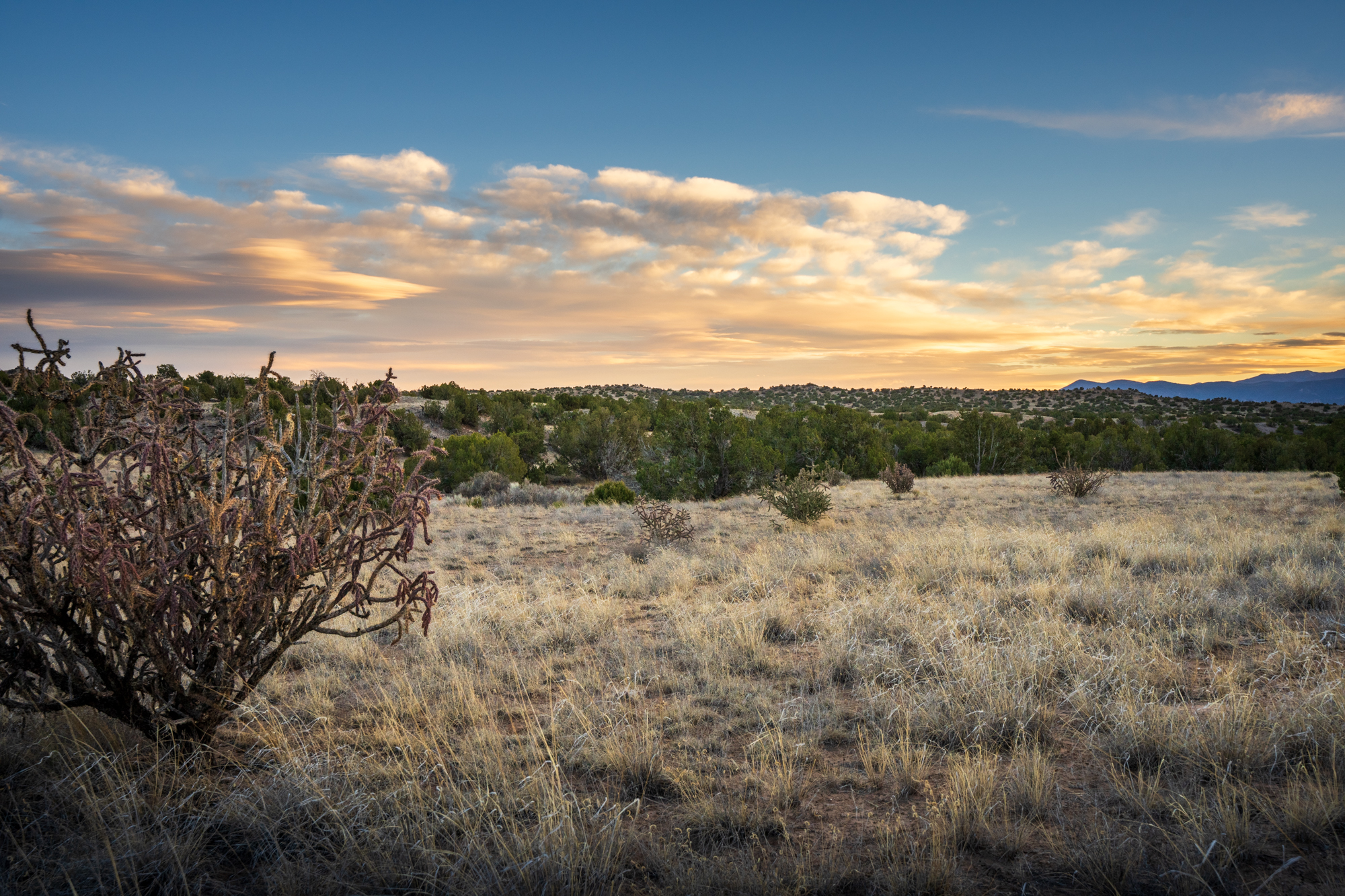
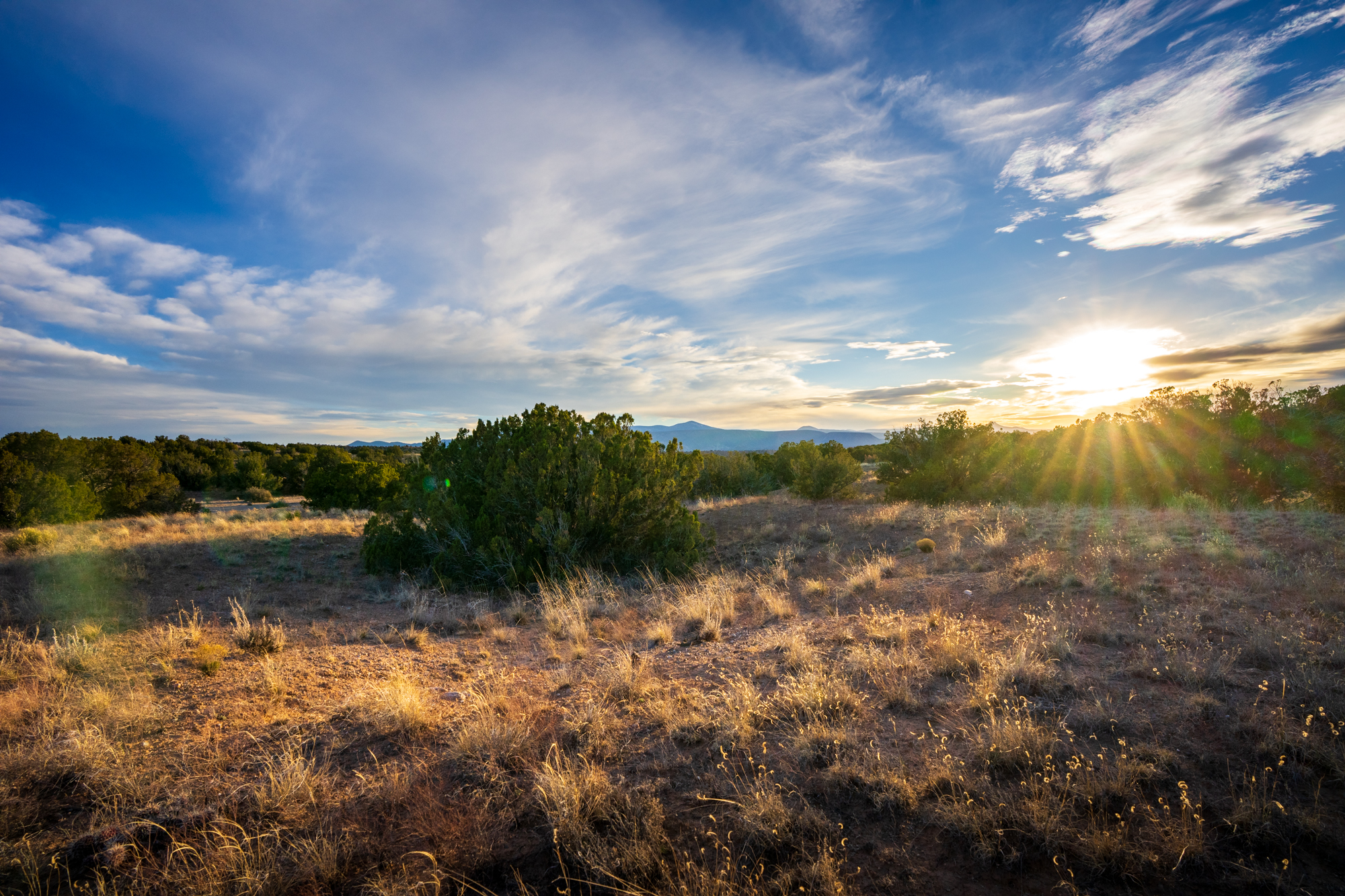
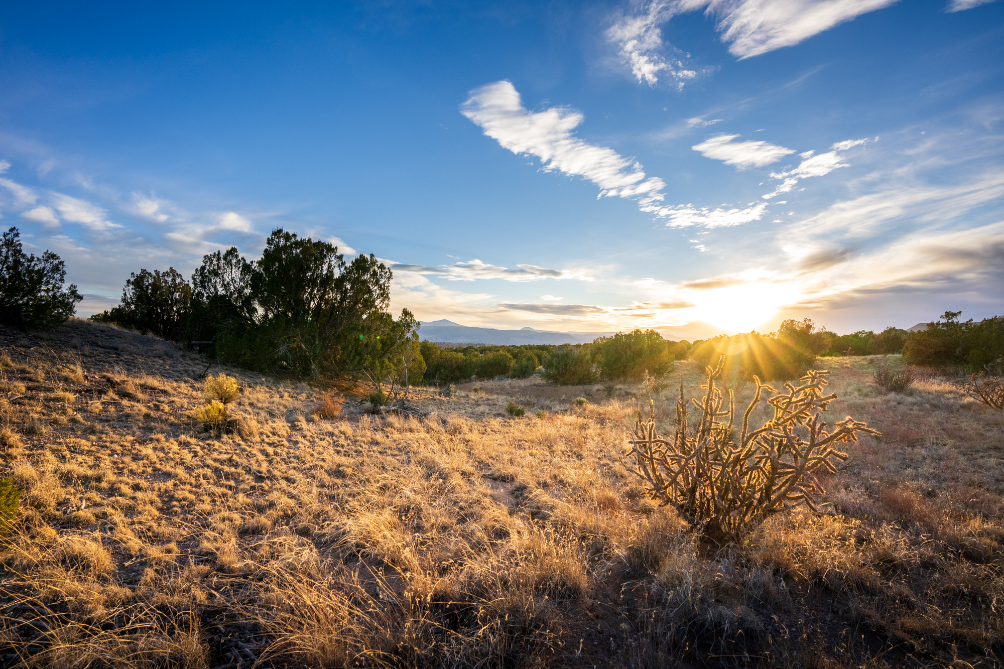
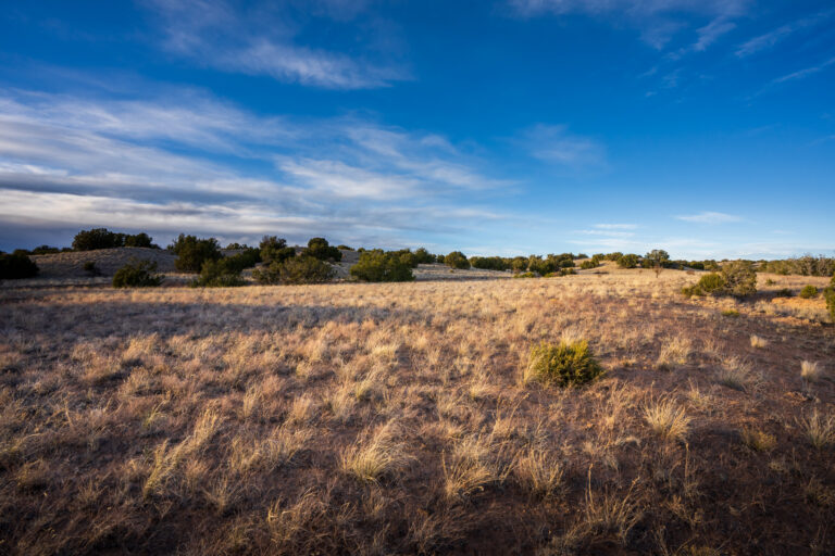
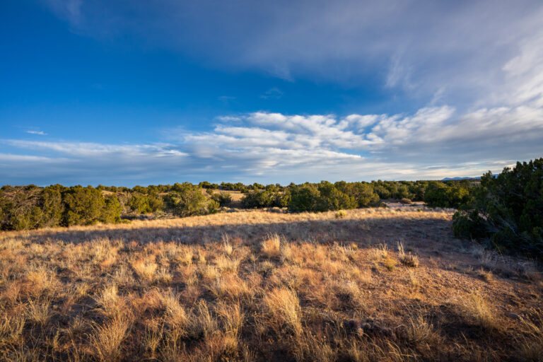
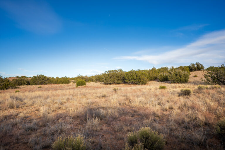
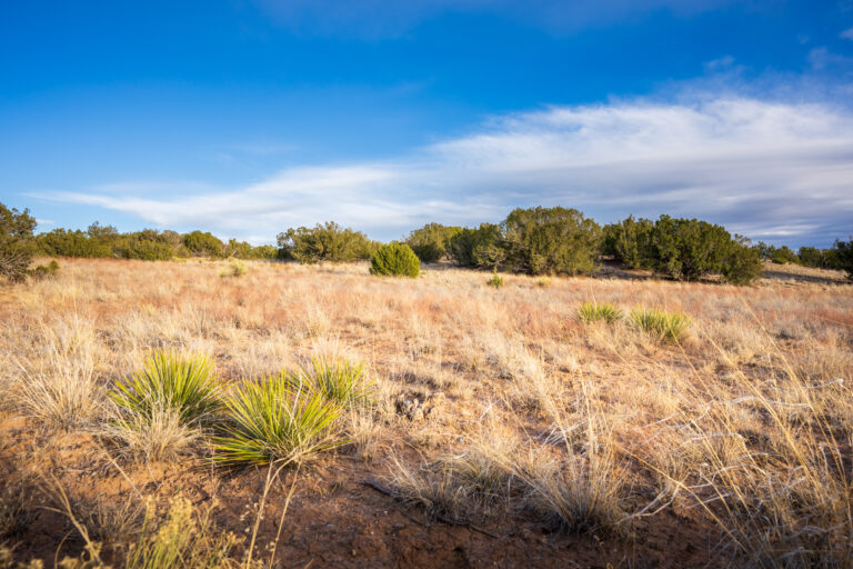
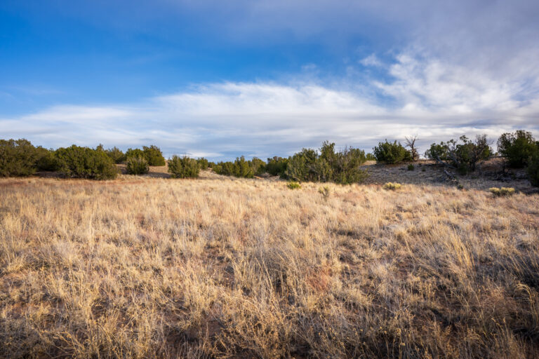
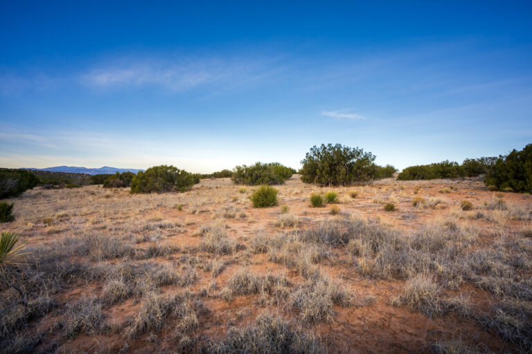
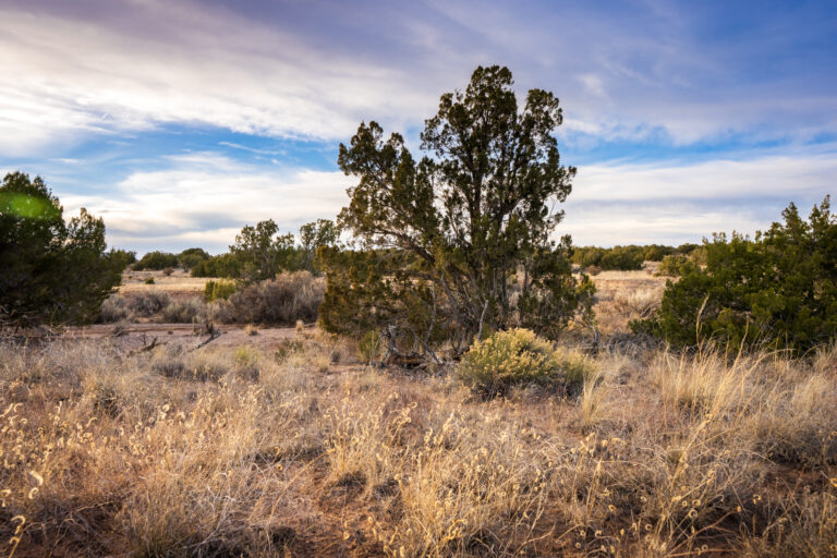
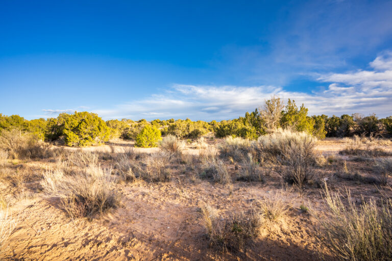
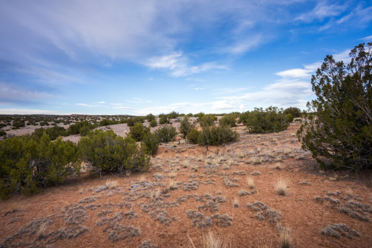
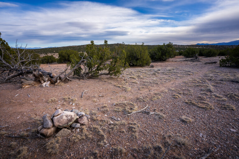
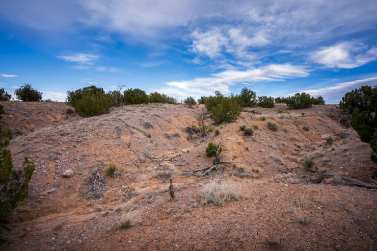
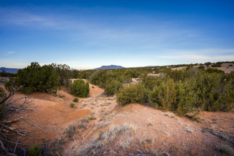
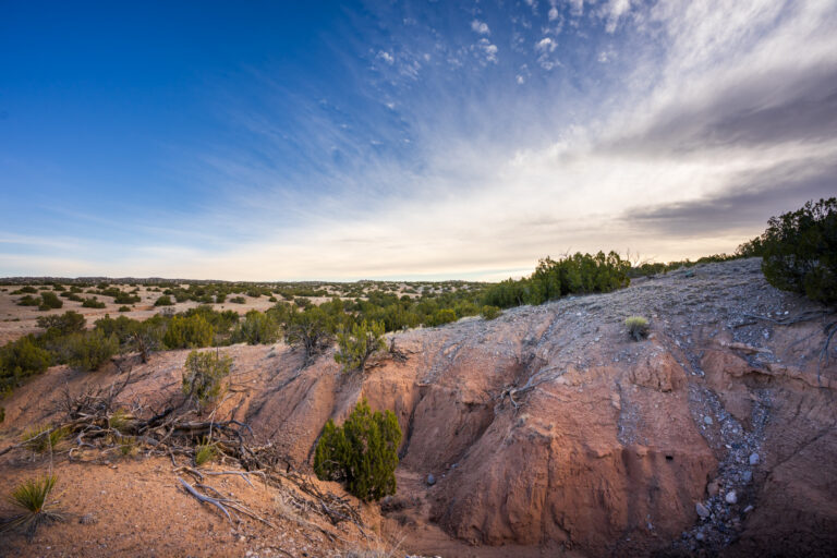
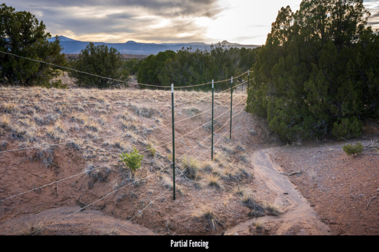
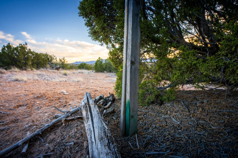
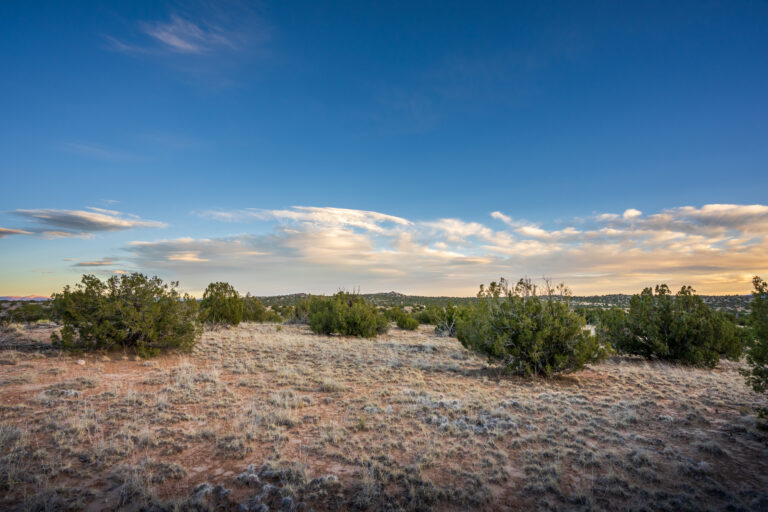
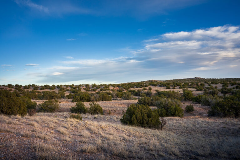
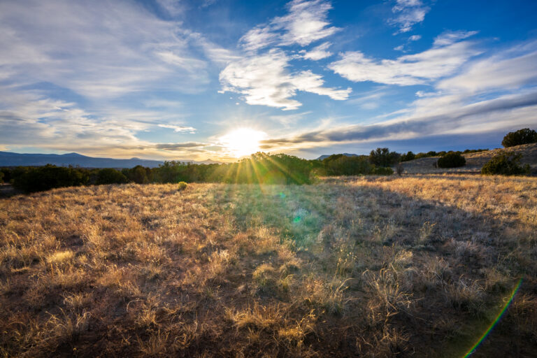
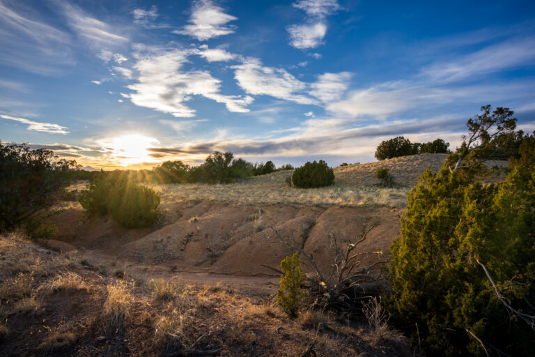
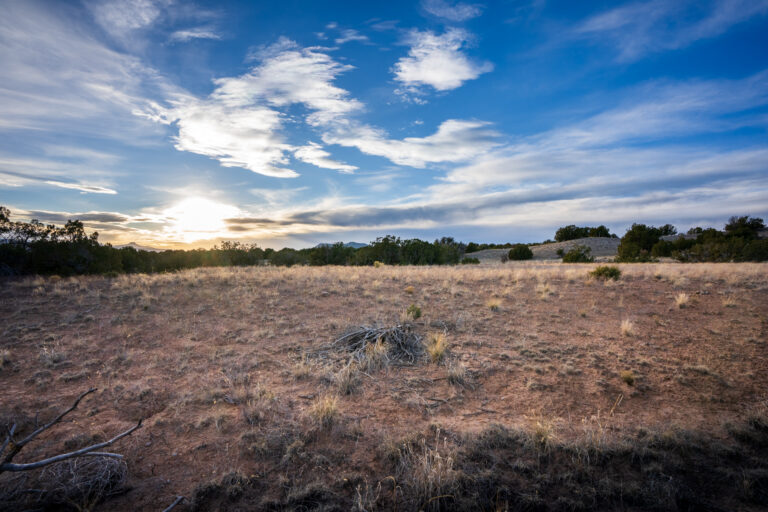
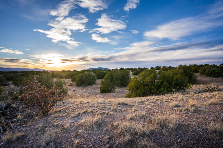
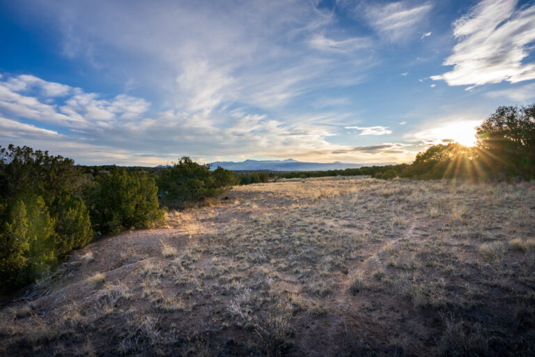
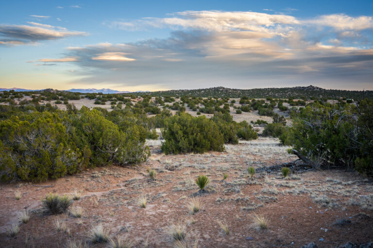
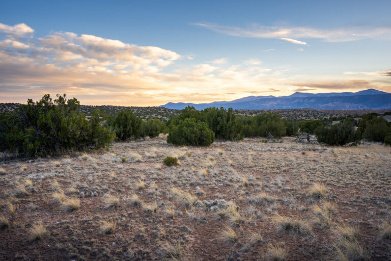
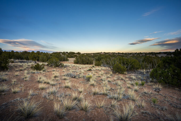
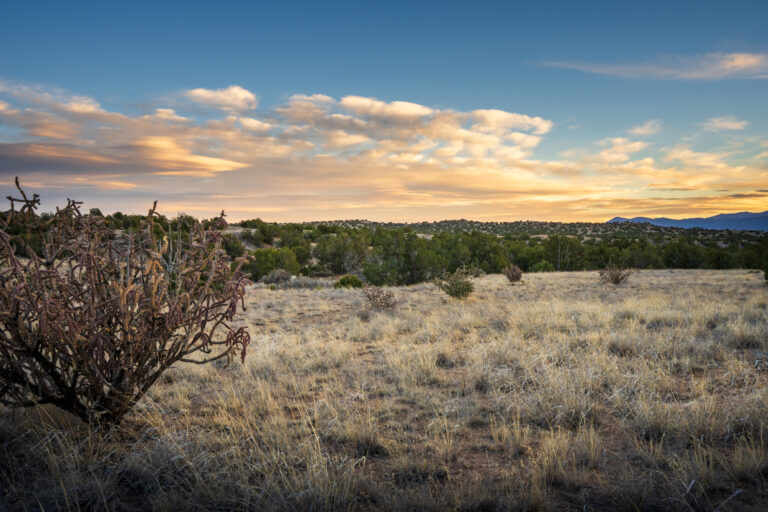
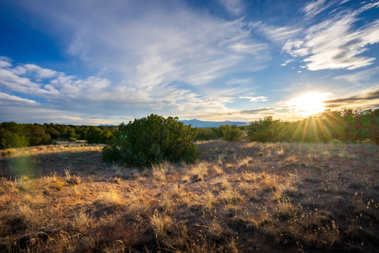
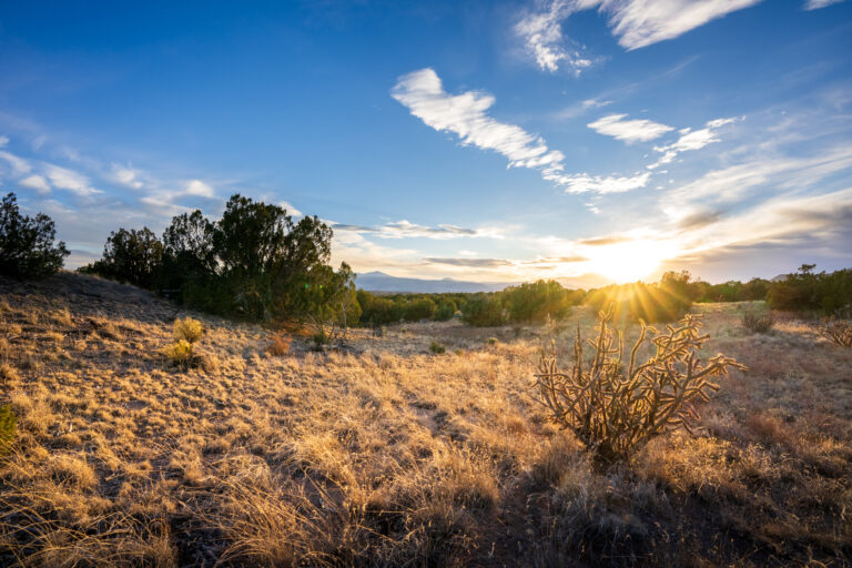
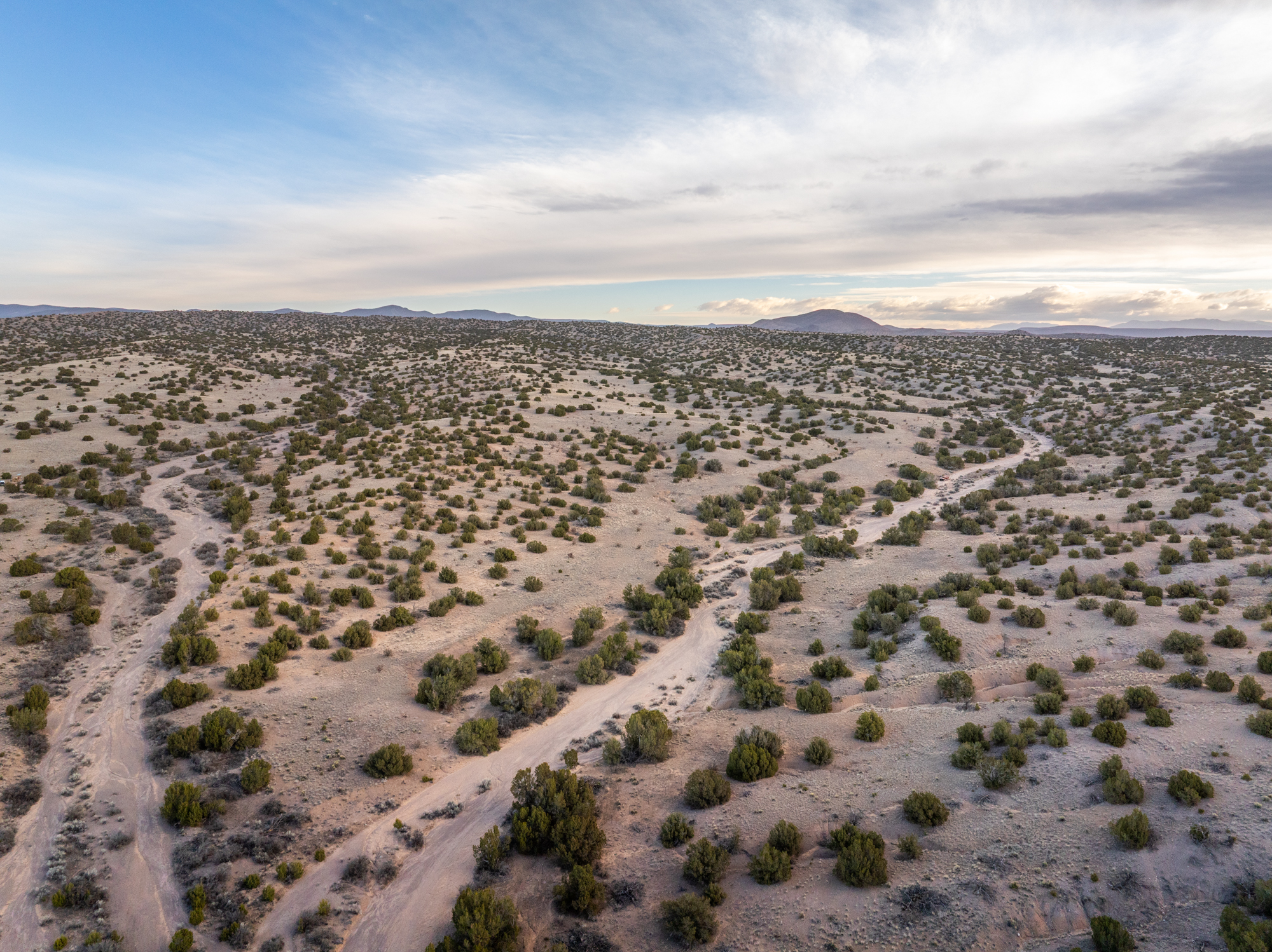
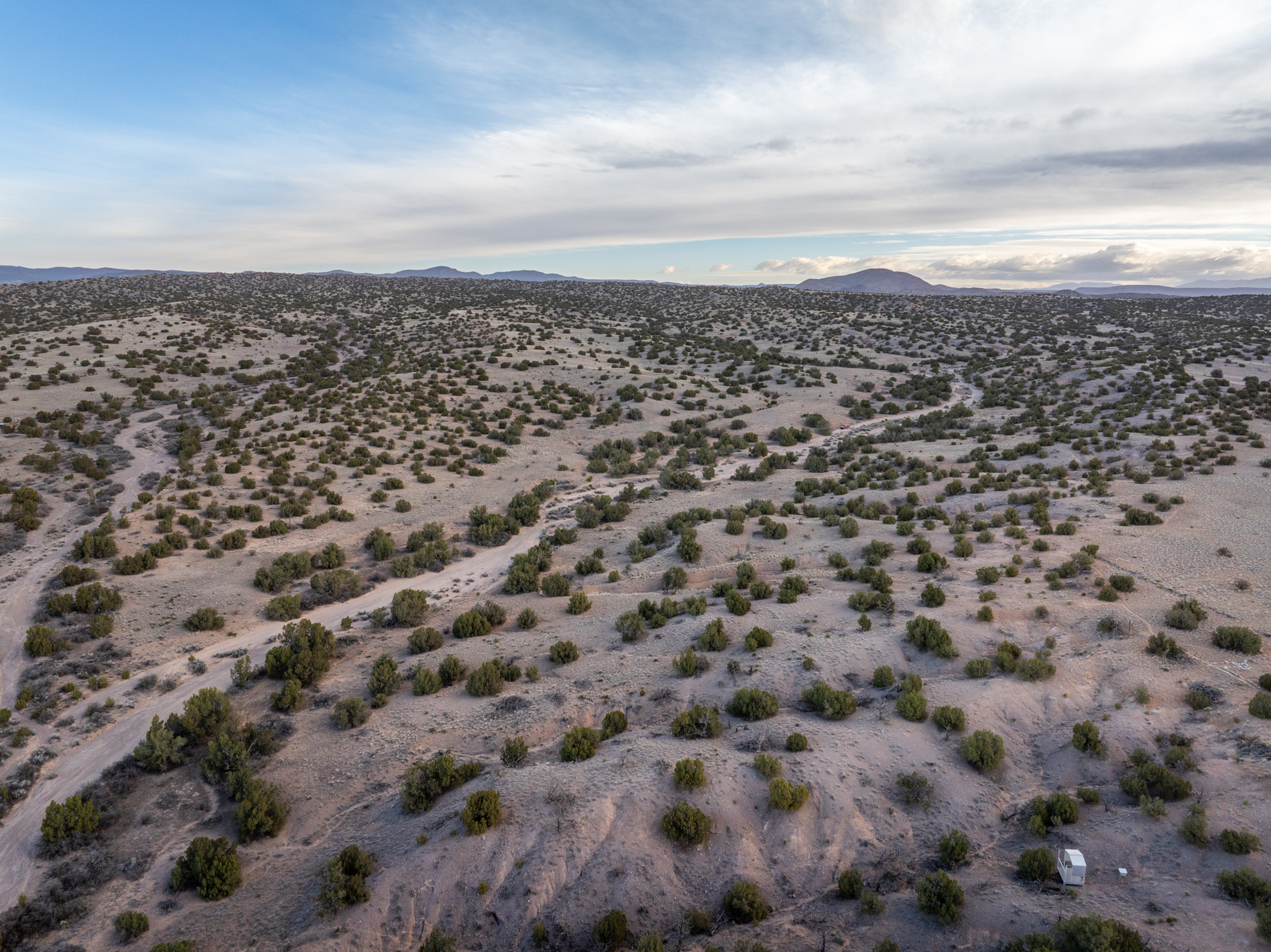
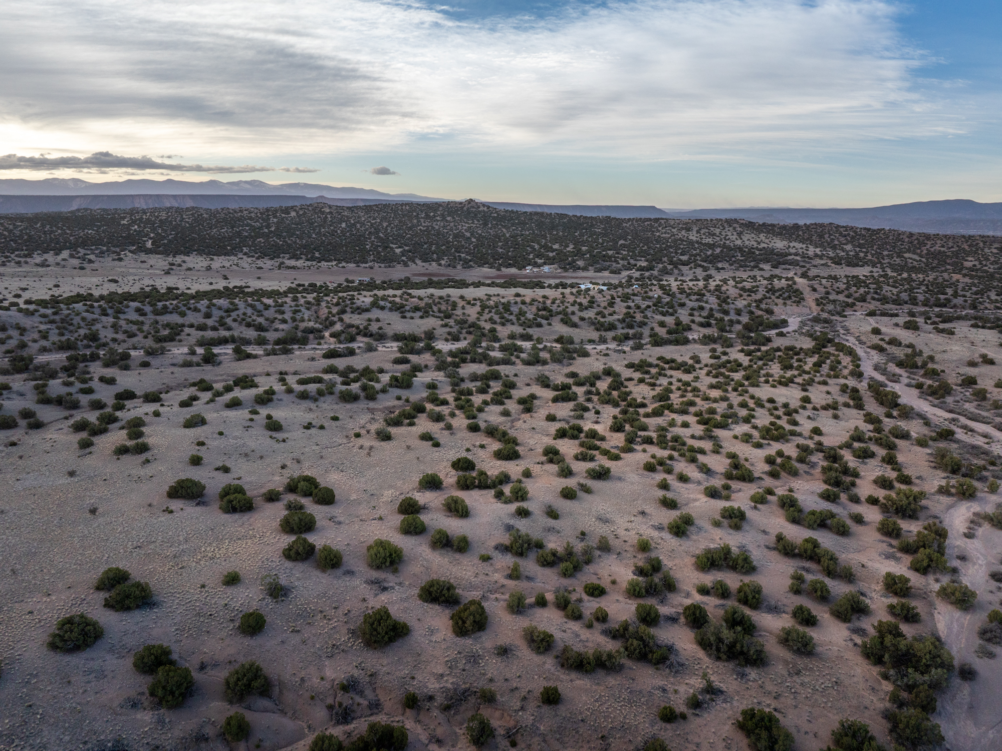
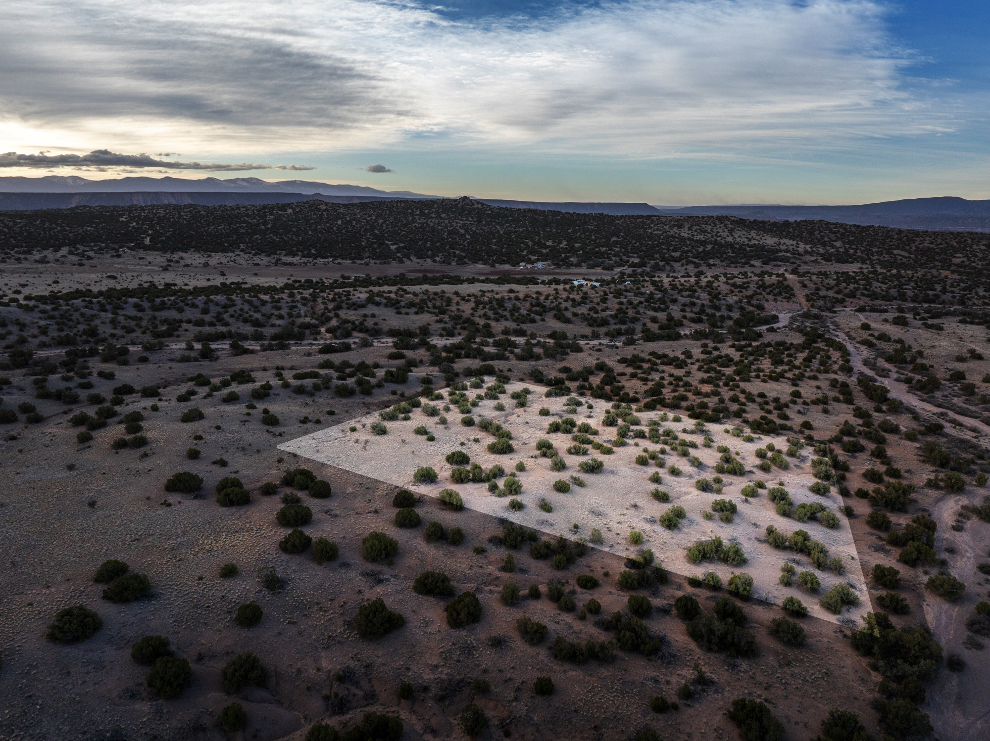
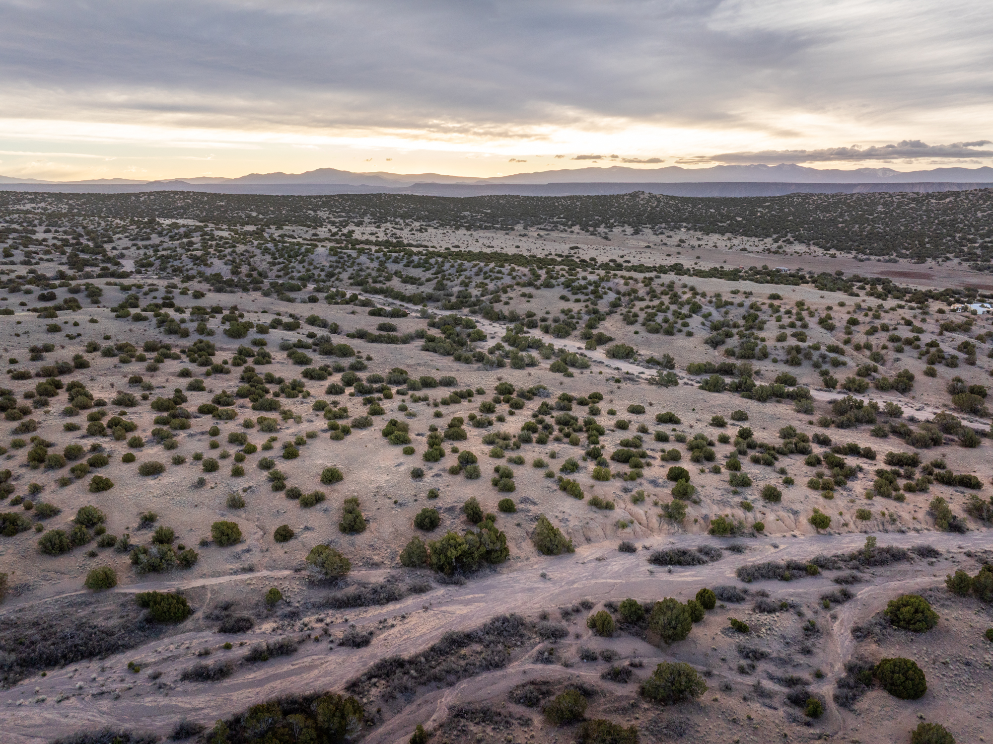
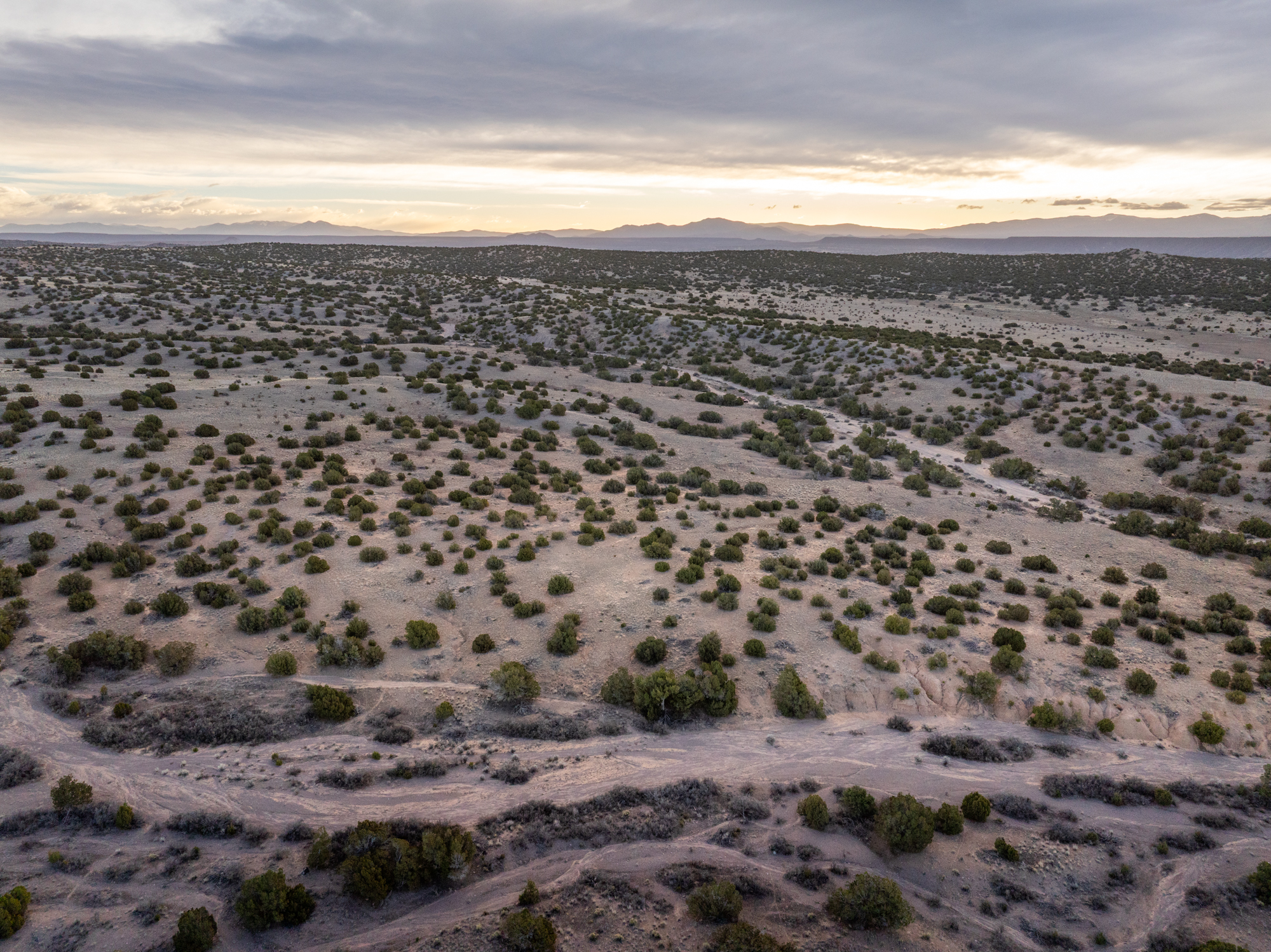
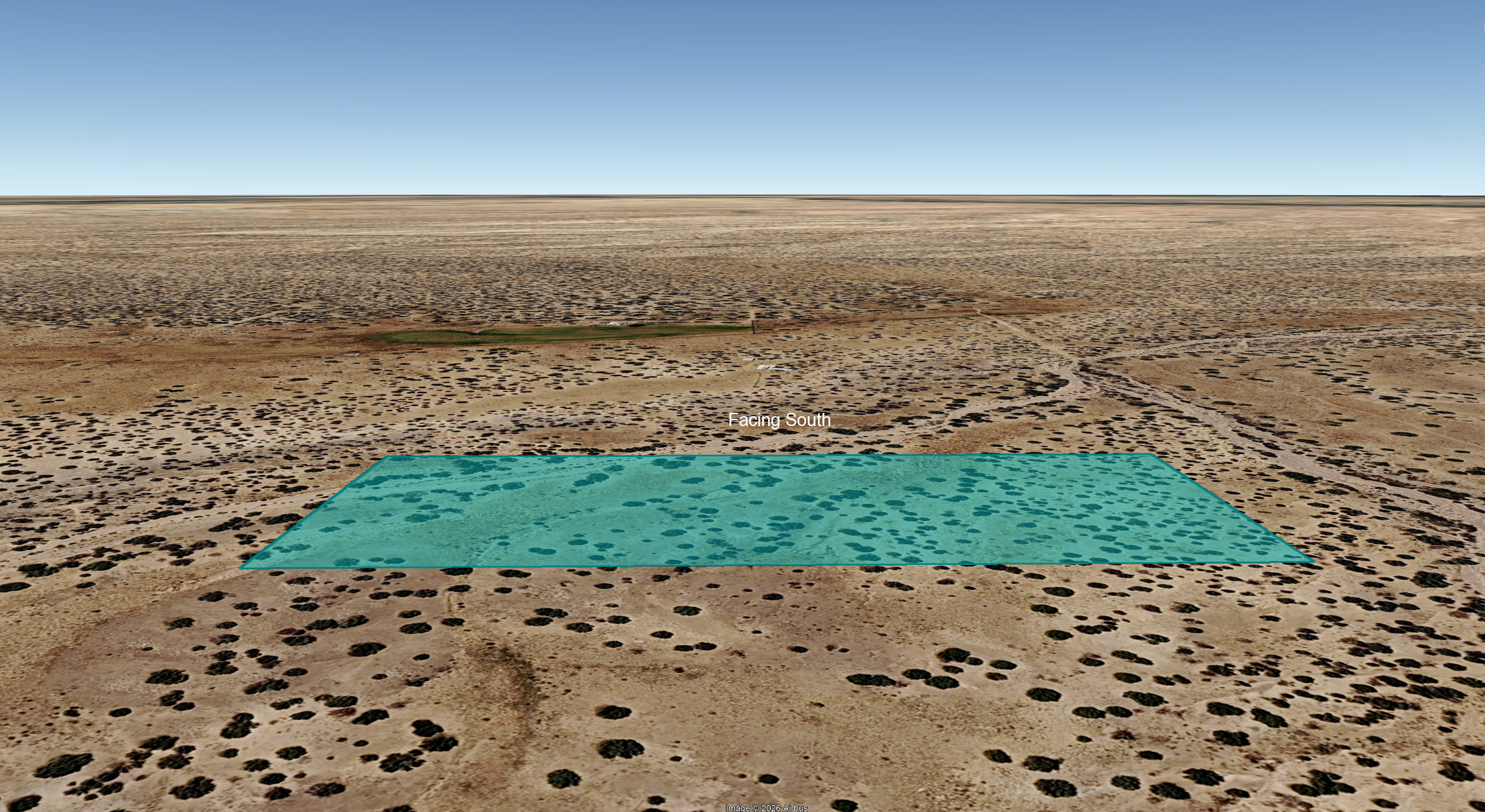
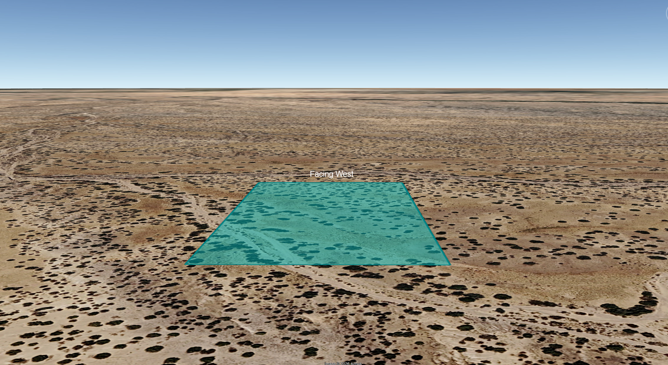
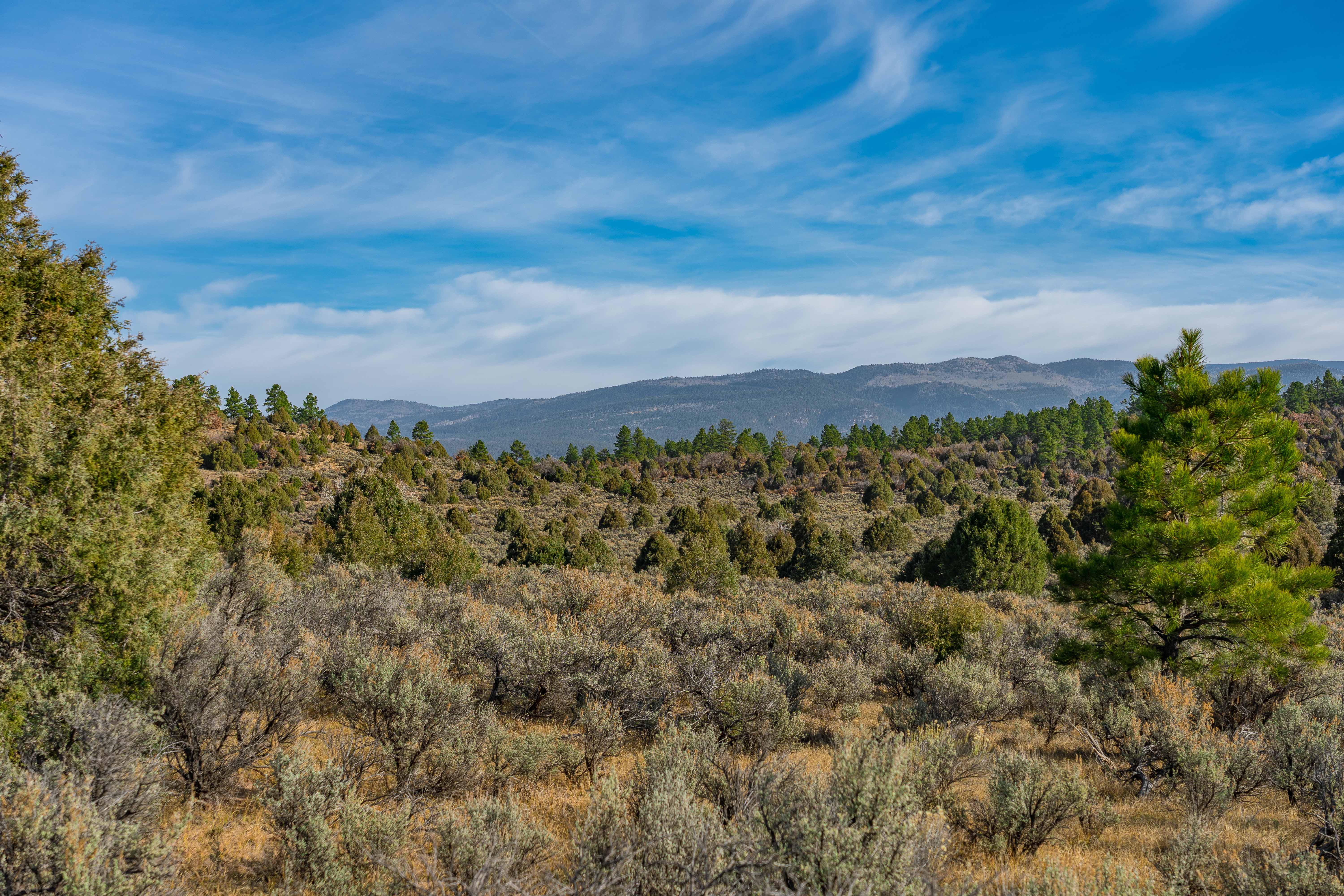
Topography: While mostly level, and boasting flat cut-out regions perfect for parking, camping or building, the subject property also has some rolling hills and is bisected by a sandy arroyo some maps identify as Las Langunitas. The terrain consists mostly of shrubland and pinyon-juniper.
Hunting: It should be noted that the subject property is located in Game Management Unit 51, an area famous for its trophy bull elk.
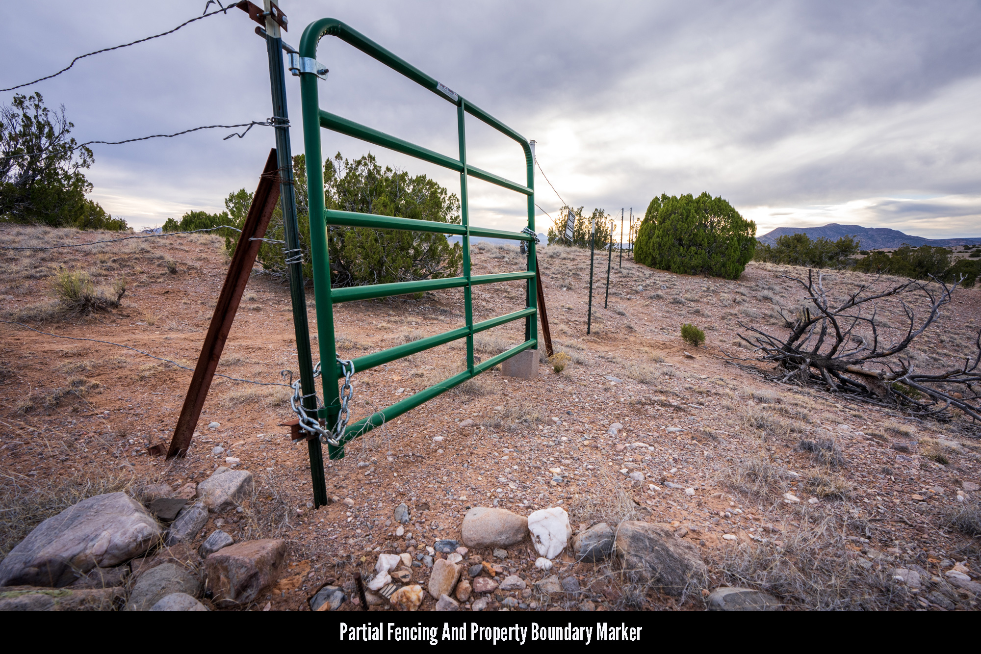
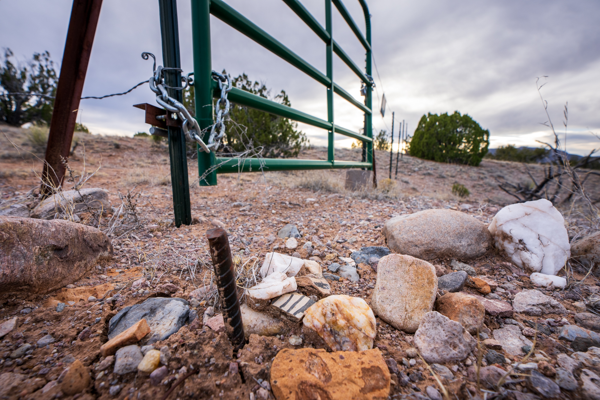
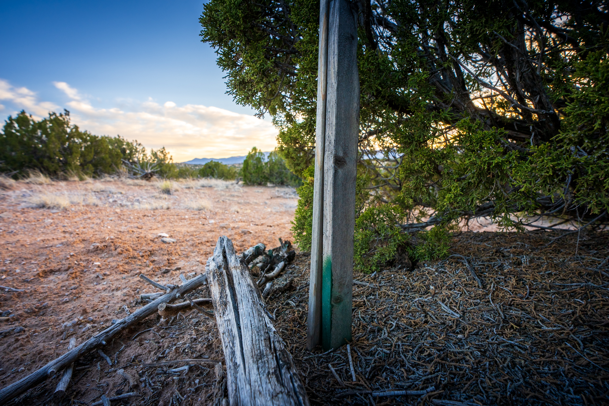
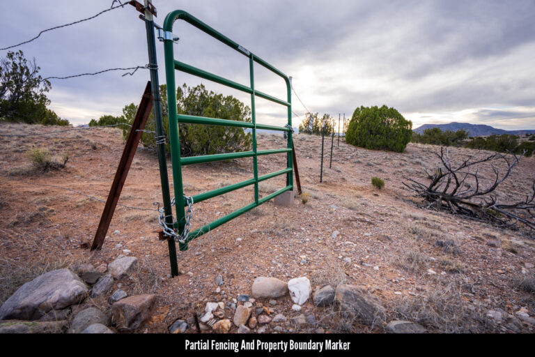
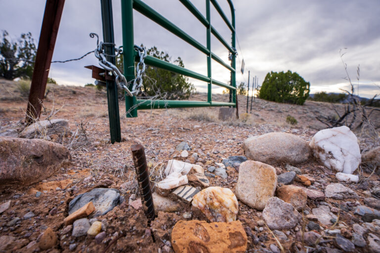
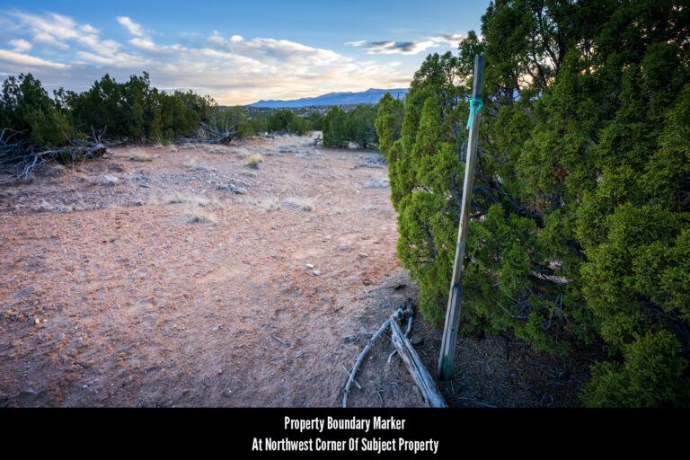
Mapping Discrepancy: It should be noted that the Rio Arriba County GIS identifies this property as 25 acres and not 5 and portrays the property boundaries as much larger than they actually are. The map and other images pictured on this page are the correct representation of the size, shape and location of the 5 acres being sold.
NEARBY TOWNS
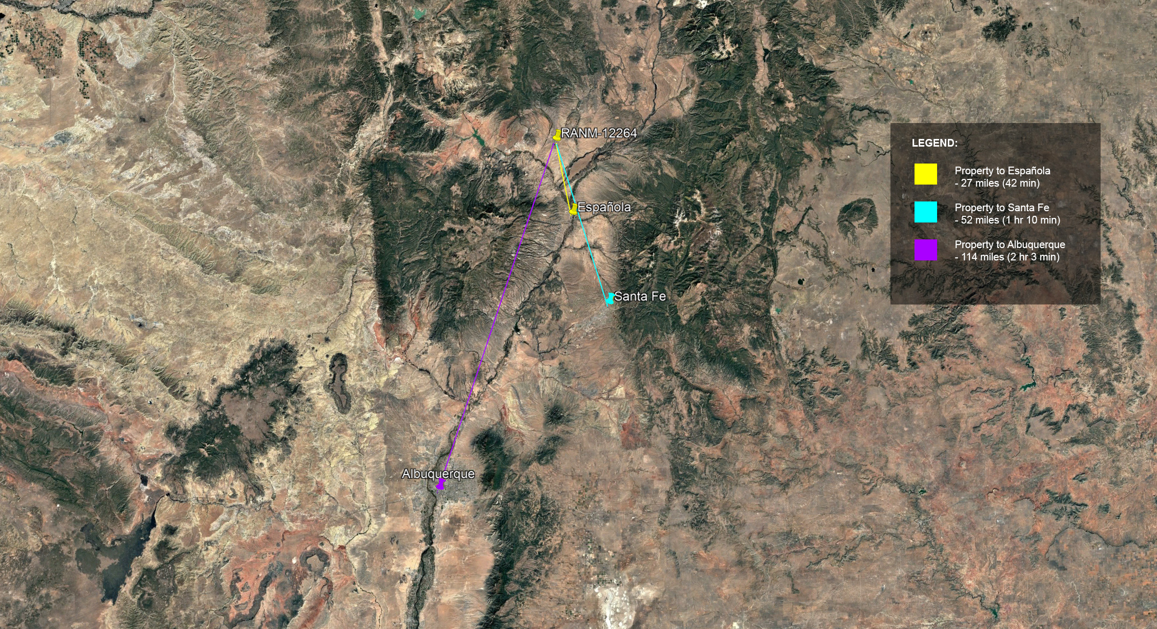
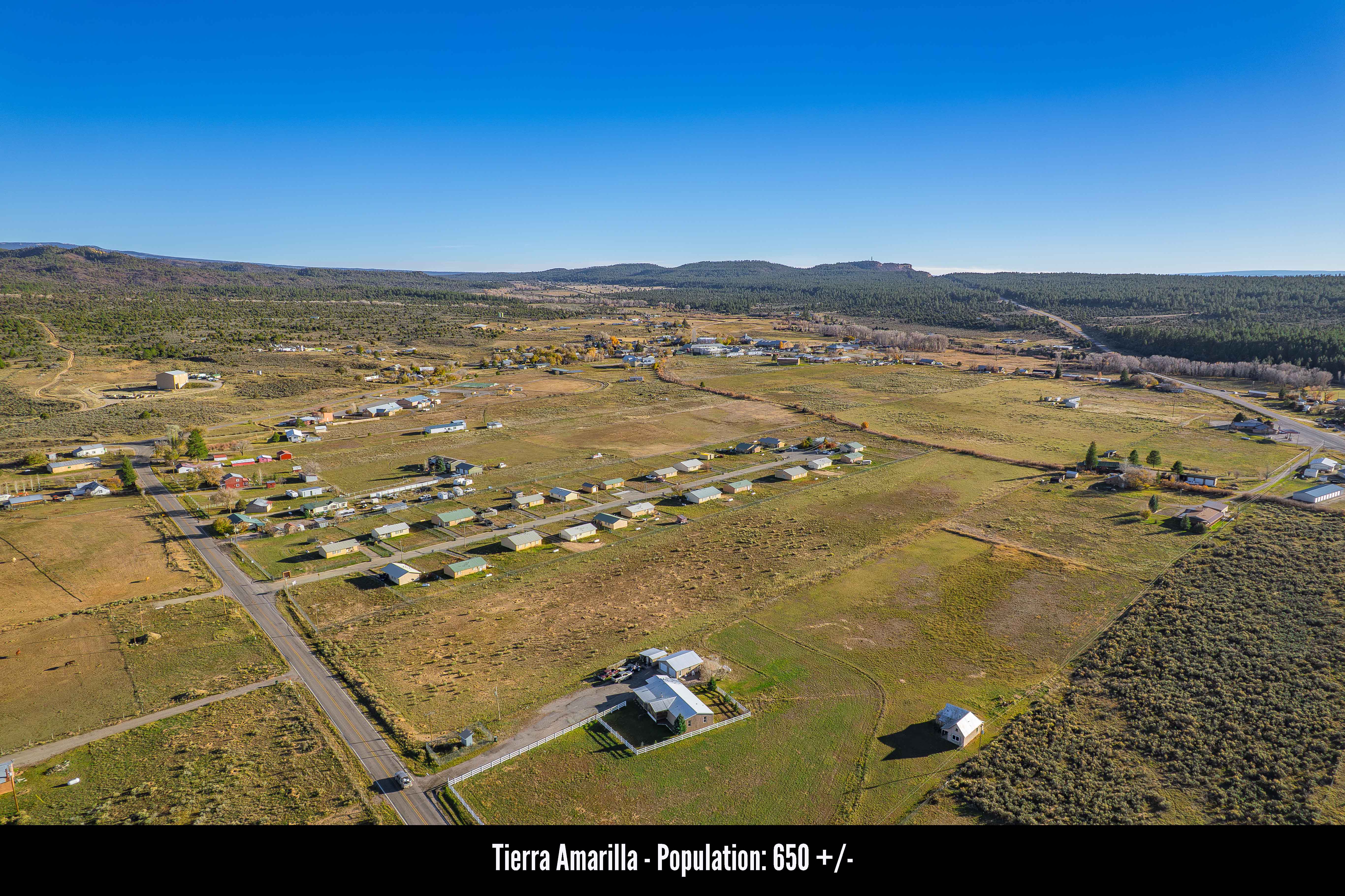
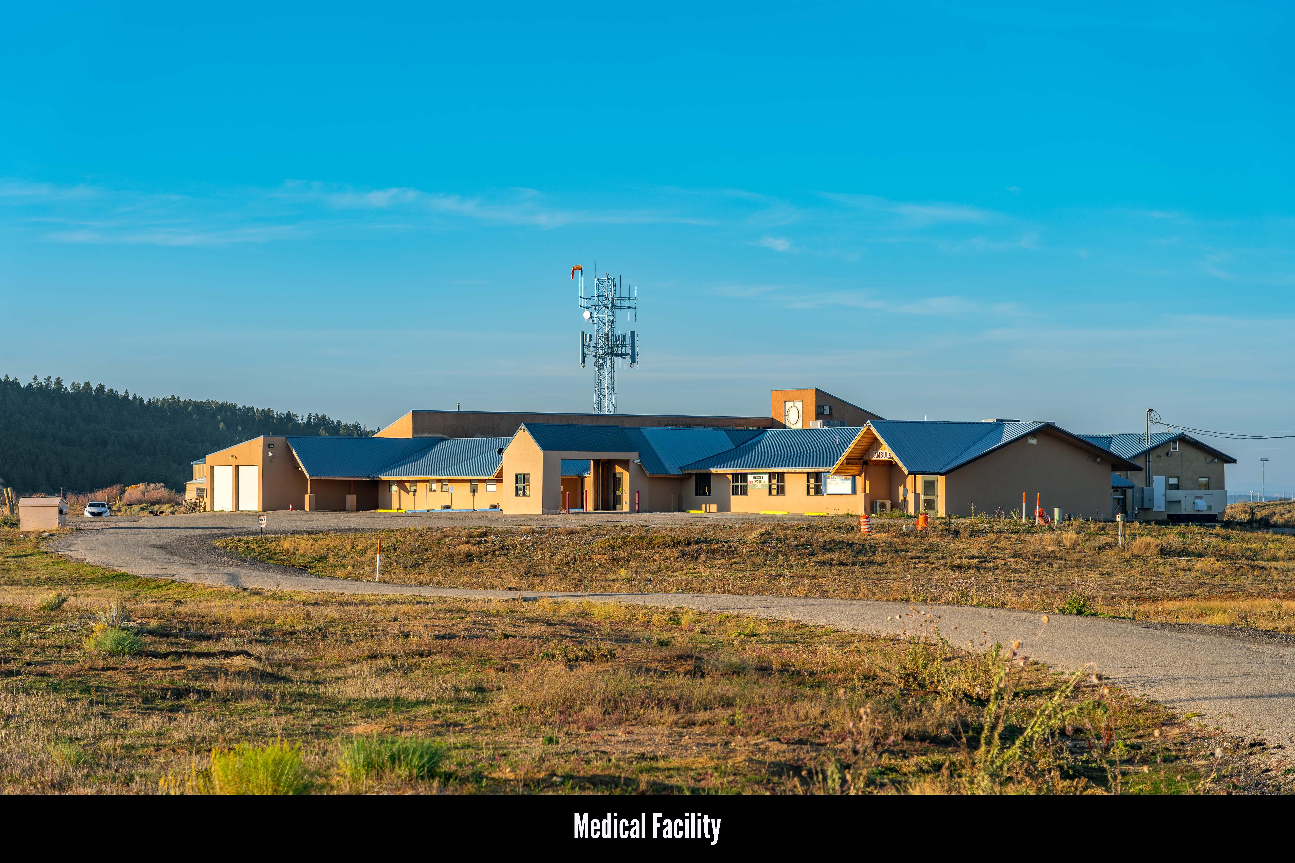
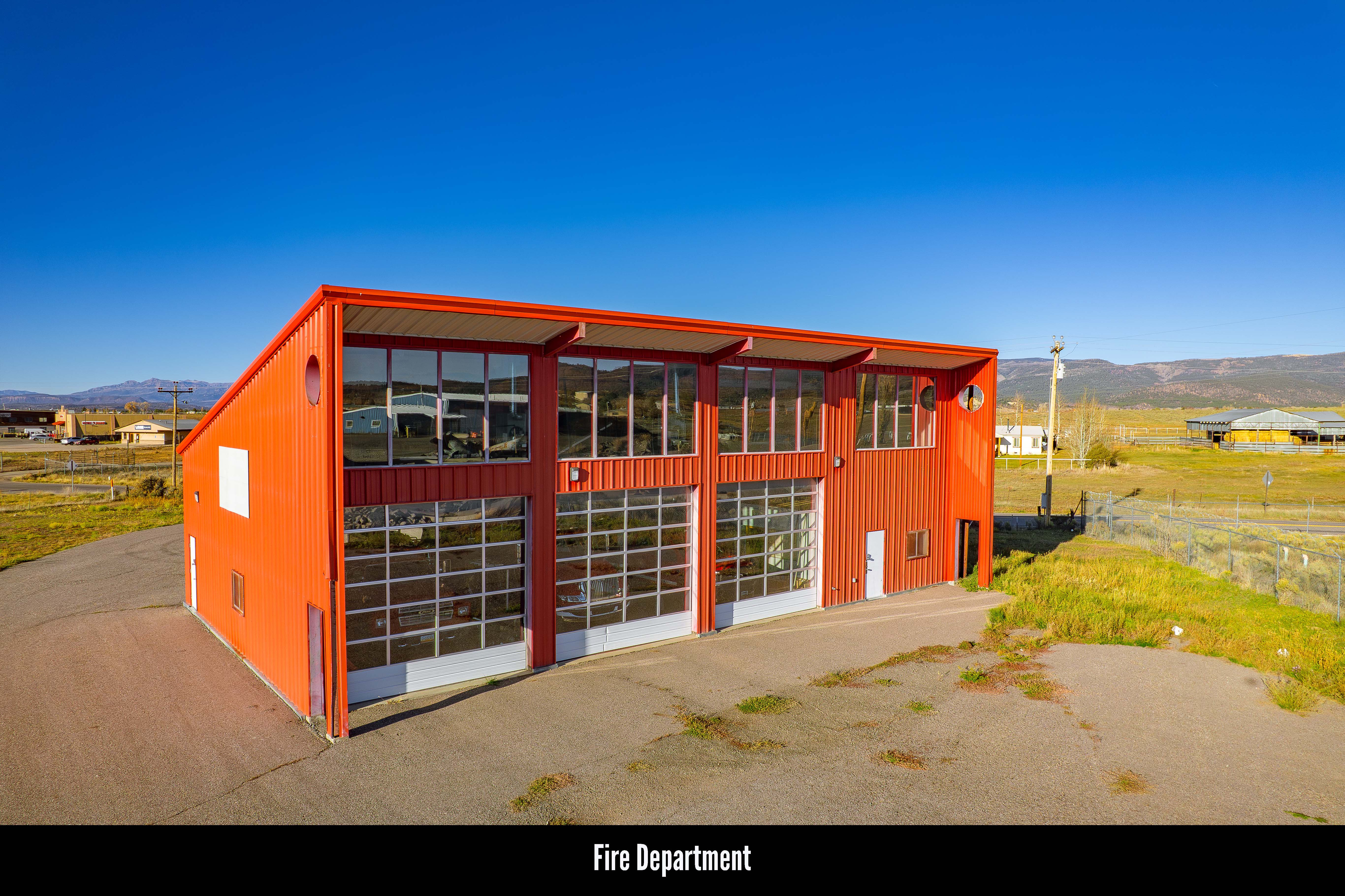
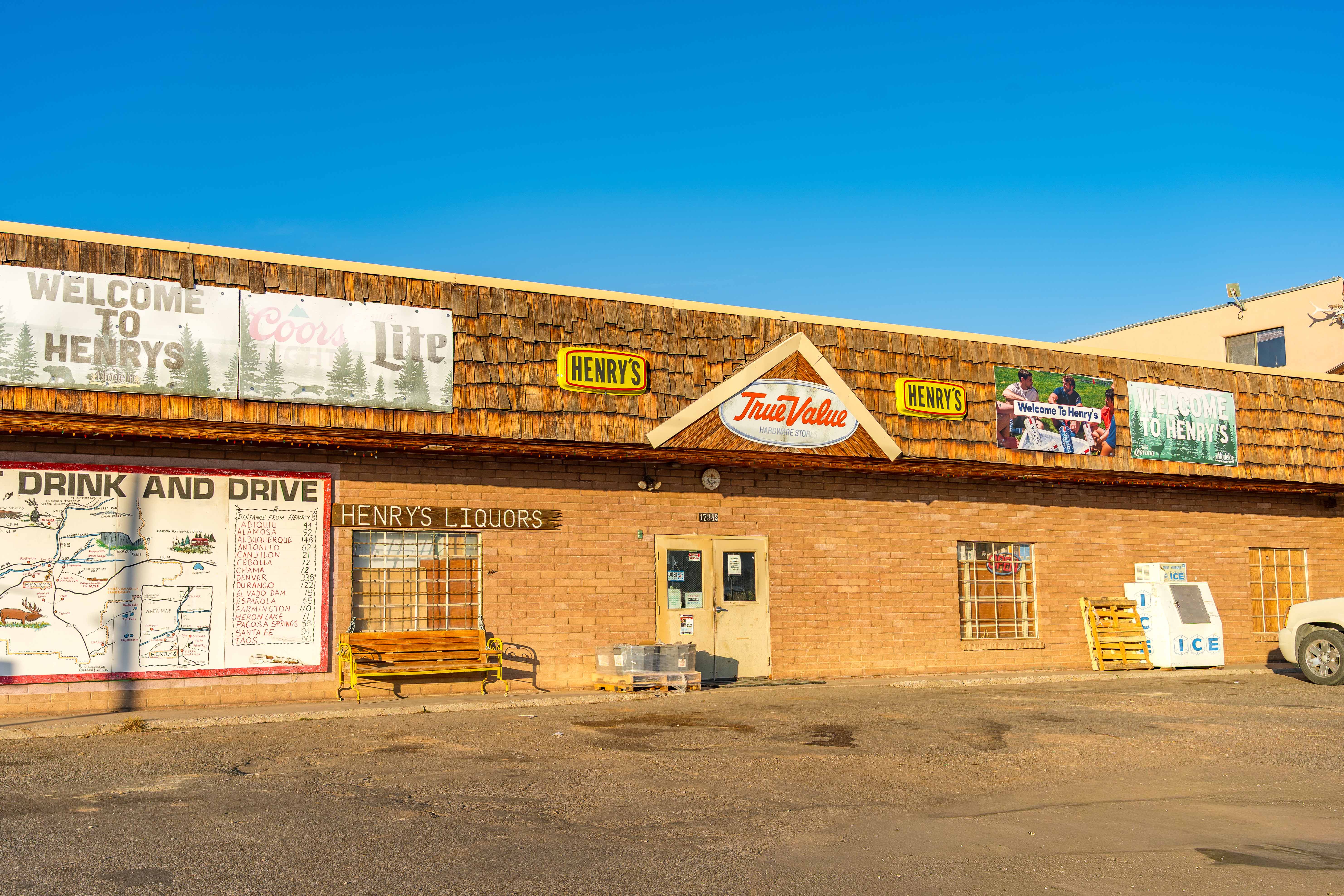
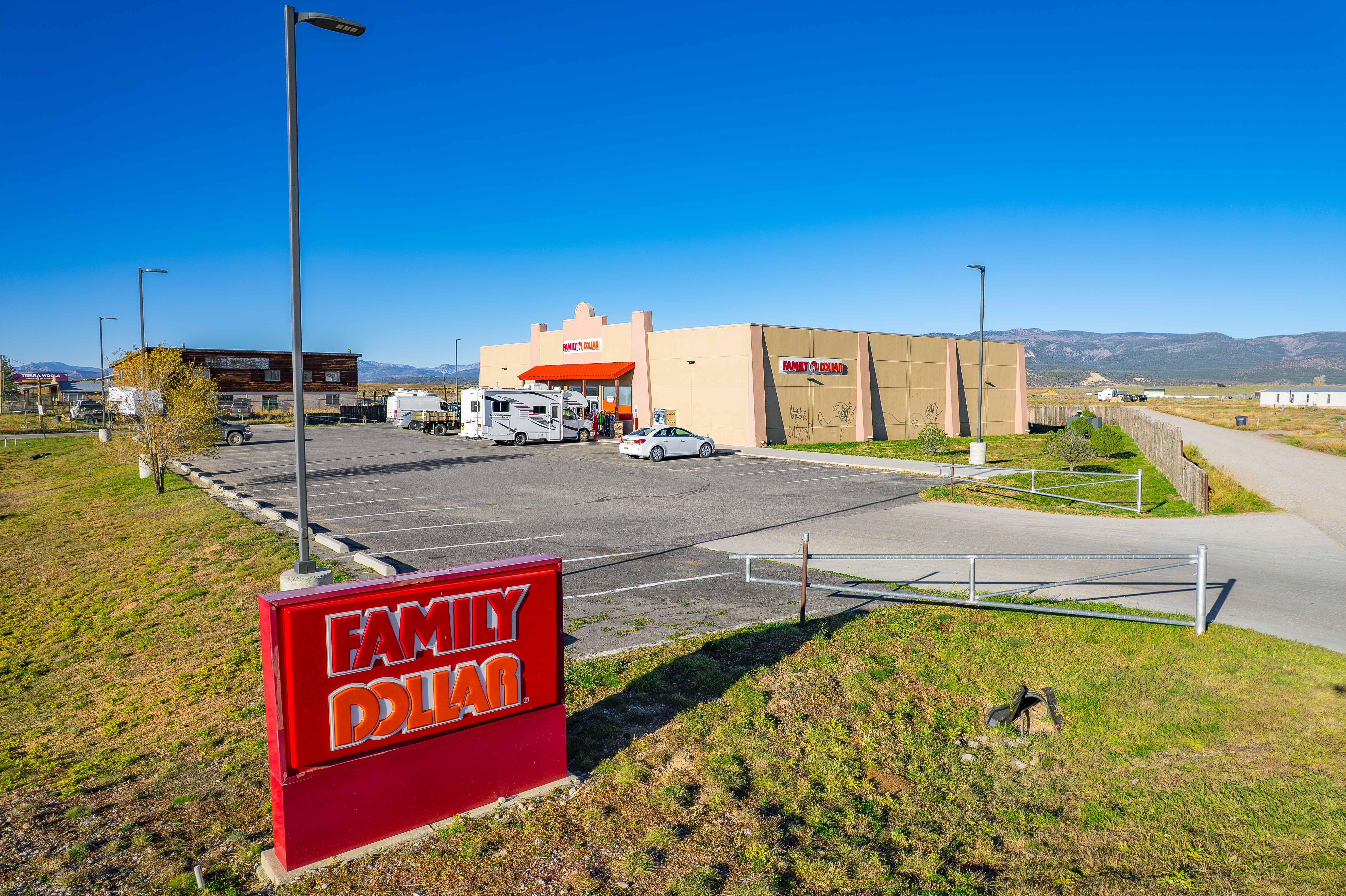
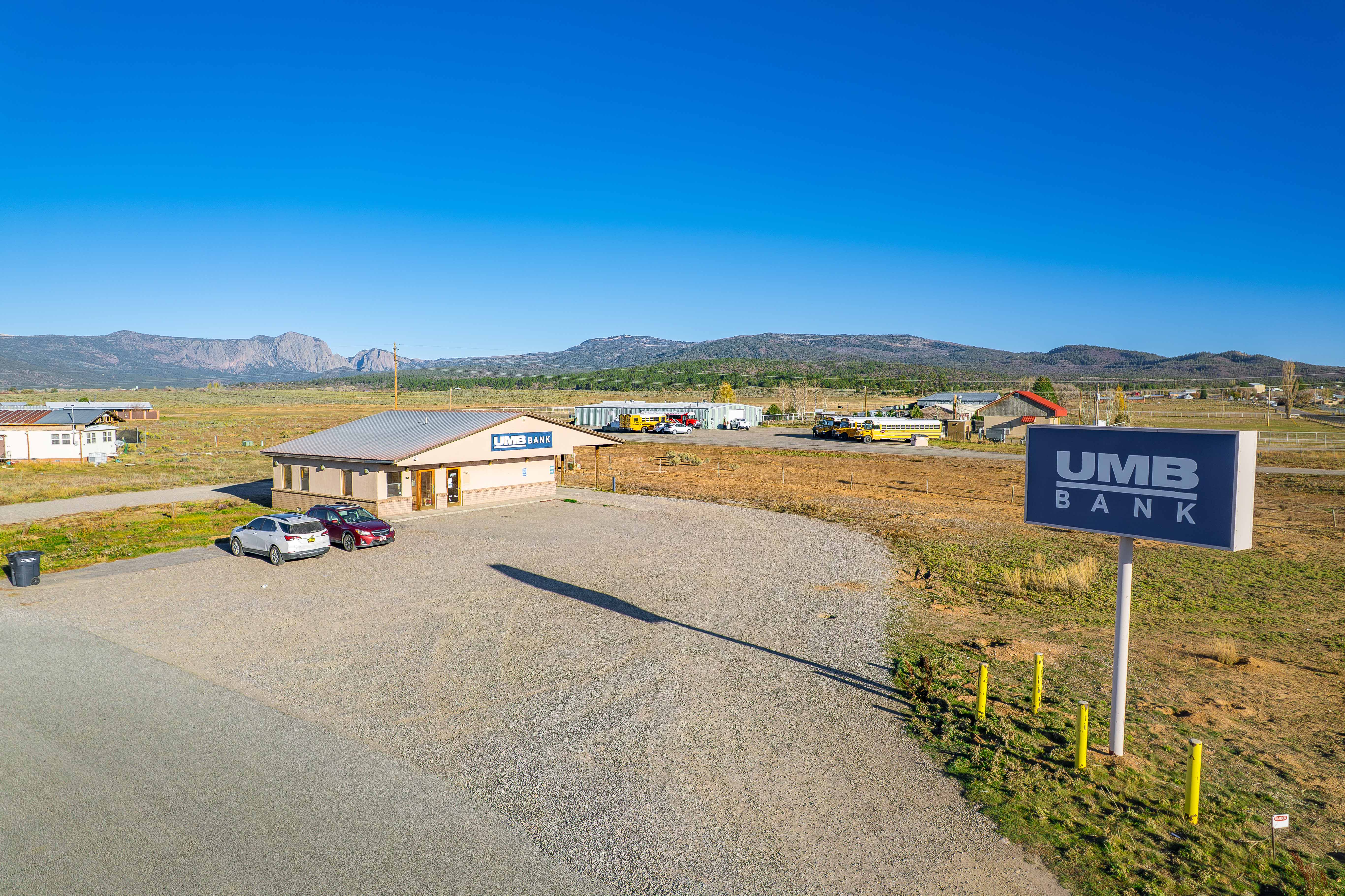
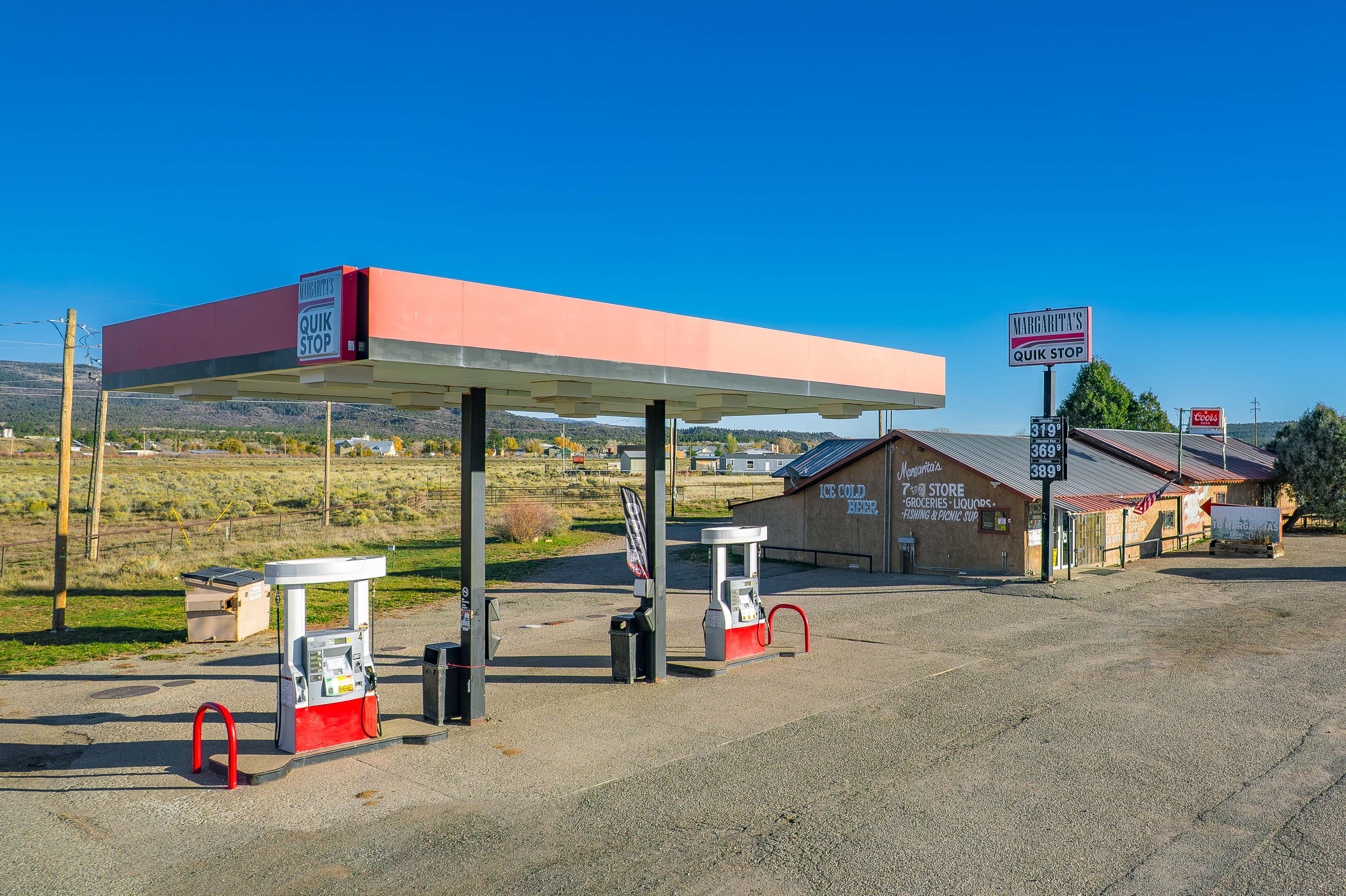
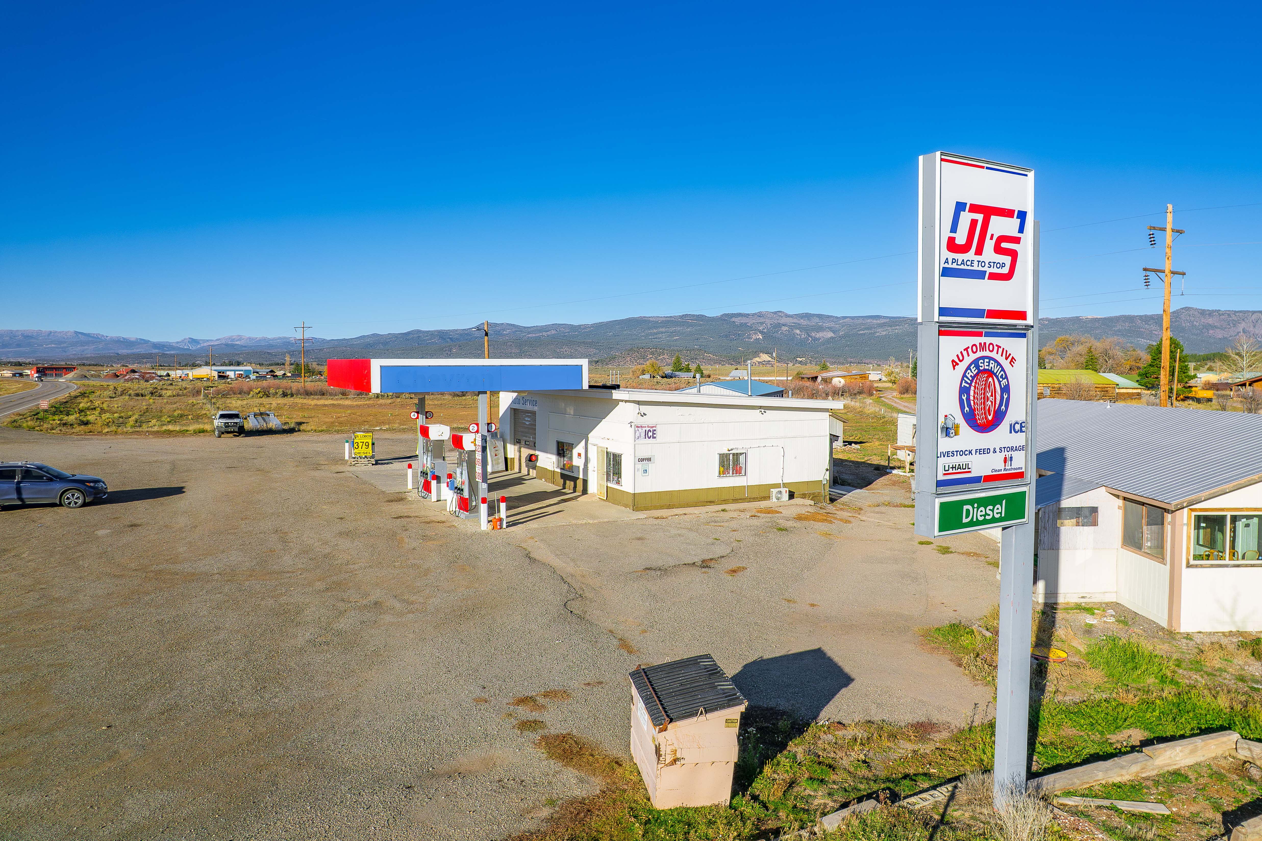
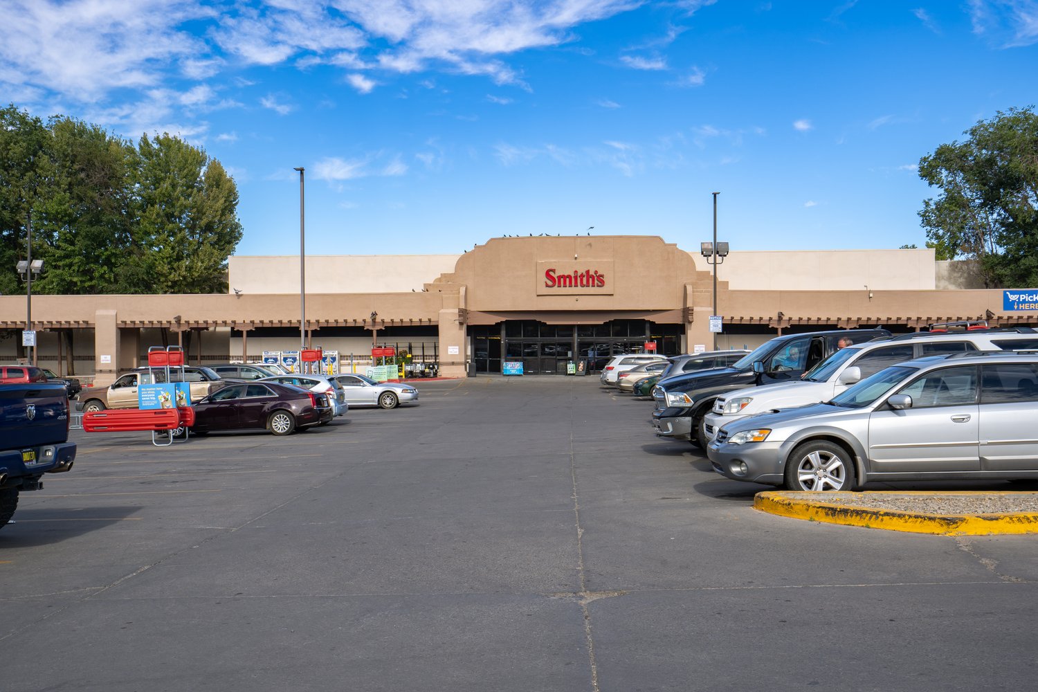
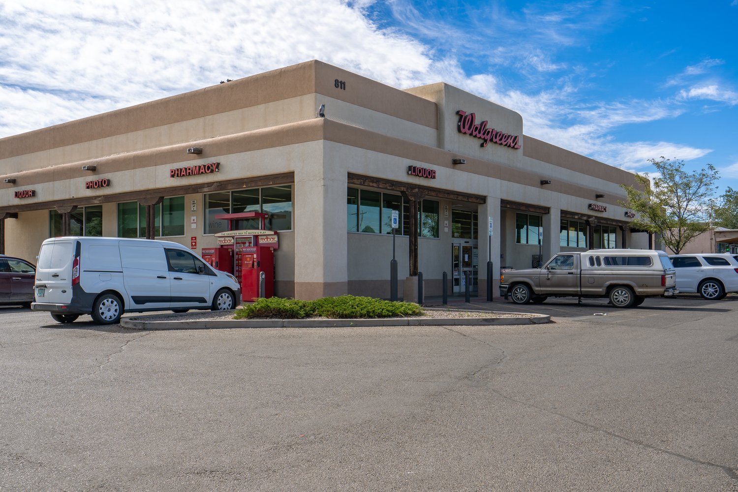
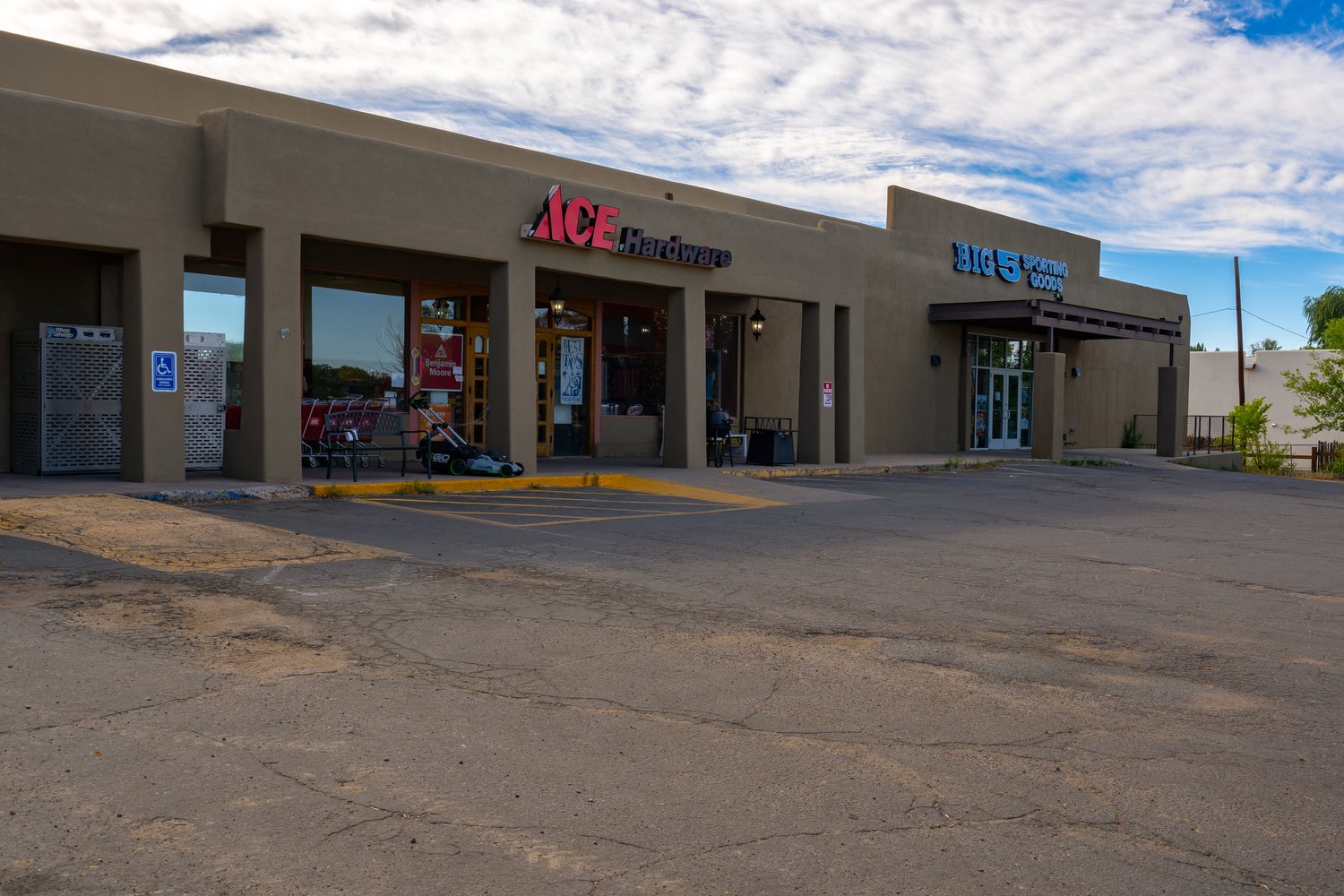
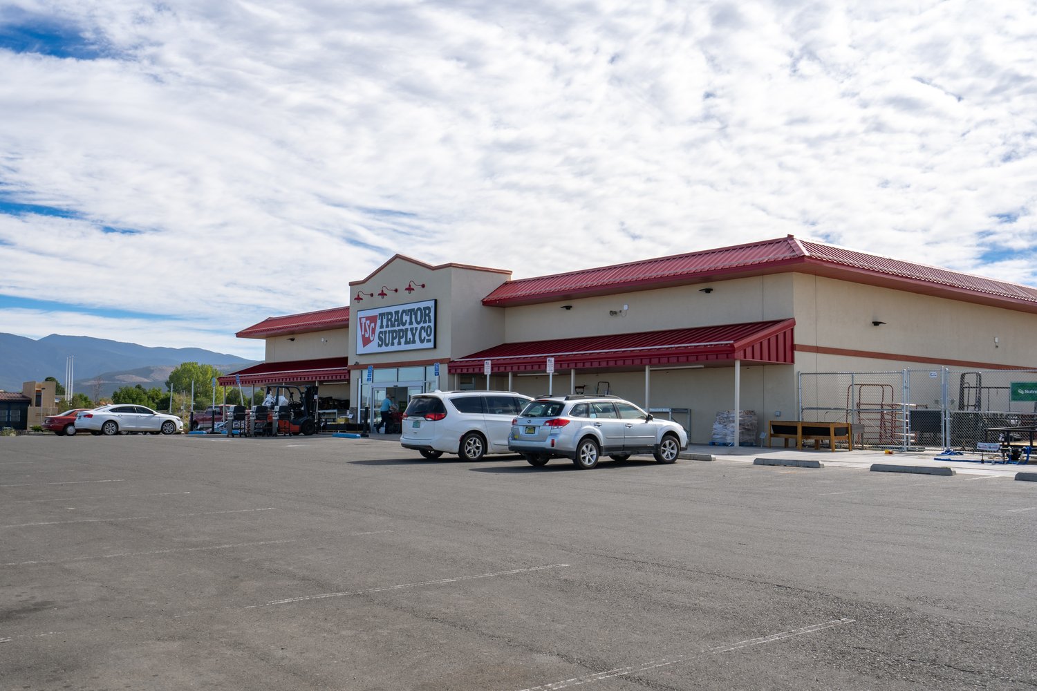
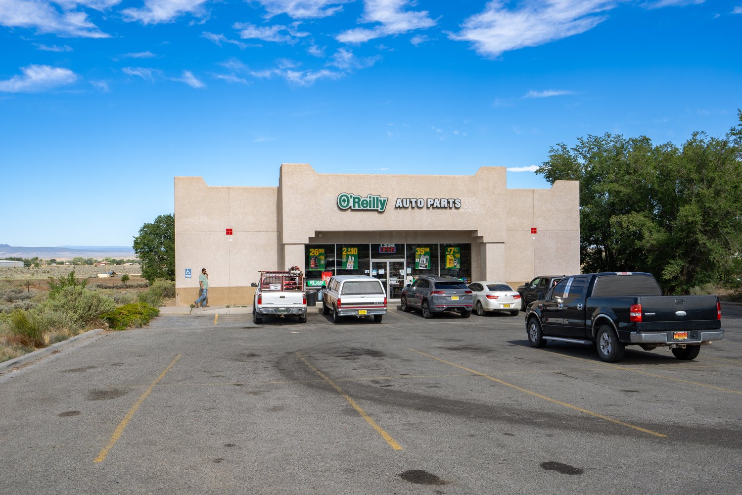
While the subject property is located outside Tierra Amarilla, it is ultimately limited in its commercial resources. In fact, the presence of a Family Dollar and a convenience store aside, there are not many stores for groceries and supplies. Fortunately, the town of Espanola (population roughly 10,000) is located roughly an hour southeast along Highway 84. There you’ll be able to find a number of big box stores including a Walmart Super Center and Lowe’s Home Improvement as well as fast food restaurants, pharmacies, schools and churches. In addition, the Presbyterian Hospital of Espanola is there along with the Santa Claran Hotel and Casino.
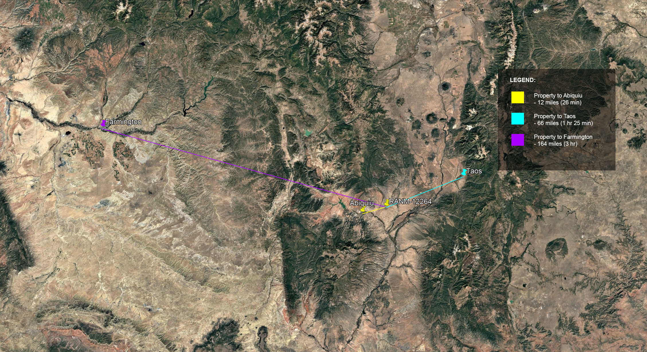
Abiquiu: 12 miles (26 min)
Española: 27 miles (42 min)
Santa Fe: 52 miles (1 hr 10 min)
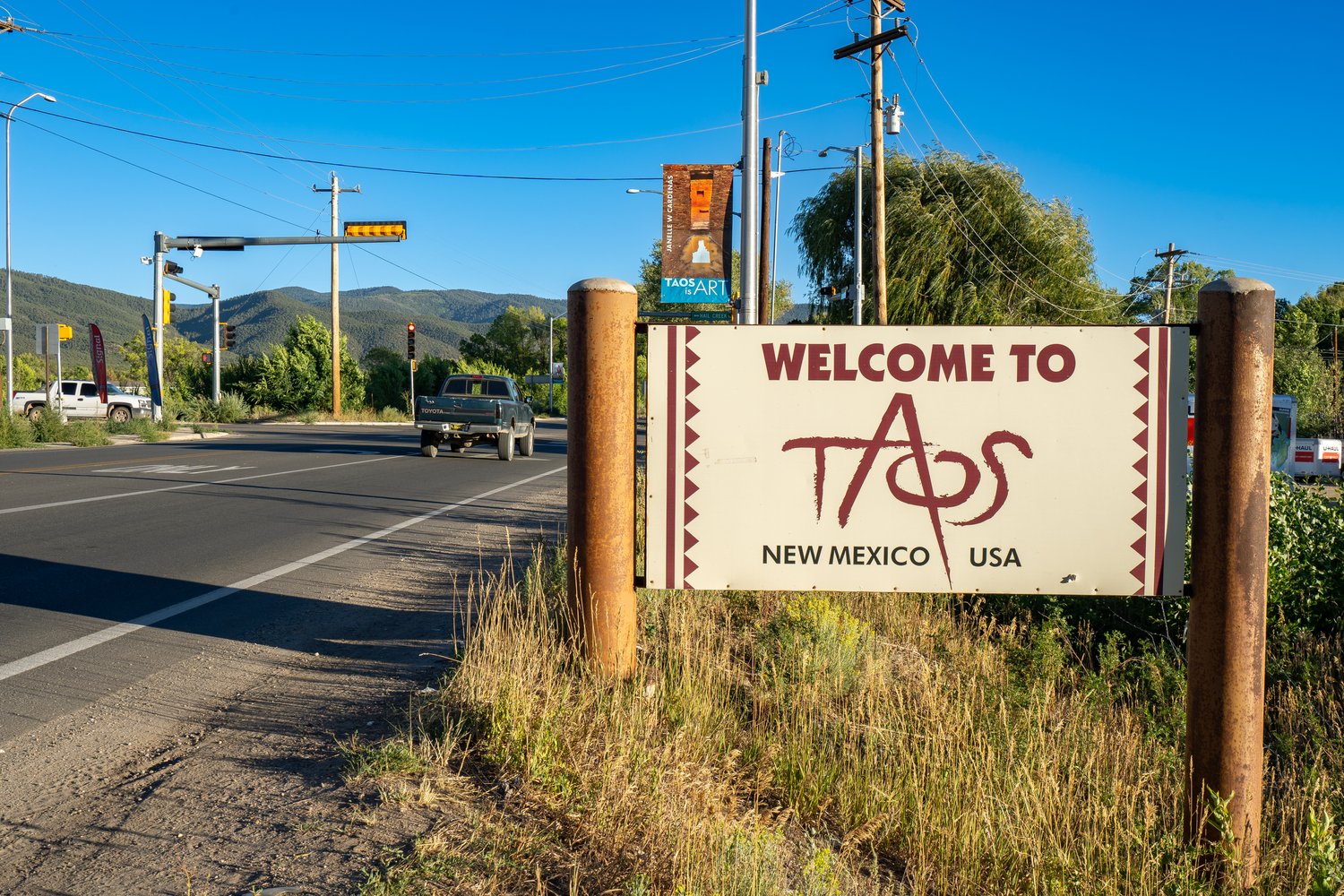
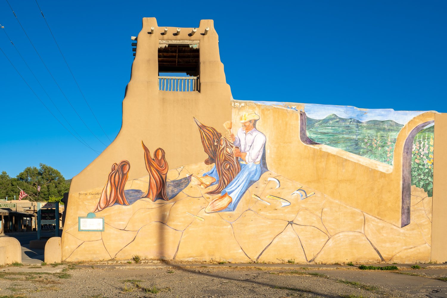
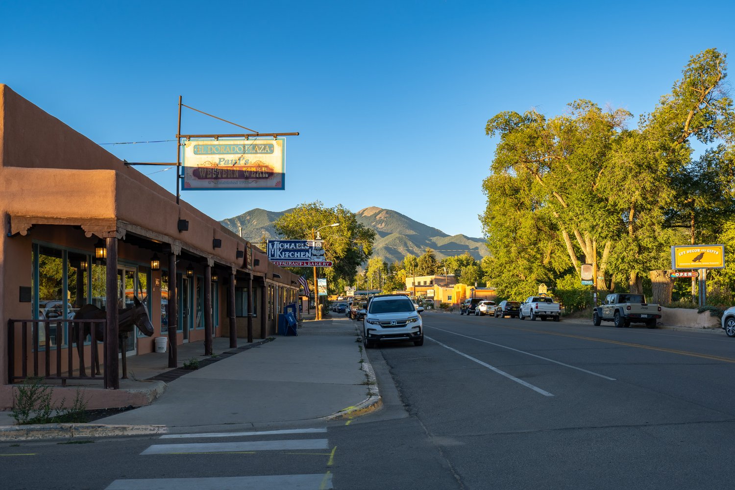
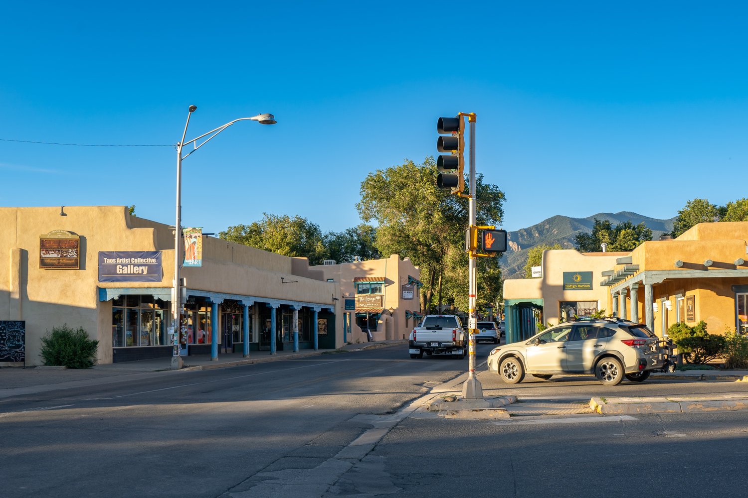
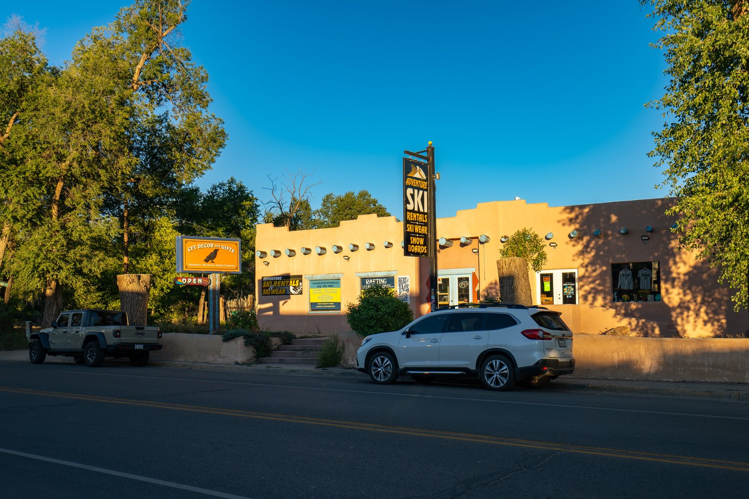
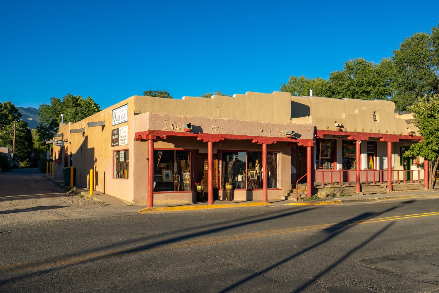
Taos: 66 miles (1 hr 25 min)
Albuquerque: 114 miles (2 hr 3 min)
Farmington: 164 miles (3 hr)
NEARBY ATTRACTIONS
Heron Lake State Park (Click Here)
El Vado Lake State Park (Click Here)
The Timbers At Chama (Click Here)
Fish Tail Ranch (Click Here)
Stone House Lodge (Click Here)
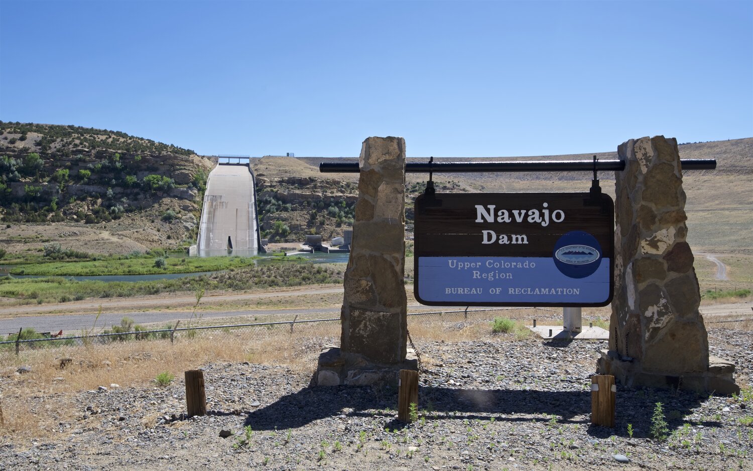
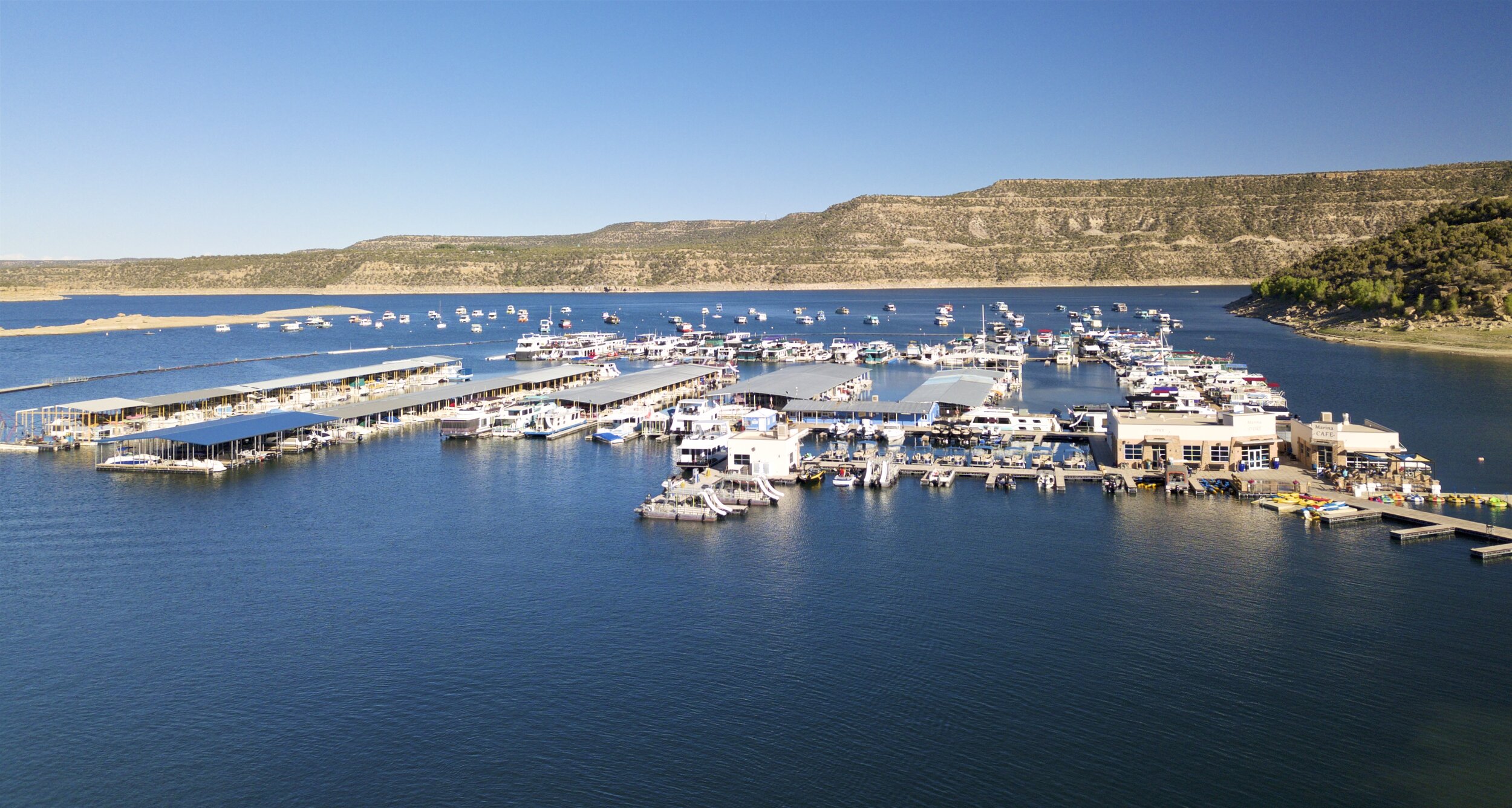
Navajo Dam Marina (Click Here)
Abiquiu Lake Recreation Area (Click Here)
Georgie O’Keefe Museum (Click Here)
Things To Do In Taos (Click Here)
Things To Do In Taos Ski Valley (Click Here)
Things To Do In Santa Fe (Click Here)